Last update
2025
Summary
Along the Ill between Colmar and Strasbourg, a basin-wide programme combines classical flood protection (dykes, optimisation/automation of barrages) with NWRM (riparian forest restoration, oxbow reconnections, stream re-naturalisation) to lower flood peaks, increase storage, curb erosion and enhance biodiversity. Initiated by the former Alsace Region, delivery today is ensured by the mixed association now called “Rivières de Haute-Alsace” (created in 2017; name adopted in 2020). The 2014–2024 Ill management scheme (~€19 m) included major works at Erstein’s Steinsau barrage: full refurbishment with a fish pass equipped for video-counting and six fish-friendly Archimedean screws for hydropower; Steinsau and nearby Boeschey are presented locally as multi-functional (flood safety, ecology, leisure, energy). The strategic framework continues in cycle-2 planning: the 2022–2027 Flood Risk Management Plan for Rhin-Meuse keeps priority on risk reduction, nature-based retention and space for rivers, while the SAGE “Ill–Nappe–Rhin” remains the operational reference (CLE renewed by prefectural order on 16 May 2024). Natura 2000 objectives in the Grand Ried also support reconnection and management of side arms to sustain floodplain habitats and functions.
Position
Latitude
48.583148
Longitude
7.747882
Project
NWRM
National Id
France 05 light
Implementation Status
Contact
Sabine Tutte, ACTeon
RBD code
FRC
Transboundary
0
Photo gallery

Location of the project
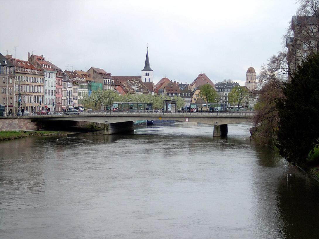
Ill floodplain between Colmar and Strasbourg (Grand Ried), e.g., around Erstein’s Steinsau barrage near the A35 corridor
NUTS Code
FR42 - Alsace
Project's objectives
The mobility of the river shall be preserved without encouraging further erosion. Therefore a land allocation process starts, alluvial forests are planted (68 km) and where possible barrages and bank stabilisations are deconstructed. Moreover, 15 hydraulic annexes are reconnected to the river in order to improve water storage capacity and solve water distribution problems. A discharge rill is constructed to the forest near Colmar in order to inundate the wood during flood events and protect fields and communities.
Involved Partners
| Authority type | Authority name | Role | Comments |
|---|---|---|---|
Climate zone
cool temperate dry
Temperature
10
Precipitation
550
Runoff
58
Runoff range
600 - 750 mm
Elevation range
151 m
Vegetation class
Alluvial riparian forests and floodplain meadows/roselières of the Grand Ried; ongoing riparian planting and side-arm reconnections are policy objectives.
Water bodies: Ecological Status
Bad
Water bodies: Chemical Status
Failing to achieve good
Water quality status
Agricultural nutrients/pesticides, hydromorphological alteration by structures, and groundwater stress; several surface-water bodies in the Upper Rhine sector show significant “substances” pressures.
Project scale
Meso
Project scale specification
River-reach/basin management between Colmar and Strasbourg, coordinating barrages, dyke works, riparian forests, and reconnection of multiple side arms across many communes.
Performance timescale
Immediate
Project area
12000
Multifunctionality (flood safety + ecology + recreation + energy); restoration/reconnection of floodplain units; automatisation/optimisation of barrages; fish passage. The Steinsau fishway has 8 pools (15 cm drops); hydropower via six Archimedean screws (~1 GWh/yr). No design storm or storage volumes are published in the sources.
Very low-gradient alluvial plain (Grand Ried) with high, near-surface Rhine aquifer; wide floodplain enables reconnections but silting can reclog side arms in 10–15 years; mixed ownership mosaic.
Partly dams have to be constructed or reinforced, otherwise the risk of severe inundation would not be justifiable. In order to maintain the natural mobility of the river, land of farmers has to be reallocated.
Total cost
25500000
Costs total information
19 to 32 million Euros: Next to NWRMs, construction costs for dykes and improvement of barrages and facilities appear. Moreover, the touristic branch is supported by several projects, and hydropower is encouraged as well.
Costs investment
12500000
Costs investment information
10 to 15 million Euros: plantation of forests, land acquisition, dyke renovation.
Costs operation maintenance information
No data available
Economic costs additional
300000
Administrative annual costs
340000
Financing authorities
Type of funding
EU-funds: Rural development funds
Comments
Support of sustainable farming (crop rotation, green cover...).
Type of funding
Local funds
Comments
Renovation of dykes, touristic development.
Type of funding
National funds
Comments
Support of hydropower projects.
Type of funding
Sub-national funds
Comments
Renovation of barrages, NWRM, Agro-environmental measures.
Type of funding
Sub-national funds
Comments
Publicity, support of hydropower, touristic development.
Compensations annual
2000000
Compensations annual information
Support of farmers by agro-environmental measures (encouragement of green cover, pastures, meadows, crop rotation).
Compensations scheme information
The agricultural compensations made in the context of EU CAP Pillar 2.
Policy context
The flood protection of commuities and fields is partly unsufficient. Due to erosion there is a remarkable loss of usable agricultural surface. Barrages and hydropower plants disturb the sediment transport of the river and are not passable for fish and boats. A natural alluvial forest is often missing and shall be restored for water quality improvement and fight against invasive species.
Land ownership
The Ill is state public river from Colmar to Strasbourg; key barrages (Steinsau, Boeschey, Kraft) are owned/managed by Région Grand Est. Floodplain forests in the Grand Ried are mostly public (state & communal), with some private parcels.
Community involvment
No
Design consultation activity
| Activity stage | Name | Key issues | Comments |
|---|---|---|---|
|
Implementation phase
|
Guide "rights and duties of riparians"
|
This is foreseen in project planning in order to educate the public.
|
Policy target
| Target purpose |
|---|
|
Peak-flow reduction
|
|
Increase Water Storage
|
|
Erosion Control
|
|
Improved Biodiversity
|
|
Oher Societal Benefits
|
Policy pressure
| Pressure directive | Relevant pressure |
|---|
Pressures remarks
The flood protection for some communities is missing, barrages and hydropower plants are not passable for fish and boats.
Policy impact
| Impact directive | Relevant impact |
|---|
Requirement directive
| Requirement directive | Specification |
|---|
Contractual arrangements
0
| Arrangement type | Responsibility | Role | Name | Comments |
|---|---|---|---|---|
|
The project has to pass the autorisation steps of the French Water Law. Moreover it has to be proven that the project is of public utility and of public interest in order to mobilize national funds
|
Part of wider plan
0
Wider plan type
| Wider plan type | Wider plan focus | Name | Comments |
|---|
Stations for counting fish are installed next to barrages and hydropower plants.
During the project the tourism branch is supported by improved water/ terrestrial trekking ways, better recreational spaces (bivouacs, camping, hotel restaurant access).
Without the management plan, 6.1 - 8 Mio € per year have to be foreseen as costs for floods.
Information on retained water
By reconnecting hydraulic annexes, installing discharge rills to flood forests and reallocation of land neighboring the river, the water retention capacity gets increased.
Information on runoff reduction
This shall be achieved by natural bank stabilisation and deconstruction of old barrages. By purchasing land a "mobility space" for the river shall be guaranteed.
Information on Maintenance baseflow
This shall be achieved by automatisation of barrages and optimized operation.
Information on Restoring hydraulic connections
Connections are restored.
Water quality overall improvements
N/A info
Information on Water quality overall improvements
This shall be achieved by restoring 68 km of alluvial forests next to the Ill.
Soil quality overall soil improvements
N/A info
Control campaigns for Himalayan Balsam and Japanese Knotweed; plantation of alluvial forests (high species diversity due to diverse habitats).
Information on Ecosystem impact climate regulation
No information available
Information on Ecosystem provisioning services
Better efficiency of hydropower plants due to improved sediment balance.
Key lessons
This management plan combines classical flood protection measures (construction of dykes, automatisation/optimization of barrages) with NWRM. It is difficult to have information on success (especially quantitative data) and monitoring. However, ecosystem services are taken into account to justify the measures.
The Ill basin management is still ongoing, with frequent subprojects. For example a 2019 flood plain reconnexion was carried out (with €850,000 funding from AERM) along with the creation of 0.75 ha of wetlands, 4.2 ha of woods, 3.5 ha of other vegetalized space). In 2023, a natural bank protection was carried out in Réguisheim for a total cost of €50,000.
The Ill basin management is still ongoing, with frequent subprojects. For example a 2019 flood plain reconnexion was carried out (with €850,000 funding from AERM) along with the creation of 0.75 ha of wetlands, 4.2 ha of woods, 3.5 ha of other vegetalized space). In 2023, a natural bank protection was carried out in Réguisheim for a total cost of €50,000.
Success factor(s)
| Success factor type | Success factor role | Comments | Order |
|---|---|---|---|
|
Financing possibilities
|
main factor
|
<p>Since the project is in the implementation phase, there is no sufficient information.</p>
|
1
|
Driver
| Driver type | Driver role | Comments | Order |
|---|---|---|---|
|
Legal obligations
|
main driver
|
The good ecological status of the Ill has to be achieved.
|
1
|
|
Past flooding events
|
main driver
|
Due to regular floods in winter and spring there are severe damages on pastures and fields. Valuable agricultural land is lost (approx. 150 ha in 10 years). Agriculture is a very important economic branch with a gross margin of 16 million €
|
2
|
|
Public pressure
|
main driver
|
Flood protection is partly missing for entire villages (Kogenheim 1000 inhabitants). Dykes have weak points and need to be renovated.
|
3
|
|
Balancing different objectives
|
secondary driver
|
Water and terrestrial hiking pathways are missing. Barrages are not passable, and dangerous due to a lack of signalisation. Fishing associations wish a better accessibility to the river.
|
4
|
Transferability
High to other lowland rivers with levees/dams—requires strong basin governance, land re-allocation capacity, and long-term O&M; watch for side-arm silting that may close reconnections within 10–15 years.
English