The Hungarian-Slovenian cross-border water cooperation dates back to 1994.
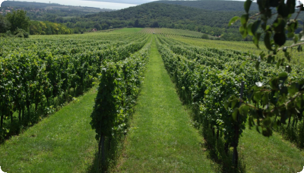
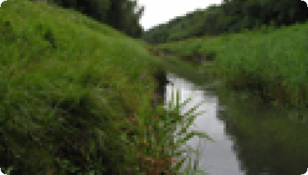
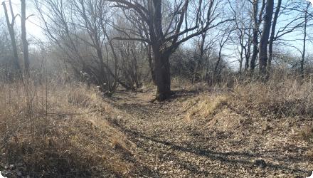
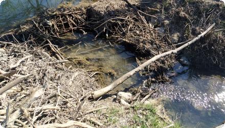
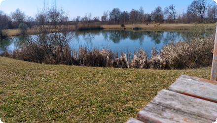
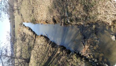
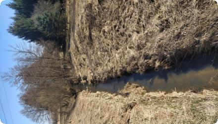
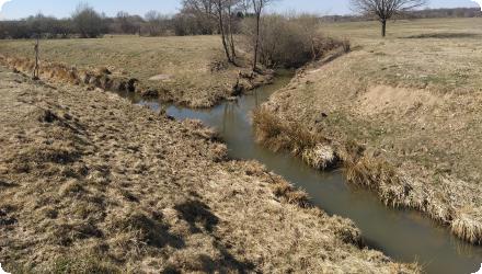
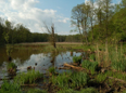
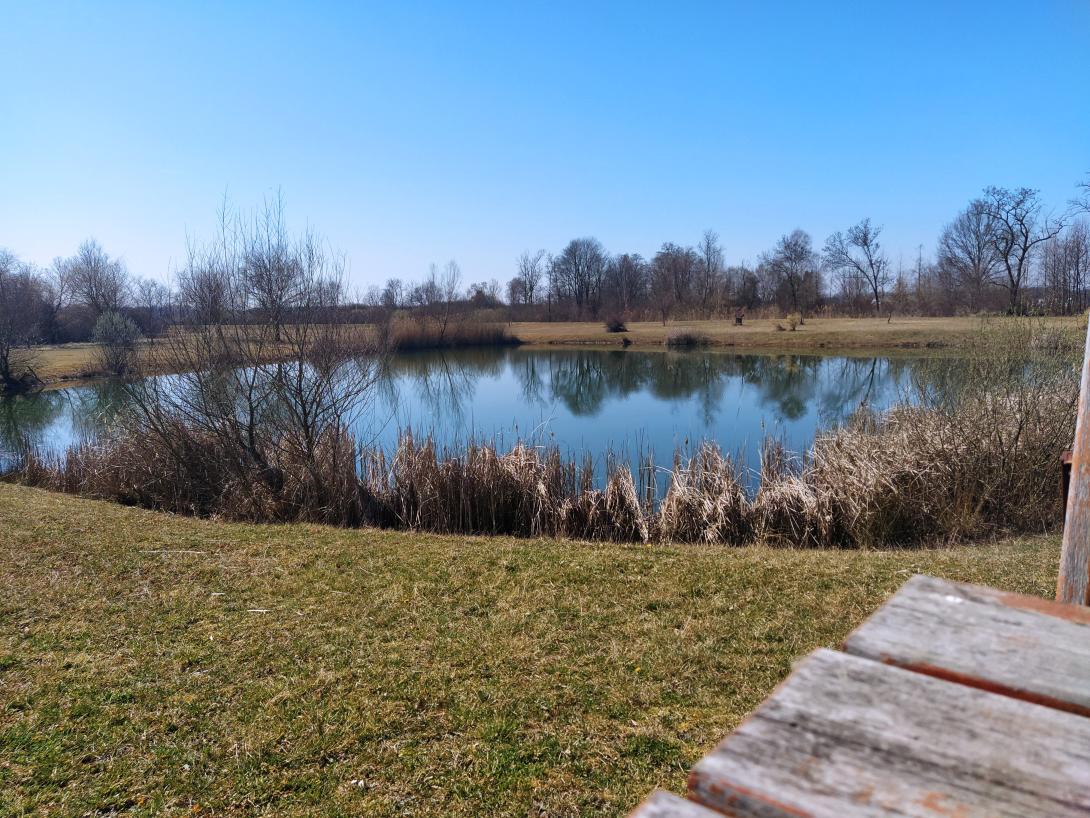
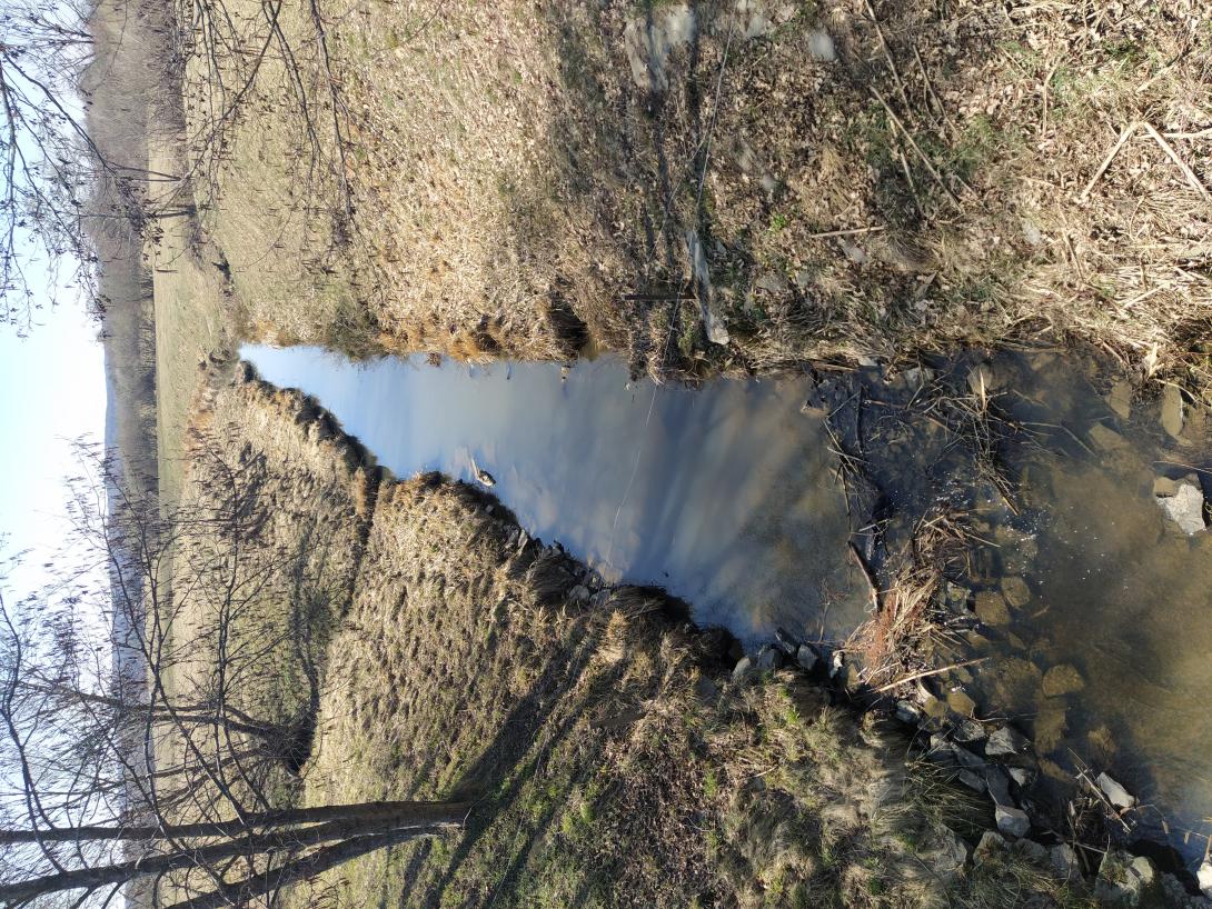
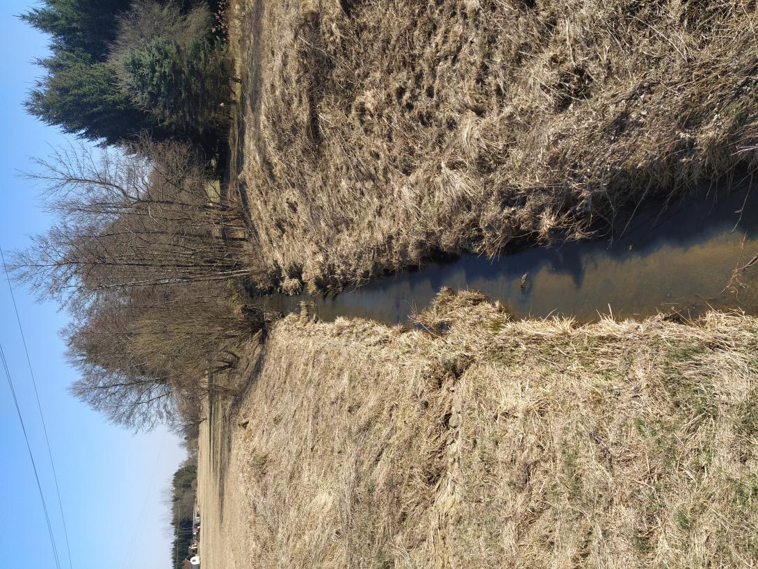
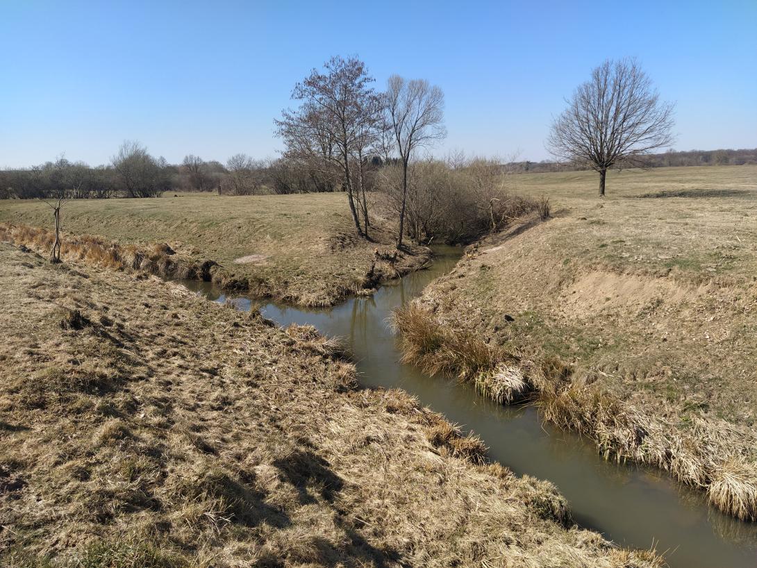
SI: The Slovenian part of Kobiljski potok (Hungarian "Kebele") is located in the Pomurska region and forms part of a transboundary agricultural catchment shared with Hungary. The area is characterized by intensive cereal production and pig farming, with sections falling under Natura 2000 and designated water protection zones. Key challenges include seasonal droughts, flood risk during heavy rainfall, limited space for buffer strips, and low groundwater availability for irrigation due to extensive drainage infrastructure.
OPTAIN seeks to identify efficient NSWRM to better adapt to extreme events (floods, droughts) and reduce conflicts between agricultural water uses and other human and environmental demands on water in small catchments across Europe in close cooperation with local actors.
| Authority type | Authority name | Role | Comments |
|---|---|---|---|
Climate
Annual Averages:
Geography
SI: Average slope: 10–12%
SI: arable land, grassland, meadows,forest
Water quality
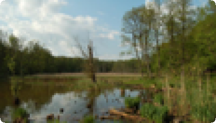
HU:Kebele catchment is located in southwestern Hungary, at elevations of 150–320 meters. The area has a moderately warm, humid climate and hilly terrain with valleys. Soils are mainly brown forest soils (Cambisols) and meadow soils (Gleysols). Natural vegetation includes forests and wet meadows, supporting rich biodiversity.
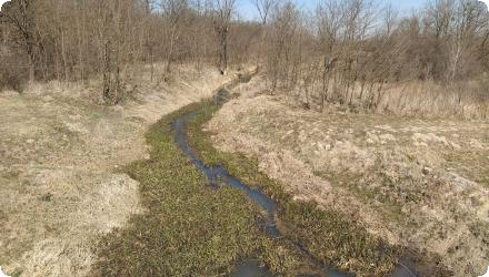
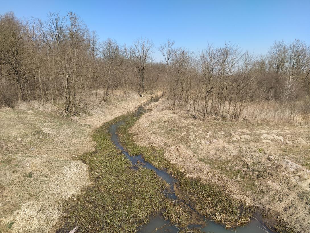
SI: The Kobiljski potok catchment is located in the Pomurska region of northeastern Slovenia, covering an area of approximately 306 km². The elevation ranges from around 170 to 330 meters above sea level, with gentle to moderately steep slopes, averaging 10–12%.
The area falls within the cool temperate moist (Pannonian) climatic zone, with an average annual temperature of 9.5–10.5 °C and precipitation ranging from 800 to 1000 mm/year. Due to high evapotranspiration (600–700 mm/year) and summer droughts, the mean annual runoff is relatively low (200–400 mm/year).
The dominant soils in the catchment are Cambisols and Luvisols, supporting a mix of arable land, grasslands, and scattered forested areas. Groundwater levels vary between 5 and 20 meters, depending on elevation and proximity to the stream.
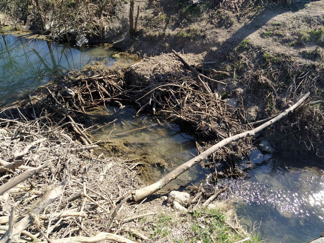
The ecological status of the water bodies is generally classified as Mederate, though certain sections face localized degradation due to nutrient pollution and hydromorphological pressures. Chemical status is not officially rated but is assumed to be moderate to good, with no major contamination reported.
The vegetation includes arable crops, permanent grasslands, and linear riparian vegetation, though space limitations often constrain buffer strip implementation along the watercourse.
Scale of the project
Size of the project
SI: rural, urban (towns)
| Land use change type | Comment |
|---|---|
| Authority name | Type of funding | Financing share | Comments |
|---|
| Activity stage | Name | Key issues | Comments | |
|---|---|---|---|---|
| Target purpose | |
|---|---|
|
Runoff control
|
|
|
Peak-flow reduction
|
|
|
Groundwater Recharge
|
|
|
Increase Water Storage
|
|
|
Pollutants Removal
|
| Policy area type | Policy area focus | Name | Comments | |
|---|---|---|---|---|
| Wider plan type | Wider plan focus | Name | Comments | |
|---|---|---|---|---|
| Requirement directive | Specification | |
|---|---|---|
| Success factor type | Success factor role | Comments | Order |
|---|---|---|---|
| Driver type | Driver role | Comments | Order |
|---|---|---|---|