
| Authority type | Authority name | Role | Comments |
|---|---|---|---|
Climate
Annual Averages:
Geography
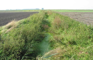
Water quality
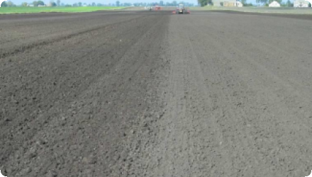
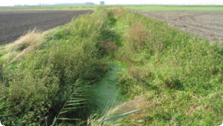
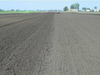
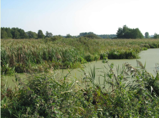
Small agricultural catchment locted in lowland area with limited water resources. Due to intensive agriculture - problems with surface and ground water quality. Potential sites for implementation some mearsures have been proposed in modelling.
Scale of the project
Size of the project
| Land use change type | Comment |
|---|---|
|
no land use change |
In OPTAIN project as modelling study - not applicable. Long and complicated administrative procedures necessary to obtain water-legal permits and building permits; lack of acceptance by neighbouring land owners. Most popular among farmers are direct, area and agri-environmental subsidies.
| Authority name | Type of funding | Financing share | Comments | |
|---|---|---|---|---|
|
EU-funds: Rural development funds
|
Potentially
|
|||
|
National funds
|
Potentially
|
|||
|
Local funds
|
||||
|
Private funds
|
| Activity stage | Name | Key issues | Comments | |
|---|---|---|---|---|
|
Design phase
|
MARG- Multi-actor reference group
|
Of the 19 informants interviewed, all agreed that policy mechanisms were not adapted to resolving the environmental and water quantity concerns of stakeholders.
|
Surveys were carried out with stakeholders to better understand barriers and challenges to implementing NWRM in the agricultural sector.
|
| Target purpose | |
|---|---|
|
Pollutants Removal
|
|
|
Oher Societal Benefits
|
|
|
Erosion Control
|
|
|
Increase Water Storage
|
| Policy area type | Policy area focus | Name | Comments | |
|---|---|---|---|---|
|
Primary
|
Water Framework Directive
|
|||
|
Primary
|
Common Agricultural Policy
|
Common Agricultural policy
|
||
|
Primary
|
Nitrate Directive
|
| Requirement directive | Specification | |
|---|---|---|
|
Nitrate Directive (NiD) 91/676/EEC
|
|
|
|
WFD-achievement of good chemical status
|
Mulching is included into EU Good Agricultural and Environmental Conditions (GAEC) standards refering to the sustainable agriculture. Using this measure allow to reach the targets of the Nitrate Directive.
In the OPTAIN project model simulations were performed. Regarding agrotechnical measures in the Zgłowiączka river catchment, mulching was included in the modeling and impact of this measure was not tested on the ground.
| Driver type | Driver role | Comments | Order |
|---|---|---|---|
|
Availability of subsidies
|
main driver
|
Sufficient funding
|
|
|
Other
|
main driver
|
Awareness of enironmental benefits and protection of soil quality and water resources (quantity and quality) in the region
|
In OPTAIN project as modelling study - not applicable. Potentially: Increase of knowledge and awarness on low water resources and quality problems and measures possible to implement.