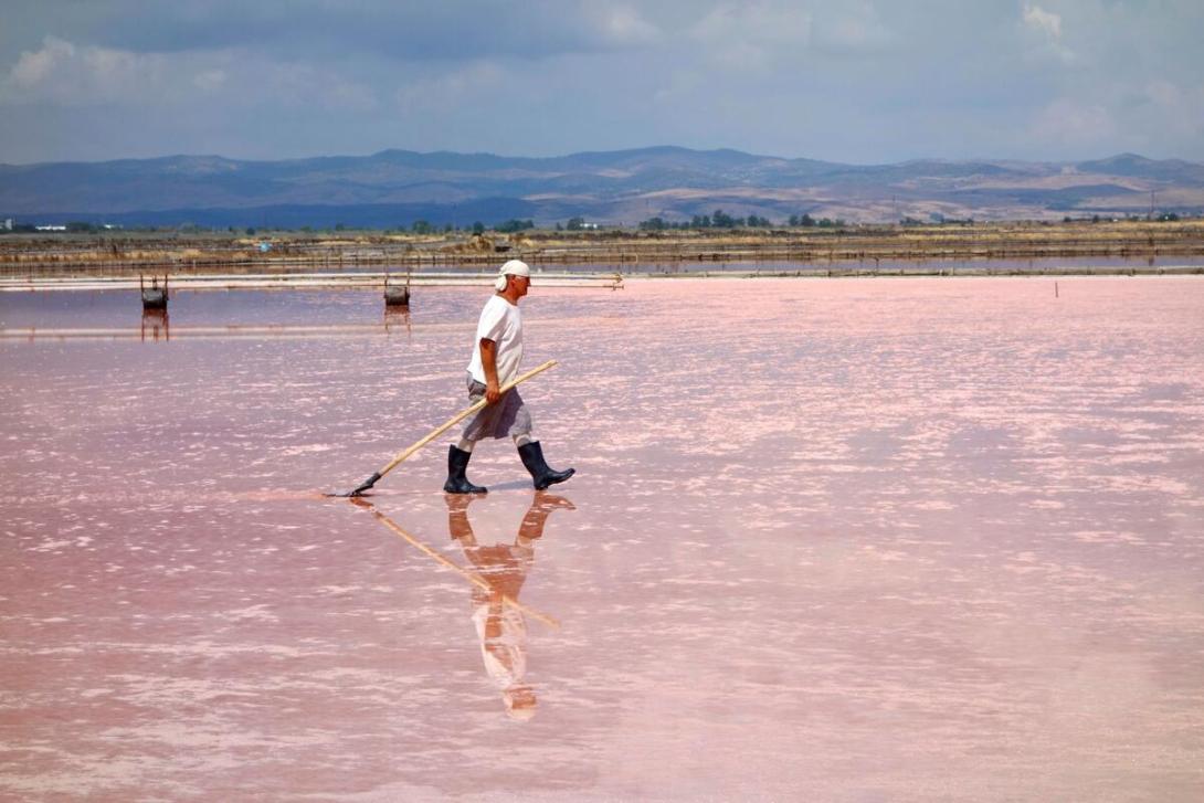
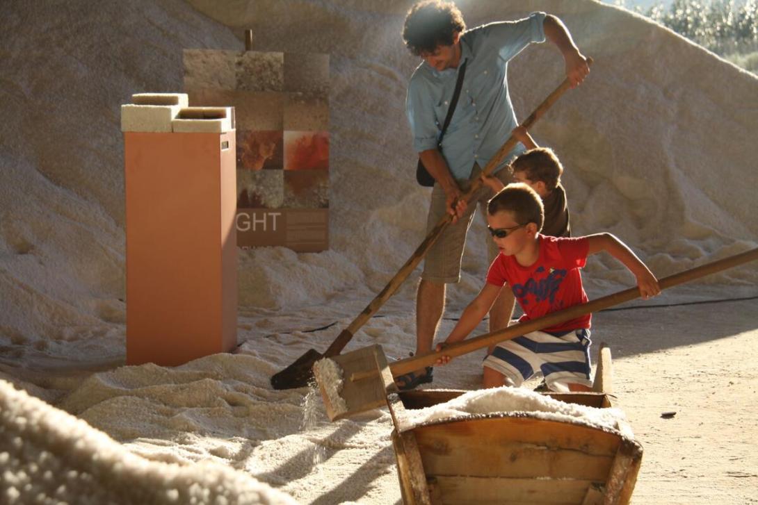
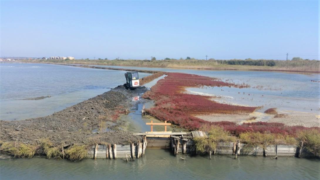
Completed

Summary
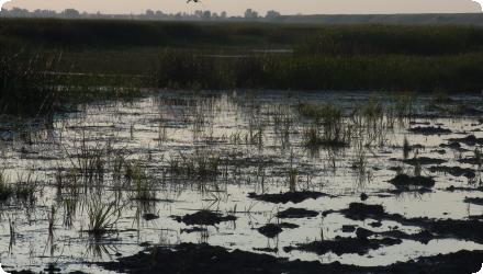
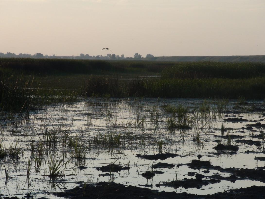
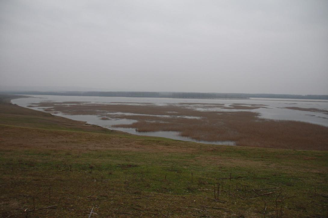
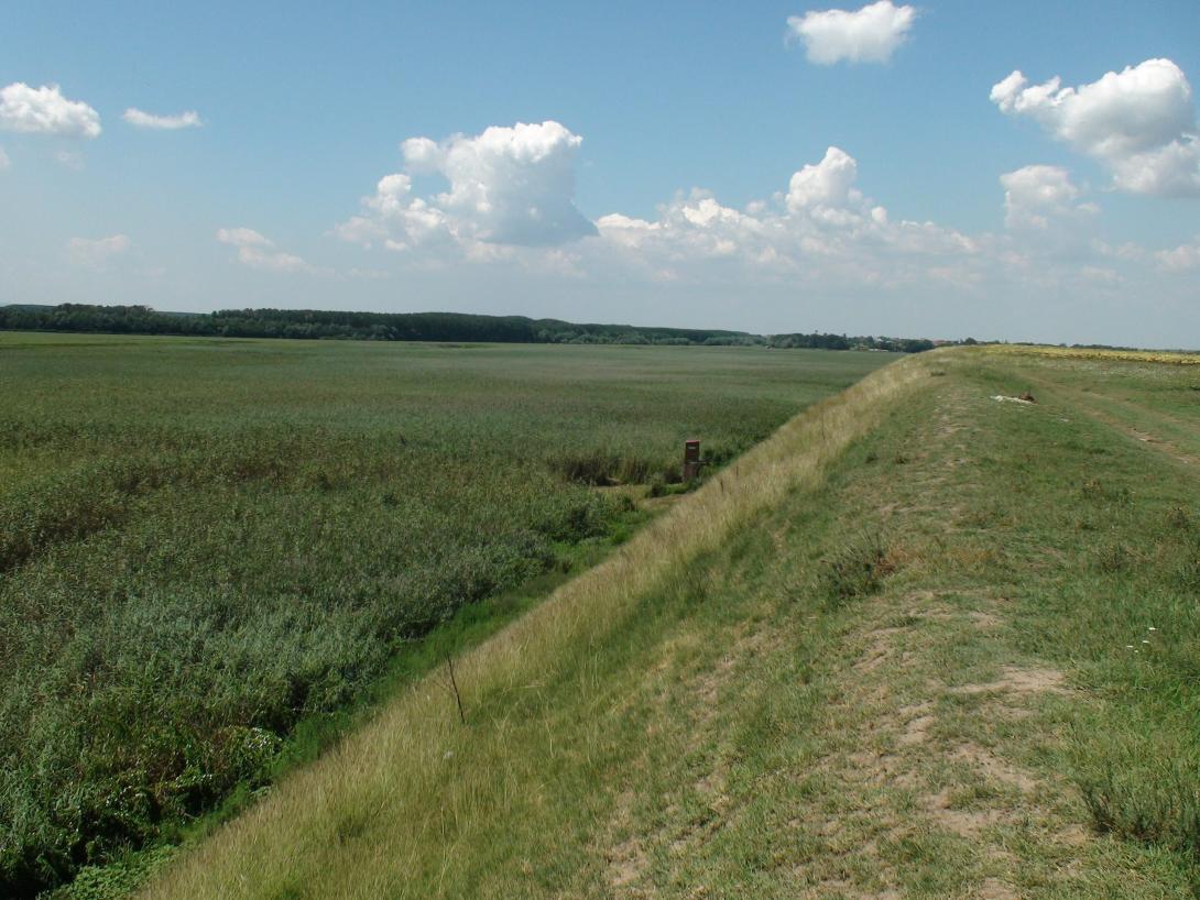
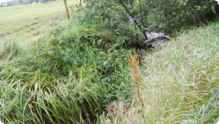
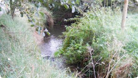
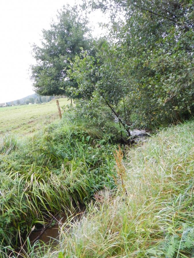
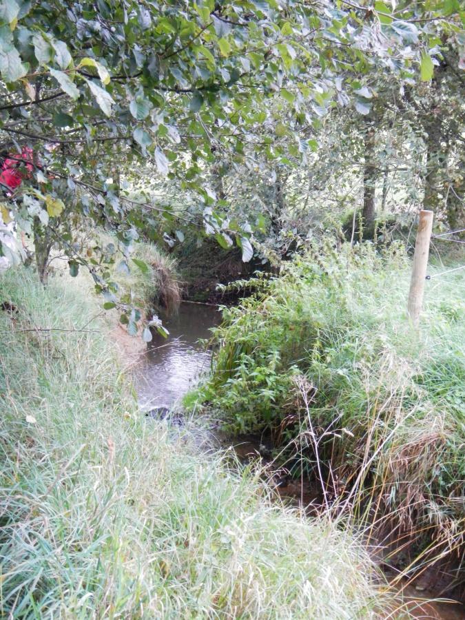
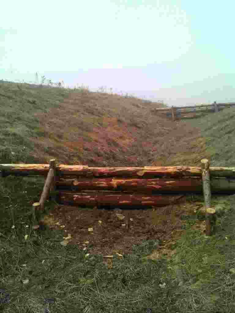
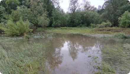
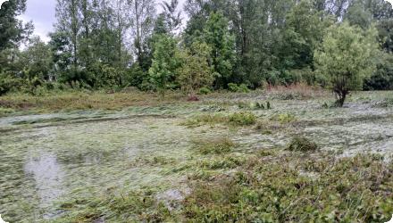
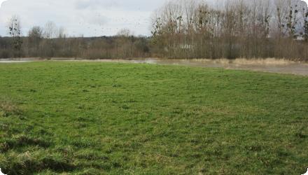
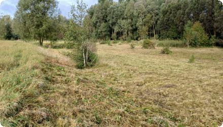
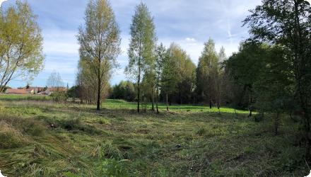
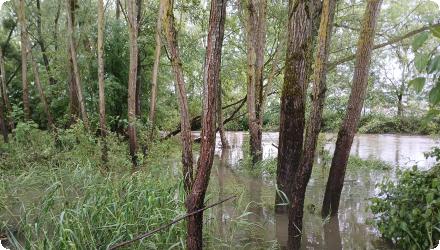
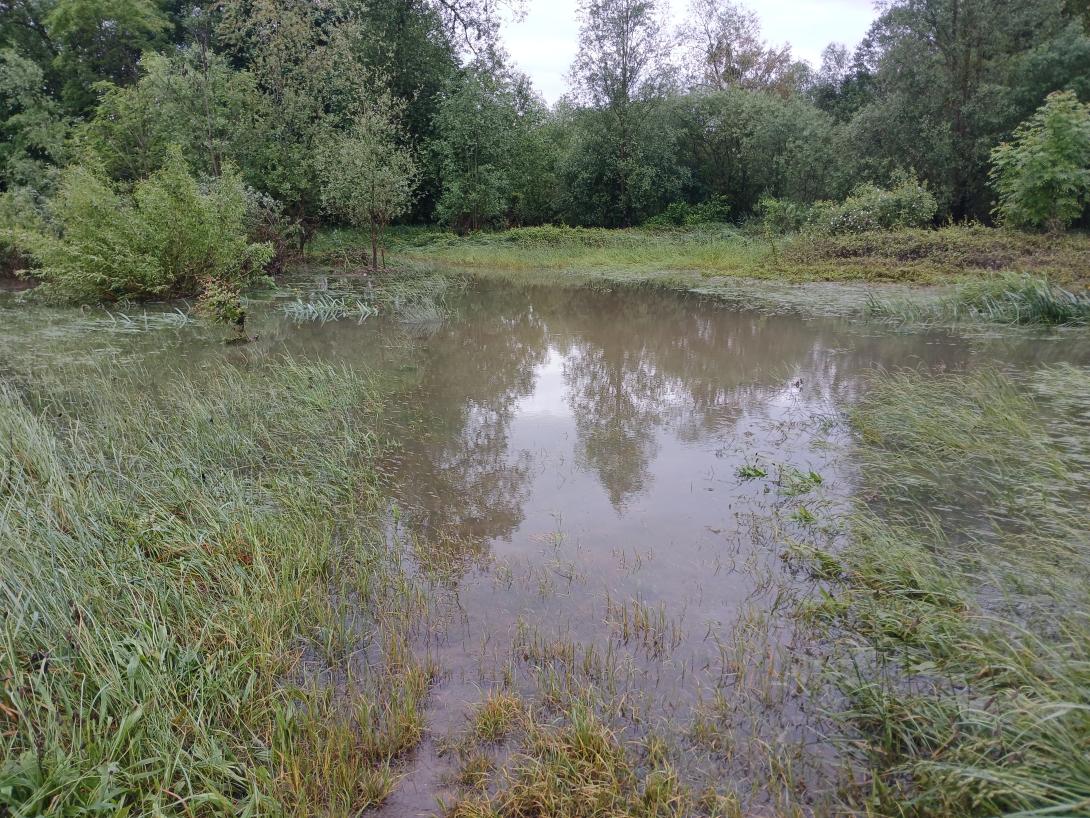
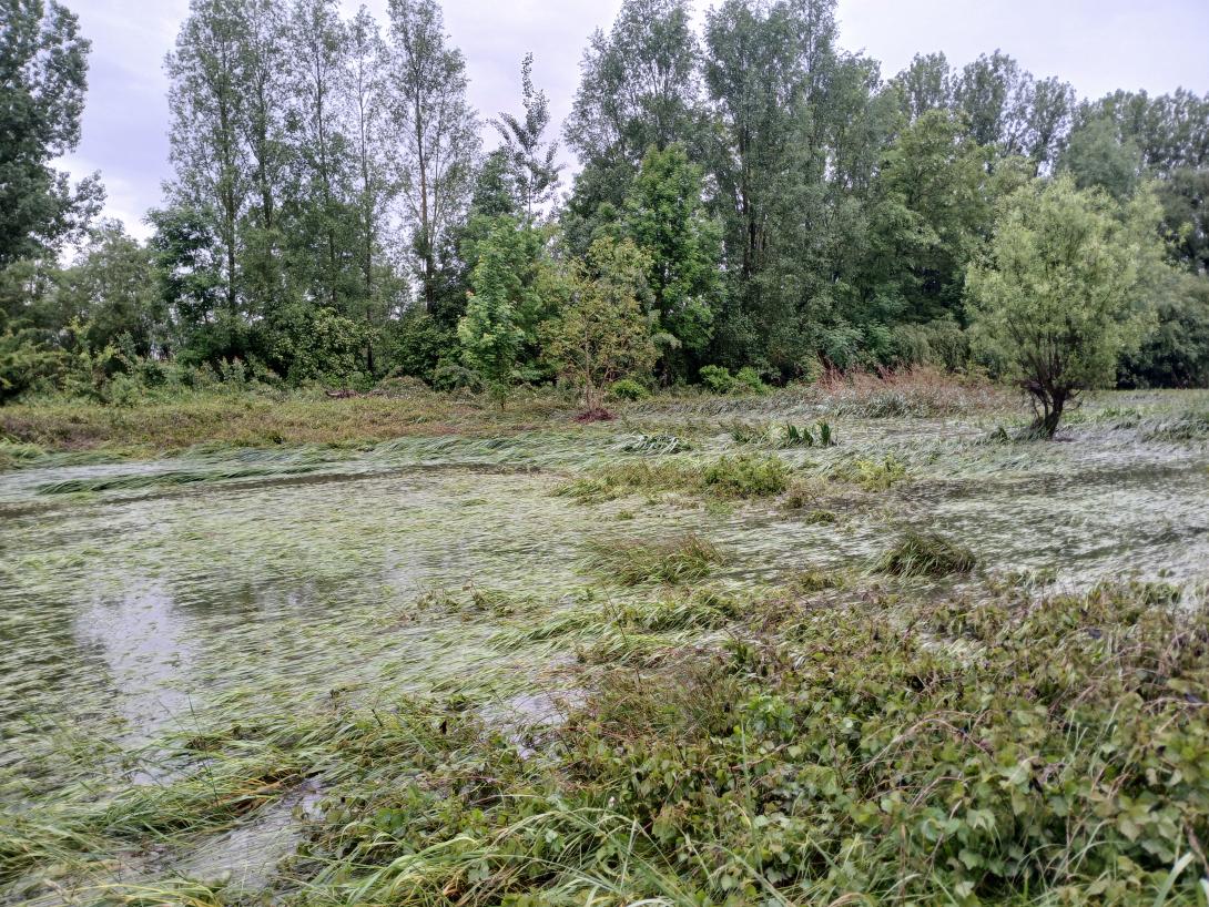
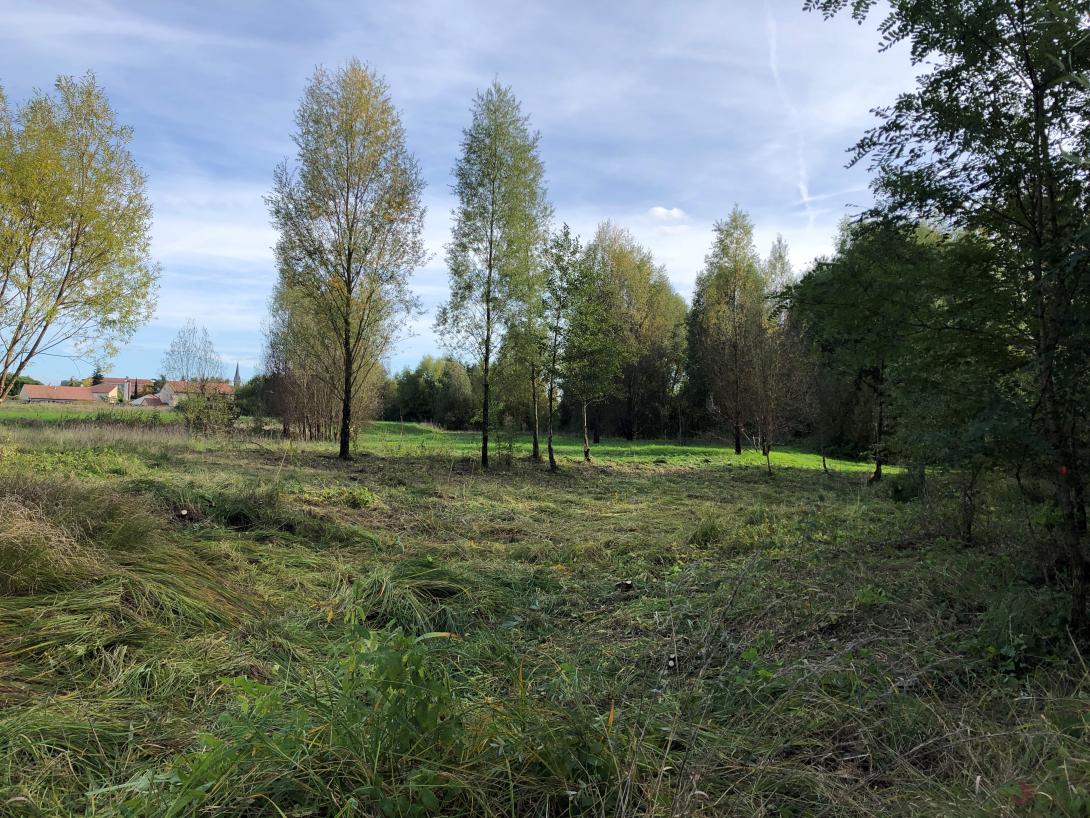
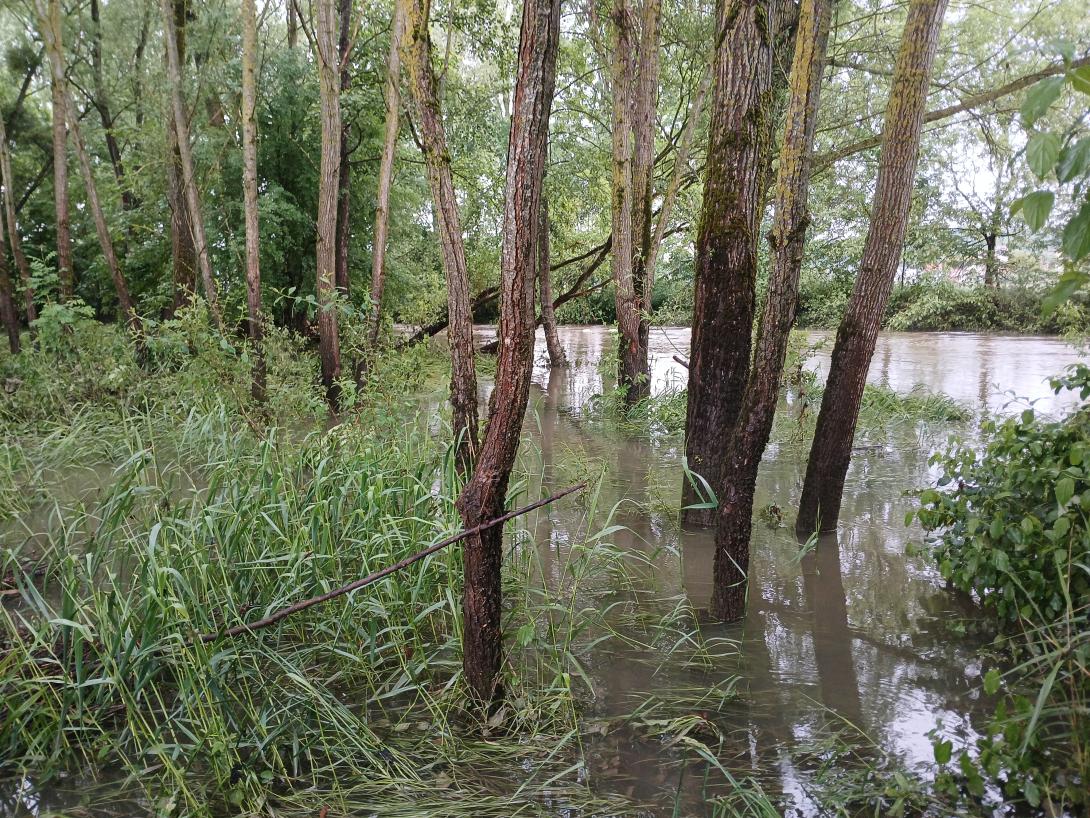
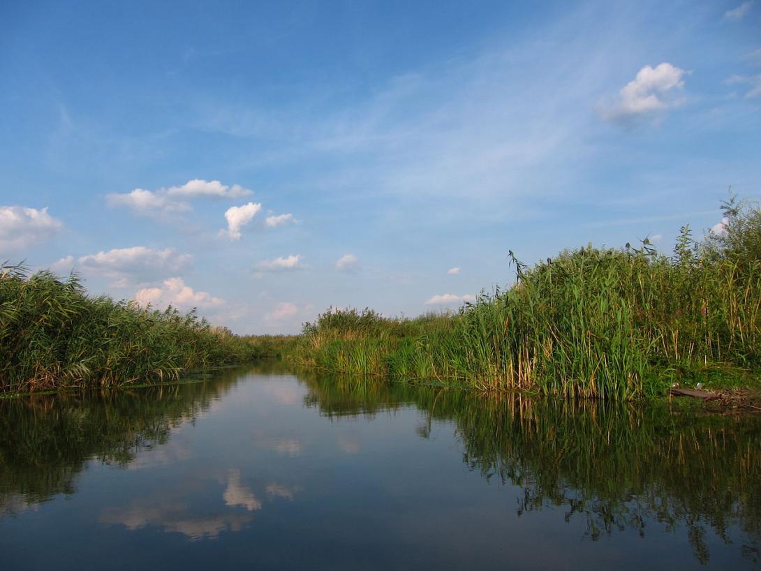
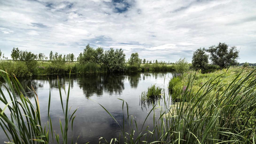
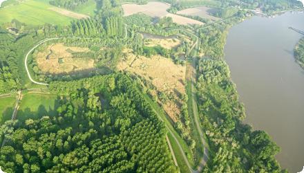
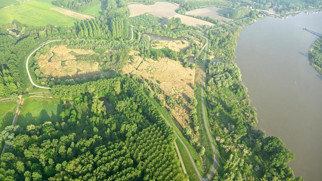
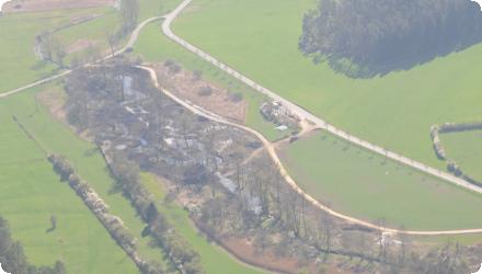
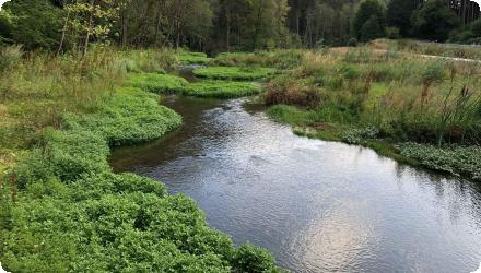
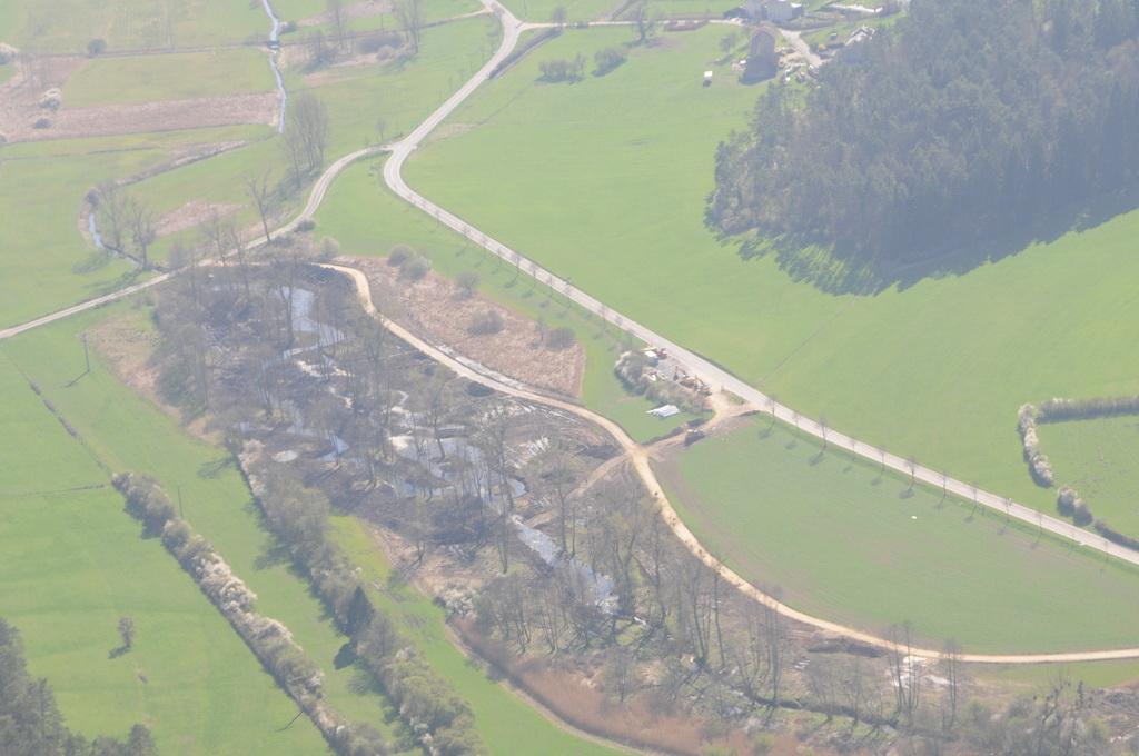
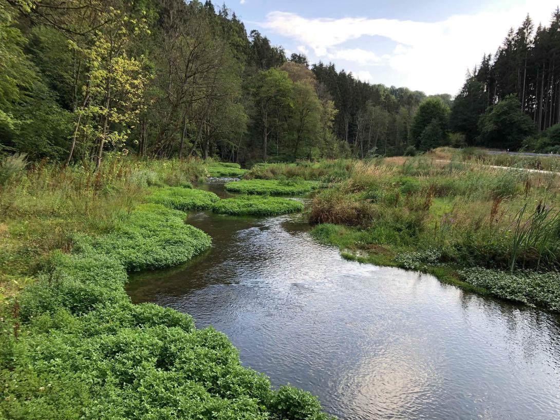
The Ernz Blanche (Luxembourg) river restoration sought to undo channelisation that had uniformised the river and increased downstream flooding. It relocated the watercourse into the thalweg, widened and/or raised the bed, re-meandered the channel, backfilled the former bed, restored adjacent streams, redesigned pipeline connections, and redeveloped areas around hydraulic structures.

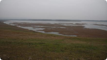
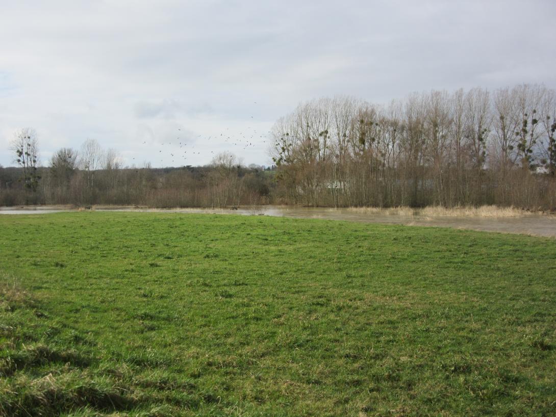
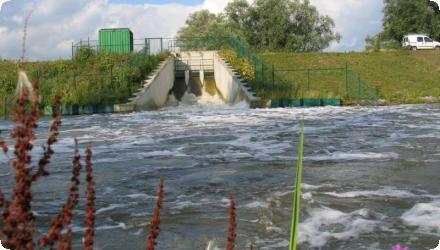
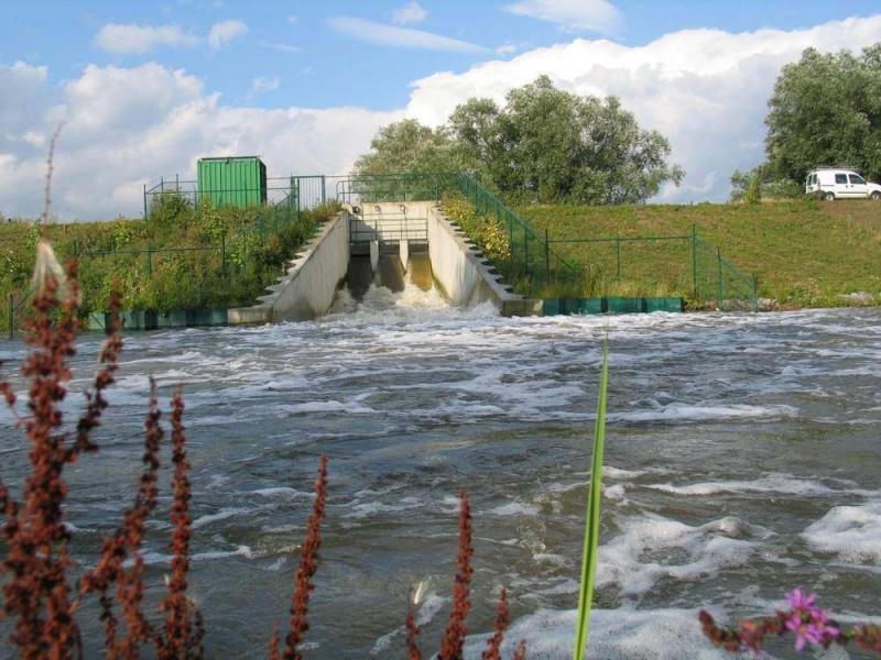
After the 2002 feasibility, major works were delivered in 2010–2011 on the Koedange–Supp reach (~5 km), reducing flood peaks at Larochette (–3.8 m³/s; –25 cm) and creating ~110,000 m³ of storage (project cost ≈ €1.52 m). In 2016, longitudinal continuity downstream at Ernzen was restored via a pool-type fish pass at Wehnschelt and a rough ramp at Milleboesch. The project area has also been tied into the PC5 cycle path and Natura 2000 management.

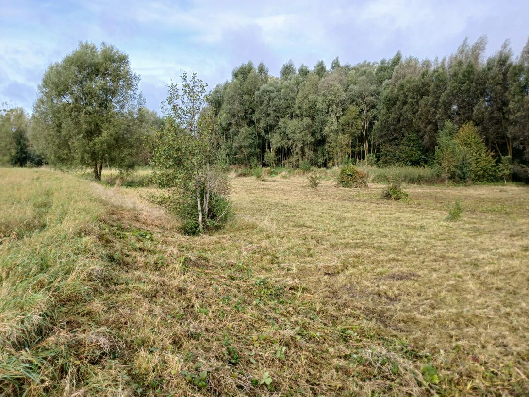
Under Luxembourg’s 2021–2027 Flood Risk Management Plan, additional riverbed restoration and space-for-river measures are listed/advancing on several reaches, incl. 417 m at Larochette; 1,102 m along CR119 at Ernzen (in implementation); 2,739 m at Altlinster; and 629 m at Medernach. Recent 2025 decisions cover local flood-protection works and targeted sediment removal in Larochette, while continuous hydrometric monitoring at station “Larochette / Ernz Blanche” supports ongoing management.
Last update
2025
Summary
The Salt of Life project (LIFE11 NAT/BG/000362) restored the lagoon’s water-management infrastructure at Atanasovsko Lake by repairing dykes and barriers, dredging 23 km of the perimeter channel and rehabilitating 20.5 km of embankments to secure long-term habitat conditions for roosting and breeding birds. Building on this, Lagoon of LIFE (LIFE17 NAT/BG/000558, 2018–2024) scaled up restoration: three major earth dikes (~5.8 km) were rebuilt, 17.6 km of mini-dikes restored and 14.3 km of internal saline channels cleaned; the North sea sluice was repaired in 2021. These actions increased water exchange more than fourfold, stabilised water levels and salinity, improved oxygen, and reduced chlorophyll-a - directly improving ~220 ha with positive effects across >700 ha. A pilot, low-impact method using a mini-excavator to build/maintain mini-dikes reduced cost, time and disturbance and has been widely applied. Macrophyte recovery advanced with Ruppia maritima transplanted (TERFS/Chimove), establishing three self-reproducing colonies. In 2024, Greater Flamingo bred here for the first time in Bulgaria. An After-LIFE plan and an active Public Advisory Council support ongoing maintenance with Black Sea Salinas, strengthening resilience to extreme rainfall and safeguarding salt-extraction infrastructure and lagoon habitats.
Last update
2025
Summary
Along the Ill between Colmar and Strasbourg, a basin-wide programme combines classical flood protection (dykes, optimisation/automation of barrages) with NWRM (riparian forest restoration, oxbow reconnections, stream re-naturalisation) to lower flood peaks, increase storage, curb erosion and enhance biodiversity. Initiated by the former Alsace Region, delivery today is ensured by the mixed association now called “Rivières de Haute-Alsace” (created in 2017; name adopted in 2020). The 2014–2024 Ill management scheme (~€19 m) included major works at Erstein’s Steinsau barrage: full refurbishment with a fish pass equipped for video-counting and six fish-friendly Archimedean screws for hydropower; Steinsau and nearby Boeschey are presented locally as multi-functional (flood safety, ecology, leisure, energy). The strategic framework continues in cycle-2 planning: the 2022–2027 Flood Risk Management Plan for Rhin-Meuse keeps priority on risk reduction, nature-based retention and space for rivers, while the SAGE “Ill–Nappe–Rhin” remains the operational reference (CLE renewed by prefectural order on 16 May 2024). Natura 2000 objectives in the Grand Ried also support reconnection and management of side arms to sustain floodplain habitats and functions.
Last update
2025
Summary
Gerai (Balta Geraiului), a Danube floodplain between Gârcov and Islaz, was restored under the LIFE+ “Green Borders” project. Works completed in 2011 reinstated the hydrological regime on about 1,000 ha to secure breeding water levels and open-water patches for Ferruginous Duck (Aythya nyroca) and Pygmy Cormorant (Microcarbo pygmaeus). Since then, the area has gained stronger protection and outreach: on 13 June 2012 it was designated as part of the Olt–Danube Confluence Ramsar Site (46,623 ha), and in June 2013 WWF, APM Olt and local communities opened a visitor observation point at Gerai. Governance has also been updated: in May 2023 Romania approved the official management plan for the Natura 2000 sites ROSPA0024 “Olt–Danube Confluence” and ROSCI0044 “Corabia–Turnu Măgurele”, which cover the Gerai area. Recent pressures include recurring reed/grass fires; in August 2022, over 600 ha around Islaz in the “Teleorman Delta”, including Balta Geraiului, burned. Overall, the project’s hydrological reconnection and bird-habitat aims remain relevant, now framed by Ramsar and Natura 2000 planning, while fire management is an ongoing challenge.
Last update
2025
Summary
Restoration of the length of the Borova stream, increased by 6.3 km a shallow meandering stream bed, where sections of speedily running water alternated with sections of a slow stream were created, financed by the Ministry of Environment of Czech Republic.
Today this project is still relevant and effective, although it would need reconstruction in places.
Last update
2025
Summary
The national Landscape Revitalisation and Integrated River Basin Management Program (2010) aimed to curb ecosystem degradation and flood/drought risk by retaining rain where it falls, especially in damaged parts of the landscape. It deployed many small water-retention elements across 488 municipalities, restoring landscape storage via basins, ponds and similar measures. Early phases created ~7,700 seasonal jobs with about €43 million invested; the programme was adopted by Government Resolution 744/2010.
Following a change of government in 2012, the national programme was wound down; only ~4% of planned funds were disbursed and monitoring was not established in time. Yet many structures remained in place. In the Košice region alone, ~250,000 m³ of green/retention works were completed in 2010–2012, and the approach continues there under a region-wide Restoration Programme approved in 2021 with a 2021–2030 horizon. The Ministry of Agriculture is also preparing a ‘Climate Fund for Soil’ to support such measures.
Last update
2025
Summary
The 75 km-long Vezouze river regulary overflows, leading to increasingly violent floods especially in the urbanized sector of Lunéville, worsen by the degradation of the natural river bed upstream. After the violent 1983, 1998 and 2004 floods, the local municipalities launched restoration work to reduce the impacts of future floods. It involved widening parts of the riverbed by leveling a levee on the left bank. Two one-meter-wide flood channels were excavated over six hectares, creating 60,000 m³ of cleared material. Wetland habitats like ponds and side channels were established, with trees and helophytes planted.
Last update
2025
Summary
The main objective of the project is to conserve the biodiversity, the natural habitats, the wild species of flora and fauna and to assure an efficient management of protected natural areas, in particular, management of the ecological network Natura 2000 through reconstruction of Comana Wetland within Giurgiu County.
Comana Wetland restoration (2009–2011) in Comana Natural Park (Giurgiu County) built a small dam with sluice on the Neajlov and a fish pass, raised and stabilised water levels (~490 ha), set up ecological monitoring and visitor infrastructure, and supported Natura 2000 management and biodiversity gains. Since then, management has been updated: the park’s management plan was approved by ministerial order in May 2022. Navigation on Balta Comana/“Neajlov Delta” is now regulated (county regulation in 2022 and a national order in Feb 2024). The county also initiated a concept for a second restoration phase (“REBACO 2”, 2021) and launched feasibility/design steps. Recent monitoring and studies include a 2021 water-quality survey and analyses of ichthyofauna dynamics. In 2024, an exceptional drought led to near-complete drying of Balta Comana with short-term ecological and tourism impacts reported; local environmental press noted a return of water after autumn–winter rains in January 2025. These developments underline the need for continued maintenance of hydraulic works and adaptive, drought-resilient management.
Last update
2025
Summary
Leidsche Rijn is no longer only “under development”: the VINEX new town has largely been delivered (c. 1997–2025; ~30,000 homes). The original ambition was to retain stormwater on site, minimise imports of poor-quality water, and use extensive SuDS. It has been realised as a near-closed urban water system. Rainwater is stored and infiltrated via wadis/bioswales, canals and ponds; the Haarrijnseplas functions as the seasonal buffer and as a public bathing lake. The system is actively managed by water authority HDSR through circulation and level control with large pumping stations (e.g., Vleuterweide and Terwijde; Vleuterweide’s two pumps move ~107 m³/min). Utrecht has tightened rainwater policy, prioritising reuse → retention/infiltration → discharge and incentivising disconnection from sewers. Routine monitoring now covers wadi performance (annual coring for 10–15 pollutants and renewal of the top layer when saturated); vertical sand/reed filters are used to polish water before inflow to Haarrijnseplas. Recreation and ecology remain integral, with recent seasons reporting good bathing-water status.
Last update
2025
Summary
The Lippenbroek project, launched in 2006 in Hamme (Belgium) as part of the Sigma Plan, implements an innovative sponge measure that combines flood protection with ecological restoration through a Controlled Reduced Tide (CRT) system. Established on a former 10-hectare polder, the site receives tidal water through regulated culverts, recreating an intertidal environment favorable to freshwater wetland habitats. The objectives were to store floodwaters, restore estuarine habitats, and test the CRT concept for future applications. The results have been highly positive: improved water quality, rapid vegetation development, increased biodiversity, and natural morphological evolution. The site’s success makes it a model for estuarine restoration in the Scheldt estuary.
In 2025, it remains very relevant as a demonstrator site, and still is a research area.
Last update
2025