Content
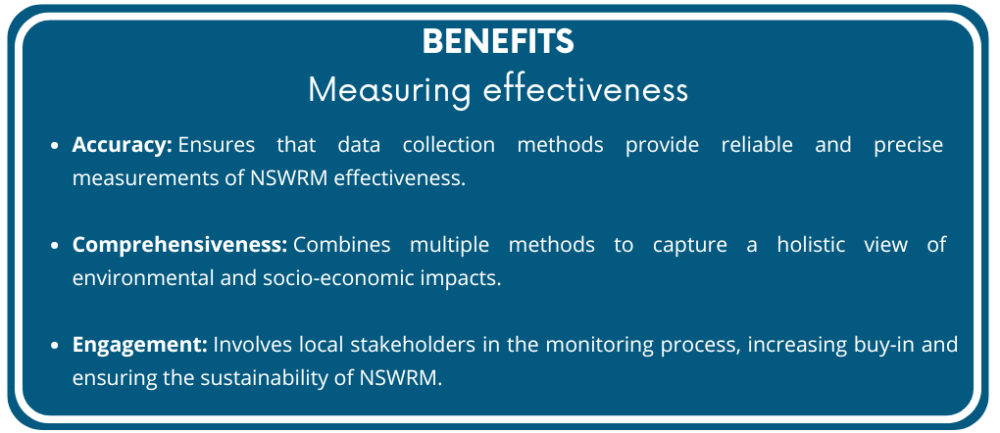
Measuring the effectiveness of Natural Small Water Retention Measures (NSWRM) requires robust and reliable methods to ensure accurate and meaningful data collection. These methods involve a combination of field measurements, remote sensing technologies, and participatory approaches to gather comprehensive data on the performance of implemented measures. Effective measurement methods are crucial for evaluating the impact of NSWRM on environmental and socio-economic indicators and for making informed decisions about future implementations.
Key Methods:
-
Field Measurements:
- Description: Direct collection of data from the field to assess various environmental indicators.
- Techniques:
- Soil Moisture Sensors: Measure soil moisture levels to evaluate water retention capacity.
- Water Quality Testing Kits: Analyze water samples for nutrient levels, turbidity, and contaminants.
- Erosion Pins and Traps: Monitor soil erosion rates and sediment deposition.
- Application: Regularly deploy sensors and testing kits at designated sites to collect data over time.
-
Remote Sensing:
- Description: Use of satellite imagery and aerial photography to monitor large-scale environmental changes.
- Techniques:
- Satellite Imagery: Capture high-resolution images to assess land cover changes, vegetation health, and water bodies.
- Drones: Provide detailed aerial views for monitoring specific areas and capturing real-time data.
- NDVI (Normalized Difference Vegetation Index): Analyze vegetation health and biomass production using satellite data.
- Application: Periodically analyze remote sensing data to detect changes and trends in the landscape.
-
Participatory Approaches:
- Description: Involve local stakeholders in data collection and monitoring to leverage their knowledge and increase community engagement.
- Techniques:
- Community Surveys: Collect qualitative data on socio-economic impacts, community well-being, and stakeholder perceptions.
- Participatory Mapping: Engage local communities in mapping key features and changes in the landscape.
- Citizen Science: Encourage community members to contribute to data collection through simple, accessible methods.
- Application: Train local stakeholders to conduct surveys and mapping exercises, ensuring regular and accurate data collection.
-
Data Analysis and Integration:
- Description: Analyze collected data to draw meaningful conclusions about the effectiveness of NSWRM.
- Techniques:
- Statistical Analysis: Use statistical tools to identify patterns, correlations, and trends in the data.
- GIS (Geographic Information Systems): Integrate spatial data to visualize changes and impacts across the landscape.
- Modeling Software: Utilize software like SWAT+ to simulate and predict the long-term impacts of NSWRM.
- Application: Regularly analyze data to assess progress, identify areas for improvement, and inform decision-making.
By employing a combination of field measurements, remote sensing, participatory approaches, and robust data analysis techniques, stakeholders can effectively measure the performance of NSWRM. This comprehensive approach provides the necessary data to evaluate the impact of the measures, make informed adjustments, and demonstrate their value to funders and community members.