Content
Scenario exploration tools allow structured analysis of alternative future conditions within the modelling–optimisation framework.
Scenarios may vary in:
-
Climate inputs (based on regional climate projections)
-
Spatial distribution of measures
-
Combinations of structural and management measures
-
Objective weighting within optimisation
Through systematic scenario comparison, the framework evaluates:
-
Sensitivity of performance indicators to climatic variability
-
Robustness of Pareto-optimal portfolios under projected climate change
-
Stability of trade-off structures across regions
Scenario exploration reveals that portfolio efficiency is highly context-dependent. Differences in soil properties, topography, precipitation regimes and agricultural systems influence predicted performance patterns.
All scenario outcomes represent model-derived predictions, ensuring analytical transparency and consistency across Boreal, Continental and Pannonian case studies.
Key Features
-
Simulation of Different Scenarios: Users can simulate various NSWRM implementations under different climatic and environmental conditions to see potential outcomes.
-
Impact Evaluation: The tools evaluate the impacts of different measures on water retention, quality, soil health, and biodiversity.
-
Visualization Tools: Graphs, maps, and other visualization tools help stakeholders understand complex data and outcomes more easily.
-
User-Friendly Interface: Designed to be accessible for both technical experts and non-experts, ensuring broad usability.
Examples of Scenario Exploration Tools
-
SWAT+ (Soil and Water Assessment Tool): This tool models the impact of land management practices on water, sediment, and agricultural chemical yields in complex watersheds. It allows users to simulate different NSWRM scenarios to predict their effectiveness.
-
Hydrological Models: These models simulate water flow and distribution within a watershed, helping to predict the outcomes of various water retention measures.
-
Geographic Information Systems (GIS): GIS tools enable the visualization of spatial data and the simulation of different land-use scenarios to assess their impact on water management.
Lessons Learned
-
Comprehensive Analysis: Successful implementation of scenario exploration tools requires a comprehensive analysis of local conditions and stakeholder input to ensure accurate simulations.
-
Continuous Improvement: Regular updates and refinements based on real-world data and feedback enhance the accuracy and usability of these tools.
-
Stakeholder Training: Providing training for stakeholders on how to use these tools effectively is essential for maximizing their benefits.
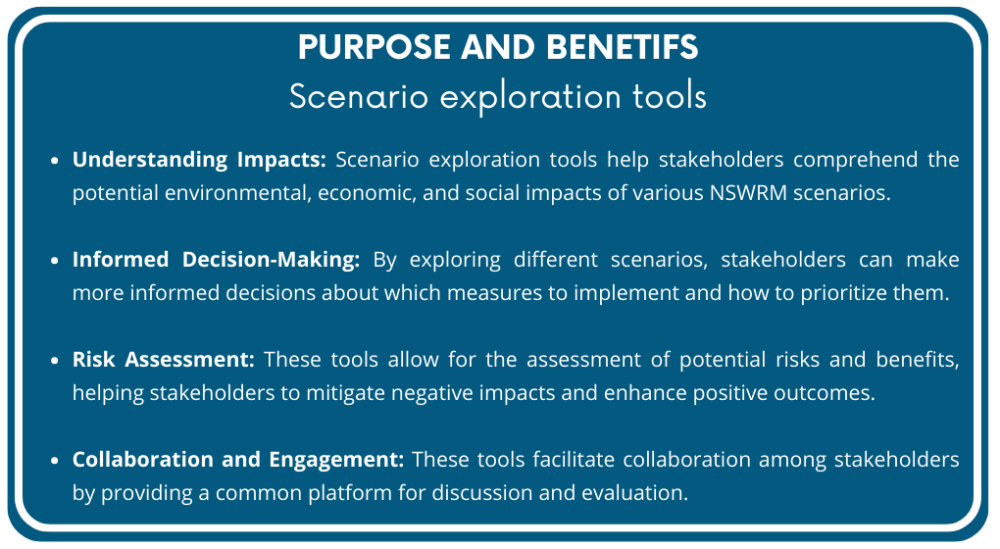
By utilizing scenario exploration tools, stakeholders can gain a deeper understanding of the potential impacts of different NSWRM, make more informed decisions, and collaboratively work towards sustainable water and nutrient management.