Led by REKK&KÖTIVIZIG
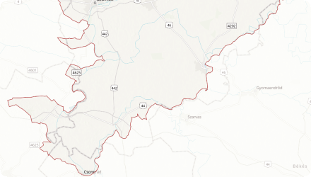
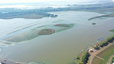

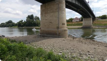
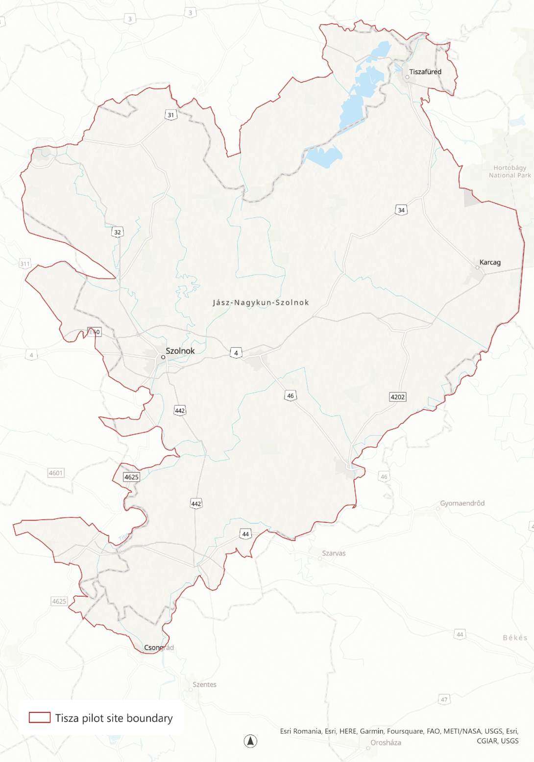
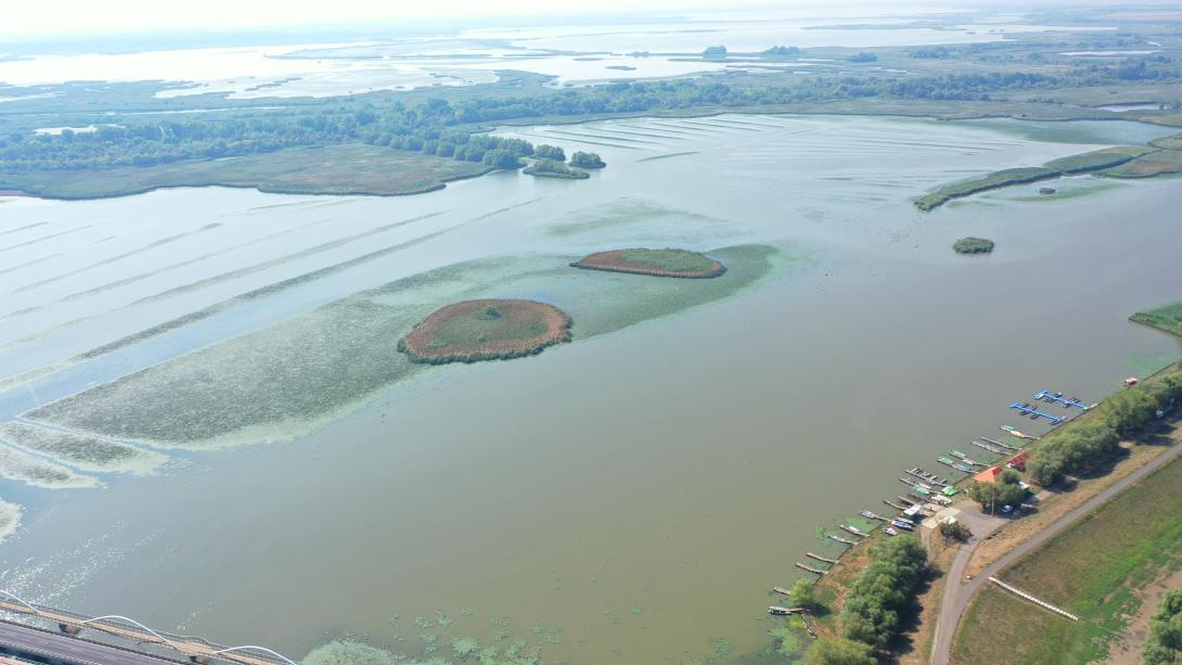
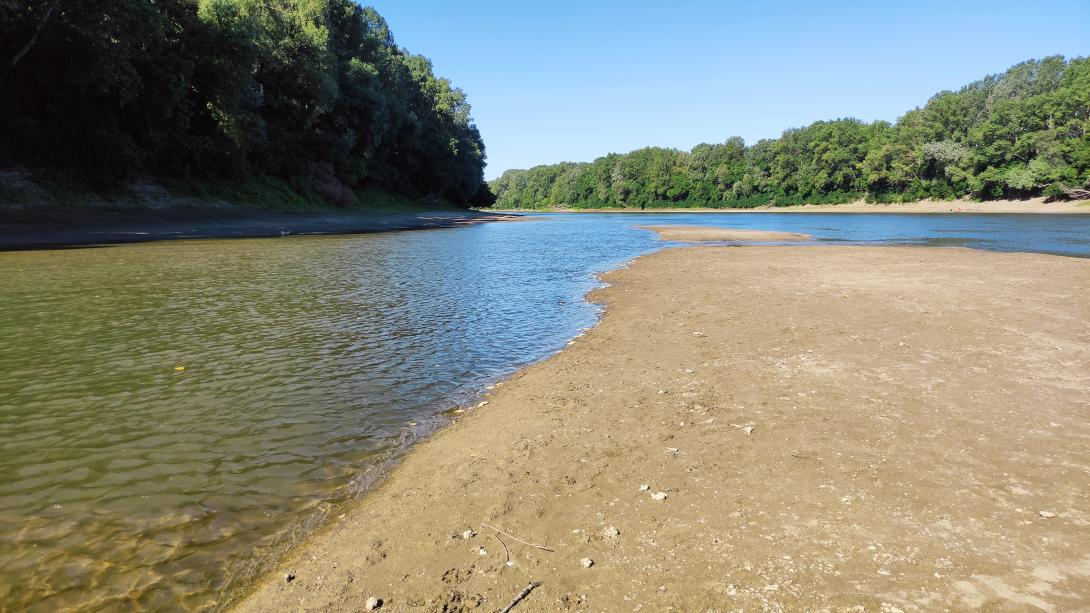

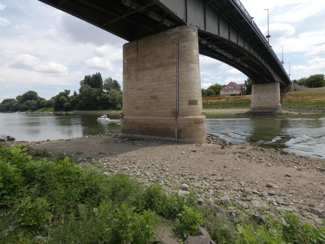
The Middle Tisza pilot site is located in the flat region of the Tisza River Basin, in the heart of the Hungarian Great Plain. The area covers approximately 2,900 km², with low elevation (80–89 meters above sea level). The Tisza River, with an average flow of 507 m³/s and significant seasonal variation, and Lake Tisza—the largest artificial surface water body in Hungary—are the main water sources. Lake Tisza operates as a reservoir with distinct summer and winter regimes. The region is rural, with settlements relying heavily on agriculture and water-related activities.
Land use: Predominantly crop agriculture, with a mix of alluvial, Chernozem, and alkaline soils.
Natural cover: Forests and natural vegetation account for less than 5% of the area.
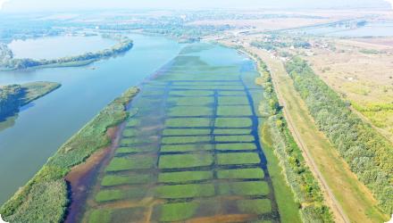
Other features: Fish ponds are economically important for some settlements.
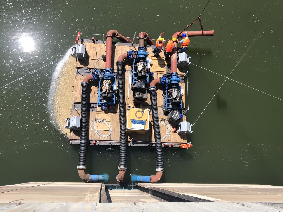
Water supply: The area receives water from Lake Tisza, managed by the local Water Directorate (REKK & KÖTIVIZIG).
Flood management: The region is prone to both floods and droughts, with major floods in the past 25 years prompting adaptation measures. However, droughts remain a persistent and intensifying challenge.
Infrastructure: Water allocation is mainly administrative, with limited use of economic instruments or stakeholder consultation. Most water services do not achieve cost recovery.
Main Issues
Water Extremes: The region faces both seasonal floods and regular droughts, requiring adaptive management.
Resource Allocation: Increasing competition among uses—drinking water, tourism, ecology, agriculture, industry, hydropower, and micro-climate regulation—makes allocation decisions critical.
Governance: Decisions are largely administrative, lacking economic tools and broad stakeholder engagement.
Cost Recovery: Most water services are not financially sustainable.
Environmental Pressures: Low forest cover and intensive agriculture increase vulnerability to climate change and reduce ecosystem resilience.
Governance and Stakeholder Engagement
Tisza Pilot Site Community : Citizens and civil society, farmers and associations, municipalities, regional authorities, drinking water utilities, tourism sector, anglers and their association, and a hydropower plant.
Improved decision methodology: Testing a new water and landscape management approach that integrates geographic, hydrologic, land use, and economic data. This includes analyzing trade-offs among competing water uses and quantifying benefits from land use changes, enhanced water retention, and climate-resilient solutions.
Economic analysis: Assessing the complex system of competing water uses to identify opportunities for improved management.
Multi-stakeholder conflict resolution: Implementing processes to steer towards policy realization and resolve conflicts among user groups.
Digital and Economic Tools
Governance assessment: Application of the InnWater Water Governance Assessment Tool to identify gaps and support decision-making.
Stakeholder engagement: Live workshops and interviews to gather input and build consensus on water management strategies.
Policy and Infrastructure
Water retention: Developing governance solutions to facilitate water retention on farmland, a crucial measure for climate adaptation and drought resilience.
Adaptive management: Emphasis on flexible, context-specific strategies to address both floods and droughts.
Key Results and Achievements
Innovative governance methods are being piloted, integrating economic, hydrologic, and land use data for better decision-making.
Stakeholder engagement is central, with live workshops and conflict resolution processes involving all key user groups.
Water retention on farmland is a major focus, aiming to build climate resilience and reduce drought vulnerability.
Economic analysis supports more efficient and equitable water allocation.
Monitoring and evaluation ensure that lessons learned are shared and replicated beyond the pilot site.
Overall Progress
Middle Tisza is fully operational as a pilot site, with concrete achievements in governance innovation, economic analysis, and climate adaptation.
Actions and lessons from the site are informing national and European discussions on sustainable, participatory, and resilient water management, especially in regions facing water allocation and climate challenges.
While farmers recognize that improving water retention is essential in the face of an increasingly arid climate, they remain hesitant to allocate portions of their land for this purpose, such as converting it into wetlands or wet grazing areas or just use it as the set aside area to comply with the new conditionality requirement of the current CAP regulation. Their concerns highlight several key challenges, including distorted CAP incentives, a lack of cooperative traditions among farmers, and the expectation that measures benefiting both individual farmers and society at large should come with appropriate compensation.
While workshops are valuable for exchanging views and information efficiently, they do not allow for in-depth discussions on how individual farmers can take concrete steps toward enhancing water retention. Smaller, more targeted consultations - either one-on-one or in focus groups – could be useful before presenting findings to a broader audience.