Through the TOUTATIS Doorway, you have the opportunity to discover the User Communities of ePLANETe, presented in three cross-linked galleries: Profiles of People; Profiles of Partners (which may be organisations of any sort, or operational units within an organisation); and Profiles of the User Communities themselves. You also have access to the Showroom, where you can become acquainted with past and ongoing activities in and around ePLANETe, through a gallery presenting Collaborative Projects & Programmes, and by reading the current events Articles posted in the ‘NewsReel’ gallery.
Photo gallery
Summary
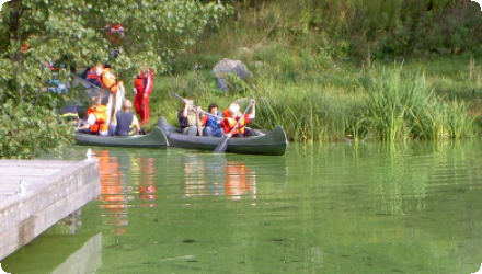
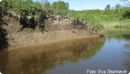
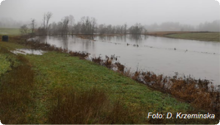
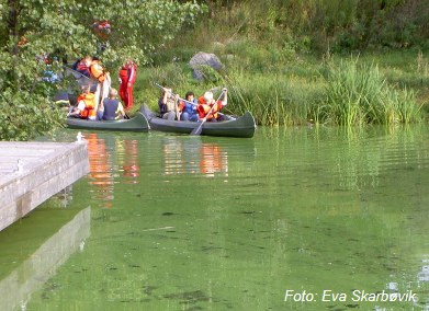
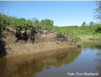
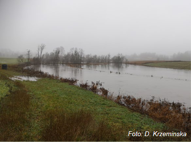
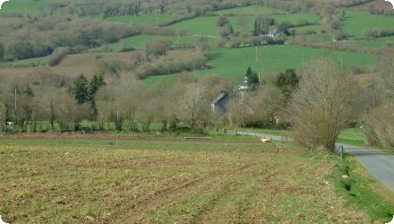
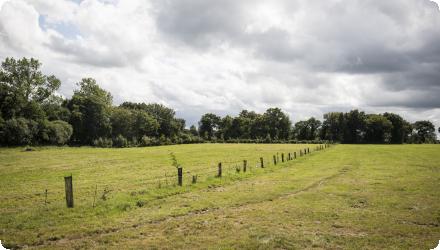
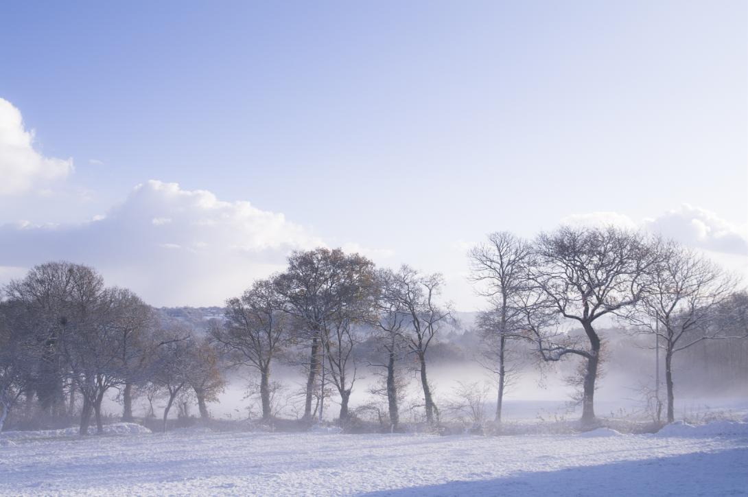
The Kråkstadelva catchment, as case study area, is located within the Hobølelva watershed, located ca. 30km S-SE of Oslo, Norway. The area of the Kråkstadelva catchment is approximately 51 km². Agricultural land covers circa 43% of the catchment (22km²) and it is dominated by cereal production. Forest covers ca. 45% of the catchment. Heavy clay soils dominate in the area (up to 80% of clay content). Mean annual temperature is 5.3°C and average annual precipitation is ca. 864 mm. Floods of varied magnitude occur frequently in the catchment, typically during spring snow melt and autumn rainstorms. The main challenge in the area is water quality (incl. high phosphorus pollution) and soil erosion (incl. riverbank erosion and quick-clay landslides). There is already high focus on environmental mitigation measures, for example reduced tillage (no tillage in autumn), buffer zones (grassed bufferzones, in addition to natural buffer zones, in cropland along streams and lakes), grass-covered water ways, constructed wetlands and the use of catch-crops.
Last update
2025
Photo gallery
Summary
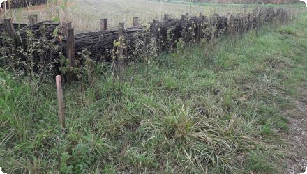
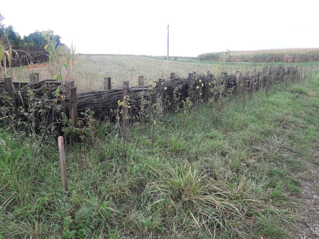
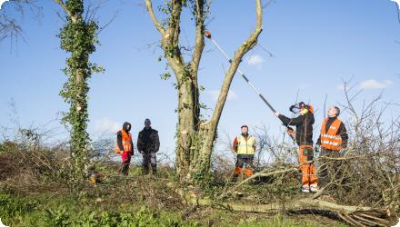
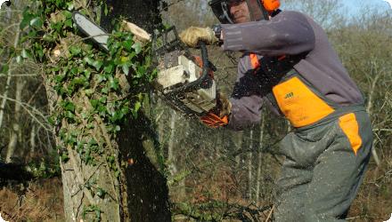
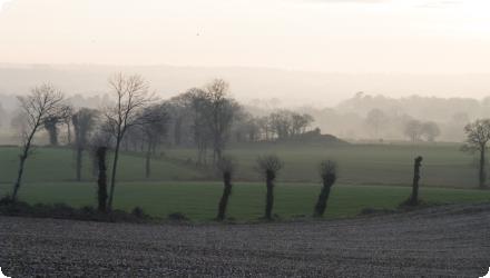
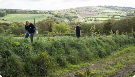
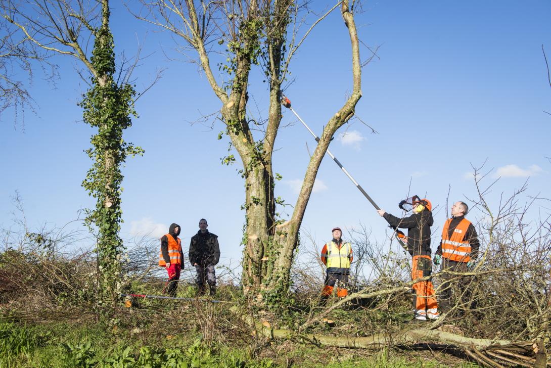
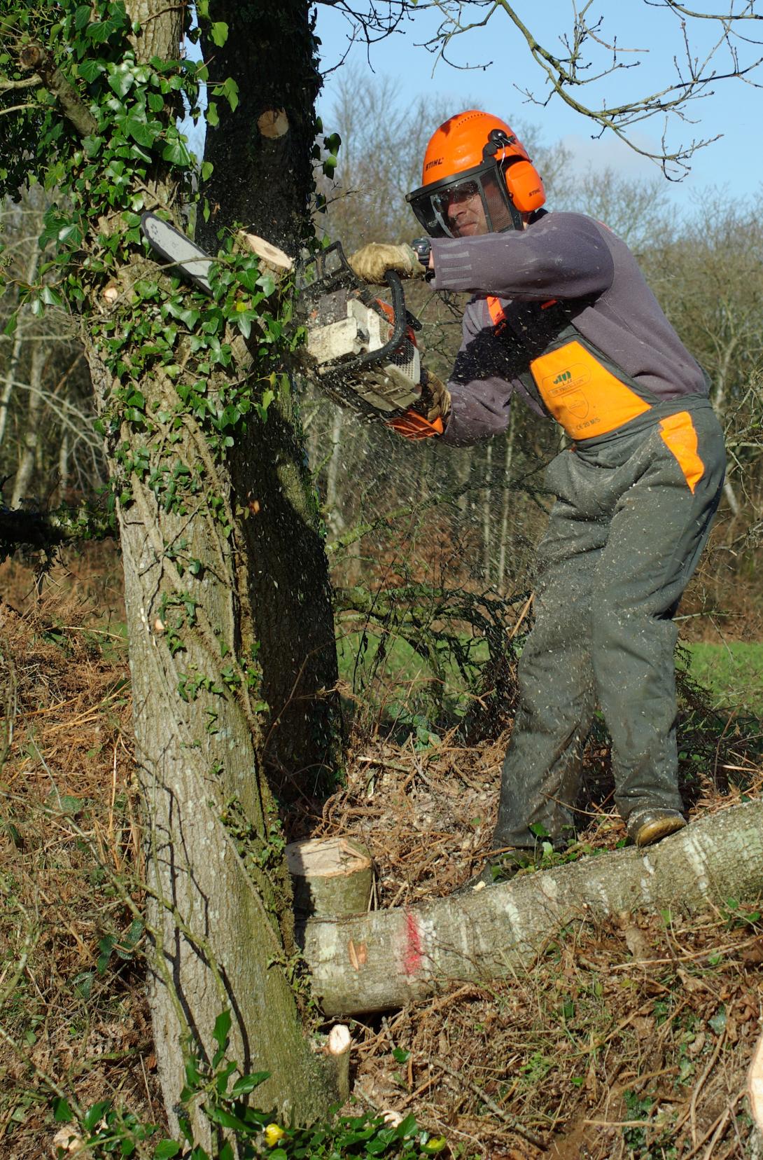
Bas-Rhin is highly exposed to muddy runoff during spring–early-summer storms, impacting villages downstream of cropped slopes. Since 2008, the Chamber of Agriculture and local authorities diagnose erosion risk at commune scale and co-design preventive measures (concerted crop rotations, a gradual shift to no-till) and curative “soft hydraulics” (dense hedges and live/dead fascines, grass or miscanthus strips), implemented by municipalities or intermunicipal bodies.
Since 2018, the Eurométropole de Strasbourg holds competence for runoff/erosion control. With BRGM, it uses the WATERSED model to rank 96 catchments across 14 at-risk communes and update priorities each year; modelled sediment reductions are typically 50–95% (and >60% for a 10-year storm once devices are in place). Implementation is formalised through 10-year contracts with farmers, with standard annual compensation per area. By 2019–2023, about 129 devices (~9.9 km) were (re)installed under 53 conventions. Recent municipal programmes combine agronomy with hedges/fascines/miscanthus and resized swales (e.g., Eckwersheim), while other communes report site-specific packages (e.g., Lampertheim: 600 m of live fascines and 200 m of grass strips). Regional guidance (DREAL Grand Est) and AERM support frame the approach at departmental/basin scales.
Since 2018, the Eurométropole de Strasbourg holds competence for runoff/erosion control. With BRGM, it uses the WATERSED model to rank 96 catchments across 14 at-risk communes and update priorities each year; modelled sediment reductions are typically 50–95% (and >60% for a 10-year storm once devices are in place). Implementation is formalised through 10-year contracts with farmers, with standard annual compensation per area. By 2019–2023, about 129 devices (~9.9 km) were (re)installed under 53 conventions. Recent municipal programmes combine agronomy with hedges/fascines/miscanthus and resized swales (e.g., Eckwersheim), while other communes report site-specific packages (e.g., Lampertheim: 600 m of live fascines and 200 m of grass strips). Regional guidance (DREAL Grand Est) and AERM support frame the approach at departmental/basin scales.
Last update
2025
Photo gallery
Summary
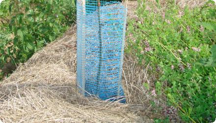
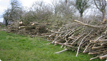
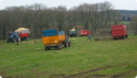
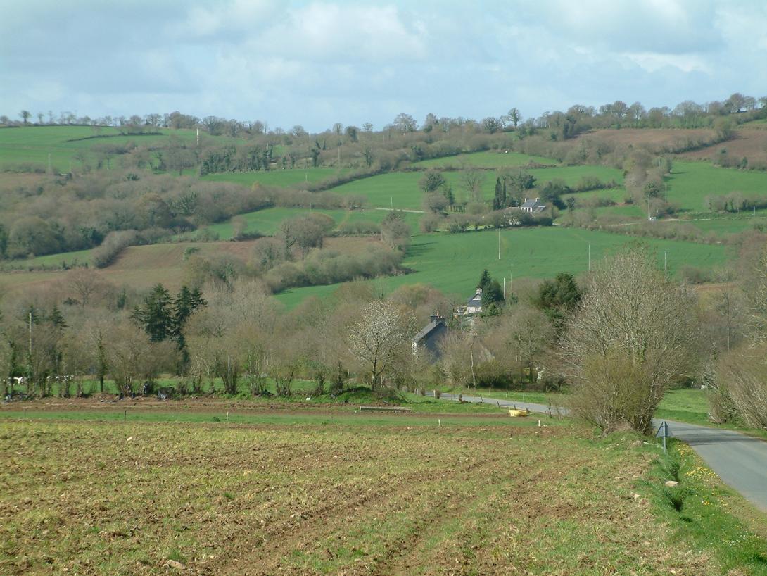
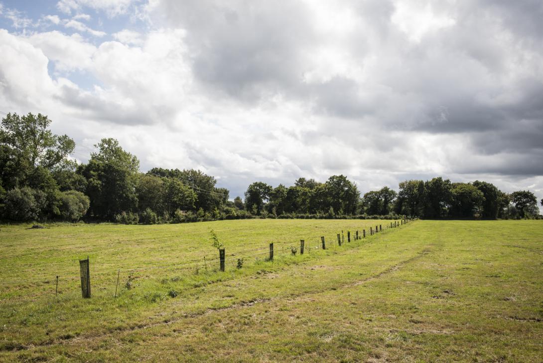
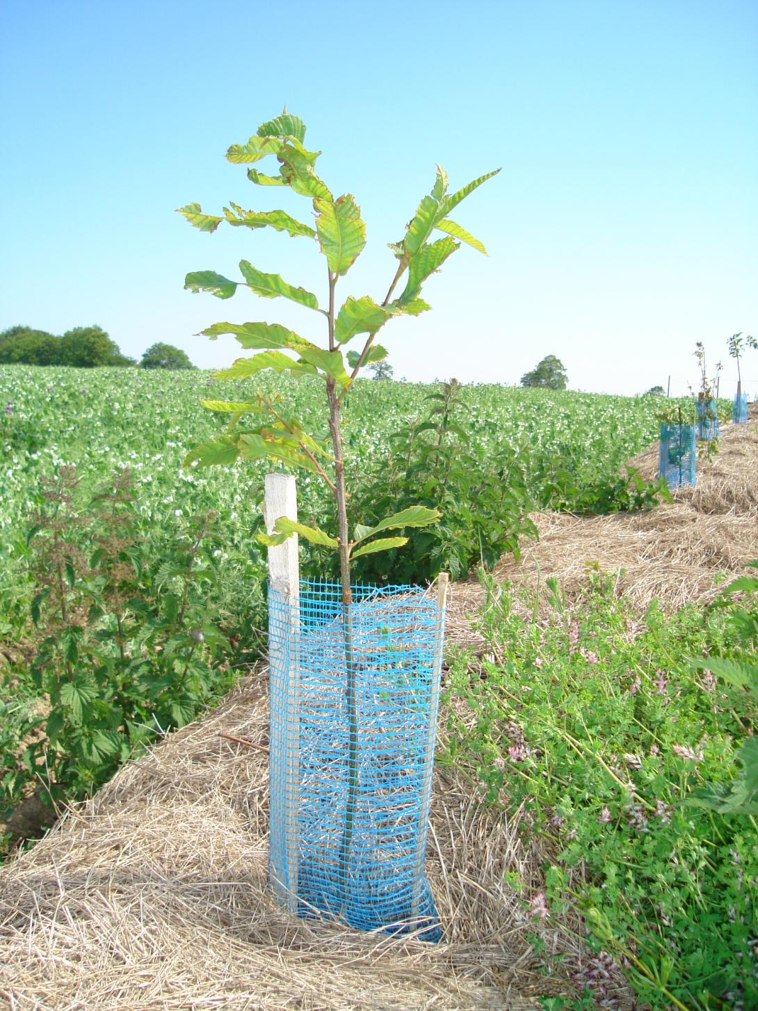
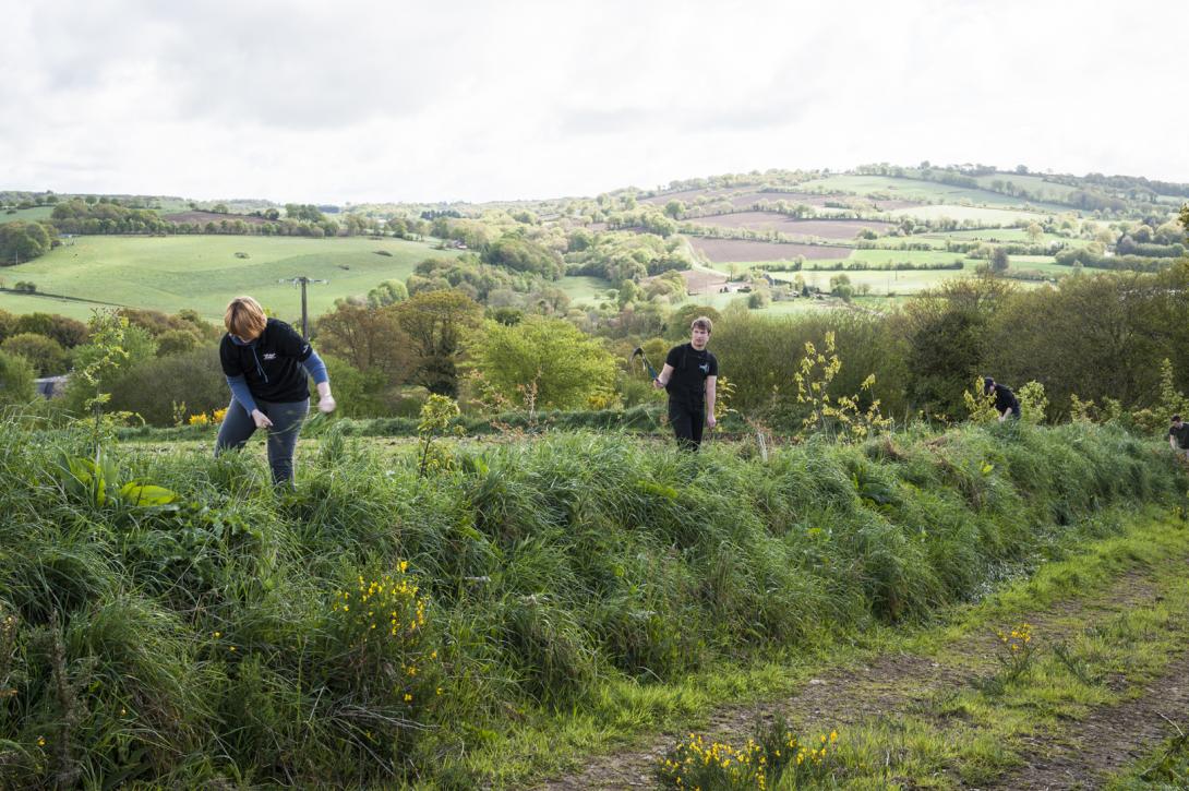
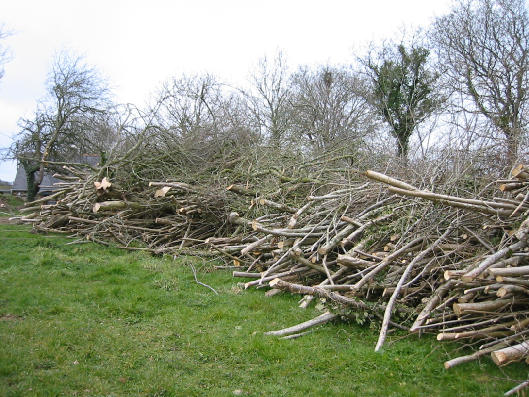
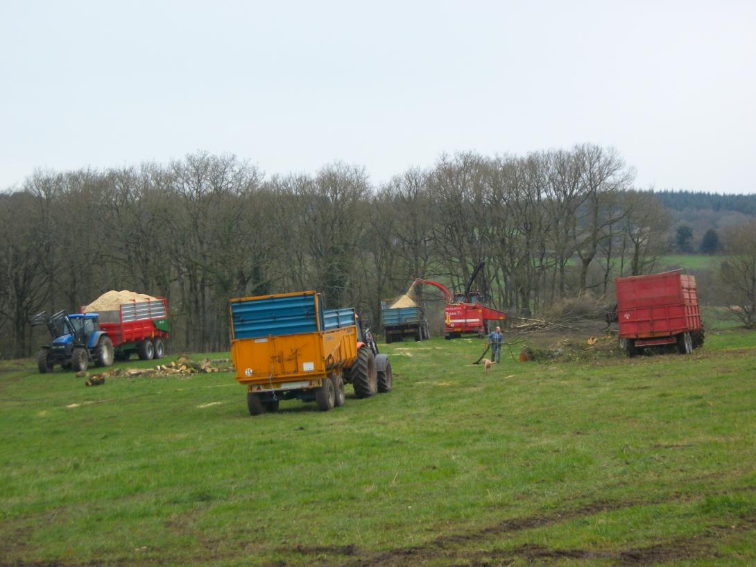
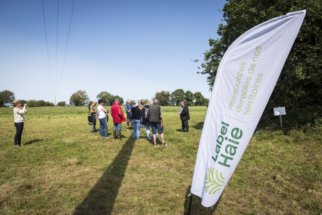
The Léguer River catchment is one of the most hedged areas in Brittany, but has suffered a decline in its hedgerow mesh as a result of agricultural mechanization and land consolidation operations. Faced with the degradation of the Leguer's water quality observed in the 1990s, elected officials in the watershed became aware of the need to preserve the hedgerow, and to consider its restoration to improve water quality. Since 1999, the Leguer's watershed committee undertook awareness-raising of the watershed population, before experimenting with the restoration of hedges and embankments in several pilot basins.
This work was then extended to the entire watershed, leading to the restoration of hundreds of kilometers of hedges and embankments. This action is still ongoing today (with new hedges planted every winter), however no longer managed at the whole basin scale but by different intermunicipalities.
It aims in particular to ensure the sustainability of existing linear thanks to urban planning tools and the promotion of hedged farmland.
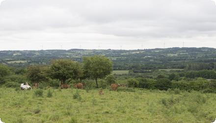
A complementary action comes with the river management (as the Léguer is labellized "Wild River"), which includes riparian forest restoration to create shade on the river and reduction of the risk of water heating, purification processes, biodiversity of the watercourse, etc.
The developpment of agroforestry and intercropping is also being studied to further the agricultural practices evolution in the basin.
This work was then extended to the entire watershed, leading to the restoration of hundreds of kilometers of hedges and embankments. This action is still ongoing today (with new hedges planted every winter), however no longer managed at the whole basin scale but by different intermunicipalities.
It aims in particular to ensure the sustainability of existing linear thanks to urban planning tools and the promotion of hedged farmland.
A complementary action comes with the river management (as the Léguer is labellized "Wild River"), which includes riparian forest restoration to create shade on the river and reduction of the risk of water heating, purification processes, biodiversity of the watercourse, etc.
The developpment of agroforestry and intercropping is also being studied to further the agricultural practices evolution in the basin.
Last update
2025
Year
consulted 02/12/2019
NWRM(s)
Case study(ies)
Source type
Website
Year
2001
NWRM(s)
Case study(ies)
Source type
Other
Year
consulted 02/12/2019
NWRM(s)
Case study(ies)
Source type
Website
Year
consulted 02/12/2019
NWRM(s)
Case study(ies)
Source type
Website
Year
2009
NWRM(s)
Case study(ies)
Source type
Other