Photo gallery
Summary
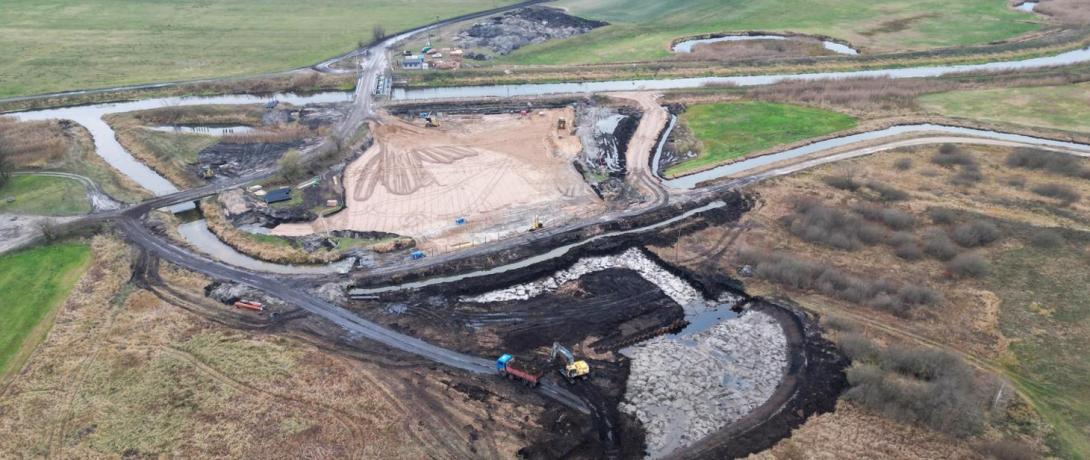
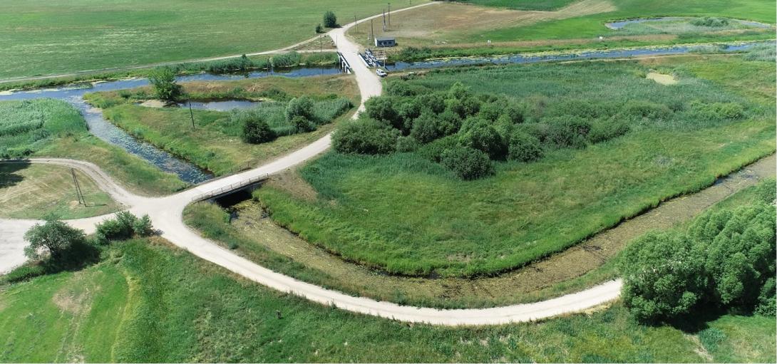
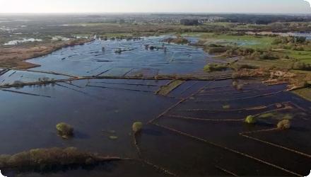
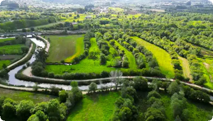
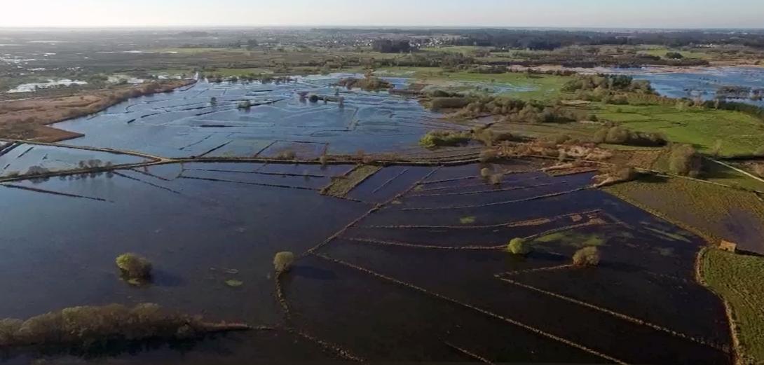
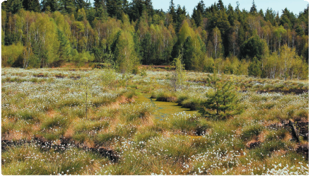
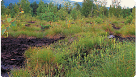
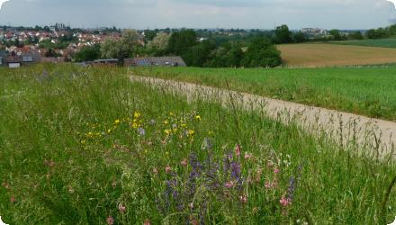
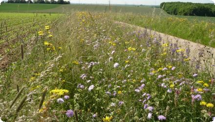
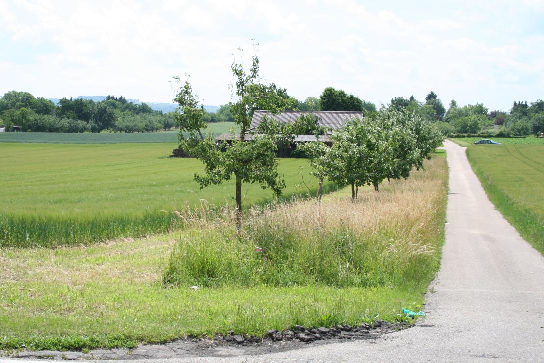
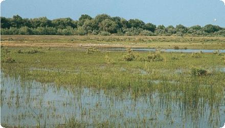
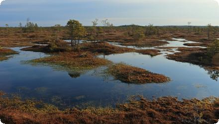
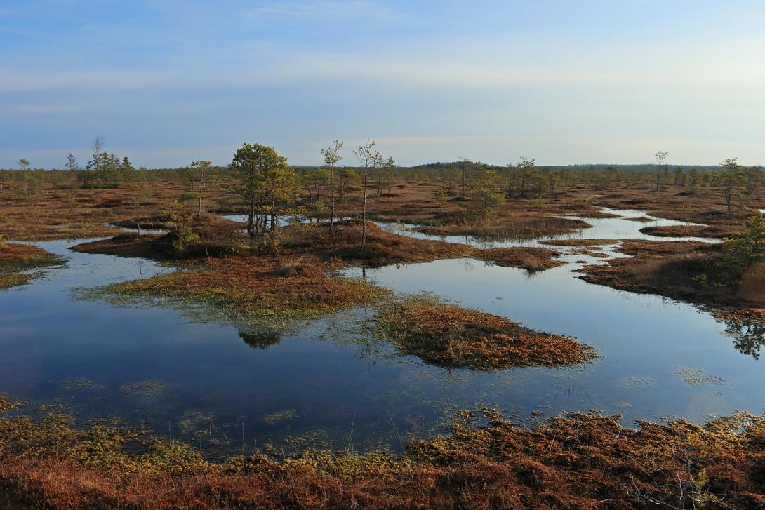
Kamanos Strict Nature Reserve is the largest raised bog (2,434 ha) in the northern Lithuania region (a farming region) with ridge–pool complexes, numerous small lakes (over 120 pools each less than 2 ha in area) and surrounding wet forests. In 65 ha of selected bogs and meadows restored with 18.5 km of ditches dammed Kamanos Strict Nature Reserve. The measures were implemented in the frame of a larger UNDP-GEF project in 2004–2010. Further hydrological restoration was carried out under the LIFE WETLIFE2 project (2014–2018), blocking 37 km of drainage ditches and improving water conditions over 670 ha. These actions supported bog habitats and species like the Aquatic Warbler. The site is now part of the eLTER network, with ongoing ecological monitoring and climate data collection.
Last update
2025