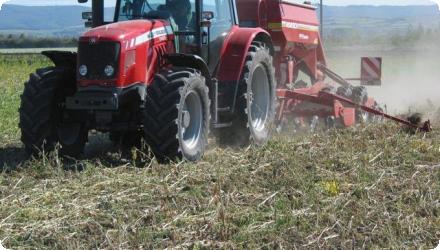
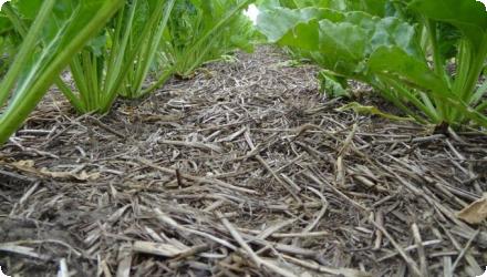
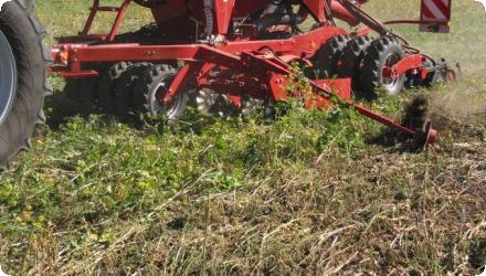
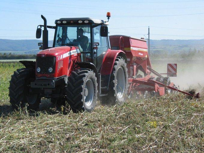
Ongoing

Diverse Habitat Reconstructions in the Őrség National Park in Hungary

Summary
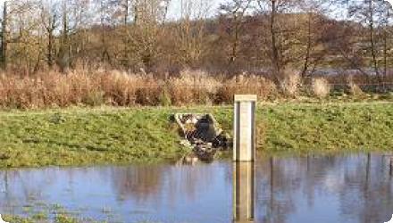
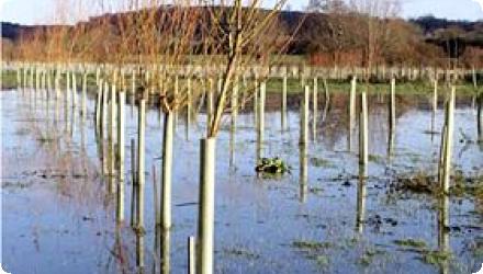
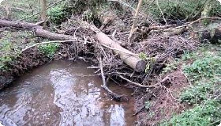
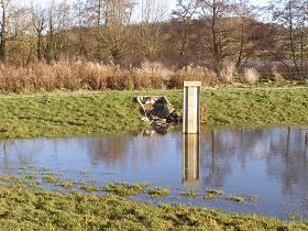
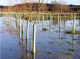
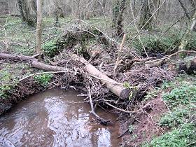
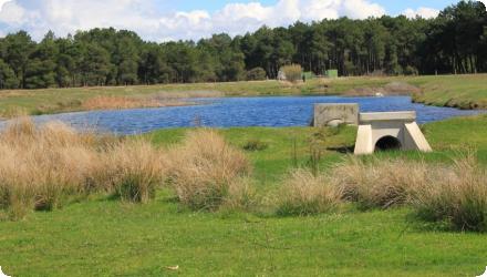
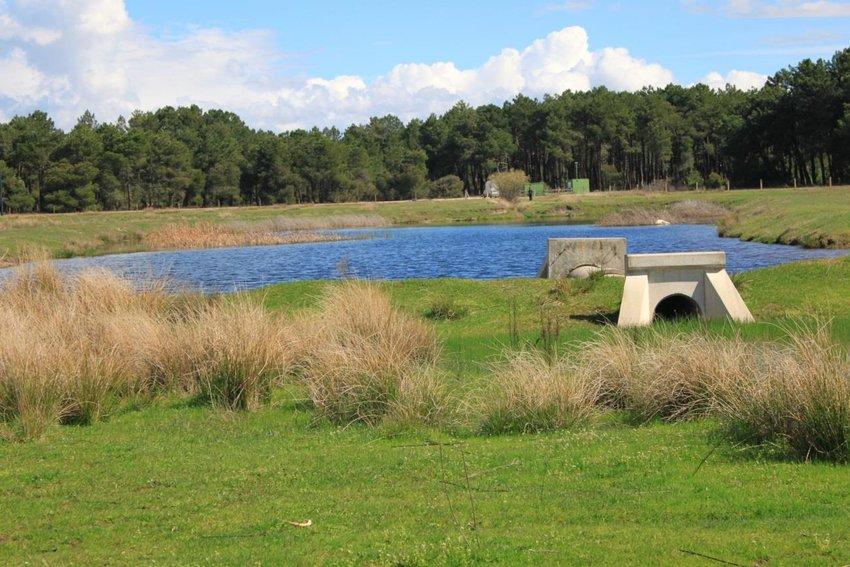
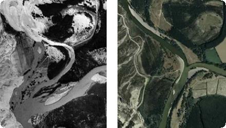
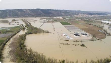
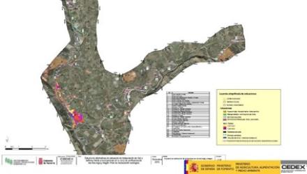
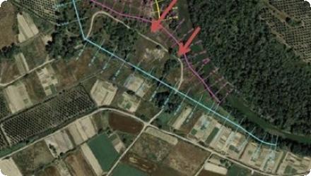
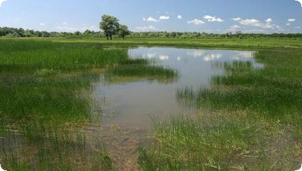
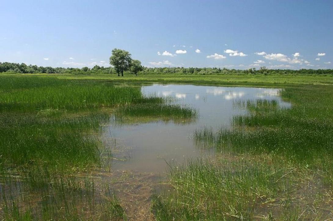
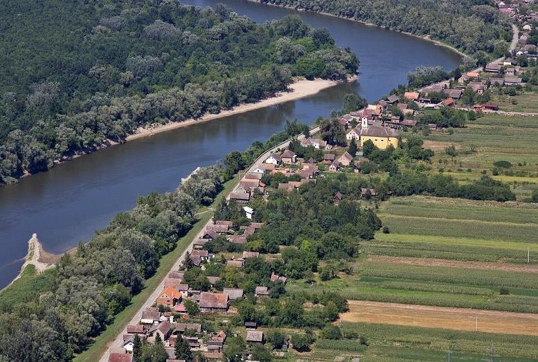
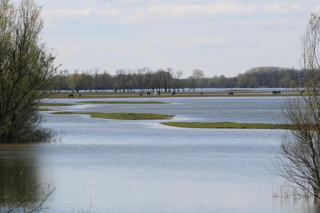
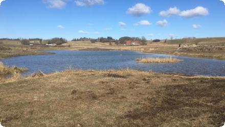
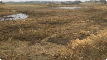
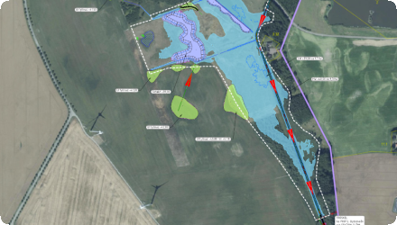
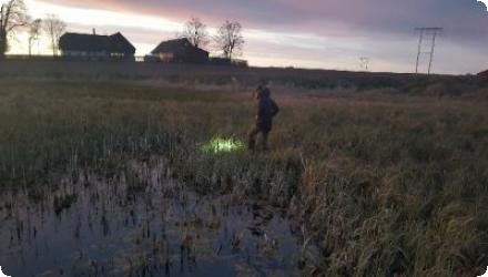
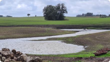
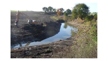
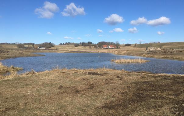
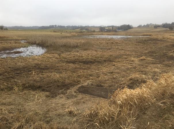
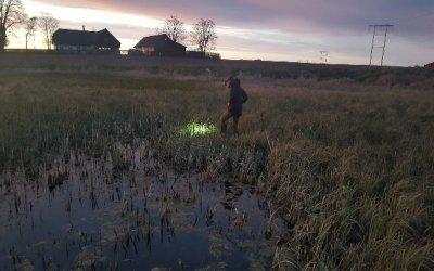
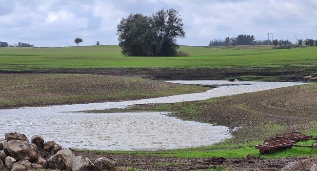
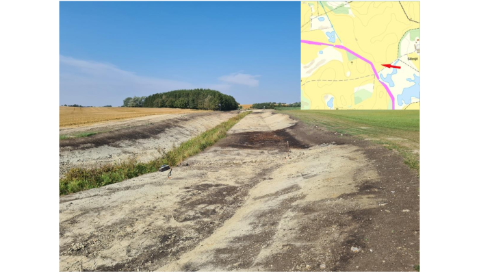
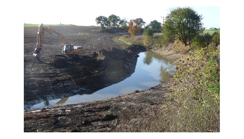
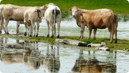
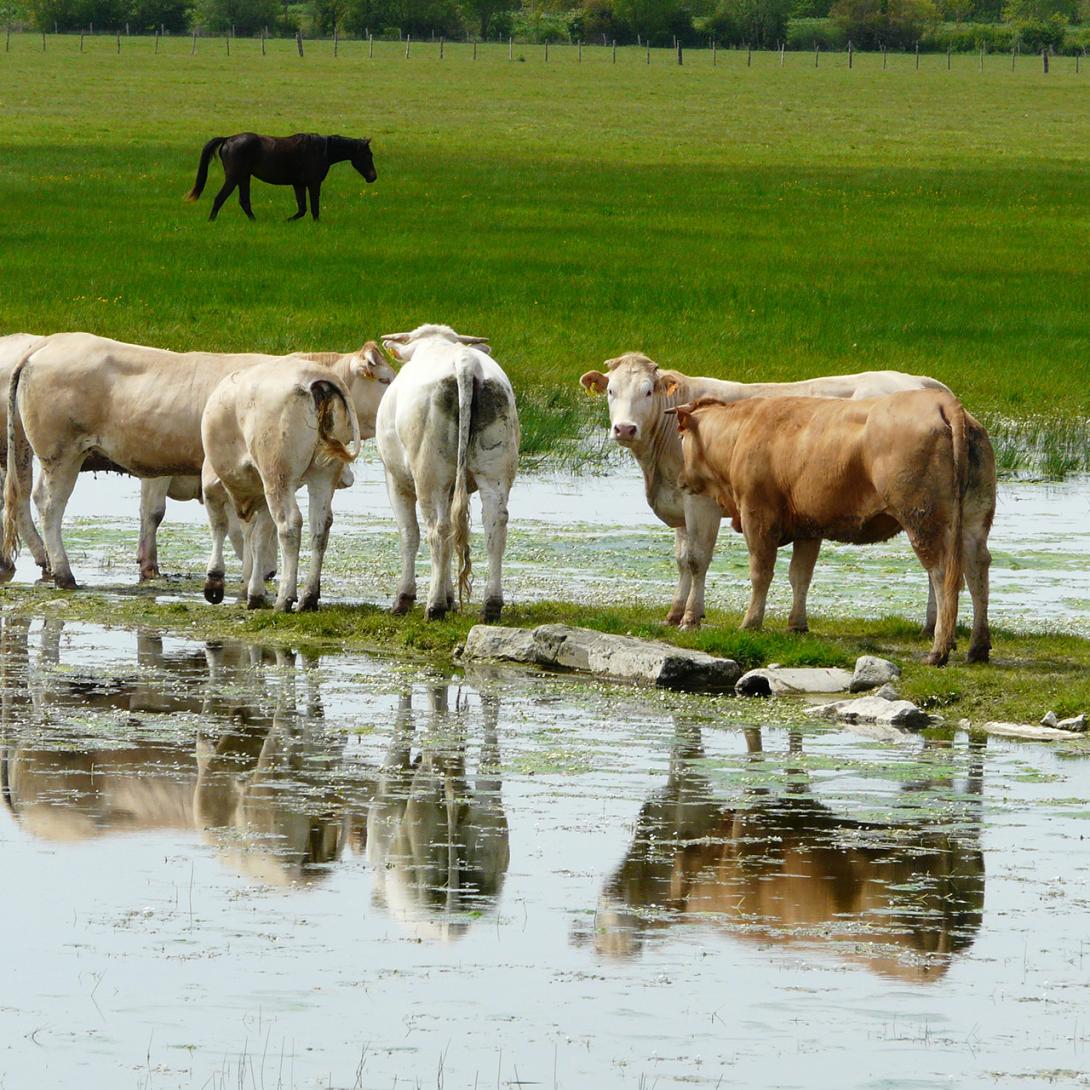
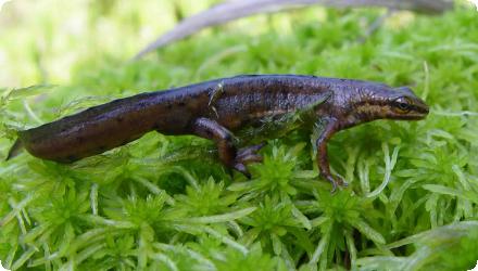
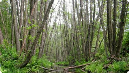
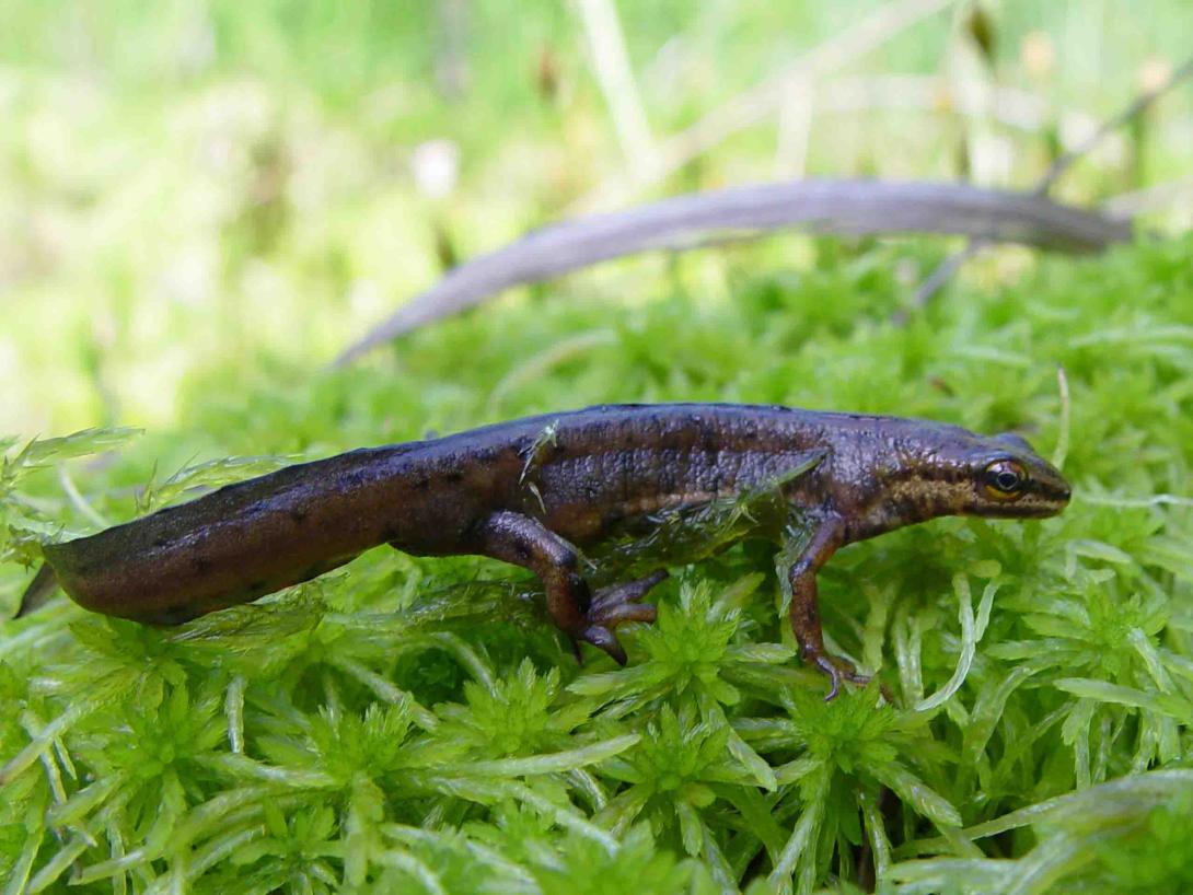
Three measures were implemented in the Őrség National Park to rehabilitate habitats, all with water retention benefits. (1) Ponds were created in forests to collect run-off from forestry roads, providing safe breeding grounds for reptiles instead of temporary roadside puddles. (2) Shelterbelts, groves and wetlands were re-vegetated on agricultural land where such landscape elements had been removed about 50 years earlier. (3) Closures were built in drainage channels to allow seasonal flooding of alder (Alnus) forests and wet meadows, enhancing habitat quality and ecological connectivity along the Csörnöc stream.

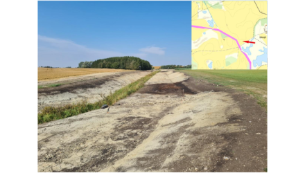
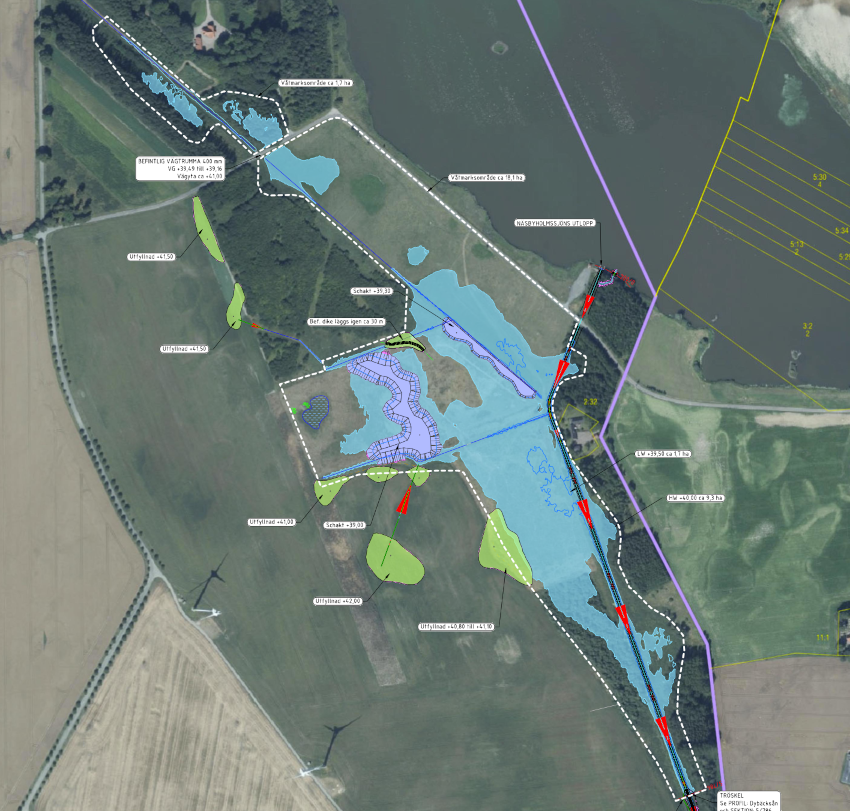
Since then, restoration efforts have expanded. The Park Directorate and partners have secured significant new funding (2025) to restore wetlands, hay meadows and riparian zones. The ongoing “Living Landscape” project (2024–2026), led by the Barn Owl Foundation with the park’s involvement, is restoring a diverse landscape mosaic along the Hungarian Green Belt. Actions include creating new wetlands and ponds, re-establishing hedgerows and tree lines, and improving landscape connectivity. Earlier, agri-environment initiatives (e.g. 2021 “Dream contract” approach) promoted small-scale, multifunctional farming and micro-habitat creation, reinforcing both biodiversity and water retention in the park’s cultural landscape.
Last update
2025

Drainage management in the city of Hradec Kralove, Czech Republic

Summary
Urban constructions carried out by JVProjektvh which include the removal or sinking of existing curbs, lowering or adjustment of the surface, transfer of storm water from the area of street inlets to decentralized devices, taking apart gutters and street inlets within green areas.
It is still included in urbanism today, and mimicked in other cities.
Last update
2025

Green roofs in Vienna, Austria

Summary
Since 2003 the city of Vienna supports financially the implementation of green roofs with 8-25 € per m². The maximum subsidy can be 2200 €. Until 2010 16000 m² roof were transformed and 150 000 € invested.
Since then in Vienna, there has been plenty of new programs and strategies for funding green roofs and facades, also de-sealing measures and framework has changed as well. Of course, greening roofs is part of the sponge city program. Therefore, in Vienna new buildings and in case of renovation and extensions, roofs of more than 12 m² are to be designed as flat roofs and intensive green according to the standard”. The obligation of green buildings in the zoning- and building plans (binding!) is regulated by Vienna Building Regulation code §5.(1+4) k), amendment 2024. Further relevant for the retention in the Vienna Building Regulation code §79.(6) amendment 2024, that areas to be landscaped (Gardens) must remain unsealed (at least 2/3) and have ground-based greenery. And Vienna Building Regulation § 99 (1): Rainwater must be drained away or fed into the natural water cycle or used in another way. Exceptions: no suitable natural conditions or economically or technically disproportionate effort.

Some of the most important strategic frameworks:
• Urban Heat Islands Strategy Vienna
• Climate Guide "Vienna is climate neutral by 2040"
• Vienna Climate Law: be passed in spring 2025. The aim of the law is to make the city climate-neutral by 2040 and is based on three central pillars: climate protection, climate adaptation, and the circular economy.

Slowing the Flow at Pickering, UK

Summary
The Slowing the Flow at Pickering project (2009–2015) set out to reduce flood peaks in Pickering, North Yorkshire, by harnessing natural processes across the Pickering Beck catchment. Key measures - four low-level earth bunds, over 160 leaky woody dams, moorland and forest drain‐blocking, riparian and farm woodland planting, sediment traps and no‐burn buffer zones - were installed to slow runoff, boost infiltration and store water temporarily.

Launched after costly floods in 1999-2007, the scheme offered a cheaper, landscape-scale alternative to hard defences. In 2015’s Boxing Day storm, none of the dozens of at-risk properties flooded, demonstrating the network’s effectiveness under extreme rainfall.

After the official end of the project in 2015, the site remained monitored. More recently, beavers have been introduced into a fenced adjacent catchment to work alongside leaky dams-early observations suggest they enhance dam stability and create richer wetland habitats. All measures remain in place, with ongoing monitoring and targeted maintenance ensuring sustained performance.

The site still has not been affected by a storm event of sufficient intensity to demonstrate the expected effectiveness of the measures to their full extent.
Last update
2025

Managed Aquifer Recharge in Los Arenales (Segovia, Spain)

Summary
Managed Aquifer Recharge (MAR) in Los Arenales, Spain, aims to address severe groundwater overexploitation through the seasonal diversion of surplus flows from the Cega and Voltoya rivers into infiltration basins and channels. Since the early 2000s, three MAR systems (El Carracillo, Santiuste, Pedrajas–Alcazarén) have helped reverse declining groundwater trends - replacing average losses of −1.4 m/year with rises of +0.3 m/year - while also improving water quality through soil filtration, notably reducing nitrates.

The systems are low-energy and gravity-fed, co-managed by the Duero River Basin Authority (CHD) and local irrigation communities. Monitoring shows benefits for aquifer recovery, flood buffering, wetland restoration (e.g. La Iglesia Lake), and energy savings (~22% reduction in pumping), with positive socio-economic outcomes including improved irrigation security and reduced rural depopulation.

Recent adjustments have been made to optimise recharge periods and flow thresholds from the Cega River, ensuring ecological flows are maintained. During droughts, stored water from wet years allows irrigation to continue, even if aquifer levels temporarily decline. These are recovered in subsequent wetter periods. The recharge system is well accepted by users, and flood events are managed by redirecting excess water back to the Pirón River, minimising basin transfer effects.
Last update
2025

Fluvial and ecosystem restoration of the Arga-Aragon Rivers, Spain

Summary
The fluvial and ecosystem restoration of the Arga and Aragón River systems combines multiple measures to reconnect rivers with their floodplains and improve habitat quality. Initially developed under the LIFE+ Territorio Visón project, the intervention focused on the lower Arga and lower-to-middle Aragón Rivers, key tributaries of the Ebro River in Navarra (NE Spain). Actions included removing dykes, restoring meanders and oxbows, rewetting floodplains, replanting native riparian vegetation, and promoting habitat heterogeneity.

Between 2016 and 2021, two implementation phases were completed, with over €7 million invested. Monitoring reports documented positive impacts on flood mitigation, biodiversity, and hydromorphological processes. A third phase is planned under Spain’s 2022–2030 National River Restoration Strategy, with an additional €3 million allocated.

The project is recognised as a model for large-scale river reconnection in agricultural landscapes. Follow-up studies assess vegetation recovery (active vs passive restoration), aquatic fauna return, and groundwater recharge. Coordination involves the Government of Navarra, Confederación Hidrográfica del Ebro, Fundación Biodiversidad, and WWF Spain.
Last update
2025

Floodplain restoration in the Lonjsko Polje Nature Park in Croatia

Summary
The Lonjsko Polje Nature Park, located along the Sava River, is one of the largest floodplains in Europe and a key retention area in the Croatian section of the Sava basin. Between 2006 and 2008, the restoration project aimed to improve the natural flood retention capacity of the floodplain by enhancing its ability to store excess water and reduce downstream flood risks. The intervention contributed to increasing the water retention volume from 634 million to 733 million cubic meters, using non-structural measures and improved management of embankments and natural flood dynamics. The area also serves as a vital biodiversity hotspot, especially for migratory birds and wetland habitats.

Since the original project, further efforts have continued under the Sava Parks II programme and national conservation strategies. As of 2025, restoration activities include the re-connection of former meanders, targeted flooding of over 200 ha of wetland areas, and the rehabilitation of at least 500 ha of degraded pastures in zones like Krapje Đol and Rakita. Monitoring and long-term management have been reinforced through the implementation of the PEM 103 management plan (2024–2033), including biodiversity tracking, invasive species control, and education programs. Remote sensing and satellite tools are now used to support environmental monitoring in collaboration with OIKON and the European Space Agency.

These ongoing efforts confirm the strategic importance of Lonjsko Polje for nature-based flood management, ecological restoration, and landscape-scale wetland conservation in the Sava River basin.
Last update
2025

Tullstorpsån rural development project in Sweden

Summary
The Tullstorpsån Rural Development Project is a long-term, landowner-driven initiative implementing multiple Natural Water Retention Measures to improve aquatic and terrestrial biodiversity, retain nutrients, and enhance recreation. Since 2009, the project has restored over 25 km of river channel and created or restored more than 50 wetlands (> 200 ha), combined with riparian vegetation planting and riverbed re-meandering. These measures, supported by local landowners, regional authorities and consultants, have reduced nitrogen loads by about 30 % and phosphorus by about 50 %, improved the ecological status of the stream, and increased fish and bird populations.

Recent developments under “Tullstorp Stream 2.0” focus on multifunctional wetlands for both nutrient retention and water storage, enabling irrigation during dry periods. Since 2021, the project has also piloted large-scale controlled drainage systems (48 ha) to further reduce nutrient leakage while supporting crop yields. Continuous monitoring of water quality, hydrology, and biodiversity underpins adaptive management and knowledge transfer across the Baltic Sea region.
Last update
2025

Flood meadows in the Marais Poitevin, France

Summary
Located in Pays de la Loire and Nouvelle-Aquitaine, the Marais Poitevin is France’s second-largest wetland. About 2,148 ha of municipal flood meadows (“marais communaux”) are collectively grazed and managed, delivering flood storage, groundwater recharge and pollutant removal. Management agreements launched in 1989 and renewed in 2003 and 2017 sustain traditional, low-intensity mixed grazing and biodiversity. Since the 2010s, hydraulic governance has been reinforced by EPMP’s “Contrats de marais”, which define seasonal water-level bands and fund small hydraulic works, habitat restoration and monitoring within territorial contracts (CT 2023–2025). Real-time hydrometric tracking is provided through the SIEMP portal. Today, 23 communal marshes across 23 municipalities host roughly 3,600 cattle and horses each season; in 2019, 121 farmers grazed 2,113 ha. In November 2023 the wider Marais Poitevin (69,034 ha) was designated a Ramsar Site, and since October 2024 the LIFE “Maraisilience” project (2024–2029) has been mobilising stakeholders to co-design climate adaptation and a climate observatory. These updates confirm the flood-meadow system’s continued role in water regulation and nature conservation under modern, multi-partner governance.
Last update
2025