Completed

Summary
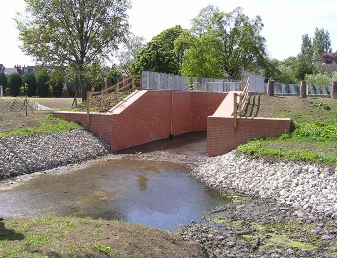
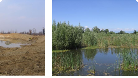
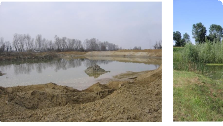
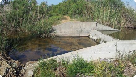
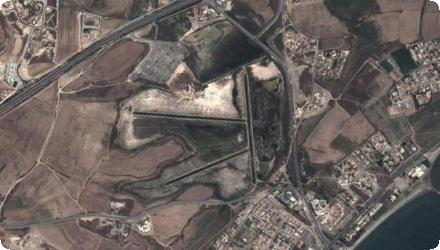
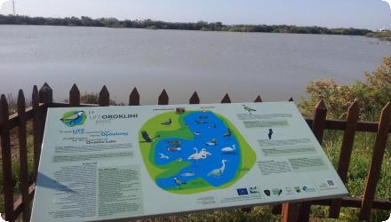
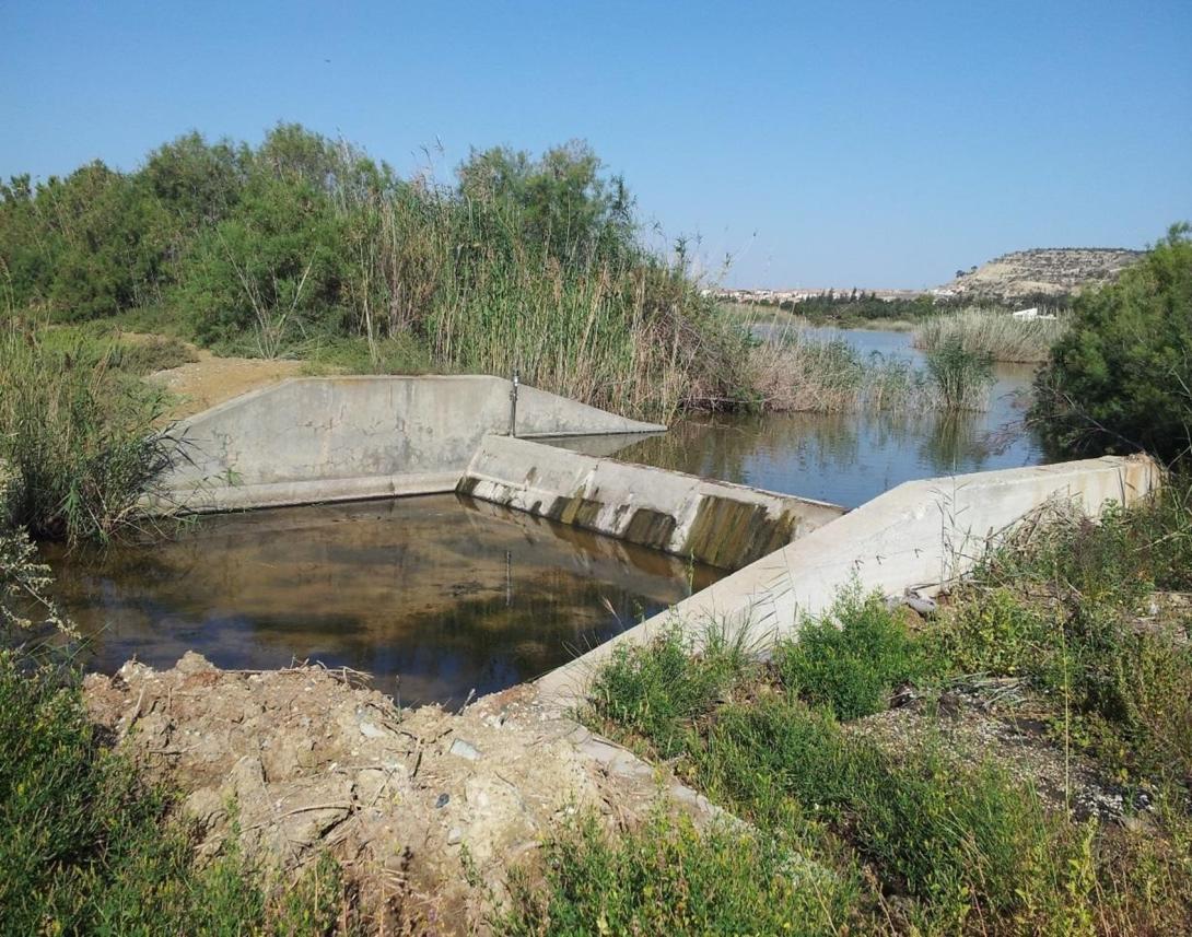
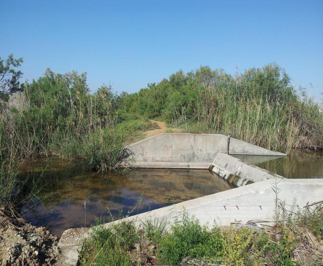
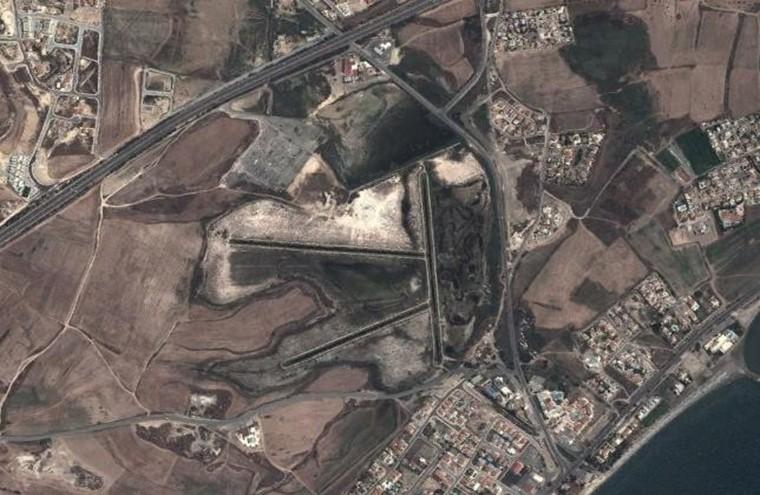
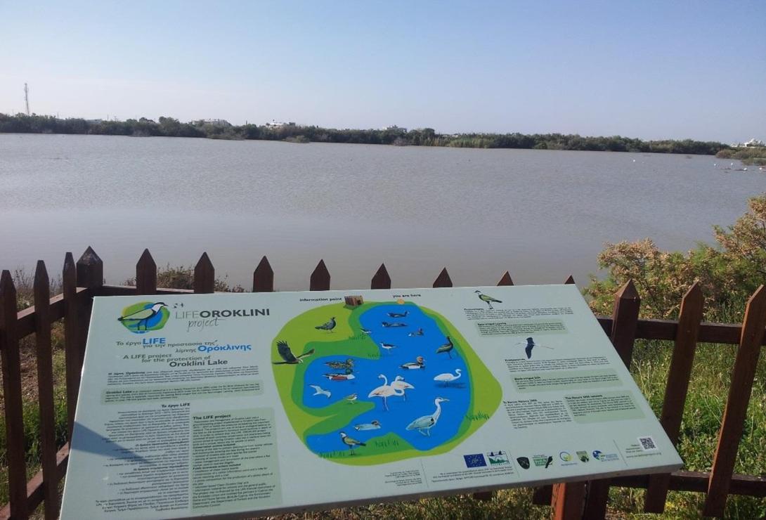
Oroklini Lake lies near Larnaca within Oroklini village. The wetland was modified in the mid-1940s to promote desiccation for health reasons. NWRM actions aimed to retain water and restore habitats for two key breeding species (Black-winged Stilt, Spur-winged Lapwing) and wider biodiversity, including small hydraulic works in the upper basin.
In 2012–2014 the LIFE “Oroklini” project restored and managed the site (water-level management, nesting islets, fencing and visitor facilities), and it was later recognised as a Best LIFE project (2018).
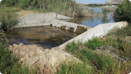
Since 2014, After-LIFE management continues: monthly waterbird counts and nesting surveys, predator monitoring, reed control, and operation of water-control structures to release excess water during floods; bird-collision “diverters” were also installed on power lines.
Recent science characterises Oroklini as a brackish lake (mean salinity ~7.4‰, ≤20‰) with occasional high phytoplankton abundance, influenced by catchment dominated by artificial and agricultural land uses, nformation valuable for water-level and vegetation management.
Under LIFE IP “Pandoteira” (2023–2029), measures relevant to Oroklini include access management to reduce disturbance, water-level plans, reed management and control of non-native predators.
A local issue flagged in late-2023 concerns an upstream runoff channel to the lake that has not been cleaned for decades, raising flood-risk and maintenance needs.
Last update
2025
Summary
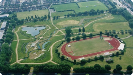
Between 1990 and 2005, the River Quaggy programme in southeast London combined river restoration and flood management to address growing urban flood risk: de-culverting and reconnecting floodplain (notably at Sutcliffe Park), construction of detention basins, set-back defences and channel re-profiling. The scheme took a catchment-scale view, was delivered by a multi-disciplinary team, and drew heavily on community advocacy. Since then, the sites have been managed as long-term green infrastructure: Sutcliffe Park is a Local Nature Reserve with a 2019–24 management plan (updated 2022) to maintain flood-storage function and biodiversity. Lewisham’s 2022–27 Local Flood Risk Management Strategy adopts a “make space for water” approach and cites Quaggy/Sutcliffe Park as exemplars. Recent works extend benefits upstream at Chinbrook Meadows, where Thames21 and partners created new wetland cells (2023–24) to intercept the polluted Grove Park Ditch, improve water quality and habitat, slow flows and enhance community amenity; the wetlands opened to the public in September 2024. River status has also evolved: the Environment Agency now classifies the Quaggy water body as having Moderate ecological status (2025), with physical modification and point-source pollution remaining pressures.
Last update
2025
Summary
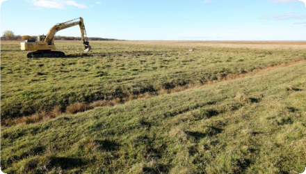
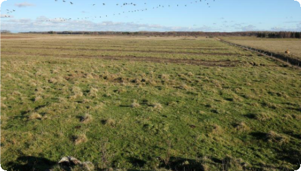
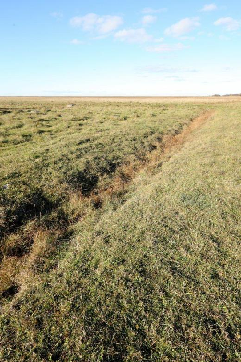
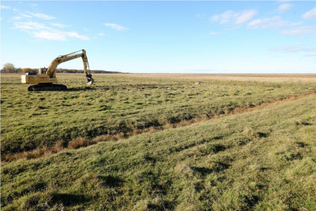
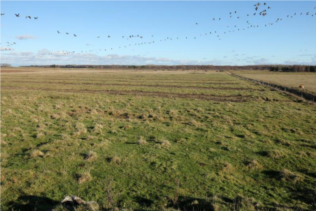
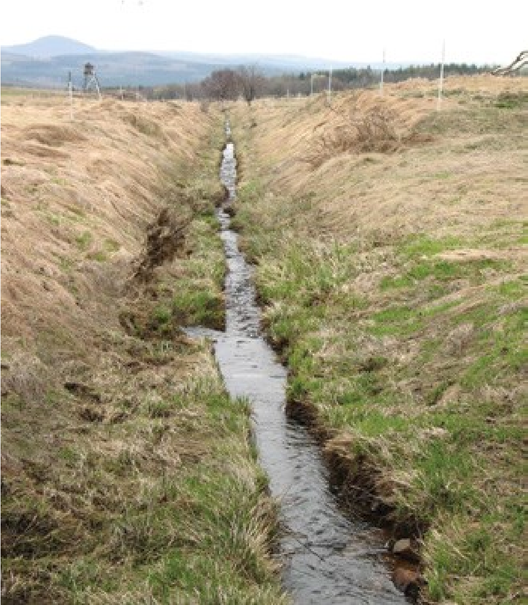
The measure was implemented in 2013 in Matsalu National Park (Natura 2000, Ramsar), at a former coastal meadow beside the large Salmi complex. Old, non-functioning field ditches were closed and scraped to restore wetland hydrology and breeding/feeding habitat for waders and amphibians. Grazing continued as before, with better access to drinking water for cattle.
Since then, the site has been managed as part of the wider Keemu–Salmi coastal meadow system (~360 ha) within a park that maintains ~3,000 ha of coastal meadows, among the largest in Europe. National guidance and the 2021–2027 Action Plan for semi-natural grasslands reinforce long-term maintenance (grazing/mowing, shrub control) and allow restoration actions such as closing drainage to keep meadows wet.
For fauna, Salmi–Keemu is a priority area for the natterjack toad; the species plan recommends sustaining sufficient grazing to keep short-sward habitat and preserving shallow, temporary pools created by micro-relief. In response to very high nest predation on coastal meadows, a pilot predator-control programme (2021–2024) was introduced at Keemu and Salmi to improve wader breeding outcomes.
Overall, the 2013 hydrological works are now embedded in park- and nation-wide management that keeps the meadows open and wet while targeting key bird and amphibian conservation needs.
The project was a rather small-scale restoration effort, which was originally intended to be expanded, but for various reasons this did not take place. No monitoring activities have been carried out to assess the effectiveness of the restoration.
Last update
2025
Summary
The WETLIFE project (2009–2012) in Amalva and Žuvintas mires sought to reverse negative changes by restoring hydrology (converting sluices to spillways, raising embankments, renovating the Amalva polder pump, blocking drainage) and by encouraging more sustainable peatland farming. It also aimed to raise awareness and provide a replicable model.
Since then, restoration has been expanded under LIFE WETLIFE 2 (2014–2018), which upgraded about 6.6 km of embankments, added spillways and a dam on the perimeter ditch, blocked underground drains and removed encroaching trees, with the goal of re-establishing “active raised bog” over ~775 ha in central and southern Amalva. Further rewetting (2019–2022, LIFE Peat Restore) targeted ~215 ha in southern Amalva with 28 retention structures across nine main ditches, four low berms with overflow crests, removal of woody growth and additional drain decommissioning.
Today the reserve operates long-term monitoring (2023–2033) of water levels and quality, while catchment management remains important due to pulsed discharges from the Simnas fishpond system that can affect Žuvintas Lake. Public access has been improved with a short boardwalk and viewing platform (2018), reinforcing outreach and stewardship.
Last update
2025
Summary
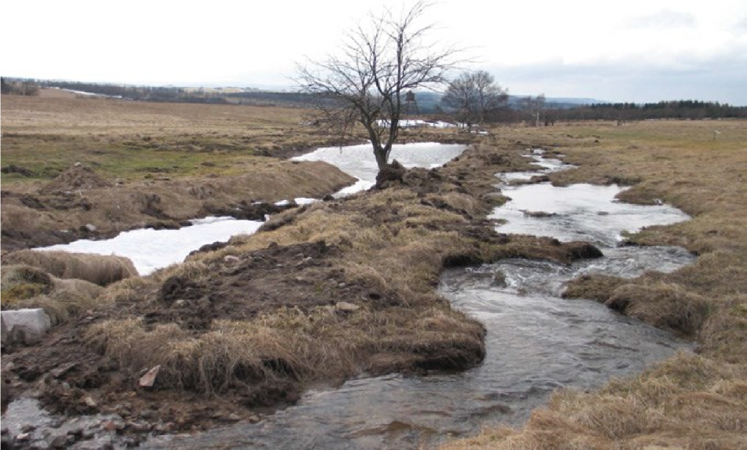
The Nature Conservation Agency of the Czech Republic (AOPK ČR) restored the Černý potok (Black Brook) in the Černá louka Nature Reserve (Ore Mountains, near Adolfov). Early trials began in 2001–2003; the main works in 2009–2010 (OP Environment/ERDF) went beyond in-channel fixes: shallow, meandering channels were newly excavated and reconnected to remnants of the historical course or led across alluvial meadows to reduce depth/volume, slow runoff and re-wet the peat meadows. Designed by Terén Design and built by EPS-Servis, the project reshaped ~2.5 km within the reserve and delivered c. 1,820 m of new channels, ~0.963 ha of ponds/wetland and an ~8 ha meander belt.
Post-restoration monitoring by UJEP found only very small lateral movement (≤10 cm), no significant incision, and that after 1980s straightening had shortened length by ~52% the restored reach in 2011 was ~43% longer than the straightened channel. AOPK notes continued monitoring and documented fish passage, incl. brown trout spawning. Media coverage during the 2019 drought reported the area stayed wet and ponds held water. In 2022, ČSOP with private partners extended restoration to a small tributary just outside the reserve.
Last update
2025
Summary
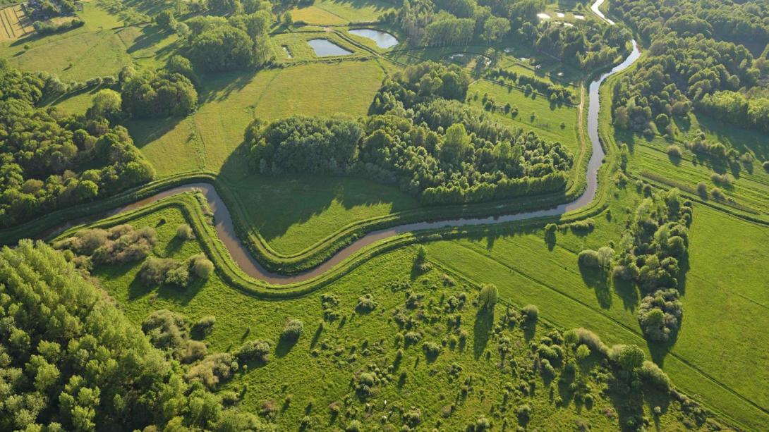
This scheme is part of the long-term SigmaPlan in Flanders, designed to increase flood storage in the Scheldt catchment while restoring natural habitats. On the Grote Nete, the project reconnects the river with its floodplain, previously cut off by dykes. In the middle reach, controlled flood storage areas (GOGs) are being developed, while in the upper and lower reaches free connections are restored, creating opportunities for wetlands, grasslands, and riparian forests.

Since 2015, planning has advanced through a spatial implementation plan (GRUP) and a subdivision into three sub-areas: Zammelsbroek, Tussen Hellebrug en Herenbossen, and Ter Borght–De Merode. Works are ongoing in Zammelsbroek and Hellebrug–Herenbossen, with dike modifications, creation of winter beds, reconnection of tributaries, and restoration of wetlands. The Ter Borght–De Merode section is progressing administratively, with environmental procedures under way. By 2024–2025, public information points and guided visits confirmed the transition to implementation on site.

The project is managed by De Vlaamse Waterweg nv and the Agency for Nature and Forest (ANB), within the broader valley programme “Het Grote Net(e)werk” led by the Province of Antwerp. This coalition aligns flood protection, water quality, and ecological objectives across about 900 ha along 30 km of river. Funding is supported by the SigmaPlan and the Flemish Blue Deal (2025–2029). Implementation requires addressing sediment and water quality constraints but is expected to deliver multiple benefits: improved flood safety, reconnected habitats, and increased resilience of the Grote Nete valley.
Last update
2025
Summary
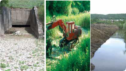
The short term project objectives were to create 250 ha of wetland by raising the water level of the embanked area with a regulating water outlet structure, creation of a variety of habitats -from dry land to spots with deep water- by digging and opening up of old river meanders that had been filled up.
The project is a good experience in the field of ecological restoration, involving purchase of land, participatory planning and co-operation with other organizations, including NGO’s.
The project also had long term objectives related to the creation of a network of wetlands, integration and nature and water policies, the implementation of European directives and the strengthening environmental NGOs and education. The project was implemented by a Romanian regional water authority with the support of Dutch partners.
The Ciobarciu project was evaluated at the end of the project by the project team and by a Romanian University, who interviewed 55 inhabitants of villages where the (previous) owners lived. After a period of five years, the project was evaluated again.
Last update
2025
Summary
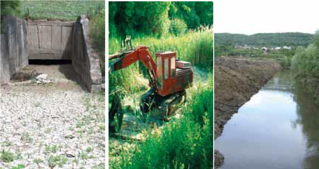
The Odense is a river in southern Denmark. It was channelized and deepened in the late 1940s to improve agriculture. The NWRM consists of a series of measures to restore floodplain connectivity along a 17 km section of the river. The measures will prevent flooding in downstream towns and cities. This will have a number of effects on the pressures relevant for the WFD. Reduced risk for flooding of urban environment reduces the risk for storm overflows from sewers as well as diffuse pollution resulting from flooding in general. Re-meandering reduces the pressure from previous physical alterations for flood protection and agricultural purposes. It will also potentially have a positive effect on ground water recharge in temporarily flooded areas.

Since 2004, ~12 km of Odense River have been remeandered and 350 ha of wetlands restored under LIFE REGAIN. Recent actions include removal of migration barriers, and mussel habitat restoration.

In 2024, two artificial stone reefs (4500 tonnes) were established in Odense Fjord to enhance marine biodiversity. The project was led by SDU in partnership with Odense and Nordfyn municipalities and Aage V. Jensen Naturfond. The reefs aim to improve conditions for fish fry, seagrass, and aquatic invertebrates, and contribute to the ecological recovery of the fjord.
Last update
2025
Summary
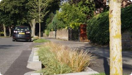
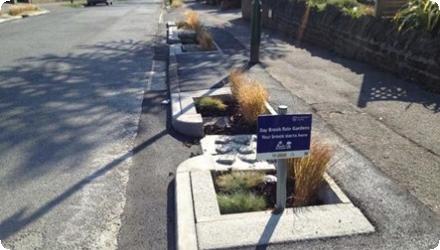
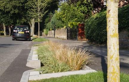
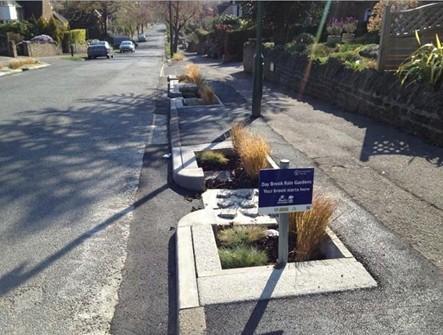
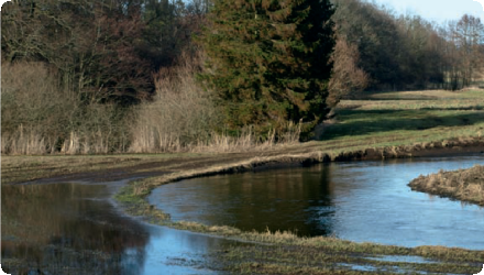
A rain garden was installed along the verges of a residential road in Nottingham, England. The purpose of the rain garden was to control the rate of runoff and water quality reaching the downstream watercourse (Day Brook).
A total of 21 linear rain gardens were constructed within the grass verge of Ribblesdale Road, to manage surface water run off within the catchment of Day Brook. Water contained within the gardens soaks away rather than entering the local surface water sewer which flows to the Day Brook. Construction was completed in May 2013.

The Nottingham rain gardens reduced surface water runoff by up to 30%. They help lower local flood risk, reduce combined sewer overflow, and improve water quality through filtration. Over 150 rain gardens were installed, enhancing biodiversity, creating attractive green space, and supporting pollinators. Maintenance costs are low and community feedback has been positive. The project also contributes to climate resilience and urban cooling.
Last update
2025
Summary
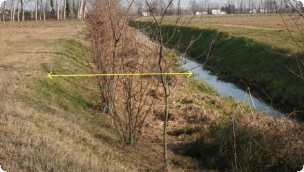
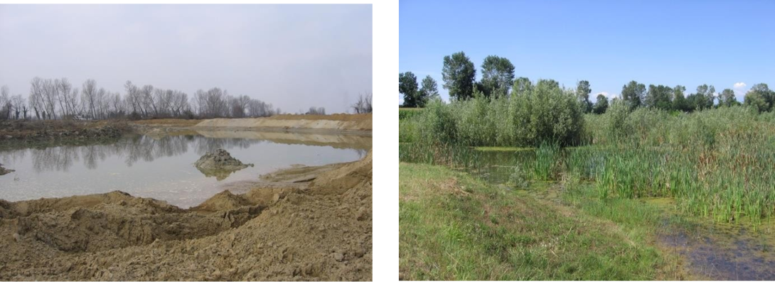
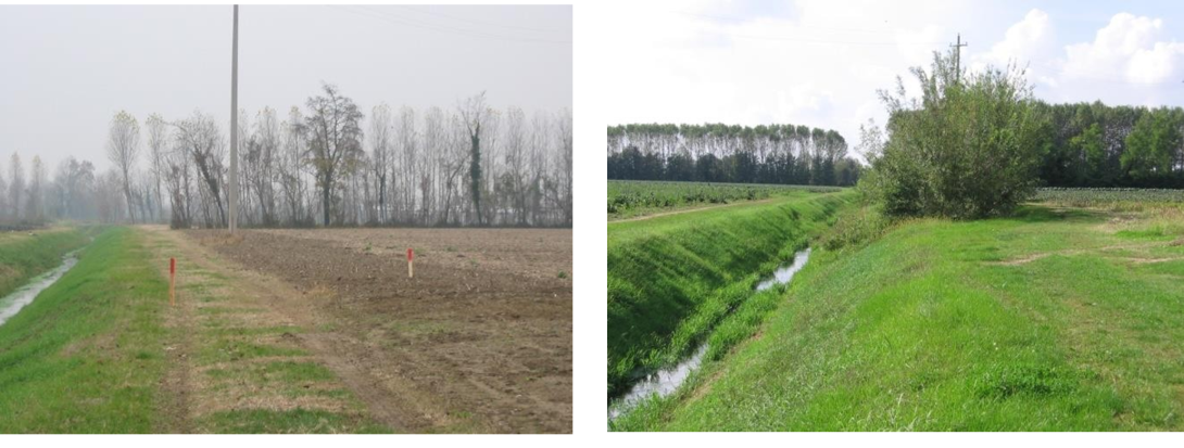
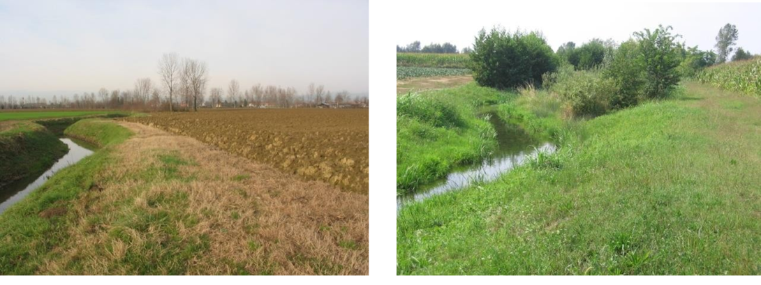
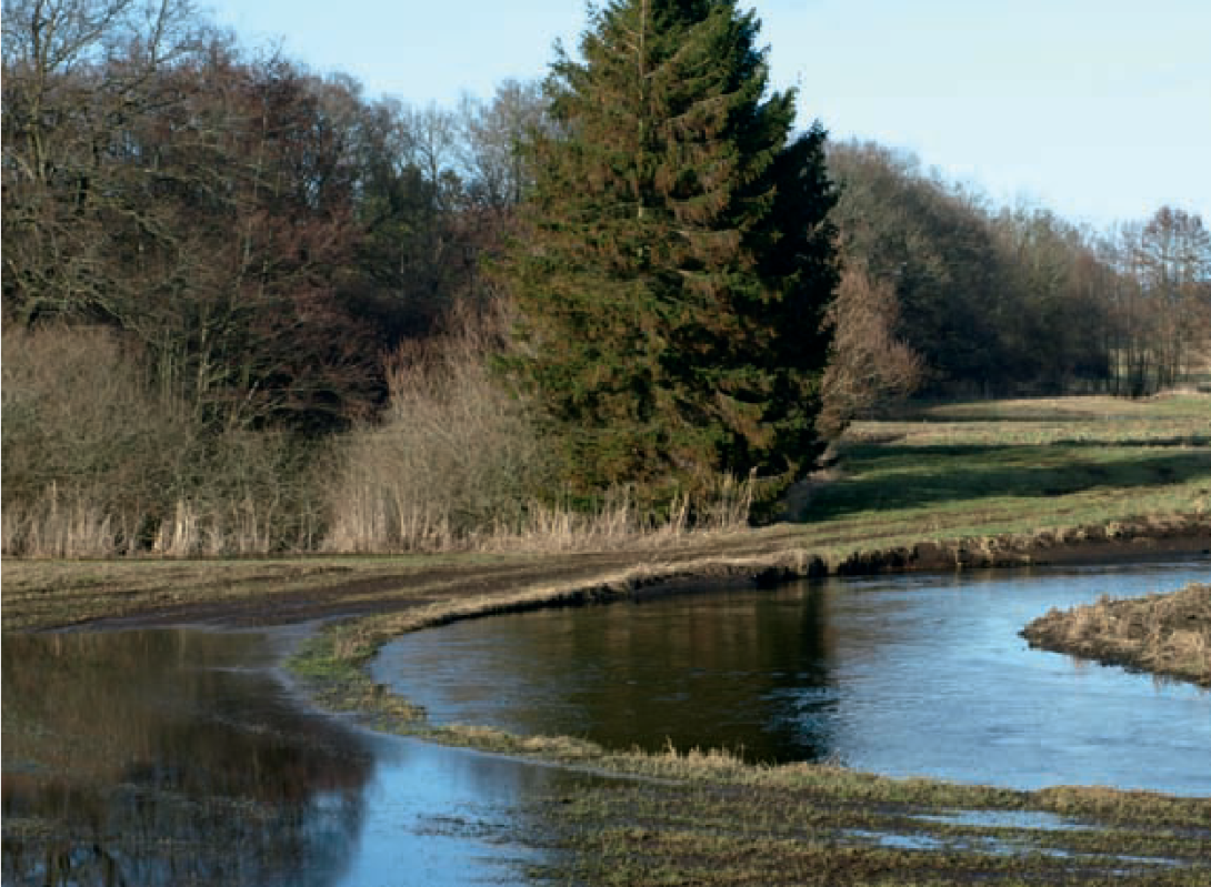
The case study lies in the draining basin of the Venice Lagoon, an intensively farmed area crossed by a dense network of drainage channels. Here, measures were implemented on channels discharging to the Dese River, a major tributary of the Lagoon. The Veneto Region financed riverbed recalibration and ecological restoration under the “Plan for diffuse pollution prevention and restoration of water in the draining basins of the Venice Lagoon”; Consorzio Acque Risorgive delivered the works around 2008–2009.
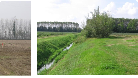
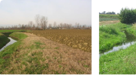
The project re-structured the mid-course effluents of the Dese - Rio San Martino, Rio Sant’Ambrogio and Scolo Desolino - whose primary function is to drain agricultural fields. Objectives were to retain nitrogen and phosphorus through phytodepuration and to mitigate frequent floods aggravated by urban sprawl, soil sealing and culverts (notably highlighted by the 2006–2007 Mestre events). Measures included riparian buffer strips, in- and out-of-channel wetlands, channel widening/meandering, and floodplain reconnection.
Subsequent technical documentation shows the programme extended beyond these three reaches to other local drains (e.g., Piovega di Scandolara, Piovega di Cappella, Piovega di Levada, Piovega dei Tre Comuni). Overall cost was about €4.13 million. Hydrological modelling and design analyses indicate peak flows delivered to the Dese fell from ~29 to ~25 m³/s (≈14% reduction), with tributary-scale decreases (e.g., Rio S. Martino 10.3→8.0 m³/s; Scolo Desolino 7.0→5.5 m³/s; Rio Sant’Ambrogio 11.5→10.5 m³/s).
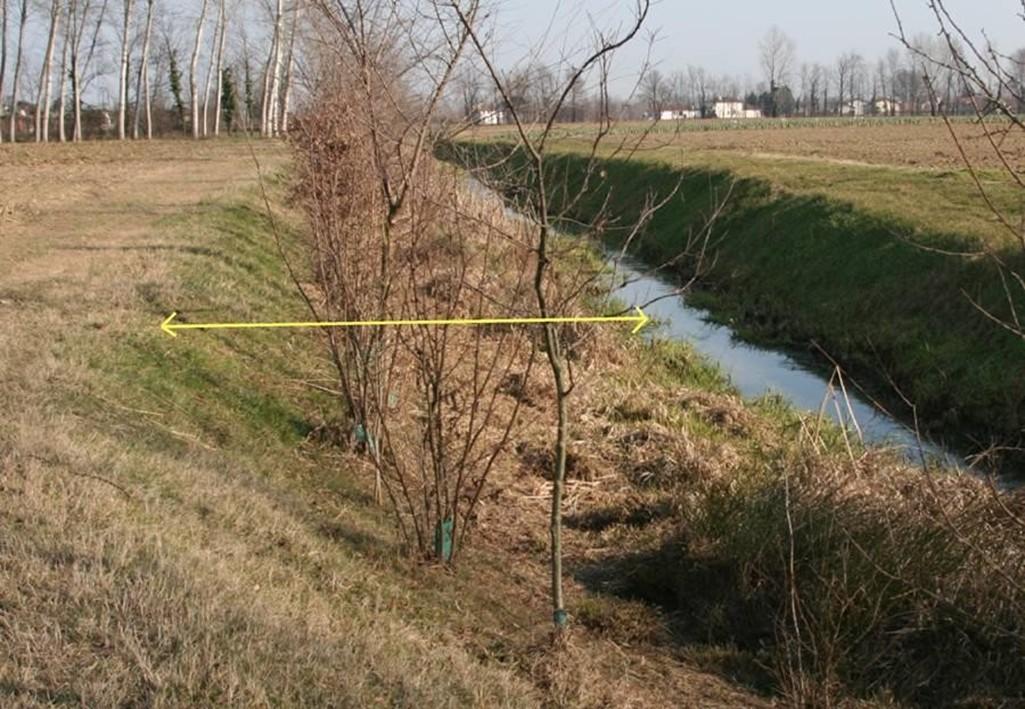
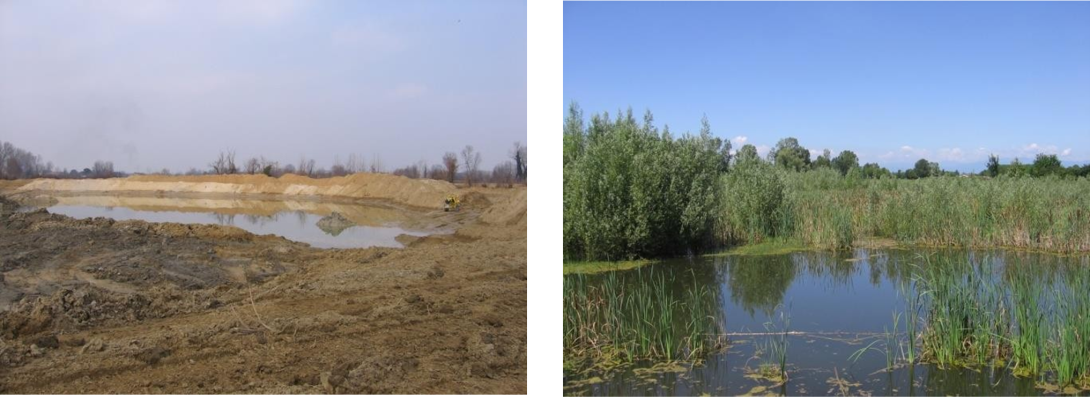
Evidence from the implementer adds scale and design detail: about 14 km of channels were tackled in the Dese sub-basin; ~5.3 km of woody buffer strips were established across these reaches, and an out-of-channel wetland with a “double flow path” was created at Rio San Martino. On the Rio San Martino & Piovega di Scandolara sub-site specifically, ~1.6 km of new riparian woodland was planted.
Monitoring remains limited in the public domain: ARPAV was expected to monitor but little was published; the consortium ran some site-specific monitoring and used results from its NICOLAS experimental site for nutrient-removal parameters. Nonetheless, the combination of buffers, wetlands and planform restoration is credited by local sources with significant nutrient retention and visible flood-risk mitigation, supporting positive public perception.
Status on external registries is “complete”, and consortium material documents continued maintenance and allied works within the jurisdiction into the late 2010s. The case demonstrates multi-benefit restoration at drainage-network scale in a low-slope agricultural plain, aligning water-quality and flood-risk objectives under the Venice Lagoon Plan.
Last update
2025