Photo gallery
Summary
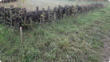
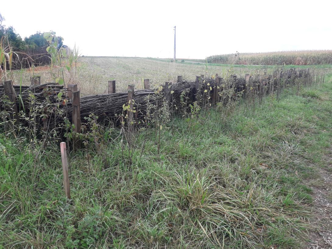
Bas-Rhin is highly exposed to muddy runoff during spring–early-summer storms, impacting villages downstream of cropped slopes. Since 2008, the Chamber of Agriculture and local authorities diagnose erosion risk at commune scale and co-design preventive measures (concerted crop rotations, a gradual shift to no-till) and curative “soft hydraulics” (dense hedges and live/dead fascines, grass or miscanthus strips), implemented by municipalities or intermunicipal bodies.
Since 2018, the Eurométropole de Strasbourg holds competence for runoff/erosion control. With BRGM, it uses the WATERSED model to rank 96 catchments across 14 at-risk communes and update priorities each year; modelled sediment reductions are typically 50–95% (and >60% for a 10-year storm once devices are in place). Implementation is formalised through 10-year contracts with farmers, with standard annual compensation per area. By 2019–2023, about 129 devices (~9.9 km) were (re)installed under 53 conventions. Recent municipal programmes combine agronomy with hedges/fascines/miscanthus and resized swales (e.g., Eckwersheim), while other communes report site-specific packages (e.g., Lampertheim: 600 m of live fascines and 200 m of grass strips). Regional guidance (DREAL Grand Est) and AERM support frame the approach at departmental/basin scales.
Since 2018, the Eurométropole de Strasbourg holds competence for runoff/erosion control. With BRGM, it uses the WATERSED model to rank 96 catchments across 14 at-risk communes and update priorities each year; modelled sediment reductions are typically 50–95% (and >60% for a 10-year storm once devices are in place). Implementation is formalised through 10-year contracts with farmers, with standard annual compensation per area. By 2019–2023, about 129 devices (~9.9 km) were (re)installed under 53 conventions. Recent municipal programmes combine agronomy with hedges/fascines/miscanthus and resized swales (e.g., Eckwersheim), while other communes report site-specific packages (e.g., Lampertheim: 600 m of live fascines and 200 m of grass strips). Regional guidance (DREAL Grand Est) and AERM support frame the approach at departmental/basin scales.
Last update
2025