Completed

Summary
Water retention spaces, reforestation and grazing management in southern Portugal.
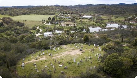
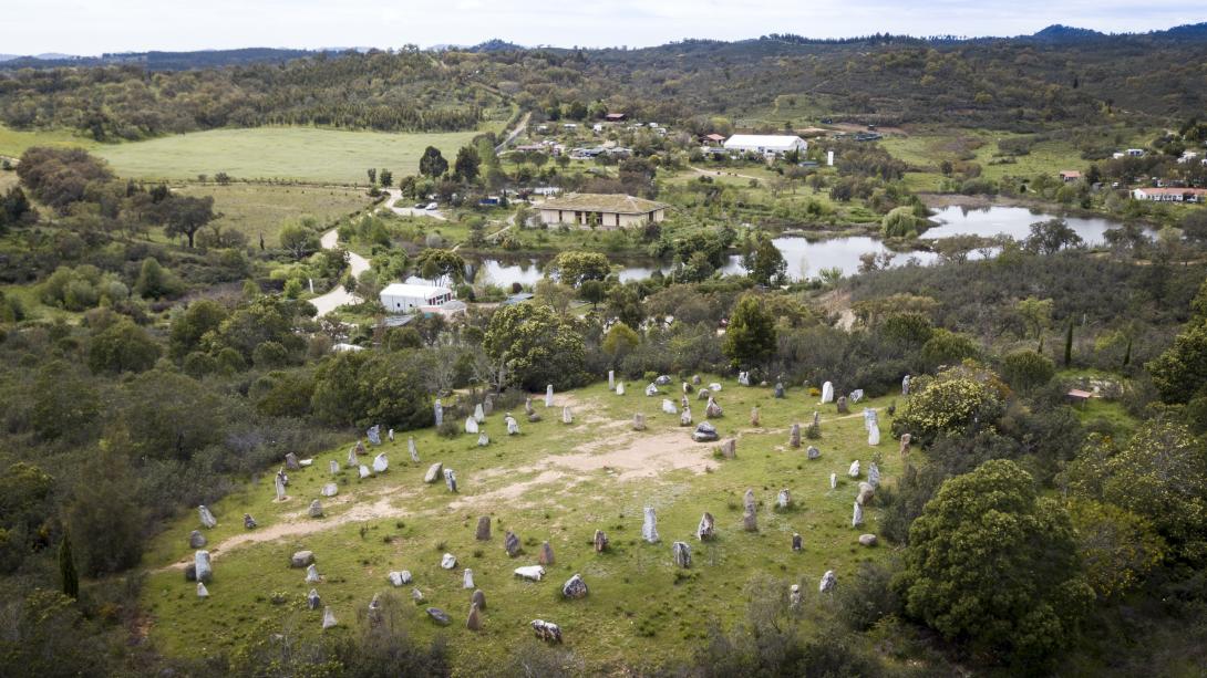
At Tamera (Monte do Cerro, Odemira), an ecovillage of 190 permanent residents and >100 non-permanent inhabitants, a “Water Retention Landscape” has been implemented since 2006 using reforestation and mixed groundcover, holistic grazing, keyline design, terracing, swales, and decentralized lakes and ponds. By 2015, 29 lakes/retention spaces expanded open water from 0.62 ha to ~8.3 ha across a 154–156 ha property; subsequent work shifted to infiltration, mulching, vegetation and dam maintenance. Reported outcomes include autonomous water supply, stabilization of groundwater levels and increased biodiversity; the lakes also supported neighbours and firefighters in drought and fire periods. A cost–benefit assessment for 2015–2050 was carried out (NPV sensitive to assumptions). Water-quality monitoring (2012–2014) found several lakes eutrophic, while distributed water met EU thresholds, underscoring the need for continued management. Legally, the site has been framed within a Rural Intervention Plan (PIER) for Monte do Cerro and Vale da Mua (156.35 ha), with public participation opened in 2015 and the process entering a decisive phase in 2023.
Last update
2025
Summary
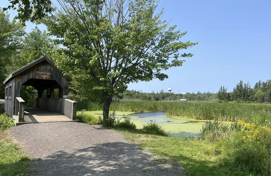
In 2010, the Nummela Gateway Wetland Park (2 ha) was built as both a water-quality mitigation landscape and an urban park. Early monitoring (2010–2011 spring floods) and a three-year ecological survey showed rapid self-establishment, rising biodiversity and multiple ecosystem services (erosion/flood control, pollutant reduction), alongside strong recreational and educational use. According to the project managers, EU LIFE+ “Urban Oases” began in 2012; from 2012–2016 the team deployed high-frequency, year-round monitoring and also sampled sub-catchments to separate urban vs. agricultural loads, which guided the construction of an additional upstream wetland (Nummelan Niittu). Peer-reviewed work documents seasonal nutrient-removal dynamics and highlights the creation of endangered clay-stream habitats. Today, municipal pages present both Portti and Niittu as accessible nature sites (trails, bird tower). The municipality also continues periodic lake-water monitoring in Enäjärvi under local programmes. Comparative studies (including Nummela) underscore how vegetation and design influence phosphorus removal performance.
Last update
2025
Summary
Reconstruction of the Lepiku channel that is a part of the drainage system, which starts from the new residential area next to the Tallinn Botanic Garden and includes wetlands, detention ponds, ditches and channels and debouches into Pirita river. The aim was to improve the quality of the storm water that flows into the Pirita river. The river Pirita is a part of Natura 2000 site and flows into the Baltic Sea. The length of the reconstructed channel part is ca 195 m and the works included: widening of channel bottom in different segments, creating artificial dykes and rapids and creating suitable conditions to the aquatic plants exhibits in Botanic Garden.
Last update
2025
Summary
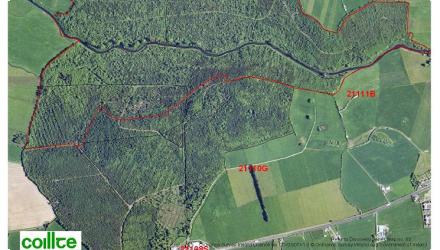
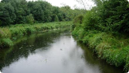
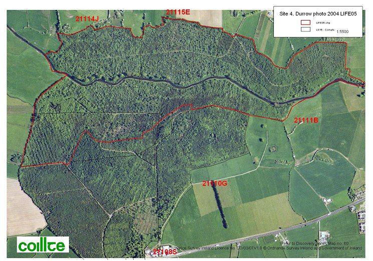
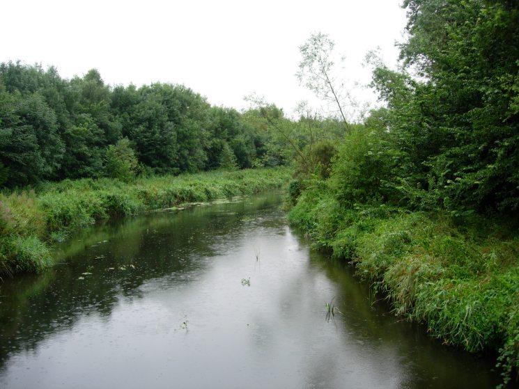
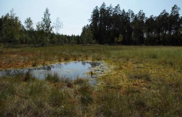
This site was one of nine included in the LIFE05 project to restore priority woodland habitats in Ireland. The Durrow site lies on the floodplain of the River Erkina and had been affected by planting of non-native conifers and associated drainage. A network of shallow ditches across the site was reducing the retention time of floodwaters; to counter this, c.350 ditch-dams were installed (installation 2009, LIFE05/NAT/IRL/000182). Since then, Durrow has been confirmed as part of the River Barrow & River Nore SAC (002162), where alluvial forests (91E0*) are a qualifying interest; assessments also record calcareous “petrifying springs” (7220*) within the alluvial woodland along the Erkina floodplain, and describe Durrow as one of the largest remaining alluvial woodlands in Ireland. At catchment scale, EPA WFD characterisation shows the downstream waterbody ERKINA_050 declined from Good to Moderate status with elevated phosphate and agriculture as a significant pressure, framing ongoing risks to riparian habitats. Nationally, Coillte’s LIFE05 programme restored >550 ha of priority native woodlands across nine Natura 2000 sites (including Durrow). Locally, the Durrow Biodiversity Action Plan 2023–2028 highlights the Erkina, the Nore and associated woodlands within the SAC.
Last update
2025
Summary
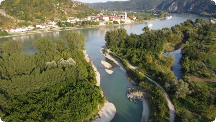
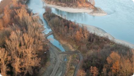
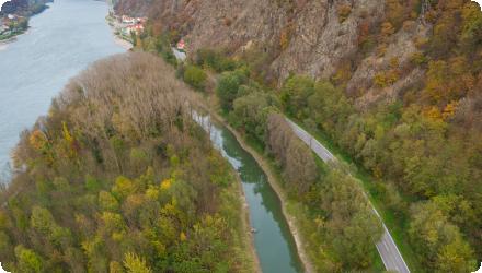
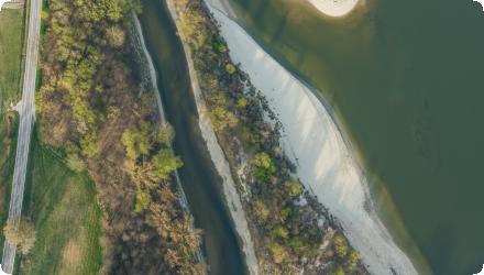
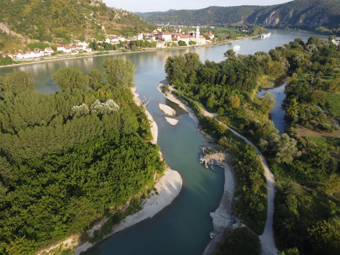
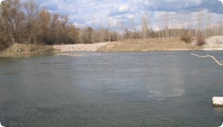
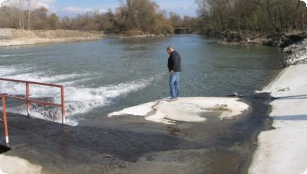
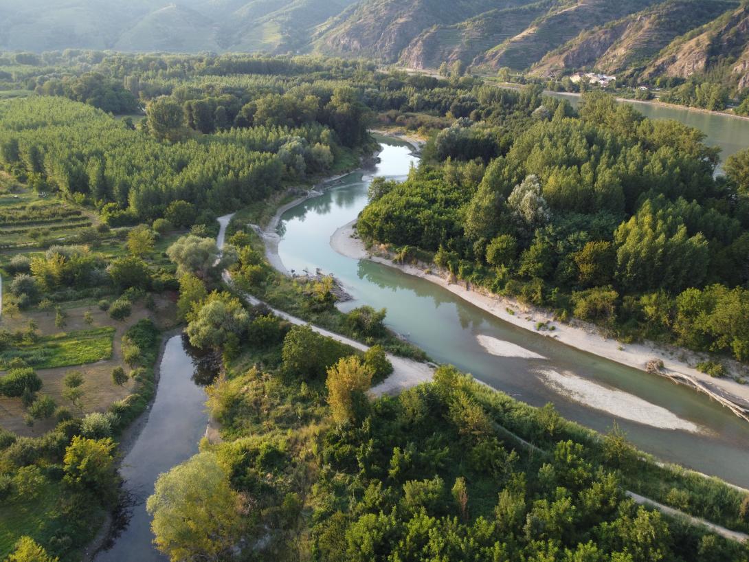
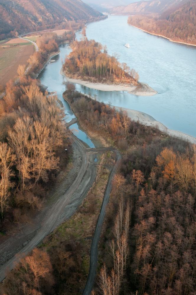
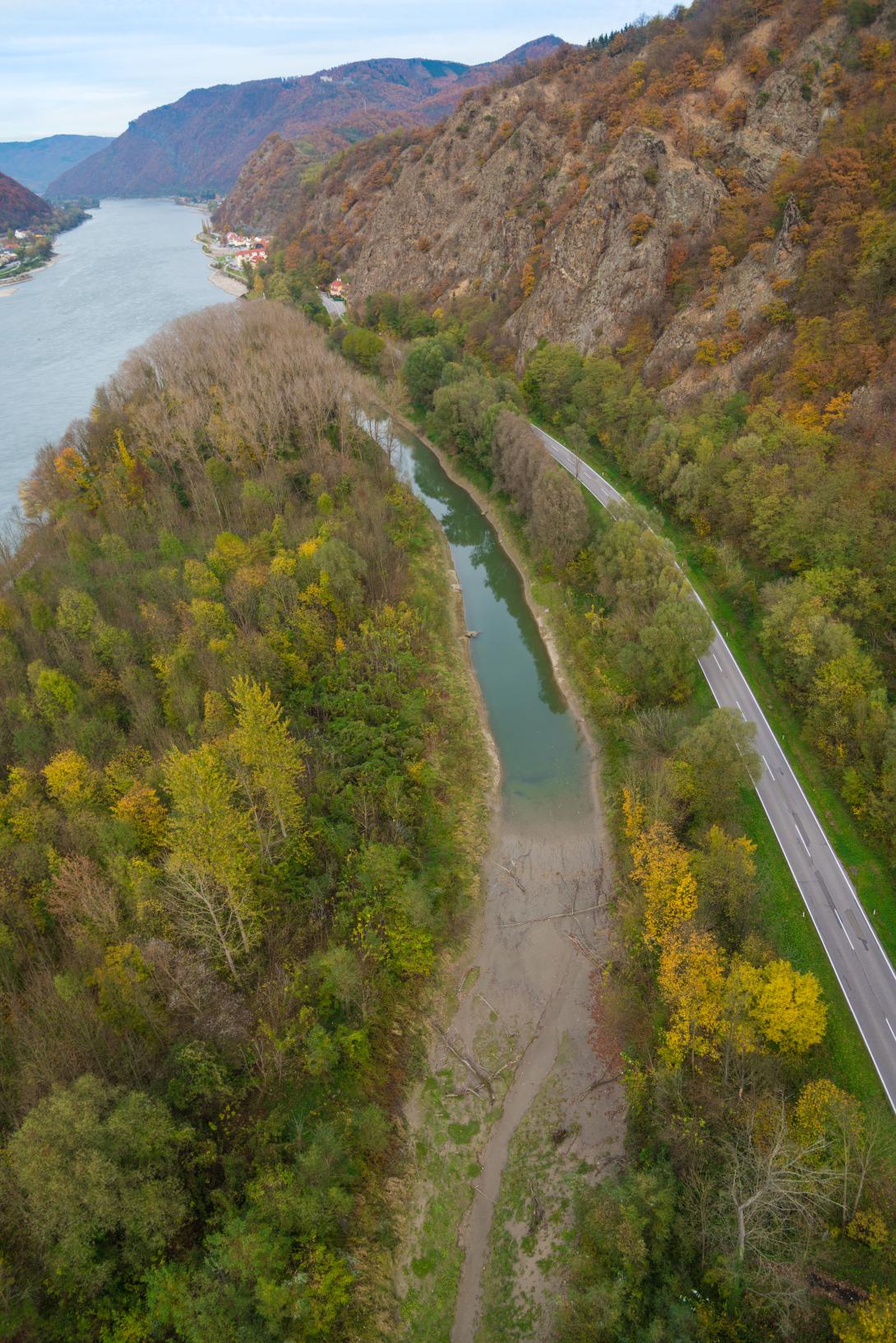
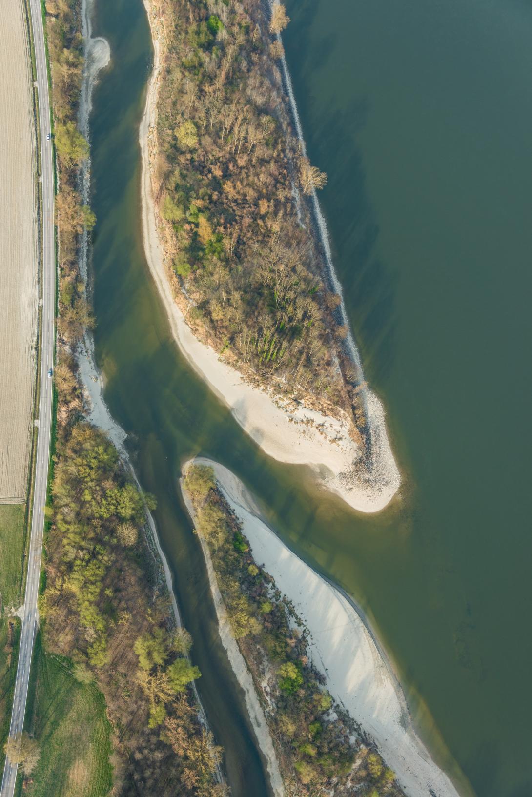
Within an Austrian LIFE Nature project, gravel banks have been established along the Danube in the Wachau, and dried site-arms have been reconnected. The measures aimed at improving biodiversity through providing spawning habitats, as well as controling erosion and run-off. As a particularity, the gravel used in the project stemmed from maintenance works for the shipping channel of the Danube. The project has been initiated and implemented by a local association (Arbeitskreis Wachau), which includes several communities.

All implemented measures of "LIFE Nature Wachau" are still operational and most of them were further optimized by additional projects.

The Sidebranch reconnections of Grimsing and Rührsdorf-Rossatz are still existent and working.

Sidebranch Grimsing was expanded upstream by a new sidebrach Schallemmersdorf and significantly lengthened in 2011 - 2013 as a result of the project LIFE+ Mostviertel Wachau (lead partner: Land NÖ, implementation: viadonau). Now the sidebranch system Schallemmersdorf – Grimsing has a length of more than 4 km in total. The connection to the main stream of Donau is still working at low water level. The sidebranch system now is an important spawning area and habitat for rheopilic fish species which are typical to the Danube. The sidebranch system and the alluvial forest enclosed by it continue to serve as flood area. Further measures to expand the sidebranch system are currently planned by municipality of Emmersdorf (implementation of a new oxbow at sidebranch Grimsing).

Sidebranch Rührsdorf- Rossatz was expanded downstream by a new sidebranch Schopperstatt and significantly lengthened in 2019 – 2022 as a result of the project LIFE+ Wilderness Wachau (lead partner: viadonau, implementation: viadonau). The new sidebranch system Rührsdorf – Rossatz - Schopperstatt has a length of more than 5 km in total. The connection to the main stream of Donau is still working at low water level. The sidebranch system now is an important spawning area and habitat for rheophilic fish species which are typical to the Danube. The sidebranch system and the alluvial forest enclosed by it continue to serve as flood area.

The Revitalized oxbow Aggsbach has silted up after a few years. Municipality Schönbühel- Aggsbach therefore initiated a new project in 2013/2014 (Strukturierung Altarm Aggsbach) to further expand the oxbow lake and make it available as a spawning habitat for stagnophilous fish species. The funktion as water reservoir has been restored.

The creation of flat gravel banks and gravel islands as part of the maintenance of the Danube navigation channel has been continued since "LIFE Nature Wachau" was implemented until year 2022 (implementation: viadonau). Currently, new official permits must be obtained in order to be able to continue the work in the future.

Today, the project is still relevant and working; project was (and still is) continuously expanded through follow-up activities. The ecological goals in the Wachau could / can only be achieved through the sum of several implemented projects and ongoing maintenance activities.
Last update
2025
Summary
Life for the Burgas Lakes (LIFE08-NAT/BG/000277) was an EU LIFE+ Nature project aiming to secure the long-term conservation of five Annex I bird species and the sustainable management of their wetland habitats around Burgas, implemented in coordination with Burgas Municipality, Chernomorski Solnitsi (Black Sea Saltworks), the Bulgarian Biodiversity Foundation and RSPB (2010–2014). Since then, complementary measures across the complex have consolidated and expanded results: at Poda (Ramsar), works in 2023 reopened the Komlushki canal, rehabilitated a dyke and installed water-level control; at Lake Vaya, the outlet canal to the Black Sea was rehabilitated in 2023 to increase hydraulic capacity, rebalance salinity and improve the water regime; at Atanasovsko Lake, the Salt of Life and Lagoon of Life projects (2012–2018; 2018–2024) restored dikes, cleaned saltwater channels and enhanced lagoon habitats, with Bulgaria’s first successful Greater Flamingo breeding recorded in 2024. Grid-related bird mortality is being addressed by the ongoing LIFE “Safe Grid for Burgas” (2021–2026). According to the project manager, most NWRM remain operational and continue to deliver benefits to birds, with natural transformations and targeted upgrades.
Last update
2025
Summary
LIFE-Nature “Green Borders” (LIFE07 NAT/RO/000681, 2009–2013), coordinated by WWF with Romanian and Bulgarian partners, aimed to secure Pygmy Cormorant (Phalacrocorax pygmaeus) and Ferruginous Duck (Aythya nyroca) by restoring nesting/feeding habitats and promoting best fisheries management. It created a cross-border framework for 11 Natura 2000 sites along the Lower Danube.
Key works included improving the hydrological regime of Kaikusha marsh in Persina Nature Park (BG), completed in 2012, and the ecological reconstruction of the Gerai(ului) backwater at the Olt–Danube confluence (RO) in 2011.
The project’s studies supported the 2013 designation of three Transboundary Ramsar complexes (Iezerul Călărași–Srebarna, Suhaia–Belene Islands Complex, and Bistret–Ibisha), strengthening coordinated wetland management across the border.
Follow-up restoration in the Lower Danube Green Corridor continued under the Living Danube Partnership: water control was modernised at Persina/Kalimok and a further project prepared for Kaikusha; in Romania, >400 ha at Gârla Mare–Vrata were reconnected to the Danube in 2022. Note: in Sept 2021, a major fire burned most reedbeds at Kaikusha, temporarily degrading habitat.
Last update
2025
Summary
Executive Forest Agency (EFA) is the coordinating beneficiary and, with WWF, implements a project to protect and restore 11 riparian and wetland habitat types across ~21,000 ha in ten Bulgarian nature parks (Bulgarka, Vitosha, Vratsa Balkan, Golden Sands, Rila Monastery, Ruse Lom, Blue Rocks, Strandja, Shumen Plateau). Building on this, LIFE13 NAT/BG/000801 (Sept 2014–Feb 2019) targeted habitat 91E0* in two Natura 2000 sites—Maritza River (BG0000578) and Marten-Ryahovo (BG0000529)-with actions at Merich Orman and Gushterova Odaya (Maritsa) and on Aleko Island (Danube). In total, 48.1 ha of riparian forests were restored: 24.0 ha through afforestation with native species (e.g., Quercus robur, Ulmus spp., Fraxinus angustifolia, Alnus glutinosa, Populus nigra, Salix alba) and 24.1 ha enhanced using an adapted “Saarland method” to remove invasives and improve stand structure. Monitoring showed variable survival (c. 80% at Marten-Ryahovo; lower on Maritsa after the 2016 drought and riverbed lowering from aggregate extraction), prompting a shift to autumn replanting and adjusted species mixes. Long-term management is secured via 30-year agreements with site managers; national technical guidelines on riparian forest restoration were published in 2018, and follow-up maintenance continues with EFA and the Regional Forest Directorates.
Last update
2025
Summary
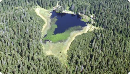
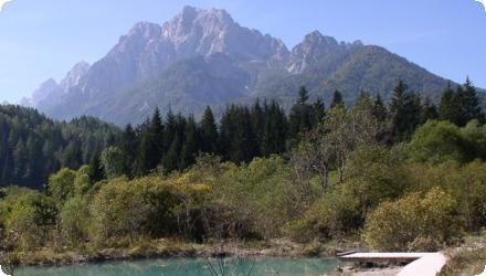
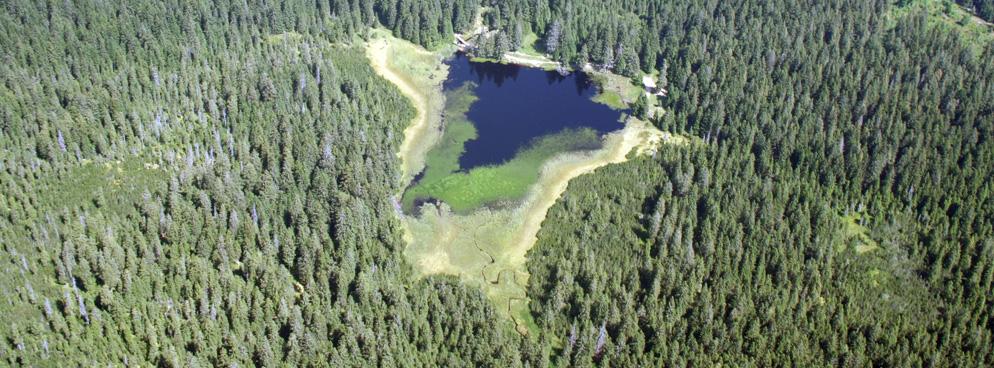
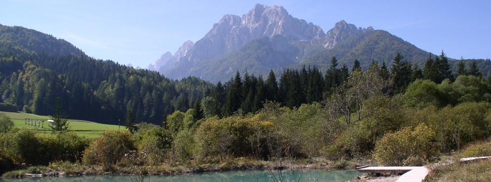
The LIFE WETMAN project (2011–2015) restored six Slovenian wetlands (Pohorje bogs, Zelenci, Mura–Petišovci oxbows, Gornji kal, Planik and Vrhe). It improved hydrological conditions (e.g., dams on outflows in the Pohorje bogs and a gravel/sediment trap on the Čošelnov graben feeding Zelenci), removed overgrowth, and eliminated invasive fish in Gornji kal and the Mura oxbows. To reduce habitat damage and disturbance, footpaths/boardwalks were created in Zelenci and on the Pohorje bogs. Site-specific management guidelines were prepared and integrated into sectoral and Natura 2000 planning to ensure long-term conservation.
After LIFE, implementation continued: a Zelenci management plan was prepared in 2013 with the municipality; the national Natura 2000 Management Programme (2015–2020) and the integrated project LIFE-IP NATURA.SI (2018–2026) have supported further measures and monitoring. On Pohorje, follow-up regional projects (SUPORT and POHORKA, 2019–2023) consolidated habitat and visitor-management actions. WETMAN’s results were also recognised with a Best LIFE Nature award at EU Green Week.
Last update
2025
Summary
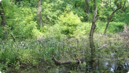
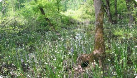
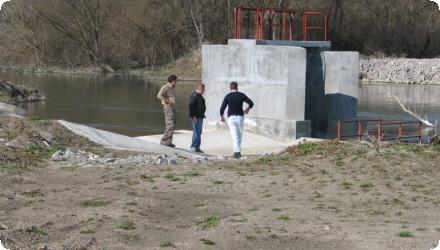
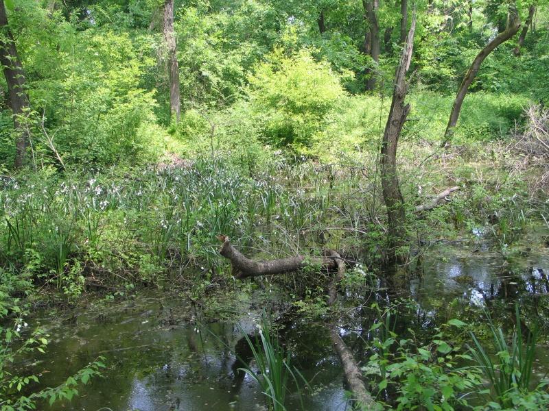
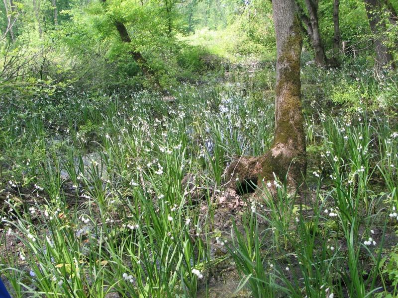
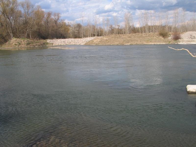
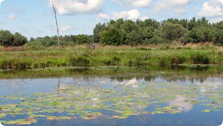
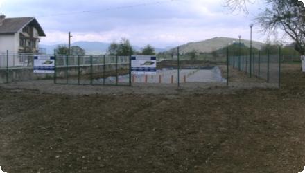
Dimitrovgrad Municipality restored, protected and promoted the sustainable development of the “Zlato pole” protected area by securing additional water to maintain its hydrological regime and constructing a hydraulic intake and supply channel. Water is diverted from the Martinka River, via a small intake and settling basin, then conveyed ~580 m in a buried 600-mm pipe and ~520 m in an open canal with control gates; the scheme was completed in 2013. The 84.79-ha site overlaps the Natura 2000 SPA BG0002103 “Zlato pole”, for which the Ministry adopted site-specific conservation objectives in June 2024, including targets for key birds such as Pygmy Cormorant and Ferruginous Duck and for wetland habitats. Management is overseen by RIEW Haskovo, with an information centre in Raynovo supporting education and visitors. Post-project actions have included nest boxes, aquatic plantings (white waterlily) and safeguarding of Leucojum aestivum. Current pressures reported on site are recurrent fires, illegal hunting/fishing and occasional flooding along the Martinka. Overall, the restoration sustains wetland hydrology, enhances habitat mosaics on the Maritsa floodplain and underpins ongoing Natura 2000 commitments, while requiring continued local engagement and enforcement.
Last update
2025