Photo gallery
Summary
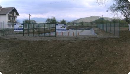
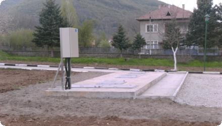
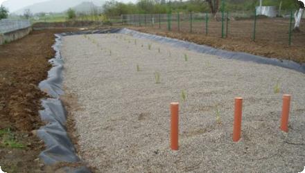
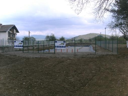
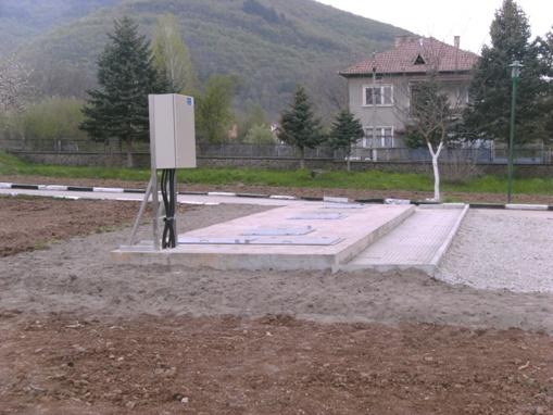
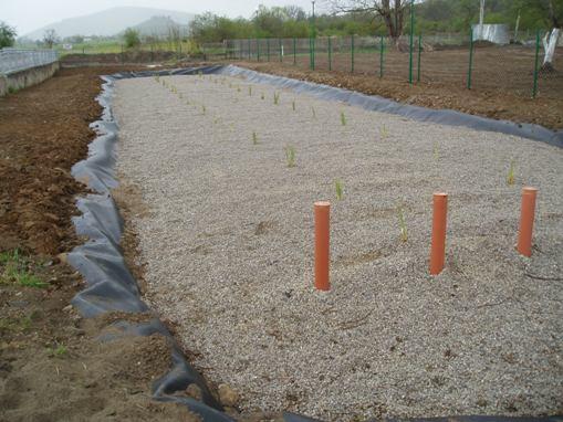
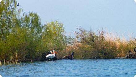
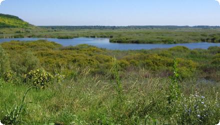
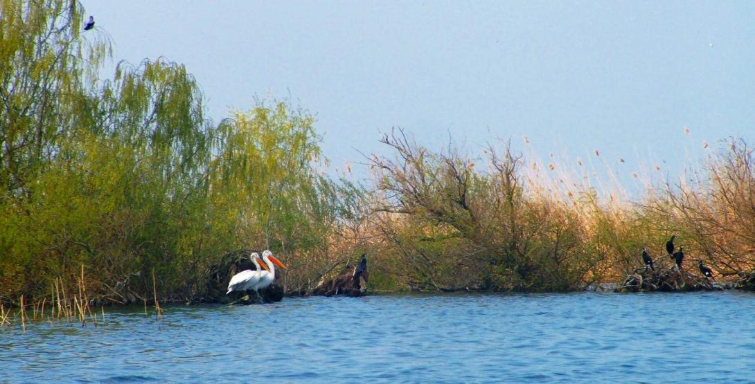
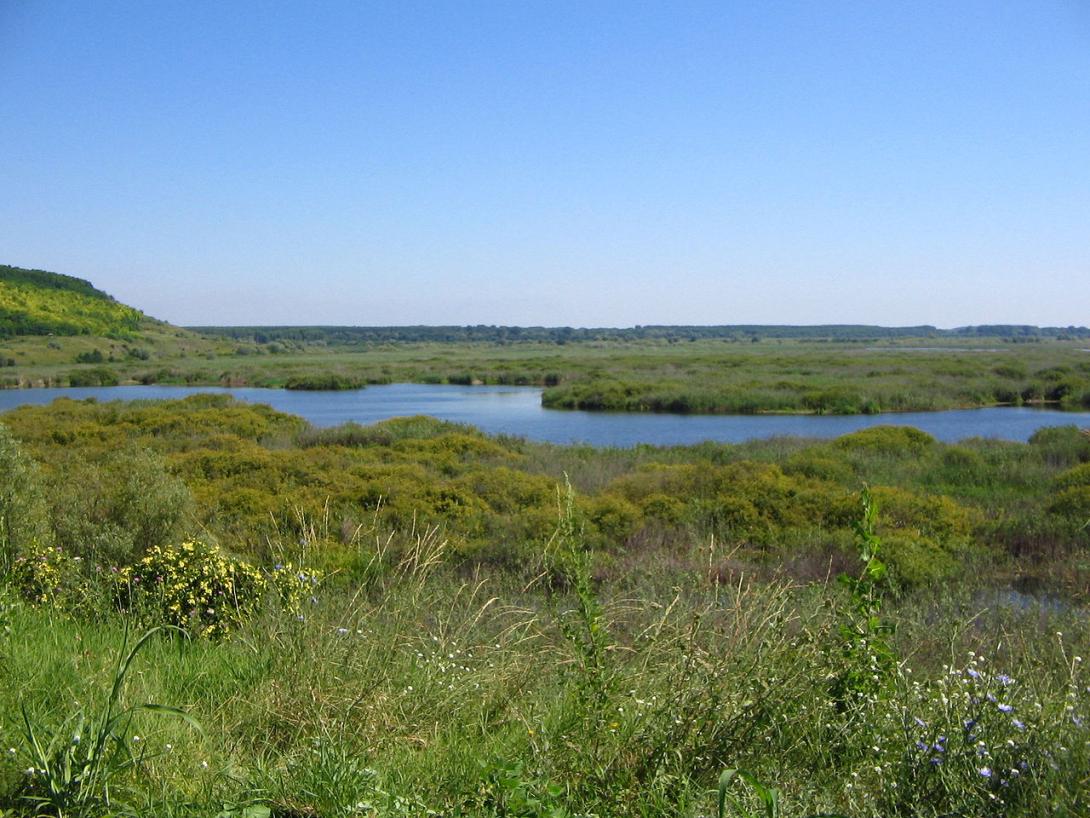
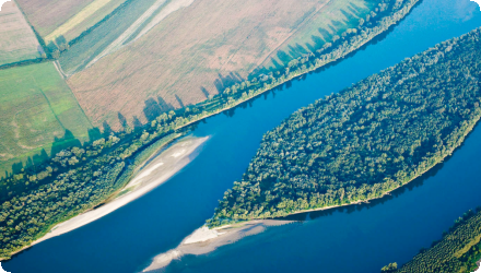
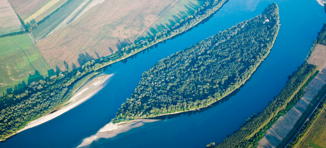
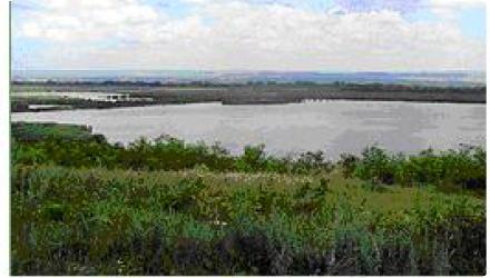
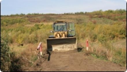
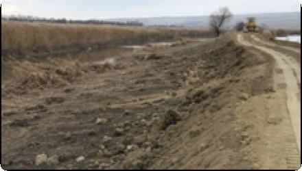
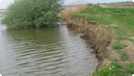
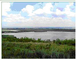
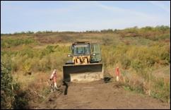
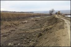
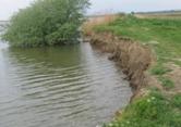
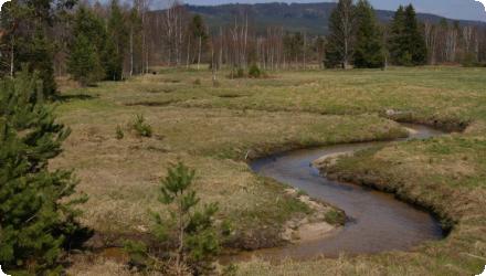
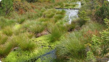
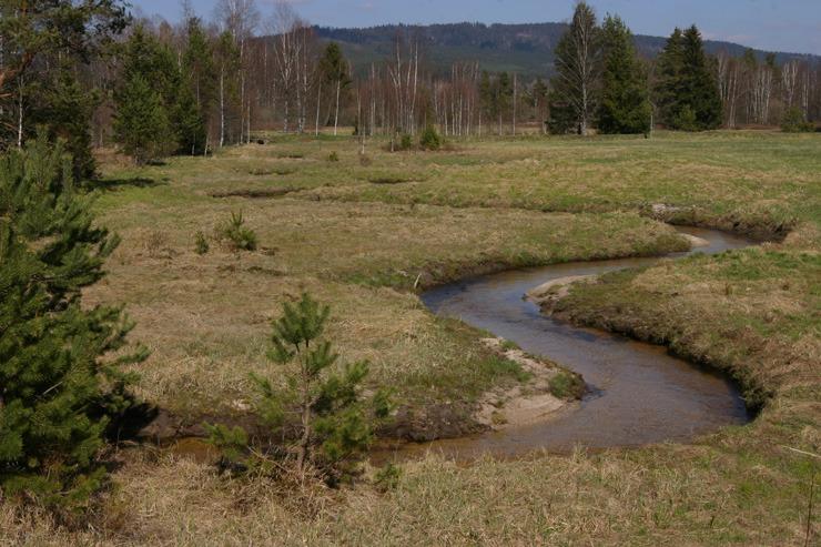
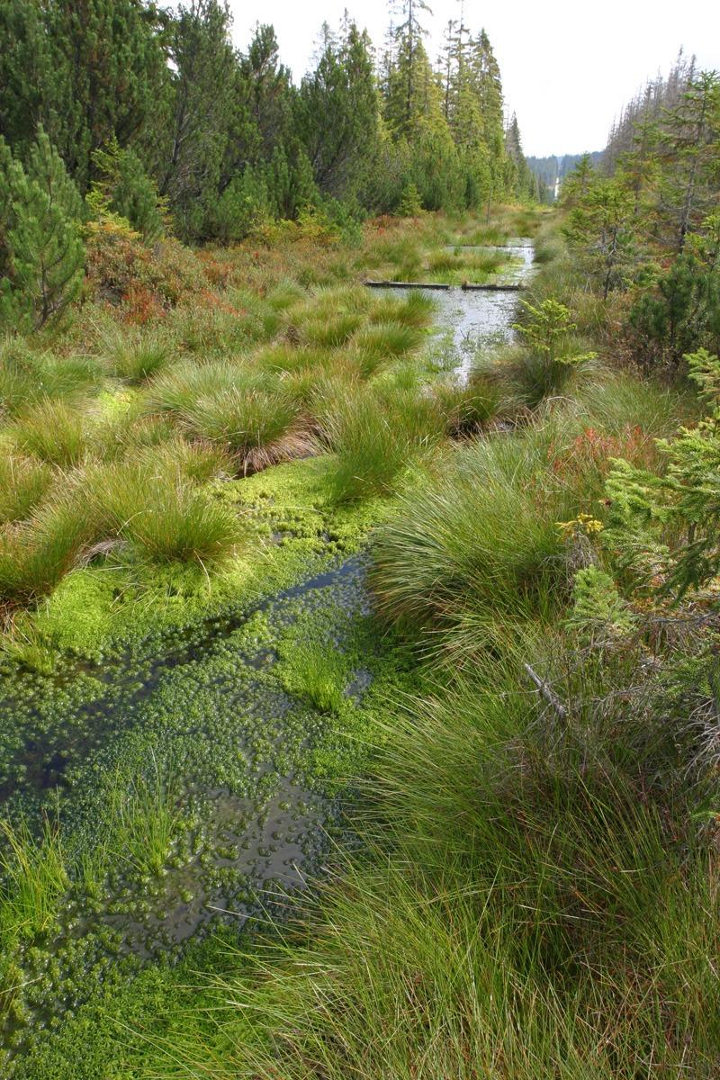
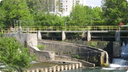
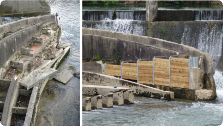
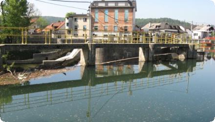
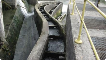
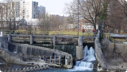
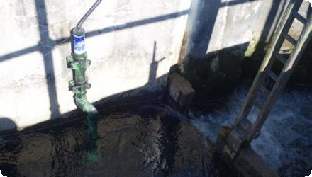
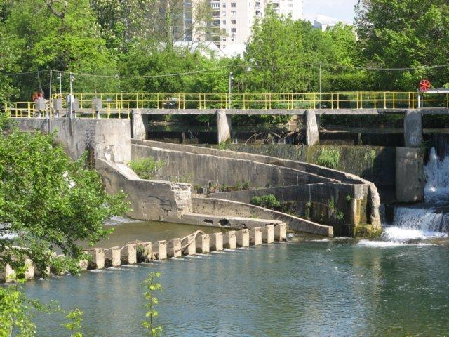
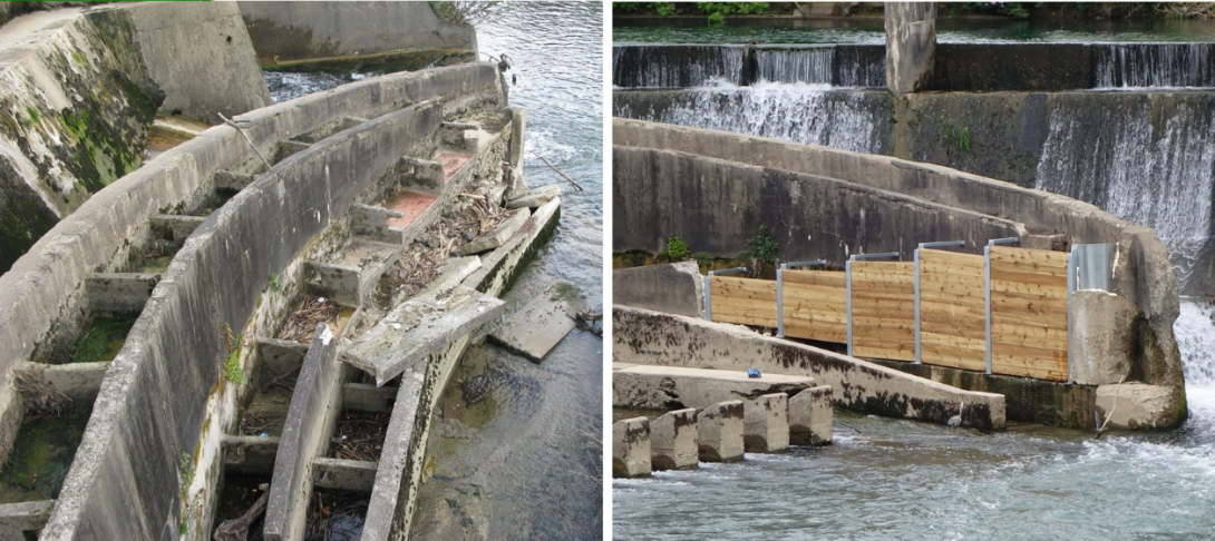
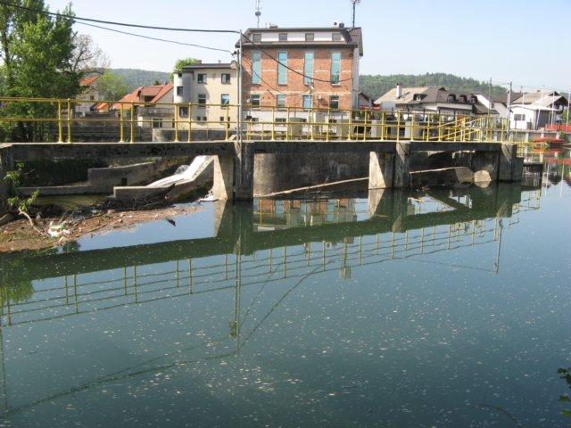
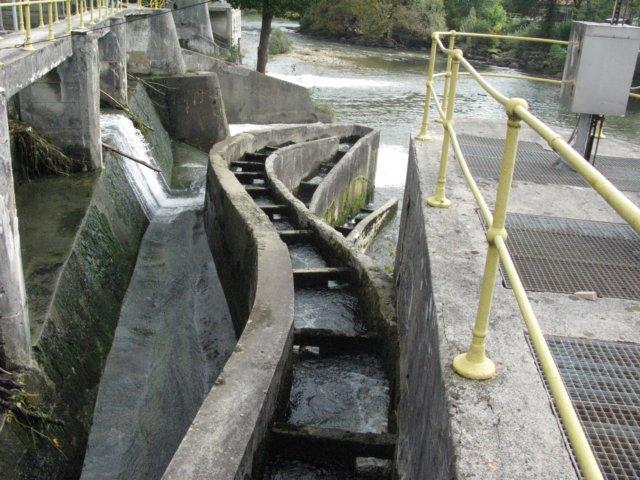
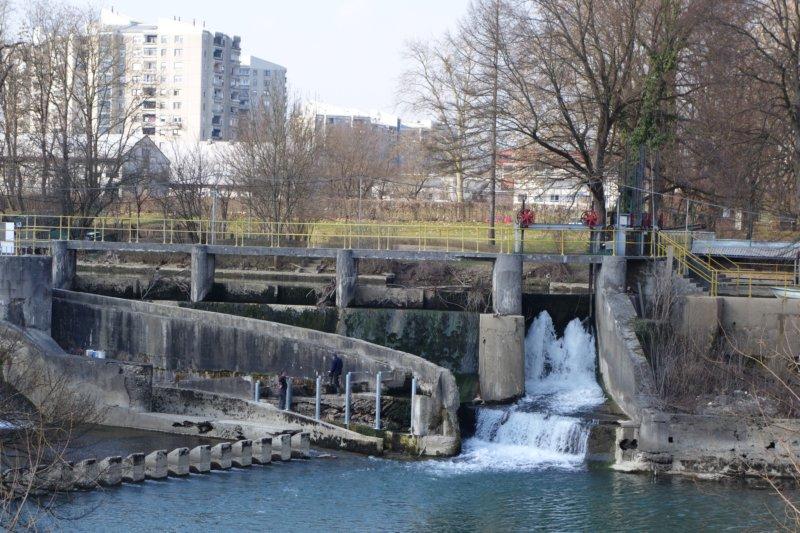
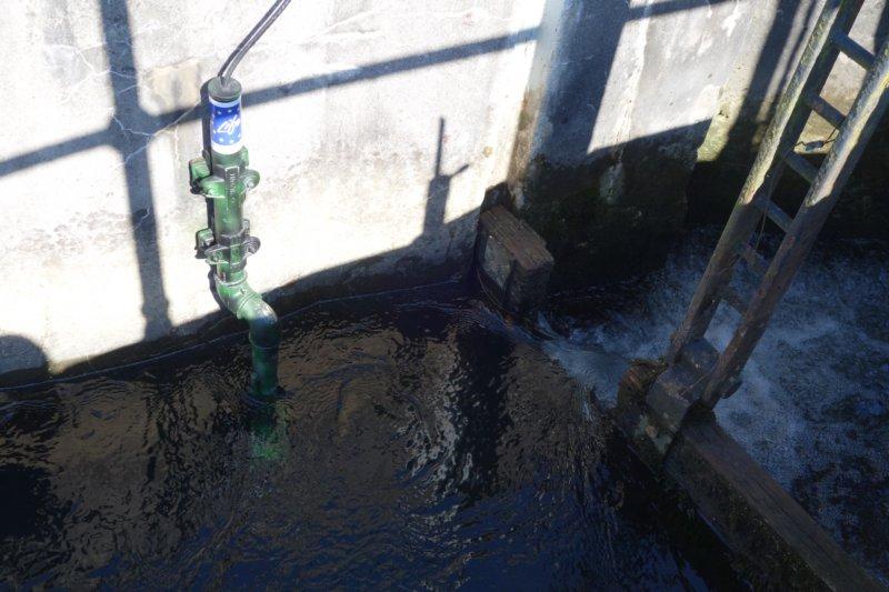
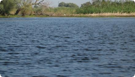
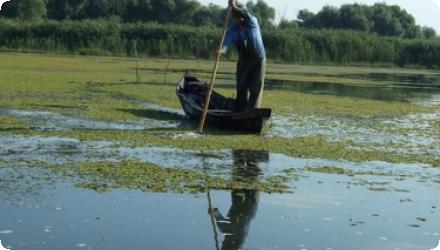
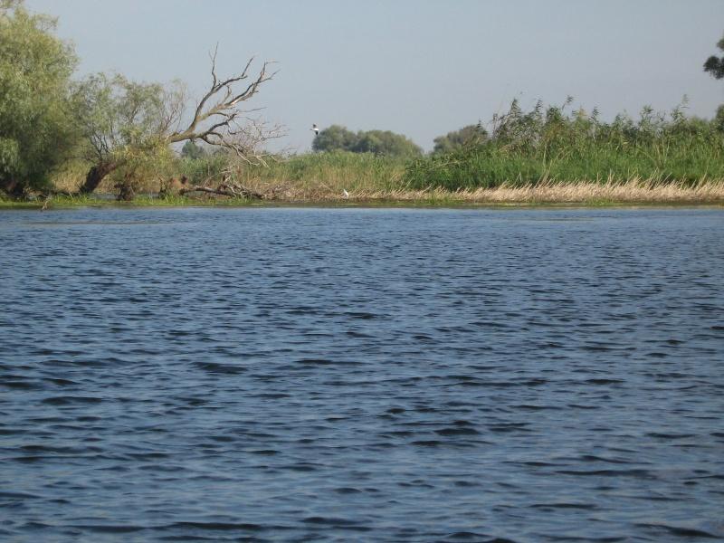
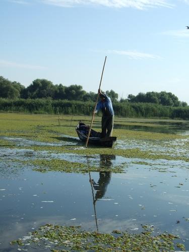
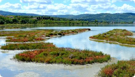
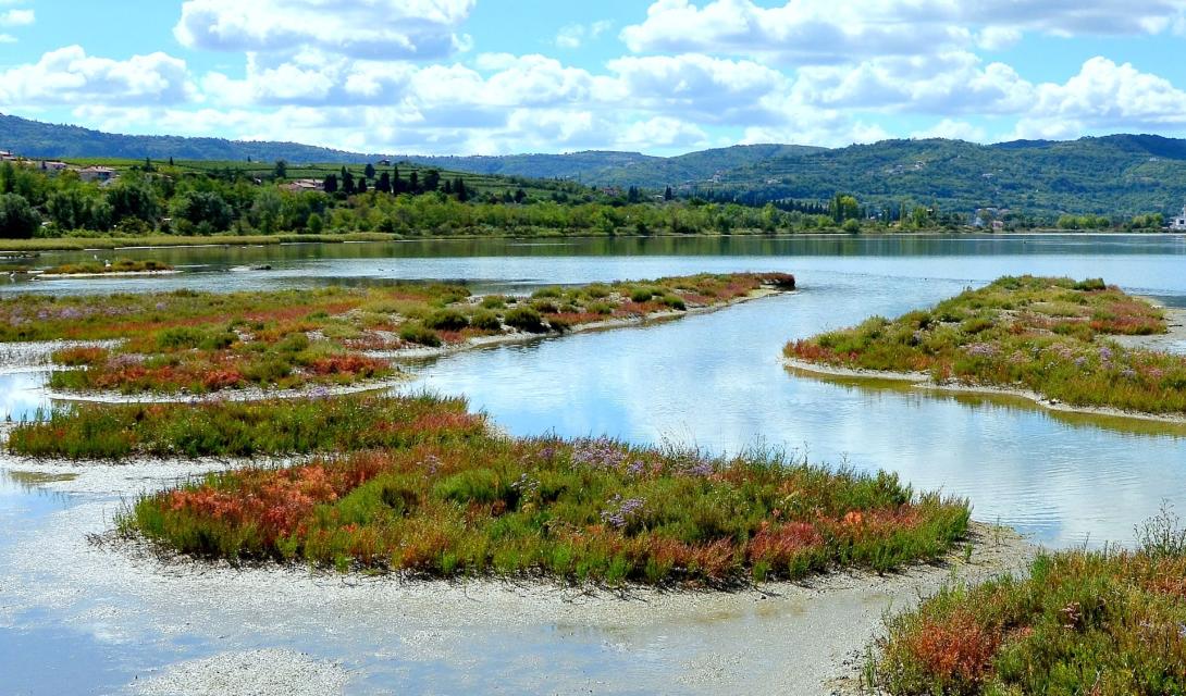
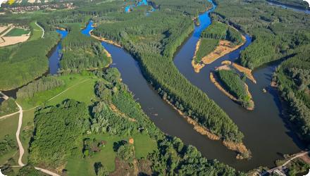
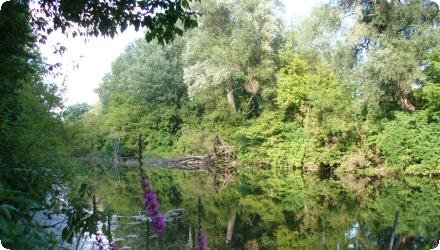
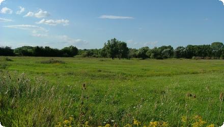
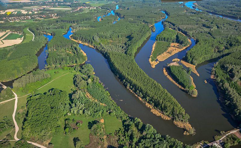
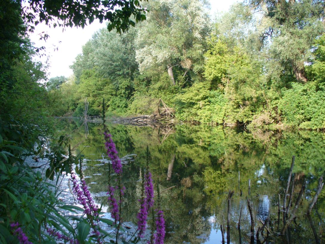
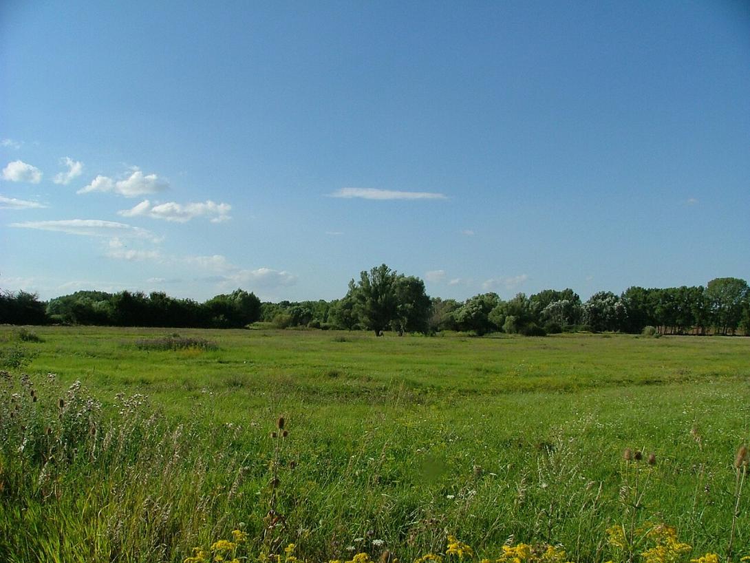
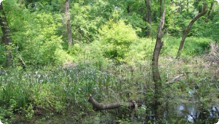
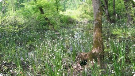
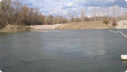
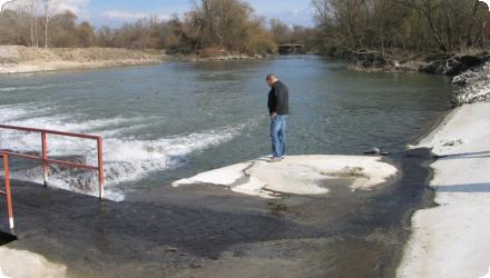
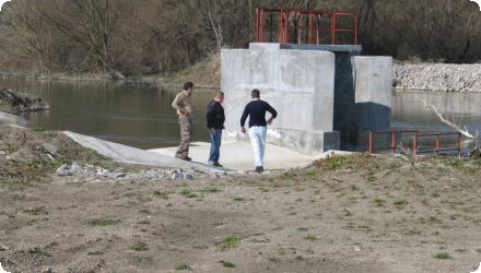
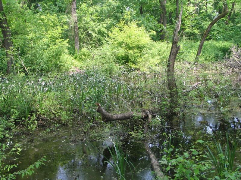
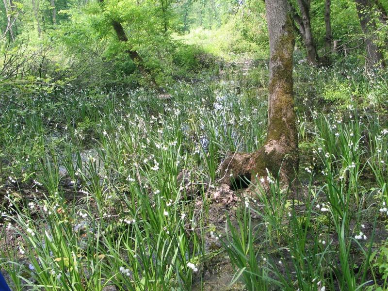
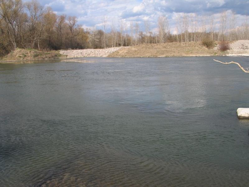
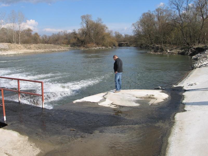
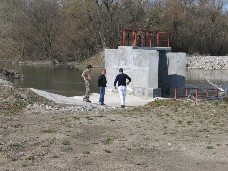
The maintained reserve “Dolna Topchiya” (Natura 2000 BG0000195 “Reka Tundzha 2”) was restored by RIEW–Stara Zagora through a diversion weir and a ~900 m channel linking the River Tundzha to the Malka Tundzha, to rewet riparian floodplain forest (habitat 91F0). In 2018–2024 the scope expanded under OP Environment project BG16M1OP002-3.007-0010 to also restore the inundation regime of the adjacent maintained reserve “Balabana” (Elhovo Municipality). Main works delivered in 2023: at Balabana, a water intake on the Tundzha and reconstruction of irrigation canals “Iztochen” (1,897 m), “Popovska 1” (879 m) and “Popovska 2” (863 m); at Dolna Topchiya, three gabion weirs (“Dipsiza 1–3”) with crest lengths 14/10/12 m to raise soil moisture. Contractor: Technostroy-Engineering 99 AD; supervision: IVPI Consult OOD. Total budget BGN 1,489,422.96 (ERDF + national co-financing). Closing press event: 21 Nov 2023; administrative end: 26 Apr 2024. The objective is to sustain riparian forests (habitats 91F0, 92A0) by re-establishing periodic flooding and groundwater recharge.
Last update
2025