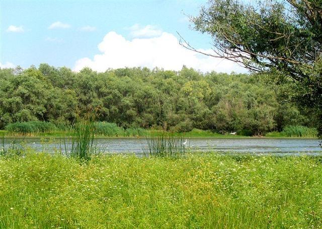
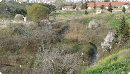
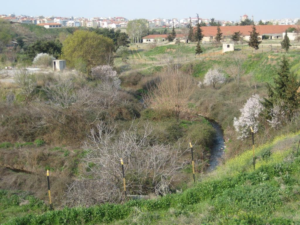
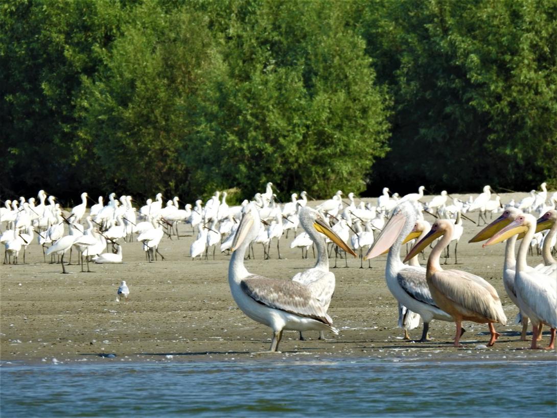
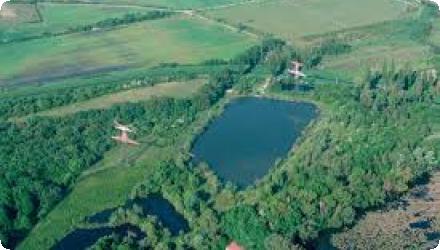
Photo gallery
Summary
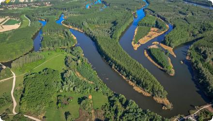
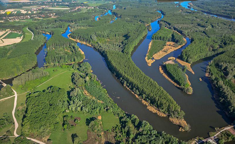
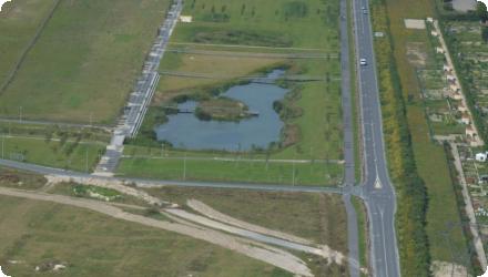
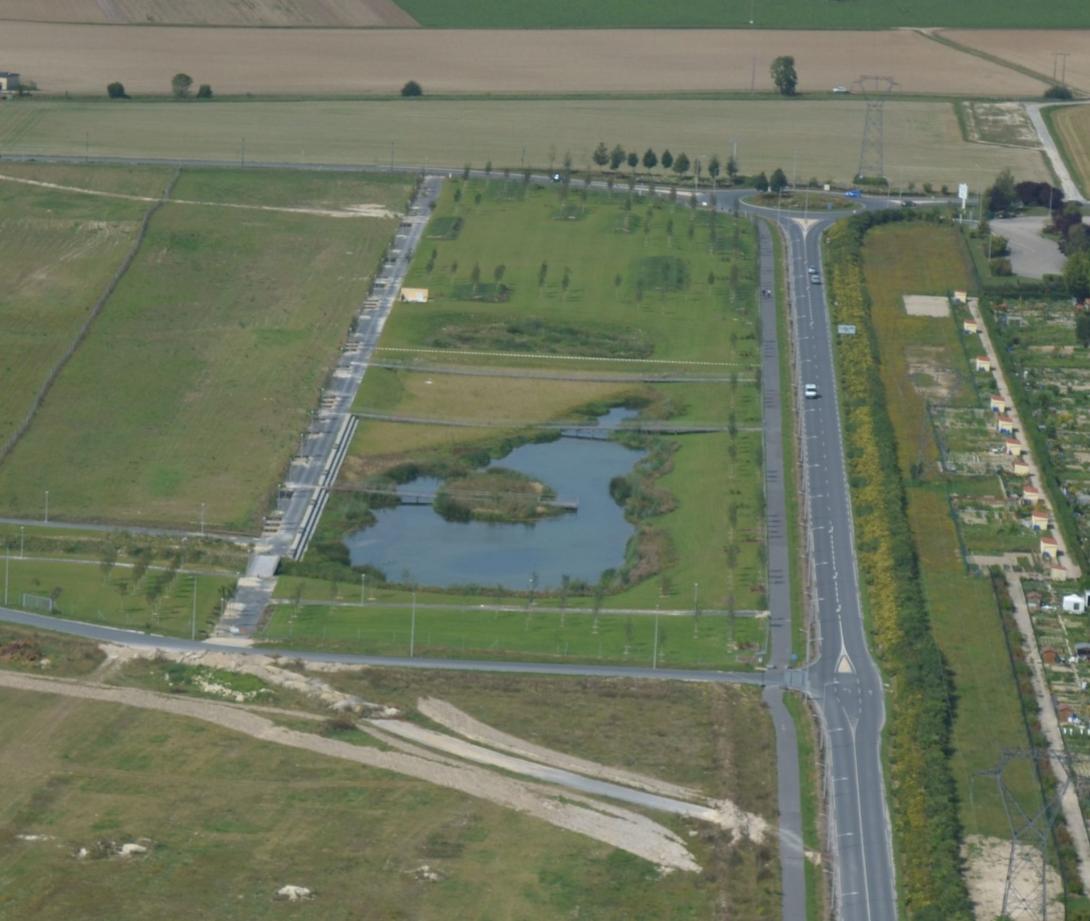
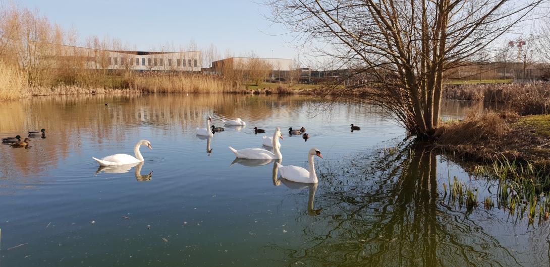
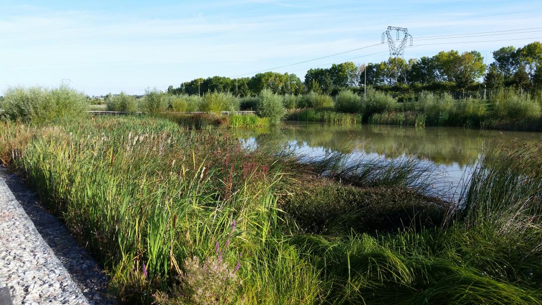
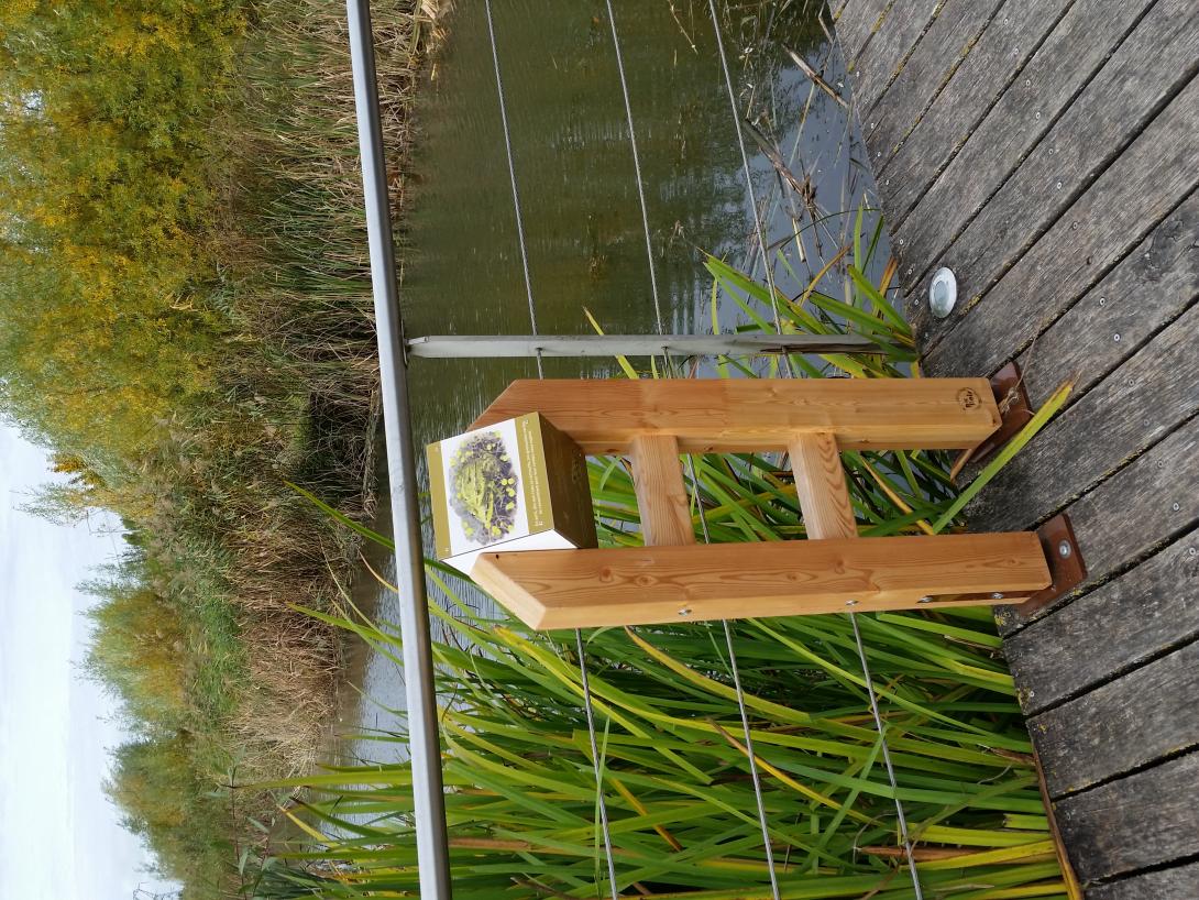
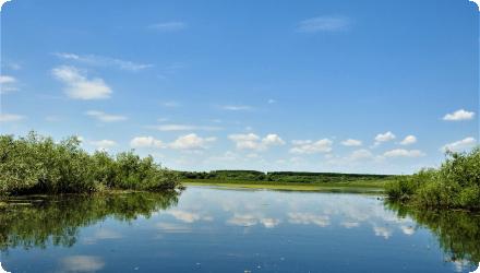
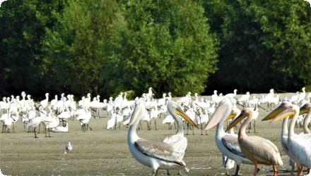
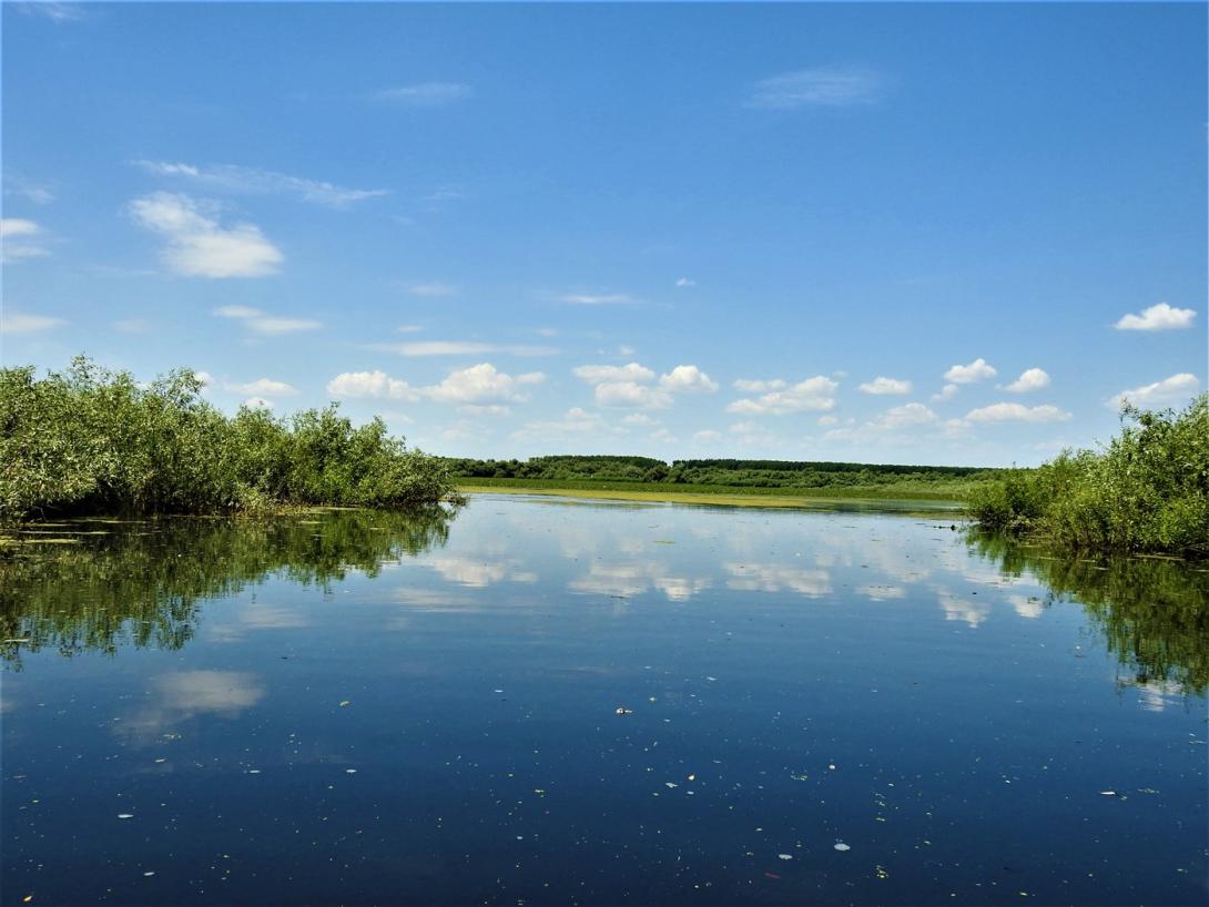
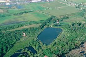
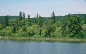
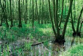
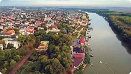
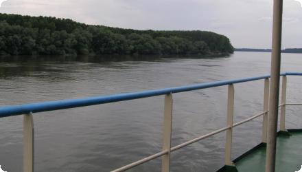
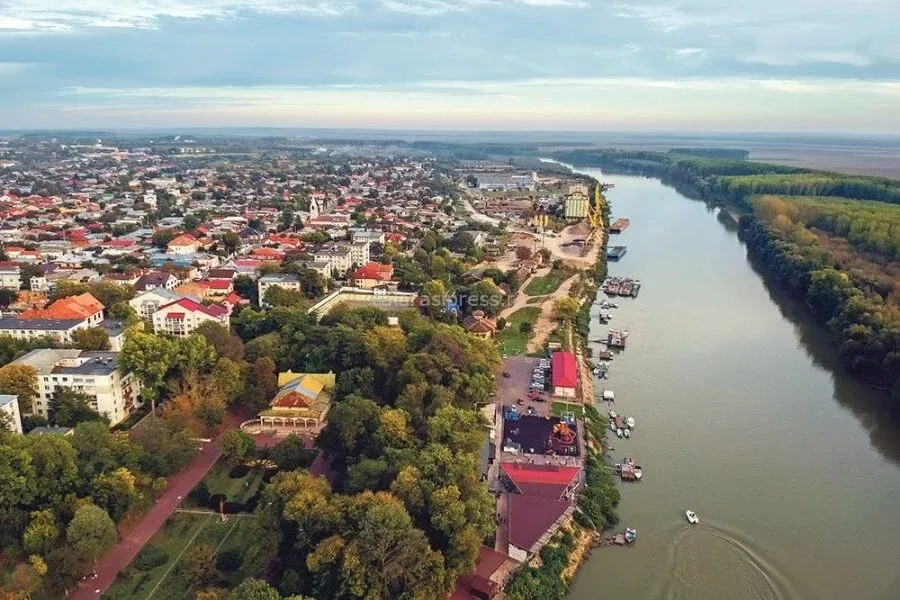
The project aims to secure year-round Danube Commission fairway depths of 2.5 m between Călărași and Brăila, including during low flows. Since 2022 it has been reframed as “BALA II,” a combined navigation–environment scheme led by AFDJ Galați that restores and renaturalises the Bala bifurcation area. The solution raises the Bala bottom sill from 0 m to 6.5 m (MNC), re-activates an old bifurcation branch, and foresees complementary works on the Old Danube reach, in order to stabilise low-water hydraulics while limiting ecological impacts. Key permits and approvals have been obtained: water management approval (June 2022) and an environmental agreement from APM Călărași (Sept 2023). In Sept 2024 the Government approved the project’s techno-economic indicators (HG 1079/2024). Procurement for design and works was relaunched in 2025 (estimated value ~743.8 million RON; 96-month duration). As of August 2025, no award notice is publicly available.
Last update
2025