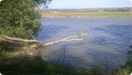
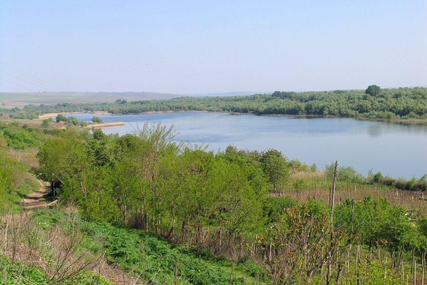
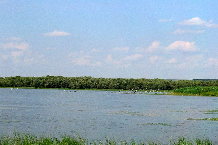
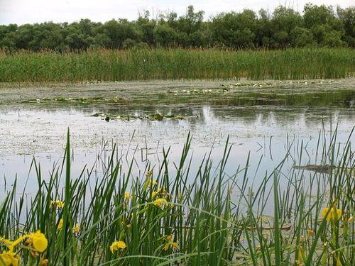
Photo gallery
Summary
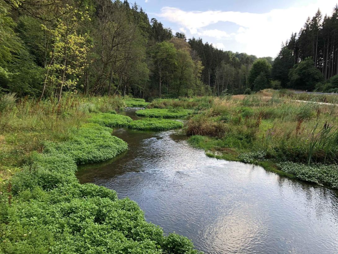
The project’s objective was to improve the conservation status of aquatic bird species in Lower Prut Floodplain Natural Park (Galați County, RO) through scientific inventory, monitoring, site restoration, awareness-raising, implementation of the park management plan, and the designation of Natura 2000 SPAs. Partners were the University of Bucharest, the Romanian Ornithological Society and Romsilva – Galați Forestry.
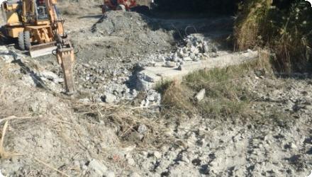
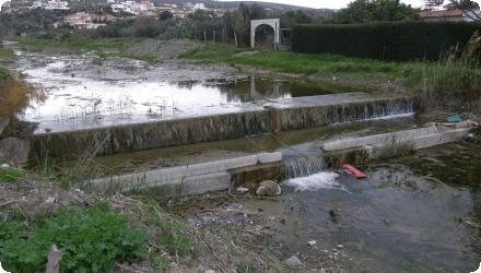
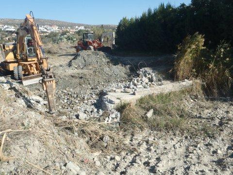
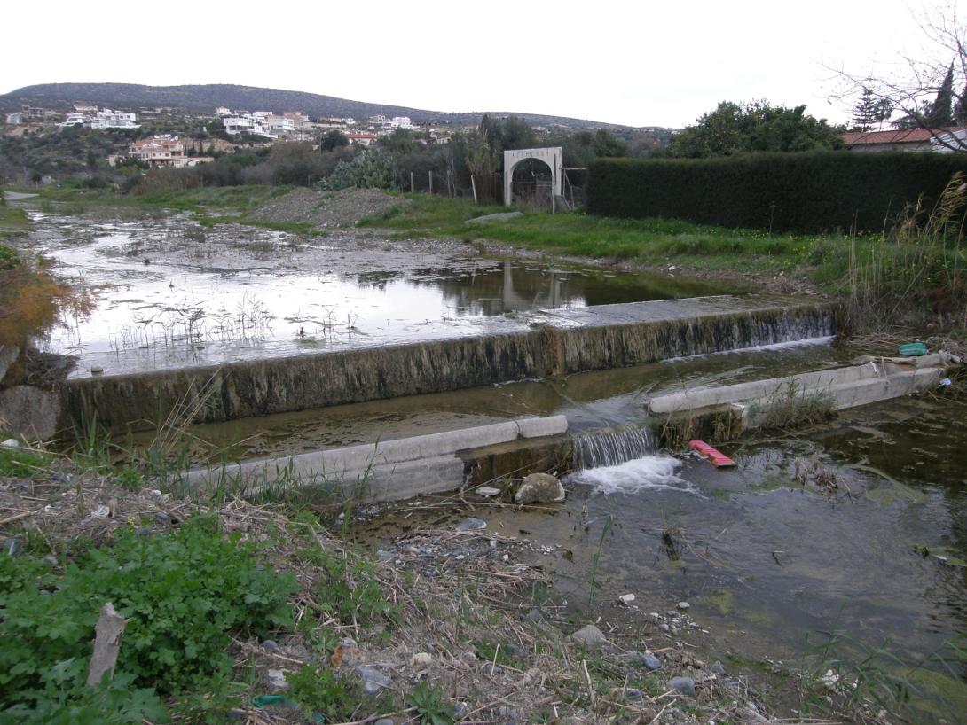
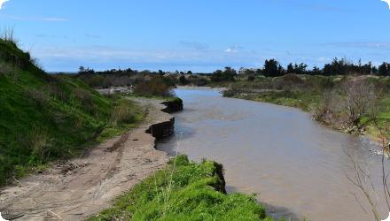
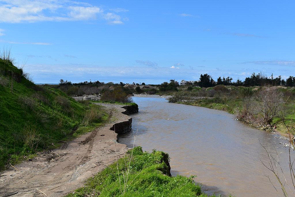
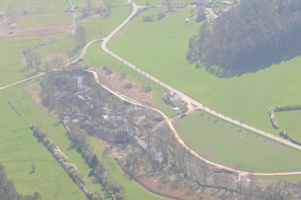
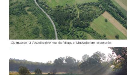
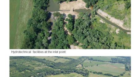
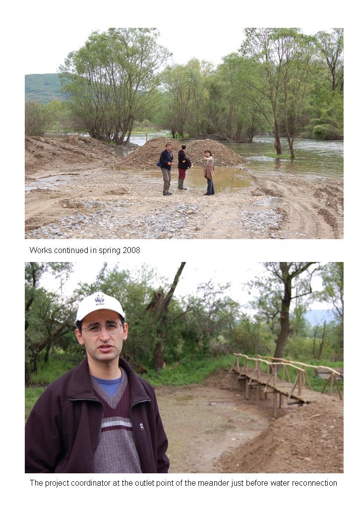
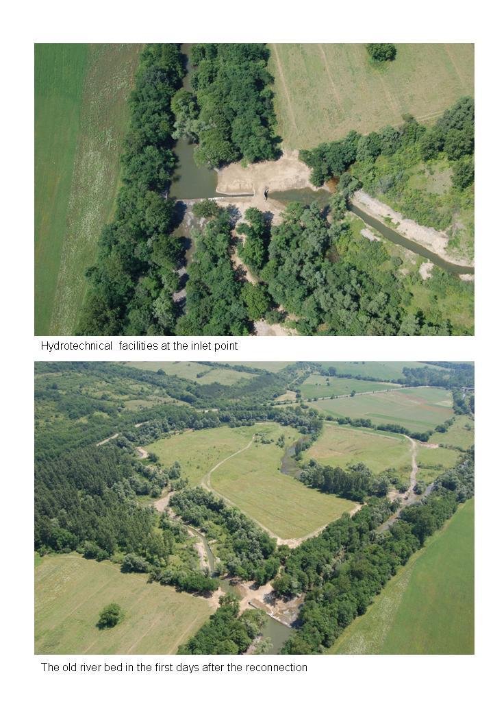
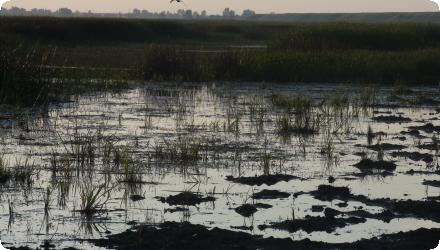
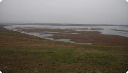
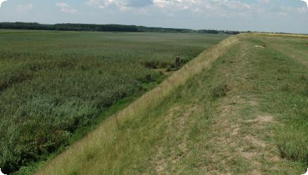
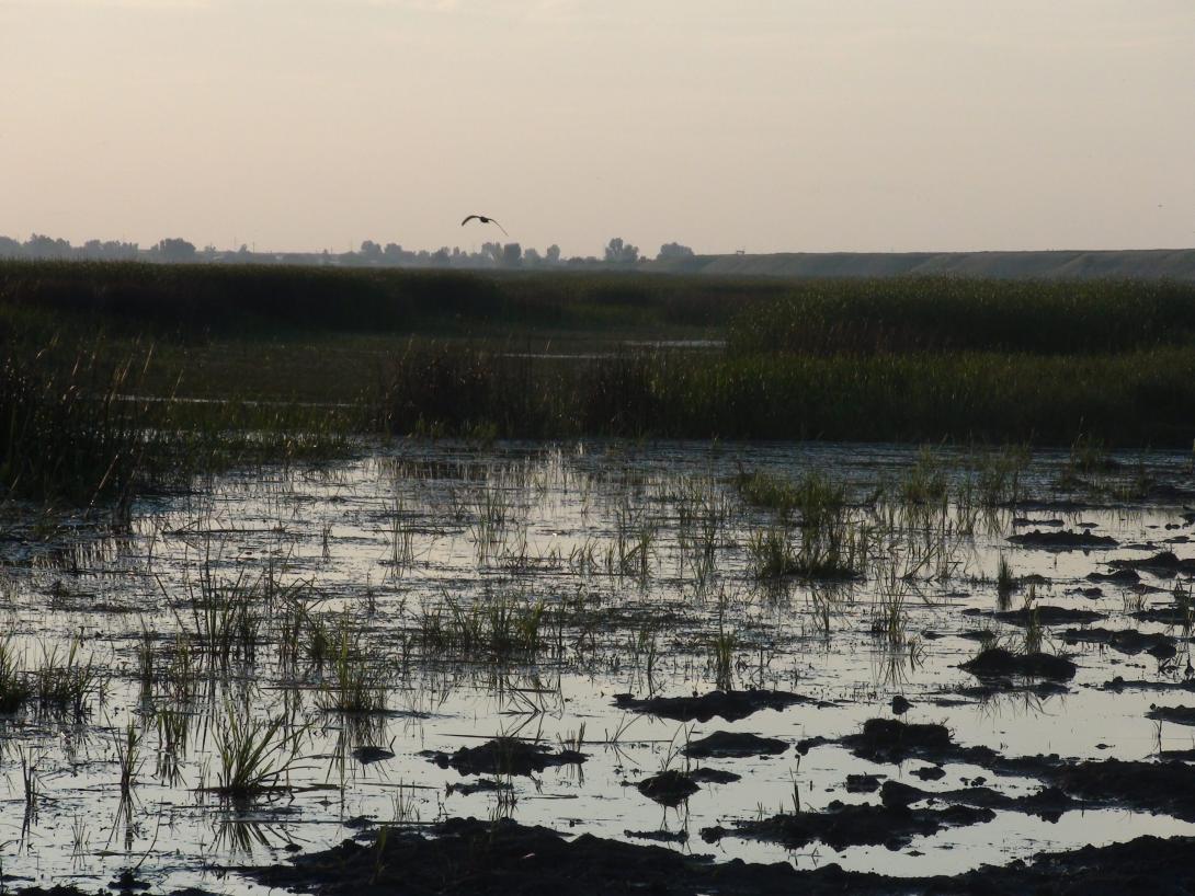
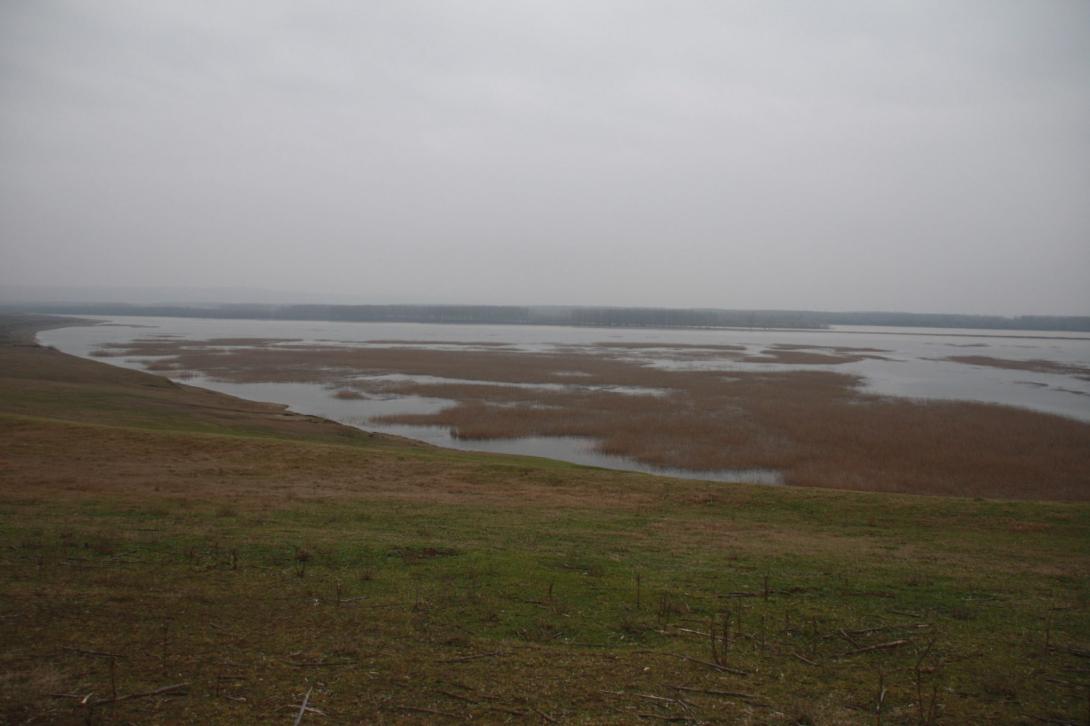
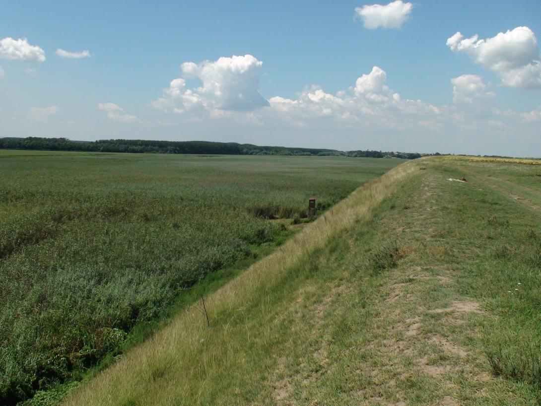
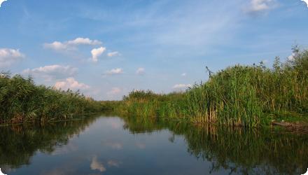
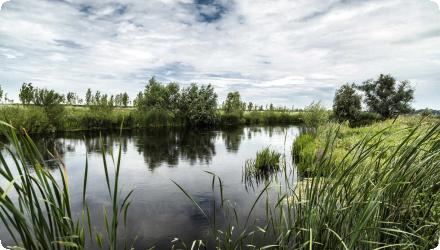
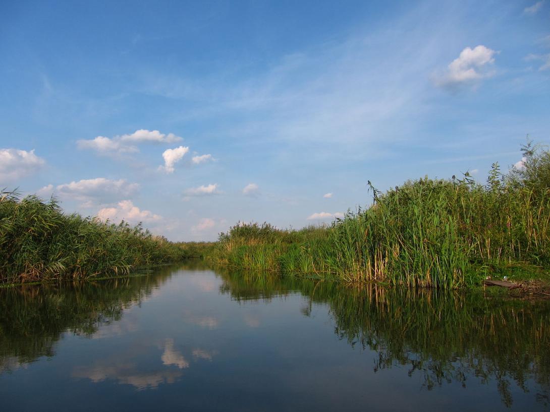
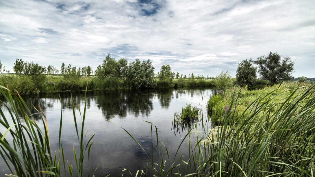
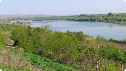
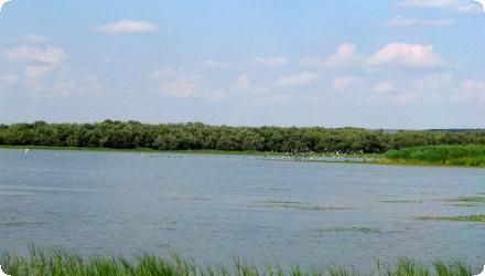
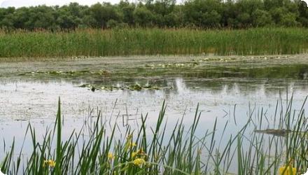
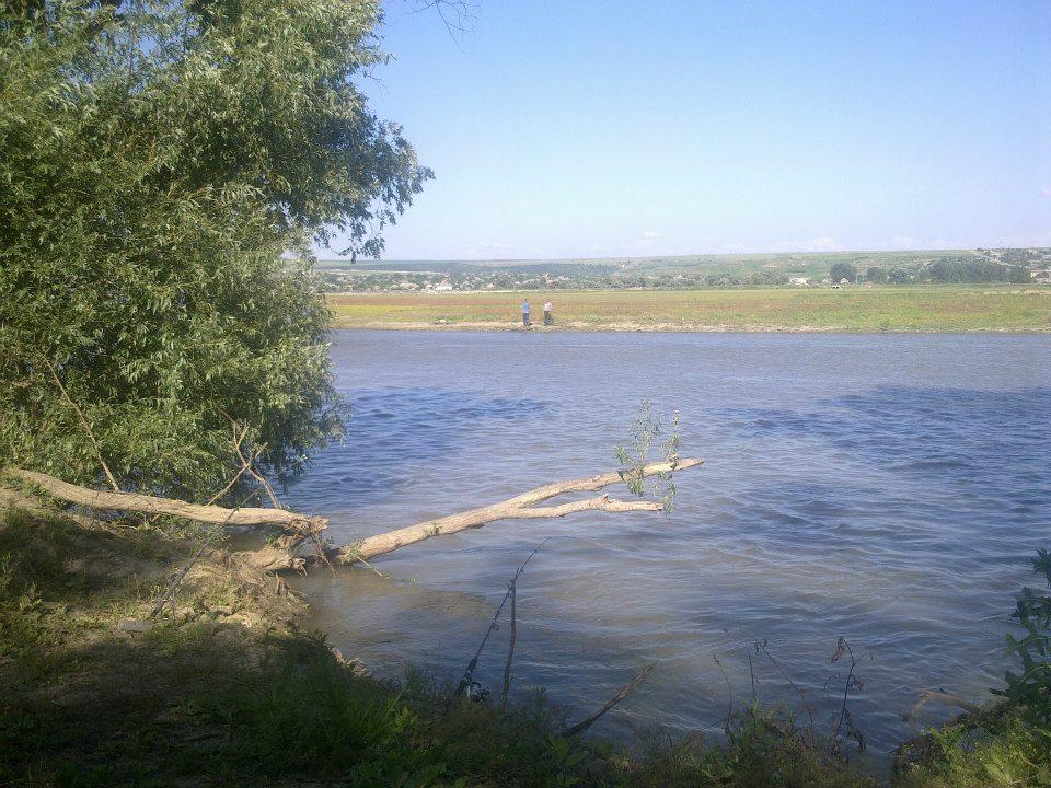
At Vlăscuța, connectivity with the Prut was re-established by de-clogging the access (366 m) and outflow (176 m) channels and installing two sluices to stabilise lake levels; a birdwatching tower was also built here. The site is a national natural reserve (RONPA0433, 41.8 ha) within the Natura 2000 network (park overlaps ROSCI0105 and SPAs including ROSPA0070). Recent management documents confirm these works and facilities.
At Vlăscuța, connectivity with the Prut was re-established by de-clogging the access (366 m) and outflow (176 m) channels and installing two sluices to stabilise lake levels; a birdwatching tower was also built here. The site is a national natural reserve (RONPA0433, 41.8 ha) within the Natura 2000 network (park overlaps ROSCI0105 and SPAs including ROSPA0070). Recent management documents confirm these works and facilities.
Last update
2025