Photo gallery
Summary
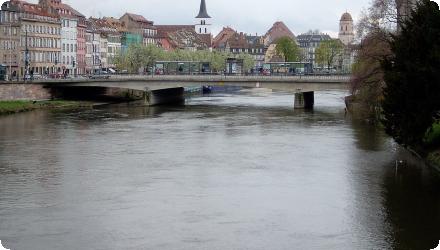
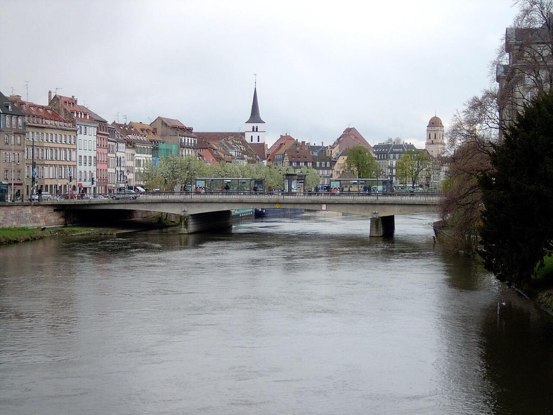
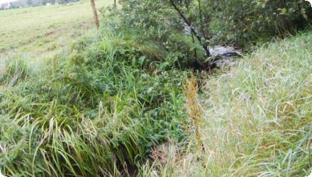
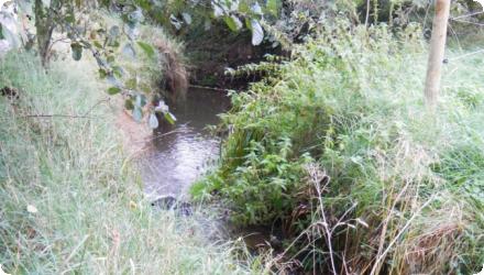
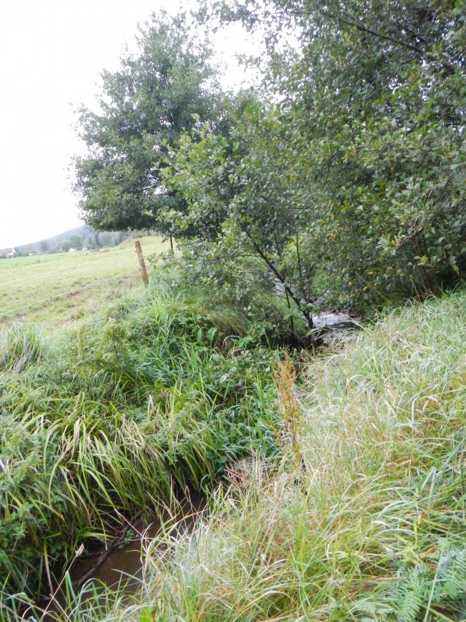
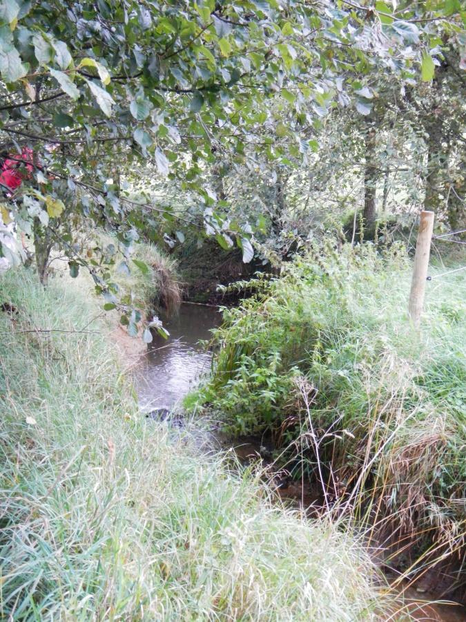
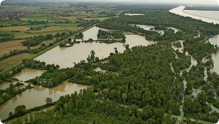
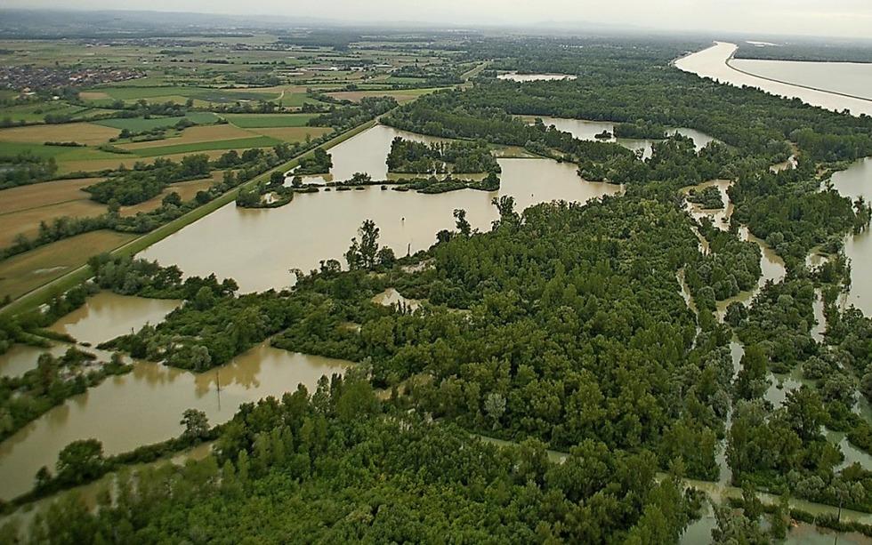
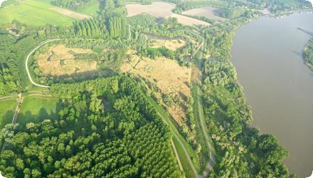
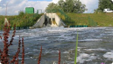
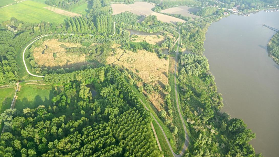
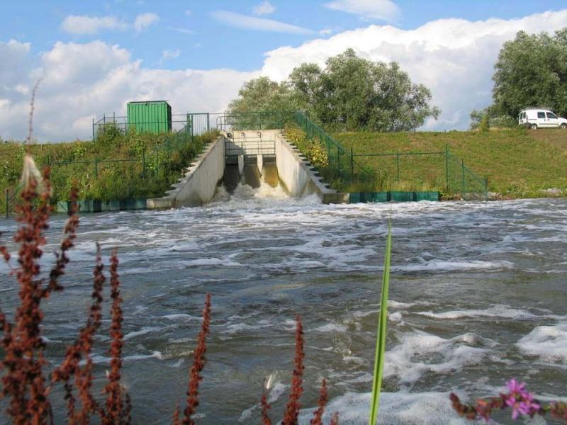
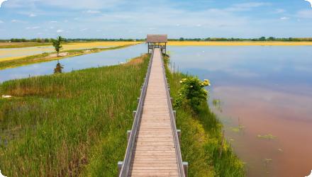
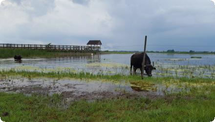
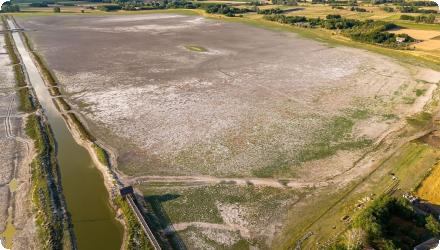
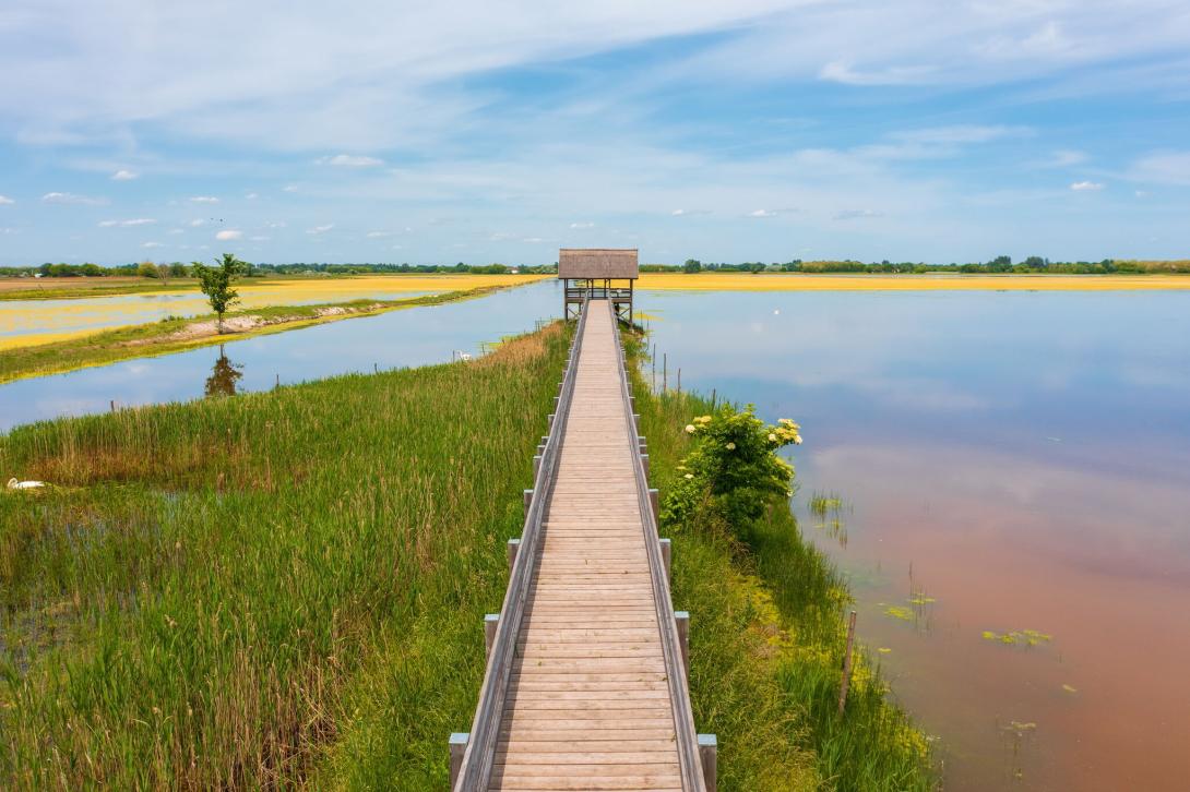
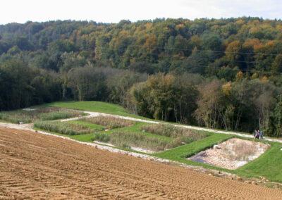
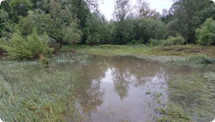
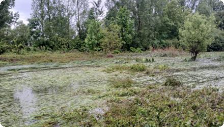
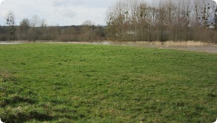
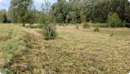
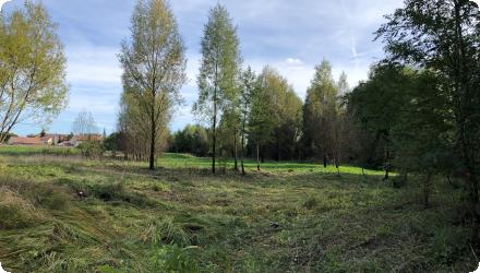
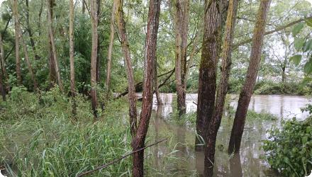
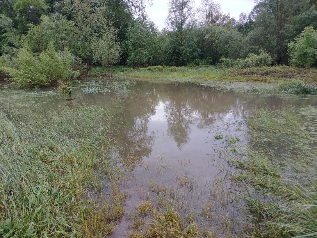
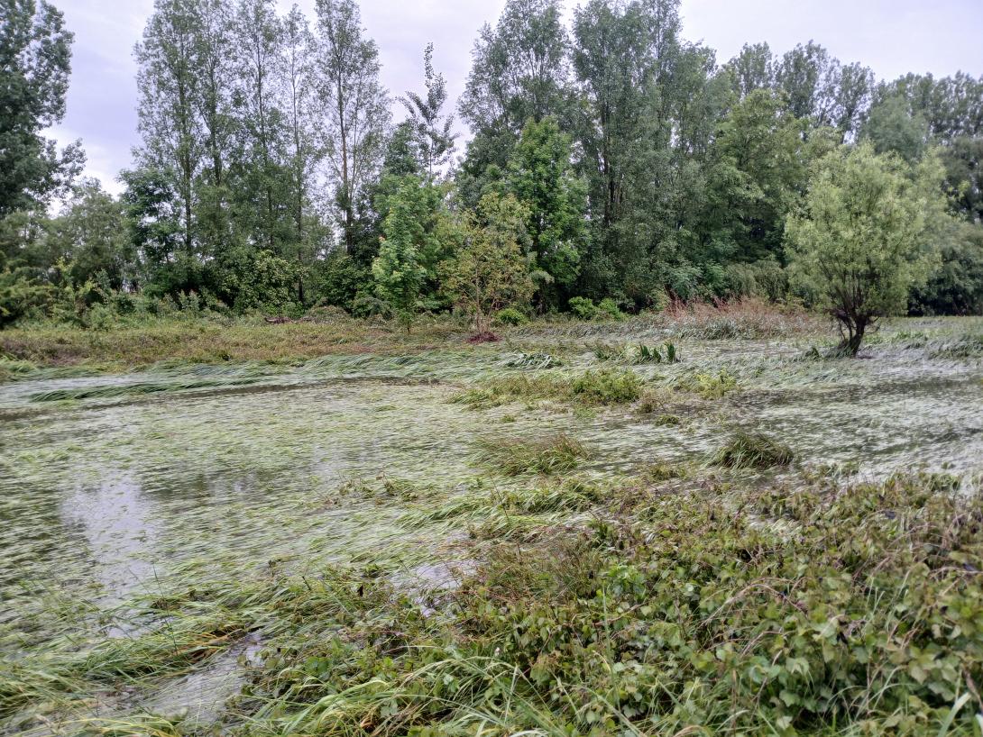
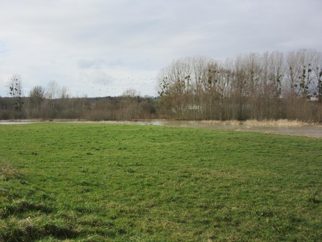
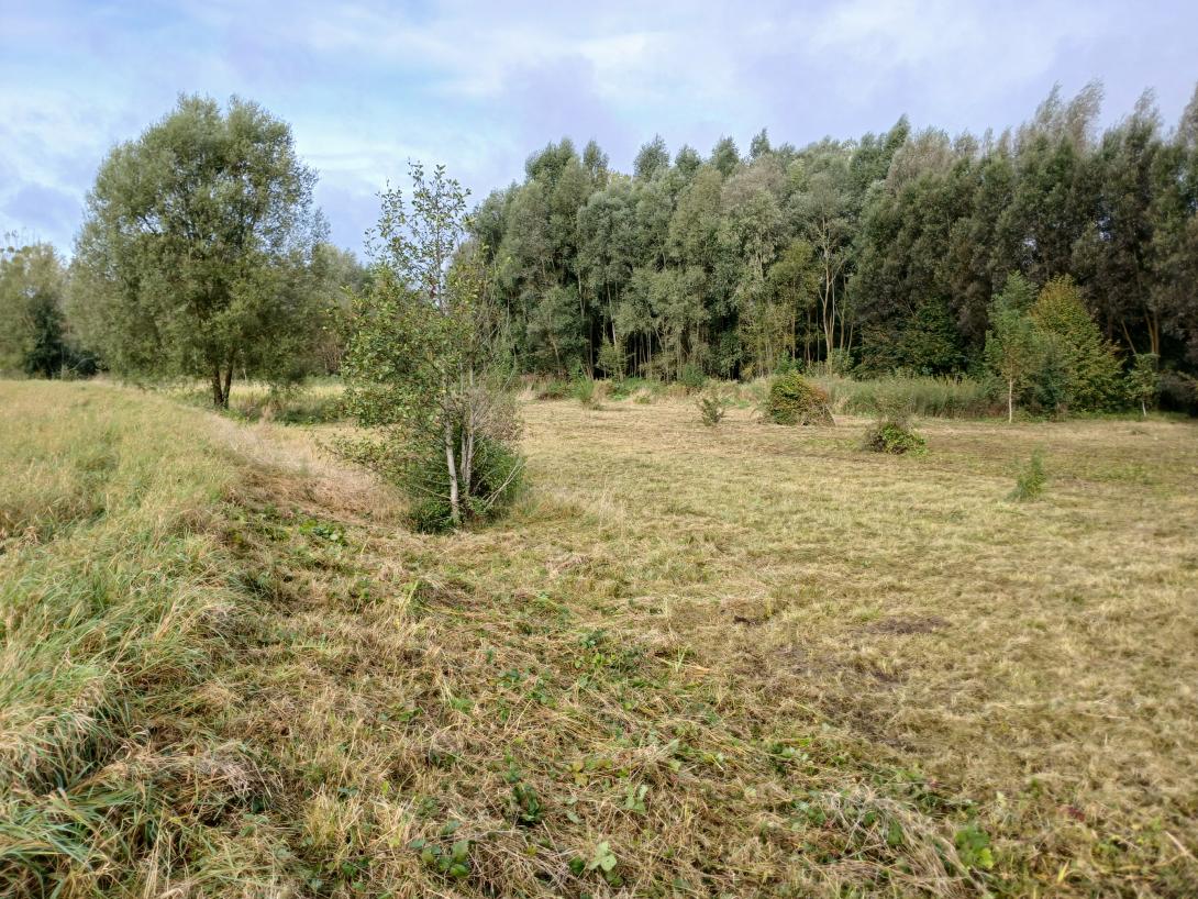
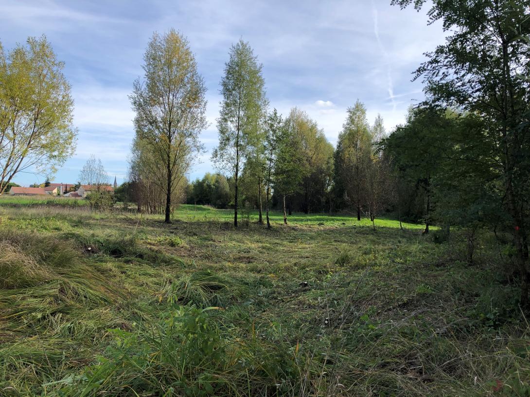
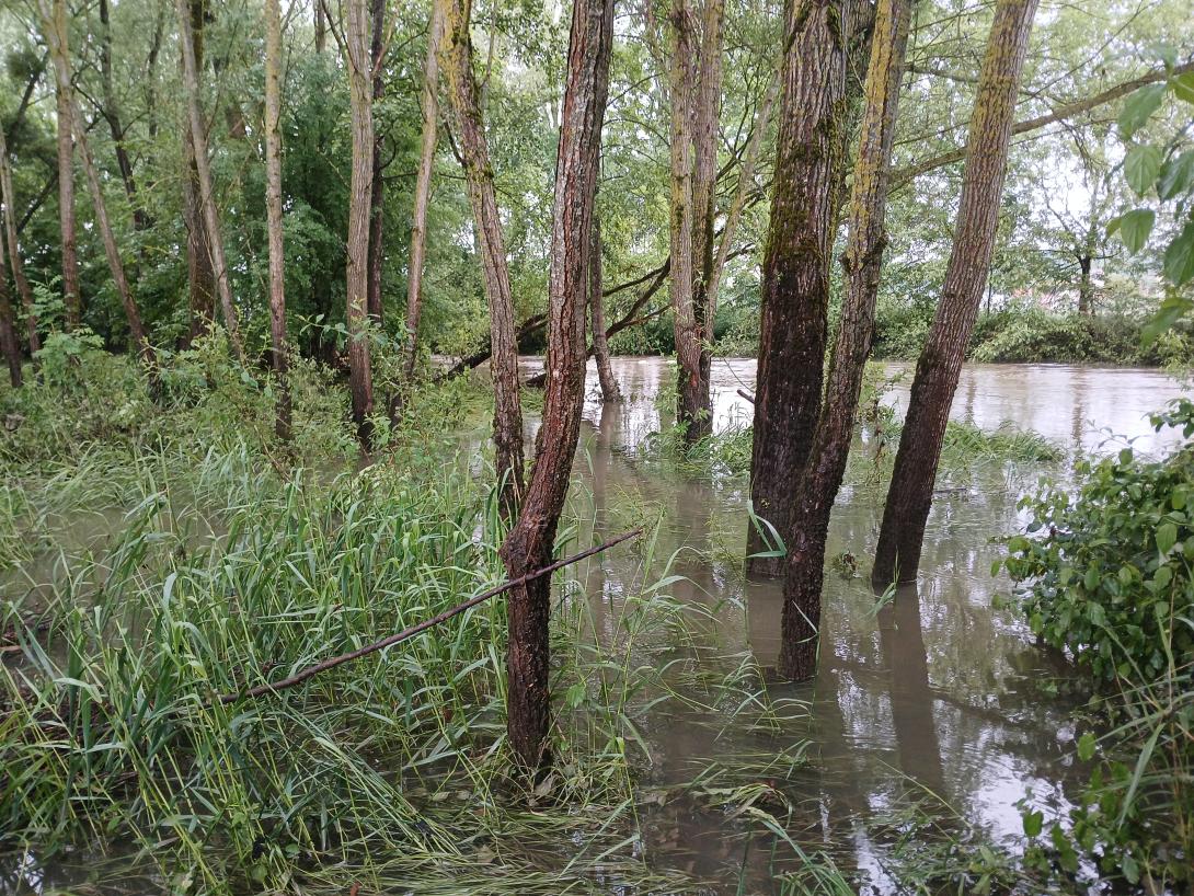
The 75 km-long Vezouze river regulary overflows, leading to increasingly violent floods especially in the urbanized sector of Lunéville, worsen by the degradation of the natural river bed upstream. After the violent 1983, 1998 and 2004 floods, the local municipalities launched restoration work to reduce the impacts of future floods. It involved widening parts of the riverbed by leveling a levee on the left bank. Two one-meter-wide flood channels were excavated over six hectares, creating 60,000 m³ of cleared material. Wetland habitats like ponds and side channels were established, with trees and helophytes planted.
Last update
2025