Completed

Summary
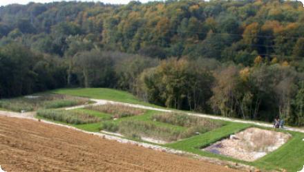
The project applied an eco-remediation methodology at the Dobrava landfill (Municipality of Ormož, Slovenia) in the Pannonian lowlands. It aimed to demonstrate a green technology that reduces landfill impacts through a closed hydrological and pollution cycle, complementing and exceeding legislation. The Limnotop approach combines a dense, high-evapotranspiration woodland cover as a water barrier with recirculation and a constructed wetland for leachate treatment, to protect surface and groundwater.

Since project completion, the landfill has been permanently closed to additional landfilling and reconstructed; the constructed wetland remains in operation for leachate treatment (as confirmed by site managers). Post-LIFE, the site has been under operational monitoring by the authorities. In 2019 the environmental permit required additional leachate treatment, and a 2020 municipal plan considered routing leachate to the Ormož wastewater treatment plant to complement the wetland. A separate collection/transfer center now operates adjacent to the closed landfill. Overall, the case shows long-term use of nature-based treatment integrated with closure works, with upgrades pursued to meet current standards.
Last update
2025
Summary
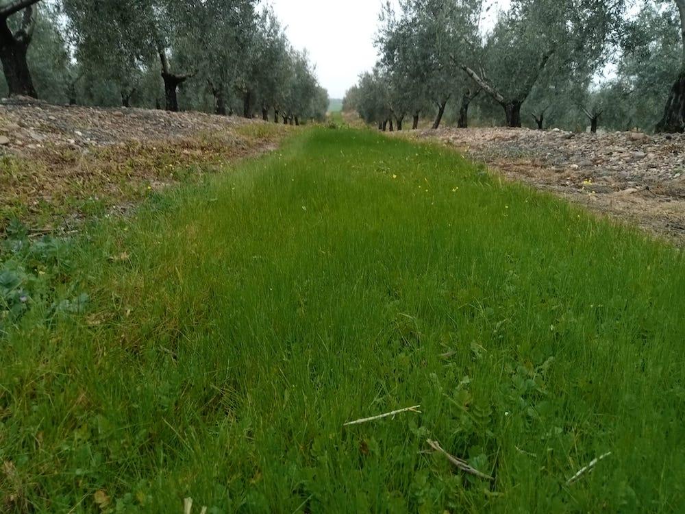
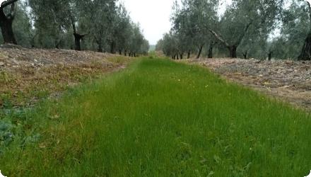
“La Conchuela” is a commercial olive orchard located about 10 km west of Córdoba, Andalusia, near the A-431 road. Over seven years, it served as a long-term experimental site to assess alternative soil management practices (specifically no-tillage and temporary spontaneous cover crops) to reduce soil erosion and runoff. Results showed that these practices significantly improved soil moisture retention, reduced erosion, and enhanced biodiversity, without compromising yields.

More recent studies confirm and expand these findings. Spontaneous cover crops have been shown to enhance carbon sequestration (up to 642 kg C ha⁻¹ yr⁻¹), nutrient retention (N, P, K), and support vegetation diversity. Ongoing research highlights their contribution to maintaining soil organic carbon and resilience under drought conditions, which are increasingly frequent in the Guadalquivir basin. The site is also referenced in broader Andalusian initiatives promoting regenerative olive farming, including the Living Lab Andaluz launched in 2024 to monitor soil health across olive groves in the region.

This case illustrates the long-term viability and scalability of green cover and no-tillage practices in Mediterranean tree crops, especially on rolling terrain vulnerable to erosion.
Last update
2025
Summary
Hermance is a French–Swiss transboundary river. Since 2006, within a cross-border river programme led by SYMASOL with support from the Canton of Geneva, restoration has re-meandered the channel, widened the mouth, renaturalised the bed and banks, replanted riparian vegetation, and used the Mermes marsh as flood-storage via a retention pond ; reducing flood risk for ~100 homes and reconnecting people to their river with a riverside path (opened in 2017). More recent records show the programme extended in phases through 2016–2017, reaching ~3 km of restored river in Veigy-Foncenex, with a total budget reported at €2.5 M (excl. tax). Cross-border works included the 2010 renaturation of the Pont-Neuf–Pont-des-Golettes reach and the 2011 revitalisation of the river mouth. Complementary lacustrine actions created/reinforced reedbeds on the French shore at Chens-sur-Léman (2012, 2016). Flood-risk management was strengthened upstream by a ~12,000 m³ flood-retention basin. Ongoing follow-up includes a 2021 hydrological/hydraulic review of the Hermance dams in Veigy-Foncenex to check performance and safety. Overall, the project combines flood protection, ecological recovery and public amenity at a transboundary scale.
Last update
2025
Summary
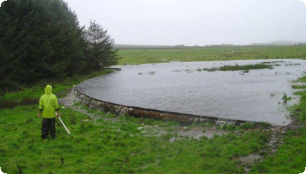
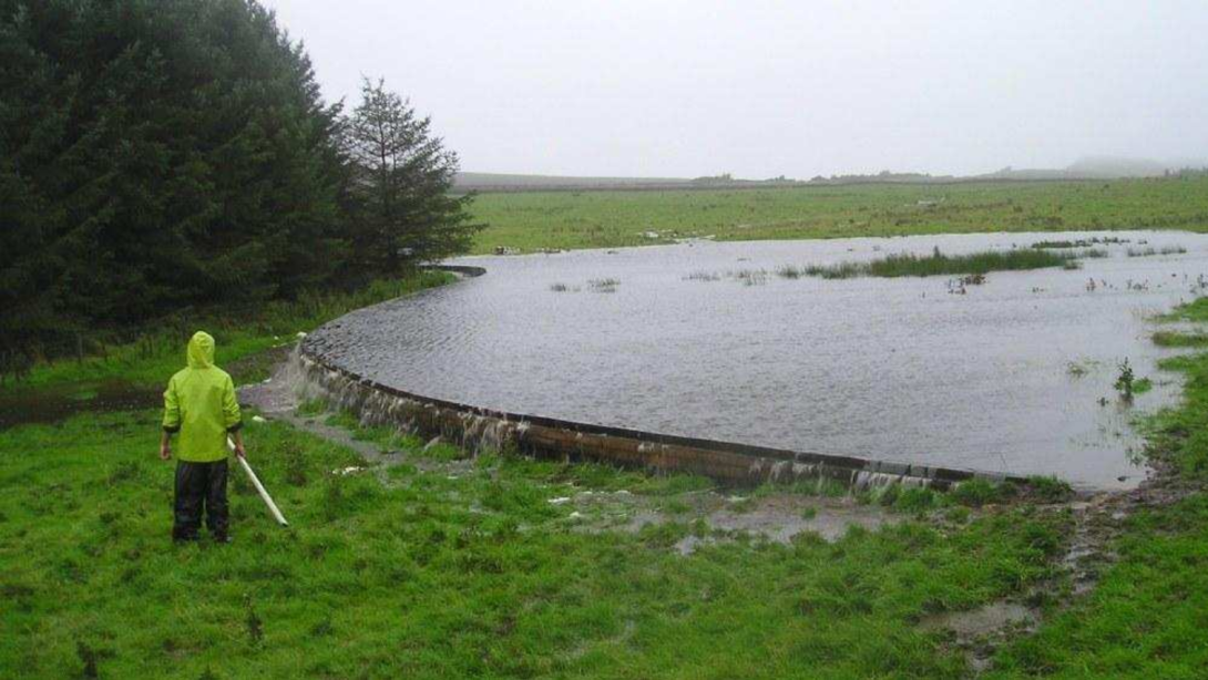
Measures to attenuate runoff were installed in the small Belford catchment, in northeast England, in order to reduce the risk of flooding to the village downstream. The installations involved a network of small measures to capture and delay runoff from the rural catchment, including detention basins and overland flow features, as well as sediment capture measures to improve water quality.

However, since the implementation, the features were not maintained by the landowner, and have been then decommissioned. The measures that were implemented are no longer functional.
Last update
2025
Summary
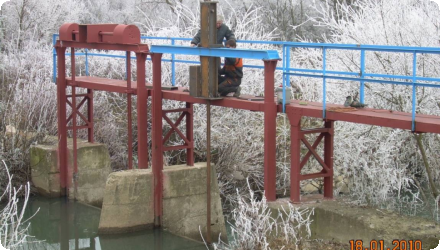
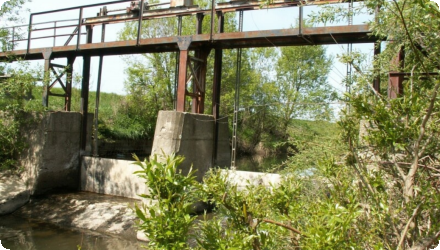
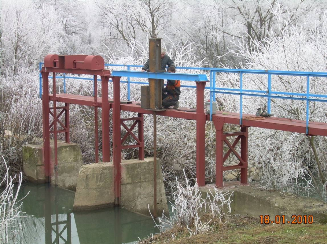
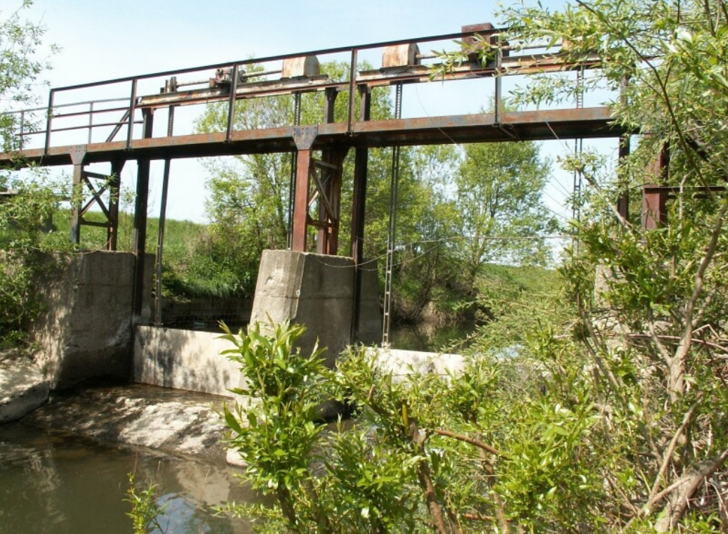
Originally implemented under the UNDP/GEF Tisza MSP, the measure rebuilt an existing floodgate at the confluence of a drying bypass channel and the Žiarovnický stream in the Senné depression (Bodrog basin). The gate enables gravity supply to the Senné fishponds NNR in dry periods and during floods, and reduces discharges to the Stretávka pumping station. It was financed by the Global Environment Facility and delivered by Global Water Partnership Slovakia with local authorities.
Since then, complementary works have expanded upkeep and control of the small-hydraulic network. A LIFE project for the Senné & Medzibodrožie SPAs restored water-level control via gates/sluices and dyke repairs, improving the hydrological regime around the ponds and Ostrovik meadows.
Most recently (2020–2023), SOS/BirdLife Slovakia repaired/maintained ~1.69 km of dikes and ~2.17 km of supply canals and improved the water regime across ~814 ha; managers now manipulate existing stavidla annually to sustain wetland habitats. These actions and targets are embedded in the 2022 Care Programme for the SPA.
Last update
2025
Summary
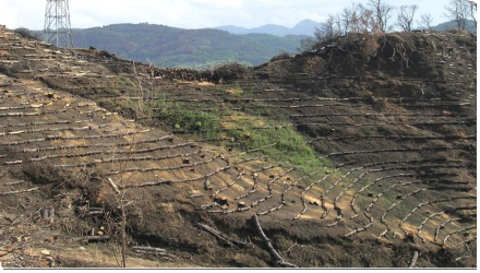
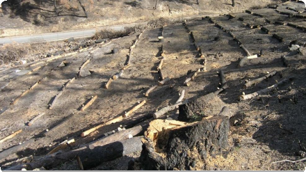
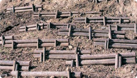
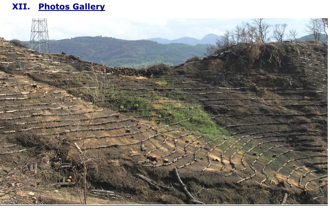
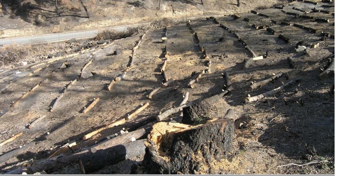
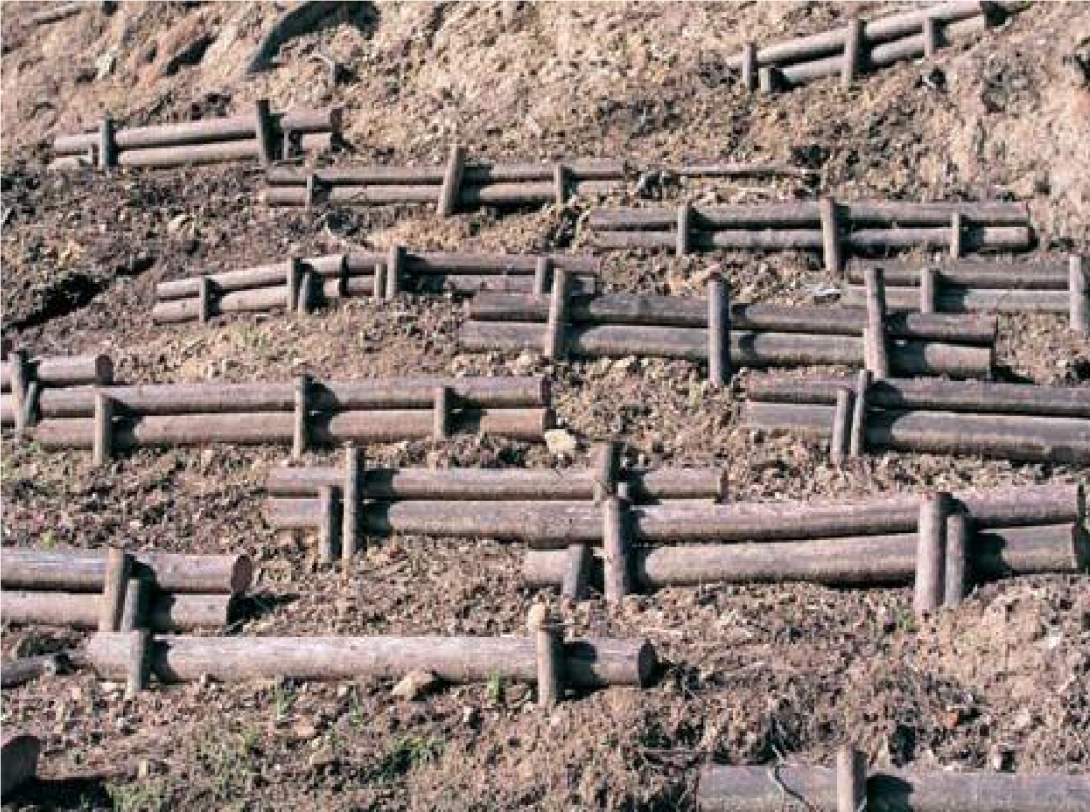
The project focuses on post-fire water retention management in the broader area of Ancient Olympia, Elia, Peloponnese, Greece. It involves afforestation of mountainous areas and the temporary installation of wooden structures using locally available timber to retain water, stabilize slopes, and reduce erosion. These natural measures aim primarily at flood control and risk mitigation, with secondary benefits for biodiversity conservation.

Recent scientific studies (2022–2025) have confirmed the effectiveness of these interventions. Field measurements showed that post-fire treatments in Olympia significantly improved soil infiltration capacity, up to 300% higher in deposition zones compared to eroded ones two years after implementation. Satellite-based erosion models (using Sentinel-2 and RUSLE) also indicated a sharp increase in soil erosion after wildfires, which was partly mitigated by restoration works that reduced erosion rates by approximately 18%. These findings demonstrate the long-term hydrological benefits of such nature-based solutions under Mediterranean conditions.

Key success factors remain the strong engagement of decision-makers, the willingness of local stakeholders, positive public perception, and the availability of expert knowledge and tools. The project is an example of adaptive, evidence-based post-fire watershed management in a culturally and environmentally sensitive region.
Last update
2025
Summary
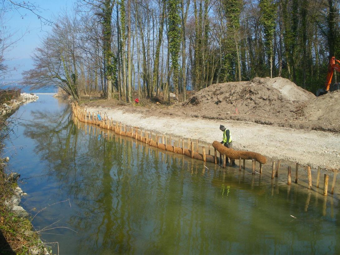
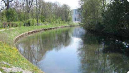
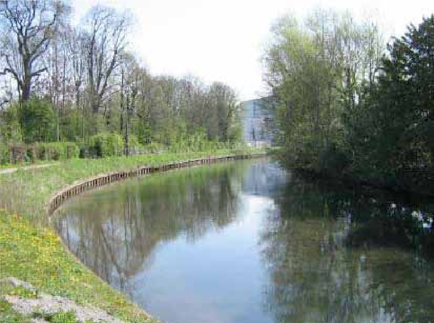
The Scarpe in Arras (long canalised) was renatured (2009–2012) to balance navigation, recreation and ecology. Actions included removal of sheet piling, gentle bank reprofiling, mixed bio-engineering (hemp bundles, vegetated geonets, gabion mattresses where needed), riparian restoration (invasives removal, seeding, pollarded white willows), controlled access, and creation of a lagoon.
The project treated 1,760 m of banks and built two reedbeds (≈1,000 m² and 1,450 m²). In the same programme, a 1.4 ha pike spawning area at Fampoux was re-opened and reconnected to the Scarpe. Governance shifted in 2012 via a VNF→Arras Urban Community (CUA) convention; FDAAPPMA 62 manages the spawning sites. Baseline surveys were done in 2010 with a five-year follow-up planned.
Total cost €1,321,310 (studies €132,277; works €1,189,032), co-funded by Artois-Picardie Water Agency 51%, ERDF 48%, CUA 1%.
The reach remains actively managed. In 2022 the environmental authority (MRAe) reviewed a 10-year dredging plan (~180,000 m³) to secure a 1.65 m navigation draft, notably around the Saint-Laurent-Blangy water-sports base, and requested stronger WFD compliance, better fish/European eel assessment, and a catchment-scale response to upstream sediment inputs. Together, the restoration and ongoing management aim to diversify habitats while keeping the canal’s socio-economic uses.
Last update
2025
Summary
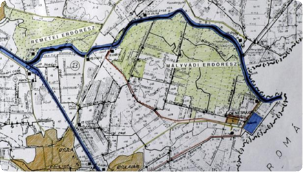
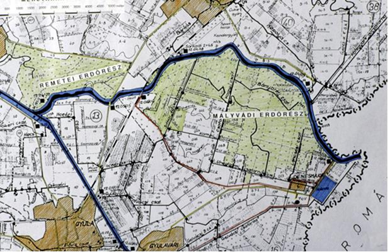
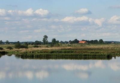
The Körös-ér catchment lies in a drought-prone part of Hungary and is a heavily modified water body with nutrient inputs from urban and agricultural sources. Recurrent water-logging causes temporary flooding in spring and after cloudbursts. To address both extremes (floods and shortages) the water directorate upgraded control structures, reconnected ~2.5 km of former floodplain at the estuary, improved sluices to allow retention while clearing bottlenecks for flood conveyance, increased urban drainage capacity (via a closed conduit), and added an upstream retention pond. Since completion (2011), management has shifted toward active small-water retention: today water is stored at three points along the Körös-ér - at the mouth (0+000), at 5+850 (betétpallós gate), and at 16+675, where DINPI built a retention structure in 2022 with a lateral sluice and ditch to inundate low-lying grasslands, boosting retained volumes and waterfowl habitat (boards are removed at high water; overtopping is possible). In 2025, under the “Vizet a tájba / Water to the Landscape” programme, managed in-channel storage and controlled inundation were also implemented near 22+884 (≈14 ha, ≈46,000 m³). Fish from the Tisza have re-appeared in reaches previously isolated.
Last update
2025
Summary
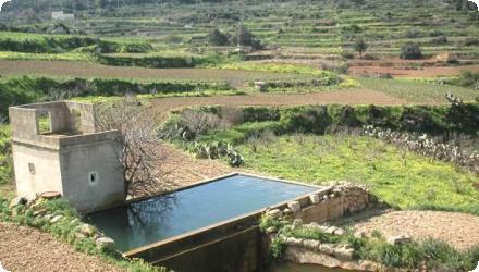
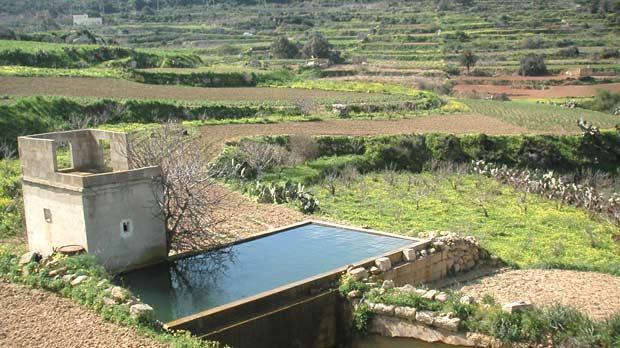
Aquifer recharge with highly polished treated effluents. With a high population density and almost no surface waters, Malta faces chronic over-abstraction: total demand exceeds the sustainable yield of naturally renewable freshwater. Demand comes from domestic and agricultural uses (domestic peaks can exceed agriculture during the tourist season). Groundwater quality is threatened by nitrates and seawater intrusion.

A pilot at Bulebel (2010–2013, MEDIWAT) tested injection of ultra-polished reclaimed water via an injection well under strict quality monitoring. Since then, Malta has pursued MAR within a broader strategy: the EU MARSOL demonstrator (2013–2017) designed an injection-well barrier near the Malta South plant (Ta’ Barkat) to counter seawater intrusion; the national New Water programme is expanding reclaimed-water production (~7 Mm³/yr capacity) and distribution for agriculture, creating seasonal surpluses that can supply MAR. Under the LIFE-IP RBMP (2021–2027), Action C8 is developing a pilot MAR scheme in the Pwales coastal groundwater body using reclaimed water when irrigation demand is low; a 2024 hydrogeological study characterised Pwales to support MAR design.
Last update
2025
Summary
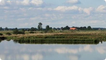
The Holter-Hammrich project combined several natural water retention measures: floodplain restoration, meadow and pasture rehabilitation, and reduced tillage. Located in north-west Germany within the Weser river basin (DE4000), it supports Lower Saxony's otter and wetlands protection programs and contributes to WFD goals. Since its implementation, the 240 ha flood retention polder—activated in 2011—has enhanced flood protection and become a key habitat for over 60 bird species and other wildlife, including the returning European otter. It now also serves educational and recreational purposes, with a 7 km nature trail and observation points. The project stands out for its integration of ecological, hydraulic, and public engagement goals, achieved through multi-stakeholder cooperation involving environmental agencies, water managers, local authorities, and farmers.
Last update
2025