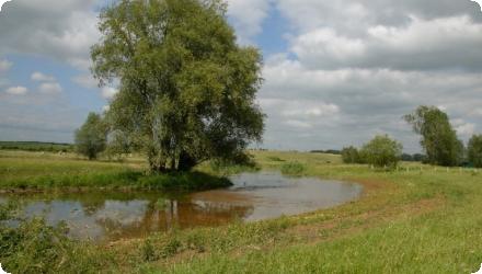
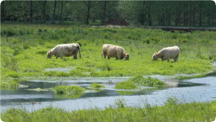
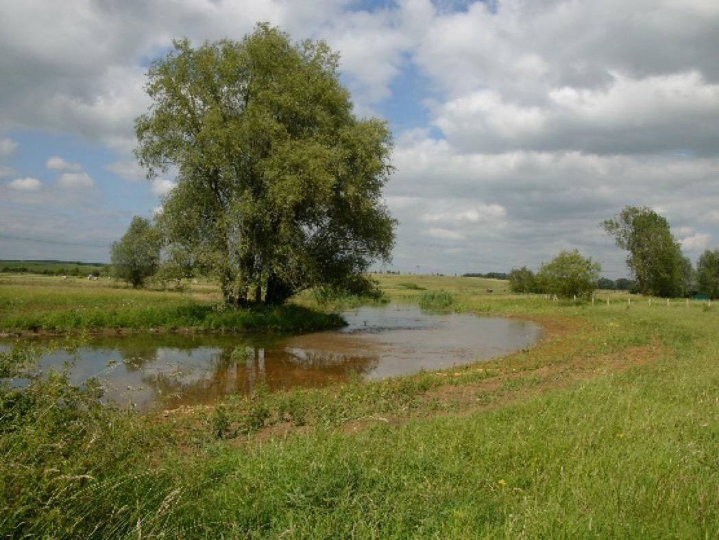
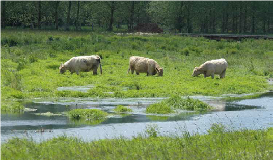
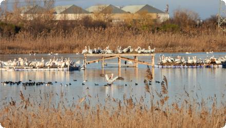
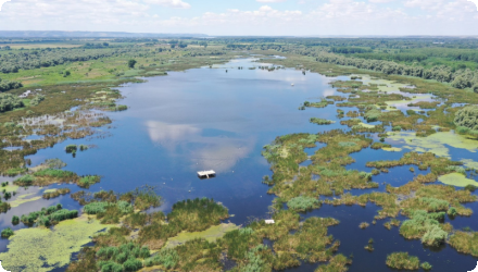
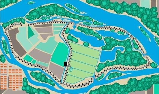
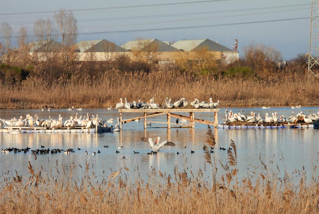
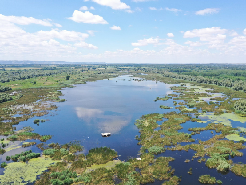
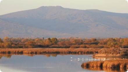
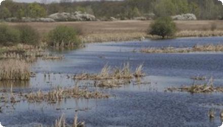
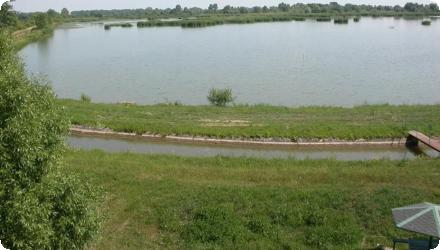
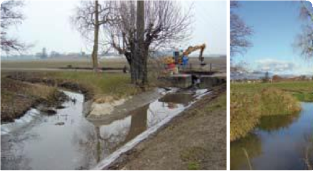
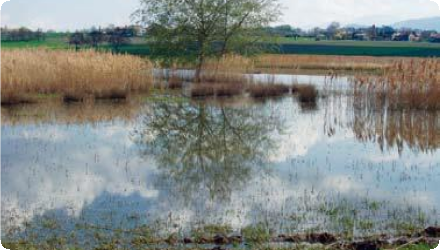
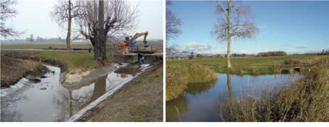
Photo gallery

Summary
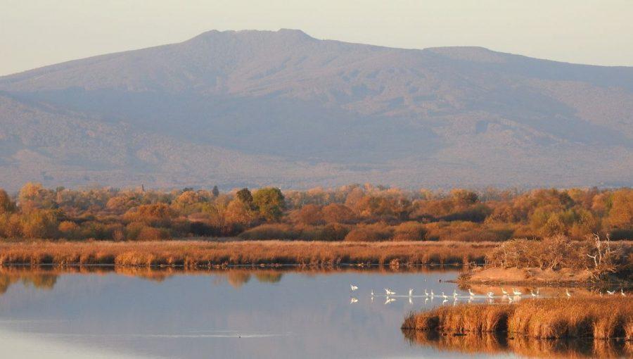
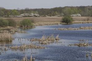
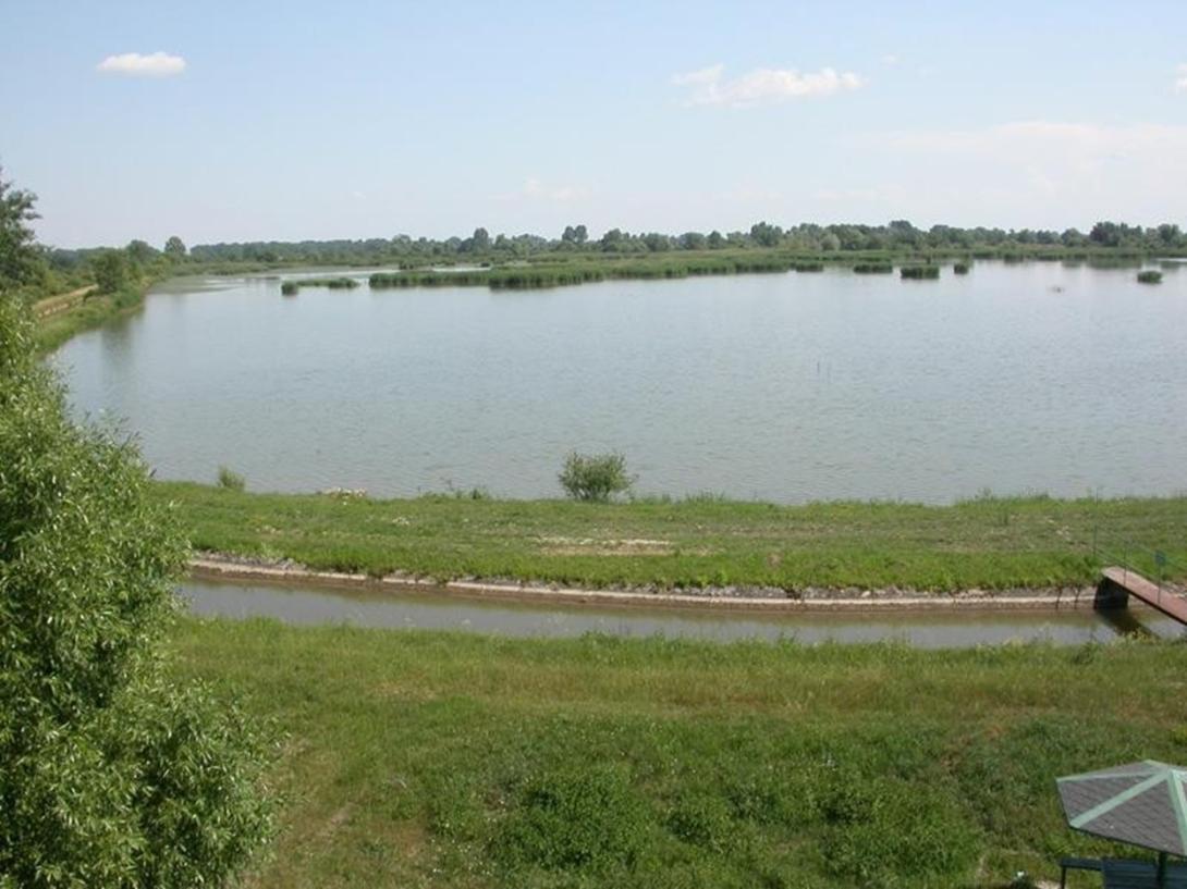
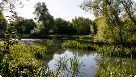
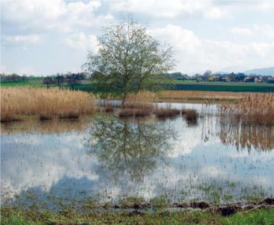
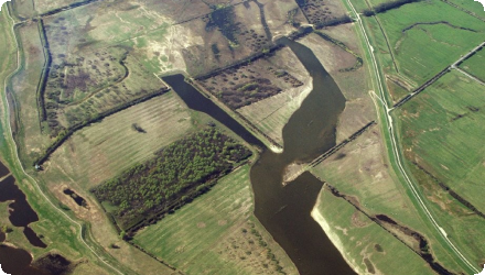
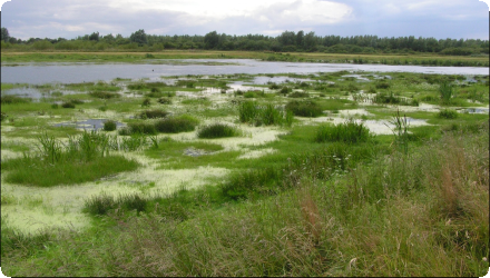
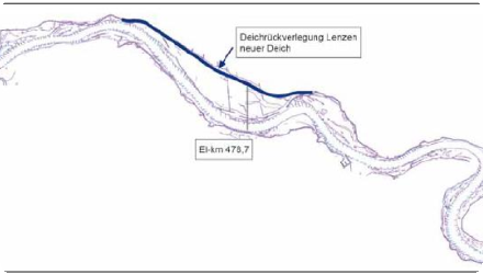
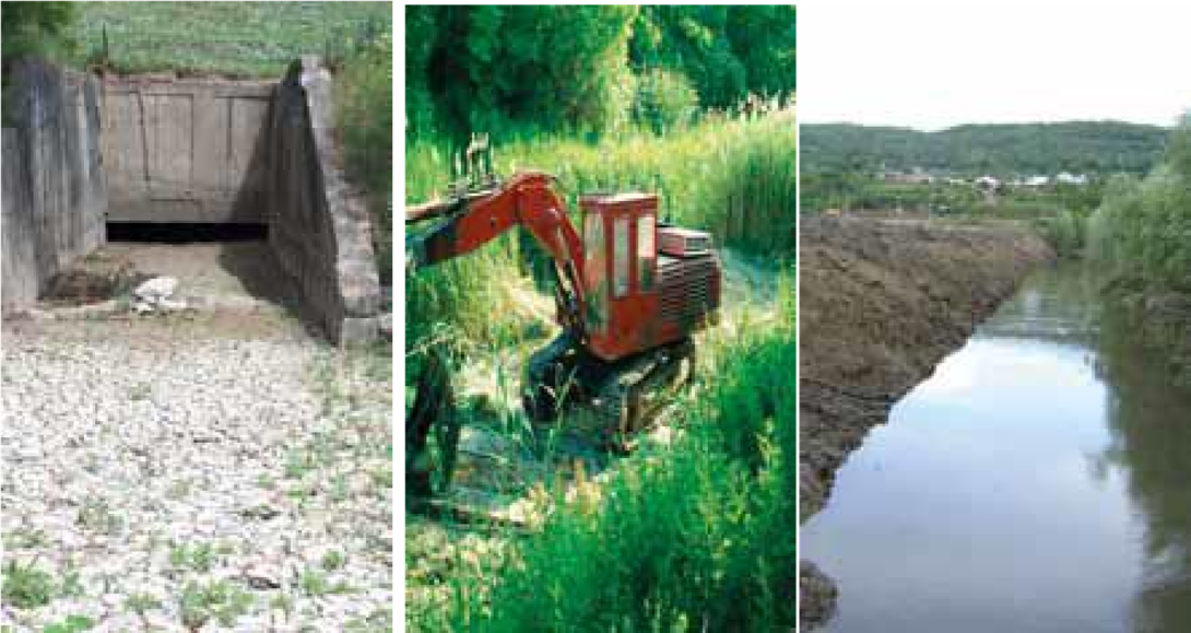
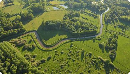
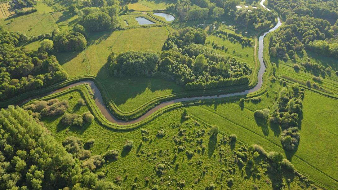
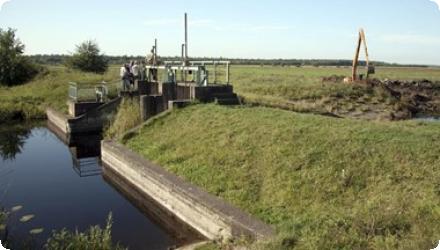
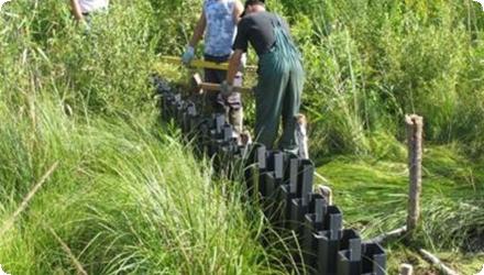
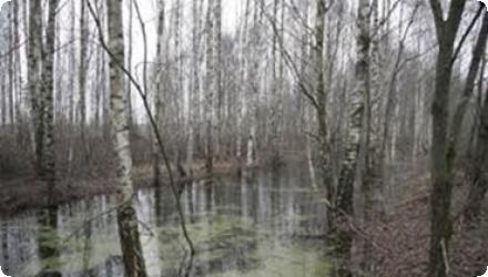
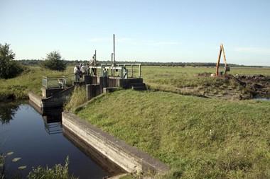
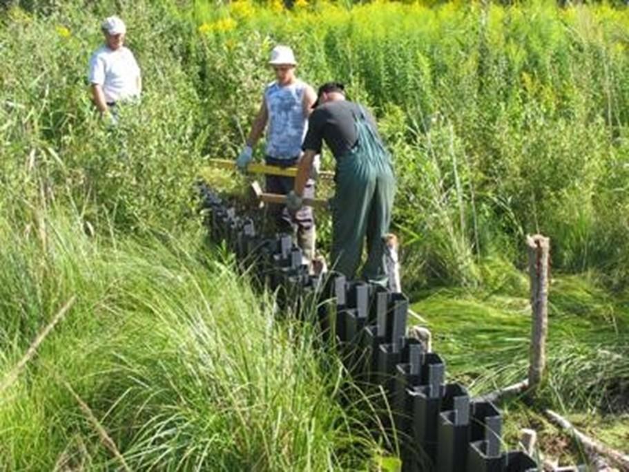
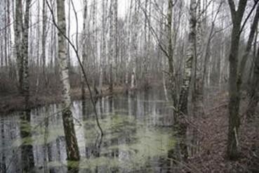
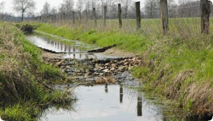
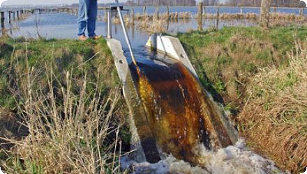
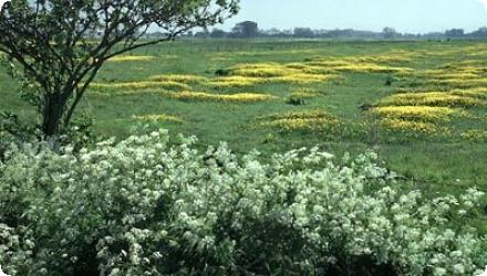
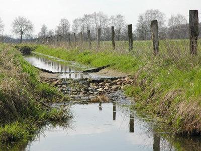
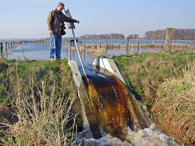
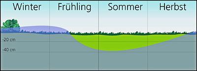
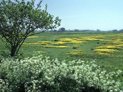
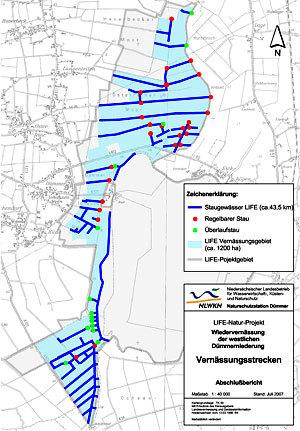
This project combined several natural water retention measures: restoration of meadows and pastures, reduced tillage, reduced stocking density, and wetland restoration . Located in north-west Germany (Weser basin, DE4000), it was funded under the LIFE Program and aligned with the WFD, Habitats, and Birds Directives. Since 2017, over 30 ha of wetlands have been restored, and a reed polder (>80 ha) is being developed to reduce phosphorus loads. Additional river restoration measures have been implemented in the Hunte and Elze catchments. The project involved a wide range of stakeholders, including conservation bodies, water managers, farmers, and local NGOs. It successfully increased meadow bird populations and fostered constructive stakeholder cooperation. Recent efforts also include fish removal and a shift from technical to nature-based solutions, with key goals targeted for 2027.
Last update
2023