
Completed

Summary
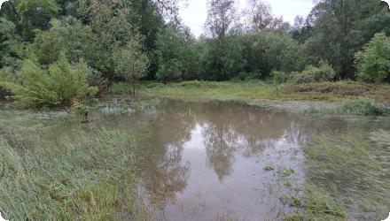
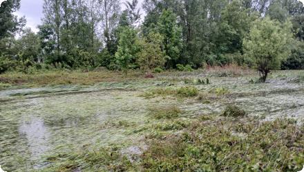
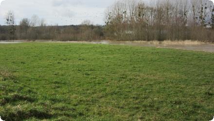
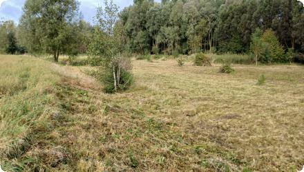
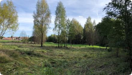
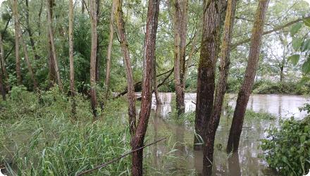
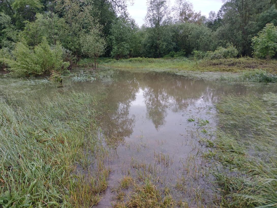
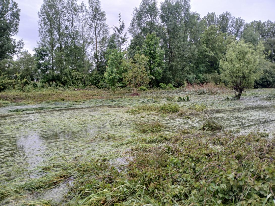
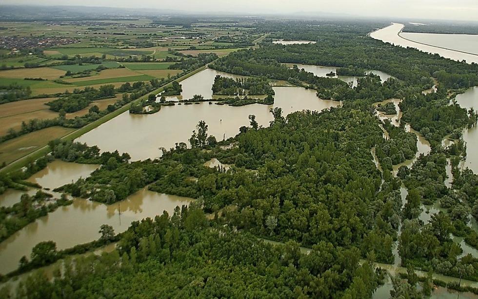
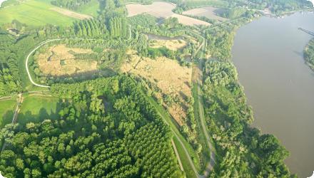
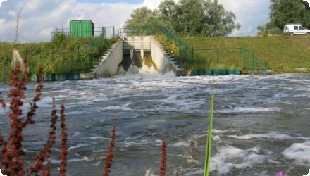
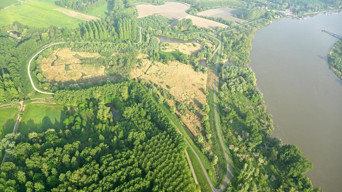
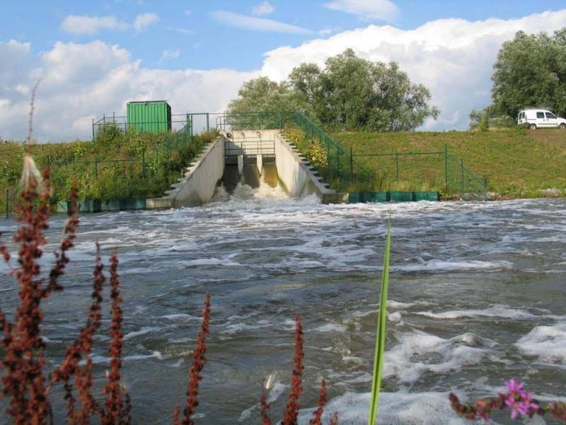
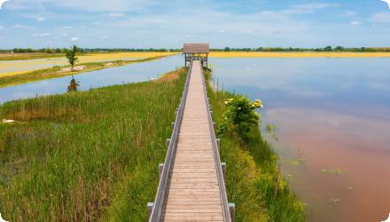
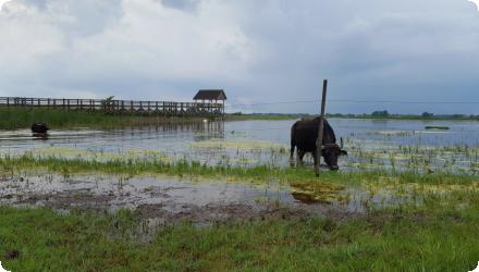
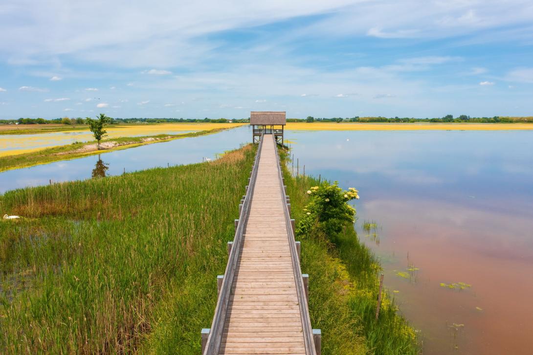
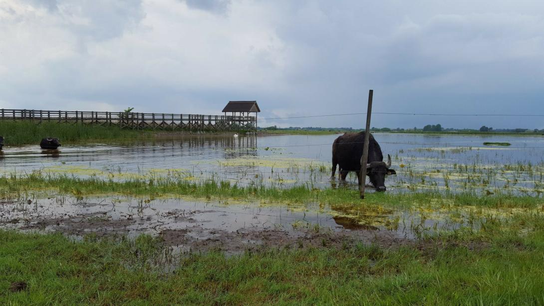
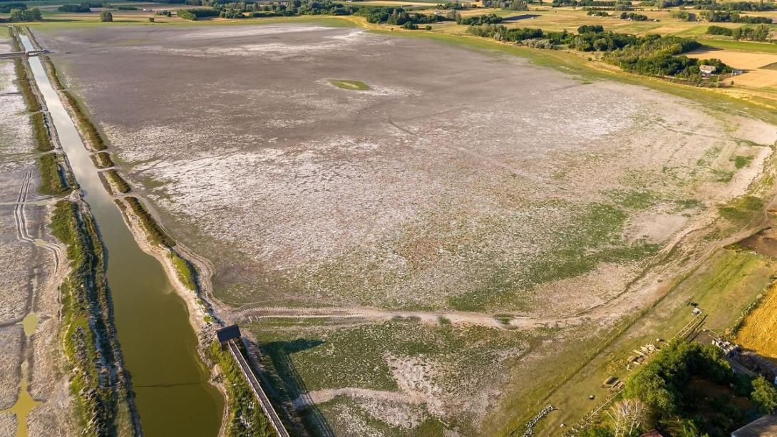
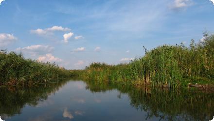
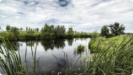
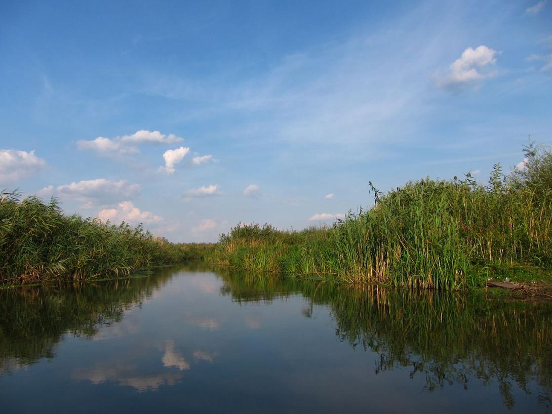
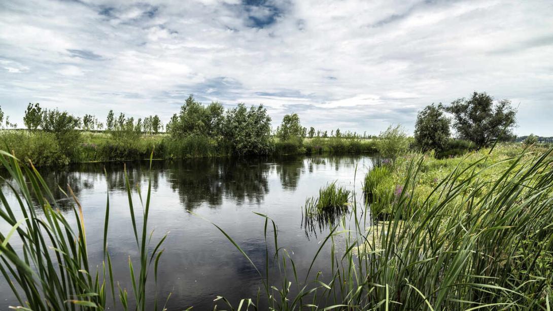
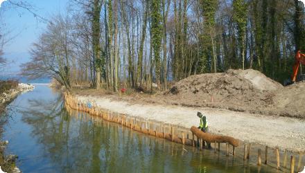
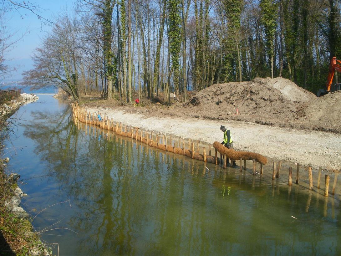
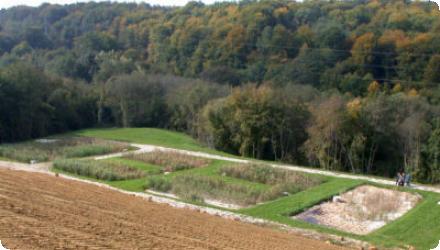
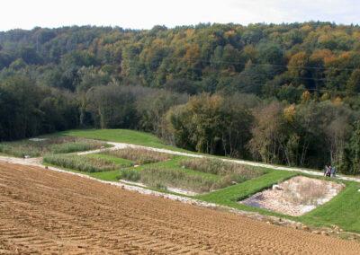
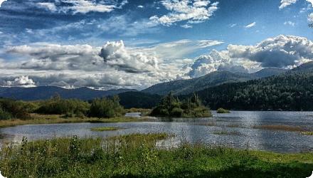
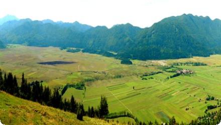
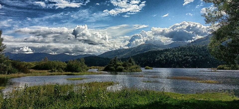
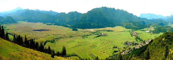
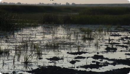
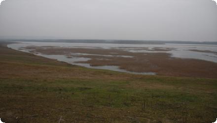
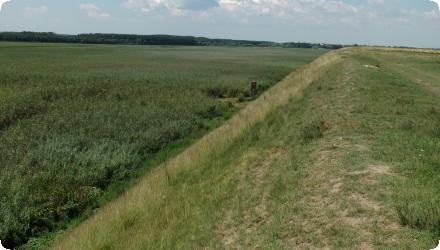
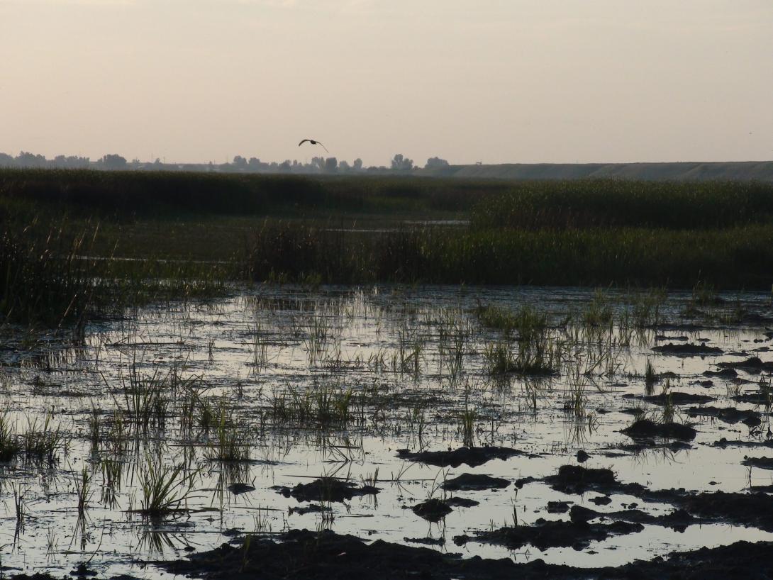
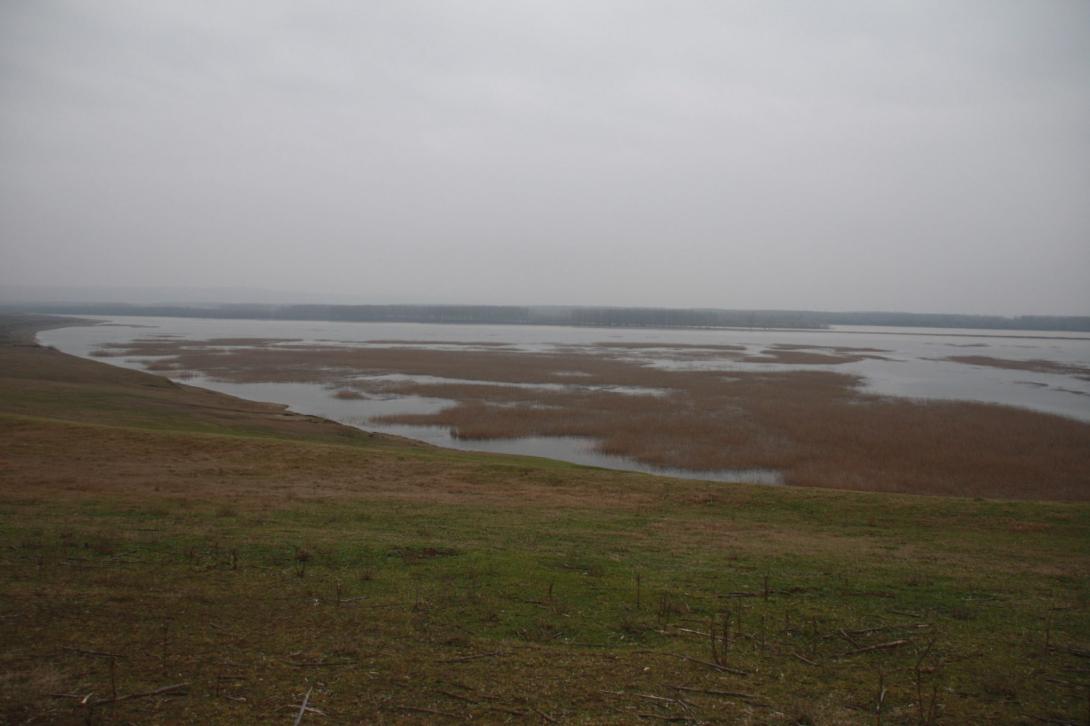
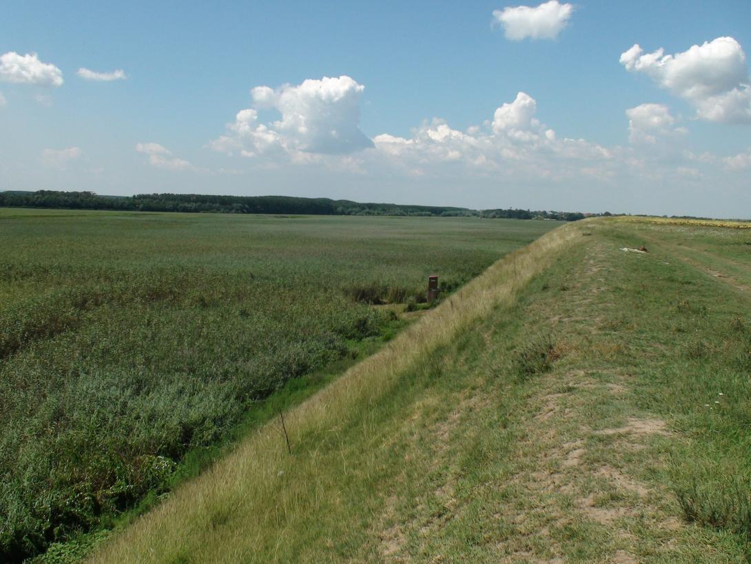
Gerai (Balta Geraiului), a Danube floodplain between Gârcov and Islaz, was restored under the LIFE+ “Green Borders” project. Works completed in 2011 reinstated the hydrological regime on about 1,000 ha to secure breeding water levels and open-water patches for Ferruginous Duck (Aythya nyroca) and Pygmy Cormorant (Microcarbo pygmaeus). Since then, the area has gained stronger protection and outreach: on 13 June 2012 it was designated as part of the Olt–Danube Confluence Ramsar Site (46,623 ha), and in June 2013 WWF, APM Olt and local communities opened a visitor observation point at Gerai. Governance has also been updated: in May 2023 Romania approved the official management plan for the Natura 2000 sites ROSPA0024 “Olt–Danube Confluence” and ROSCI0044 “Corabia–Turnu Măgurele”, which cover the Gerai area. Recent pressures include recurring reed/grass fires; in August 2022, over 600 ha around Islaz in the “Teleorman Delta”, including Balta Geraiului, burned. Overall, the project’s hydrological reconnection and bird-habitat aims remain relevant, now framed by Ramsar and Natura 2000 planning, while fire management is an ongoing challenge.
Last update
2025
Summary
The 75 km-long Vezouze river regulary overflows, leading to increasingly violent floods especially in the urbanized sector of Lunéville, worsen by the degradation of the natural river bed upstream. After the violent 1983, 1998 and 2004 floods, the local municipalities launched restoration work to reduce the impacts of future floods. It involved widening parts of the riverbed by leveling a levee on the left bank. Two one-meter-wide flood channels were excavated over six hectares, creating 60,000 m³ of cleared material. Wetland habitats like ponds and side channels were established, with trees and helophytes planted.
Last update
2025
Summary
Ecological flooding has been implemented in a polder area near Altenheim, Germany, as part of the Integrated Rhine Programme (IRP). Covering approximately 520 hectares, the Altenheim polders serve a dual function: ecological enhancement and flood retention, with a capacity of up to 17.6 million m³. Since 2001, controlled ecological flooding is triggered when the Rhine’s flow exceeds 1550 m³/s, with infrastructure allowing flows up to 80 m³/s. This approach has significantly improved biodiversity, groundwater dynamics, and habitat conditions.

The project also created recreational opportunities and enhanced landscape connectivity. However, challenges arose related to forest adaptation (notably shifts in tree species), mosquito proliferation, and groundwater level management. In response, new measures were introduced—including permanent swing barriers (installed in 2021) to protect wildlife during floods, and coordinated post-flood clean-ups involving local authorities and forestry services.

Recent evaluations confirm ongoing positive ecological effects, including increased amphibian, fish, and mammal presence. Regular maintenance and monitoring are coordinated by the Regional Council (Regierungspräsidium Freiburg), ensuring the multifunctional goals of flood protection, ecological restoration, and local engagement are maintained.
Last update
2025
Summary
The Lippenbroek project, launched in 2006 in Hamme (Belgium) as part of the Sigma Plan, implements an innovative sponge measure that combines flood protection with ecological restoration through a Controlled Reduced Tide (CRT) system. Established on a former 10-hectare polder, the site receives tidal water through regulated culverts, recreating an intertidal environment favorable to freshwater wetland habitats. The objectives were to store floodwaters, restore estuarine habitats, and test the CRT concept for future applications. The results have been highly positive: improved water quality, rapid vegetation development, increased biodiversity, and natural morphological evolution. The site’s success makes it a model for estuarine restoration in the Scheldt estuary.
In 2025, it remains very relevant as a demonstrator site, and still is a research area.
Last update
2025
Summary
The Nagyszéksós-tó project aimed to safeguard the natural and recreational functions of the protected lake area by improving retention of 1.2 million m³ of water from excess periods and supplying surplus water from the nearby village’s treatment plant, with extra polishing in a newly created wetland. Other objectives included enhancing groundwater recharge, restoring drainage capacity to avoid prolonged waterlogging of farmland, and providing Mórahalom with improved recreation, cultural and educational opportunities.
Since completion, the site has become a key habitat, supported by buffalo grazing for vegetation management and seasonal hydrological cycles typical of saline lakes. In recent years, summer drying has recurred, seen by conservationists as a natural phenomenon, though it poses challenges for tourism. A major eco-tourism development started in 2024–2025, led by the Kiskunság National Park Directorate and Mórahalom municipality, will deliver a new visitor centre, thematic trails, birdwatching towers and educational facilities, scheduled to open in 2026, aiming to balance habitat protection with sustainable public access.
Last update
2025
Summary
The main objective of the project is to conserve the biodiversity, the natural habitats, the wild species of flora and fauna and to assure an efficient management of protected natural areas, in particular, management of the ecological network Natura 2000 through reconstruction of Comana Wetland within Giurgiu County.
Comana Wetland restoration (2009–2011) in Comana Natural Park (Giurgiu County) built a small dam with sluice on the Neajlov and a fish pass, raised and stabilised water levels (~490 ha), set up ecological monitoring and visitor infrastructure, and supported Natura 2000 management and biodiversity gains. Since then, management has been updated: the park’s management plan was approved by ministerial order in May 2022. Navigation on Balta Comana/“Neajlov Delta” is now regulated (county regulation in 2022 and a national order in Feb 2024). The county also initiated a concept for a second restoration phase (“REBACO 2”, 2021) and launched feasibility/design steps. Recent monitoring and studies include a 2021 water-quality survey and analyses of ichthyofauna dynamics. In 2024, an exceptional drought led to near-complete drying of Balta Comana with short-term ecological and tourism impacts reported; local environmental press noted a return of water after autumn–winter rains in January 2025. These developments underline the need for continued maintenance of hydraulic works and adaptive, drought-resilient management.
Last update
2025
Summary
The restoration of the Kuresoo bog aimed to re-establish the natural water regime and typical bog vegetation in a severely drained area within Soomaa National Park, Estonia. Restoration was implemented on a pilot area of approximately 60 ha, where ditches were blocked with peat dams, brushwood and plastic piling. The area had been drained in the 1950s for peat extraction and forestry, resulting in significant degradation of the bog ecosystem.

Monitoring indicates that water levels have been successfully raised, resulting in the development of typical bog vegetation such as sparse pine cover and Sphagnum moss. These changes help reduce carbon emissions from the formerly degraded peat soil and support biodiversity conservation.

Recent sources confirm that over 1,000 dams were built across ~3,000 ha of degraded peatlands at Kuresoo as part of broader national efforts under the LIFE Mires Estonia project (2015–2021). Restoration planning employed drone-based LiDAR surveys and hydrological modelling, while fieldwork included local volunteers and national institutions. Long-term monitoring confirms a stable rise in water levels, recovery of bog vegetation, and return of protected bird species. Some initial restoration structures required corrective work to improve hydrological effectiveness.

As of 2023, the Kuresoo bog restoration is recognized as a national best practice example and has contributed significantly to Estonia’s peatland restoration targets, particularly within Natura 2000 habitats. The site continues to be managed by RMK, with ecological monitoring by the University of Tartu and ELF.
Last update
2025
Summary
Hermance is a French–Swiss transboundary river. Since 2006, within a cross-border river programme led by SYMASOL with support from the Canton of Geneva, restoration has re-meandered the channel, widened the mouth, renaturalised the bed and banks, replanted riparian vegetation, and used the Mermes marsh as flood-storage via a retention pond ; reducing flood risk for ~100 homes and reconnecting people to their river with a riverside path (opened in 2017). More recent records show the programme extended in phases through 2016–2017, reaching ~3 km of restored river in Veigy-Foncenex, with a total budget reported at €2.5 M (excl. tax). Cross-border works included the 2010 renaturation of the Pont-Neuf–Pont-des-Golettes reach and the 2011 revitalisation of the river mouth. Complementary lacustrine actions created/reinforced reedbeds on the French shore at Chens-sur-Léman (2012, 2016). Flood-risk management was strengthened upstream by a ~12,000 m³ flood-retention basin. Ongoing follow-up includes a 2021 hydrological/hydraulic review of the Hermance dams in Veigy-Foncenex to check performance and safety. Overall, the project combines flood protection, ecological recovery and public amenity at a transboundary scale.
Last update
2025
Summary
The project applied an eco-remediation methodology at the Dobrava landfill (Municipality of Ormož, Slovenia) in the Pannonian lowlands. It aimed to demonstrate a green technology that reduces landfill impacts through a closed hydrological and pollution cycle, complementing and exceeding legislation. The Limnotop approach combines a dense, high-evapotranspiration woodland cover as a water barrier with recirculation and a constructed wetland for leachate treatment, to protect surface and groundwater.

Since project completion, the landfill has been permanently closed to additional landfilling and reconstructed; the constructed wetland remains in operation for leachate treatment (as confirmed by site managers). Post-LIFE, the site has been under operational monitoring by the authorities. In 2019 the environmental permit required additional leachate treatment, and a 2020 municipal plan considered routing leachate to the Ormož wastewater treatment plant to complement the wetland. A separate collection/transfer center now operates adjacent to the closed landfill. Overall, the case shows long-term use of nature-based treatment integrated with closure works, with upgrades pursued to meet current standards.
Last update
2025
Summary
The project aimed to create suitable conditions for protecting and conserving species and habitats at Lake Cerknica, Slovenia’s largest intermittent lake, while promoting sustainable agriculture, forestry, fishing, tourism, recreation, and education in harmony with natural values. Coordinated by Notranjska Regional Park with the Biotechnical Faculty, the Municipality, and Inženiring za vode d.o.o., it was funded by the LIFE programme.

Following the initial actions (2007–2009) – including land purchase, riverbed restoration, and wet grassland management – successive LIFE projects have continued and expanded this work. LIFE STRŽEN (2017–2023) restored over 2 km of the Stržen riverbed, improved hydrological conditions over 60 ha, enhanced habitats for priority bird species such as the bittern, and reduced tourism pressures. The ongoing LIFE TRŠCA (2023–2029) focuses on managing marsh habitats for waterfowl, adapting mowing regimes, removing excess biomass, reducing disturbance, and introducing innovative biomass use. Recent monitoring combines field surveys and satellite imagery to track water levels and reedbed dynamics, ensuring long-term ecological resilience and adaptive management of this Natura 2000 site.
Last update
2025