
Completed

Summary
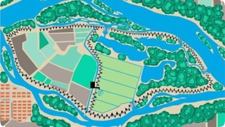
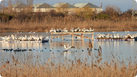
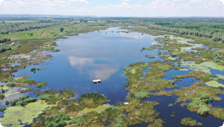
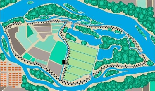
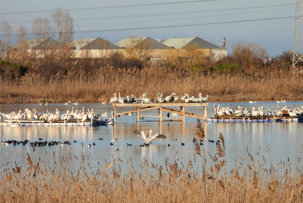
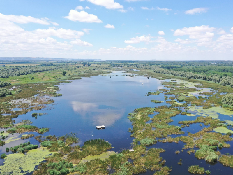
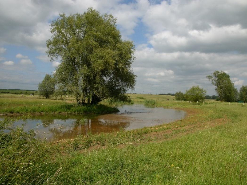
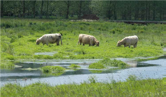
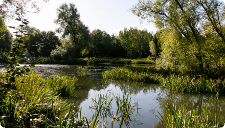
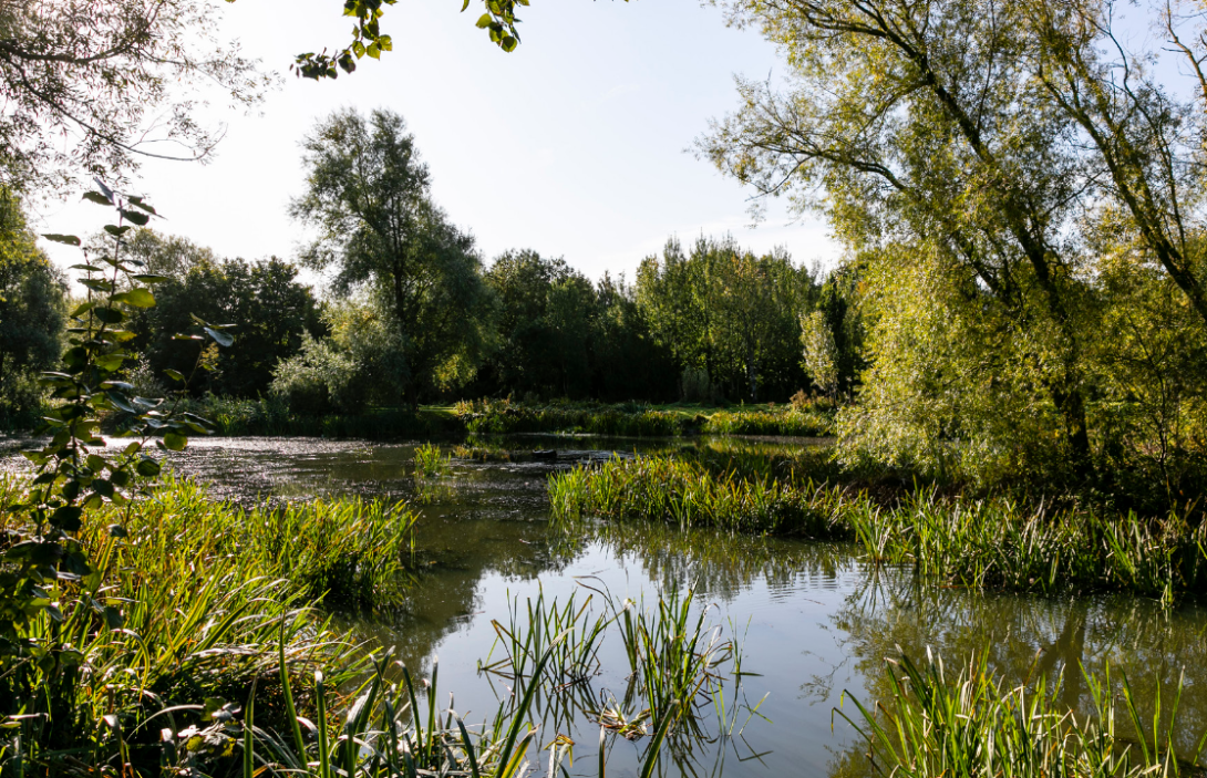
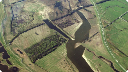
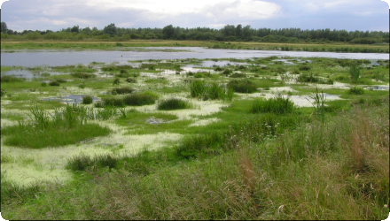
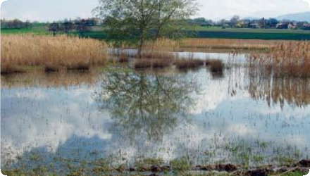
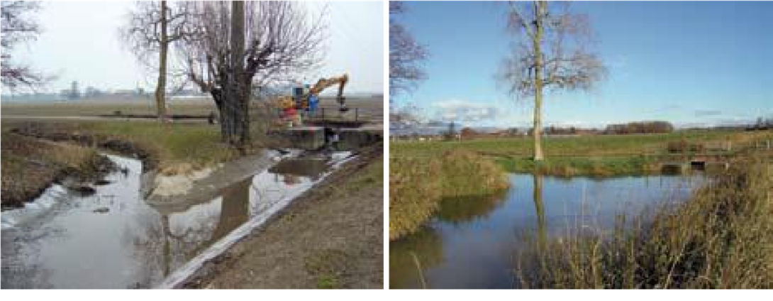
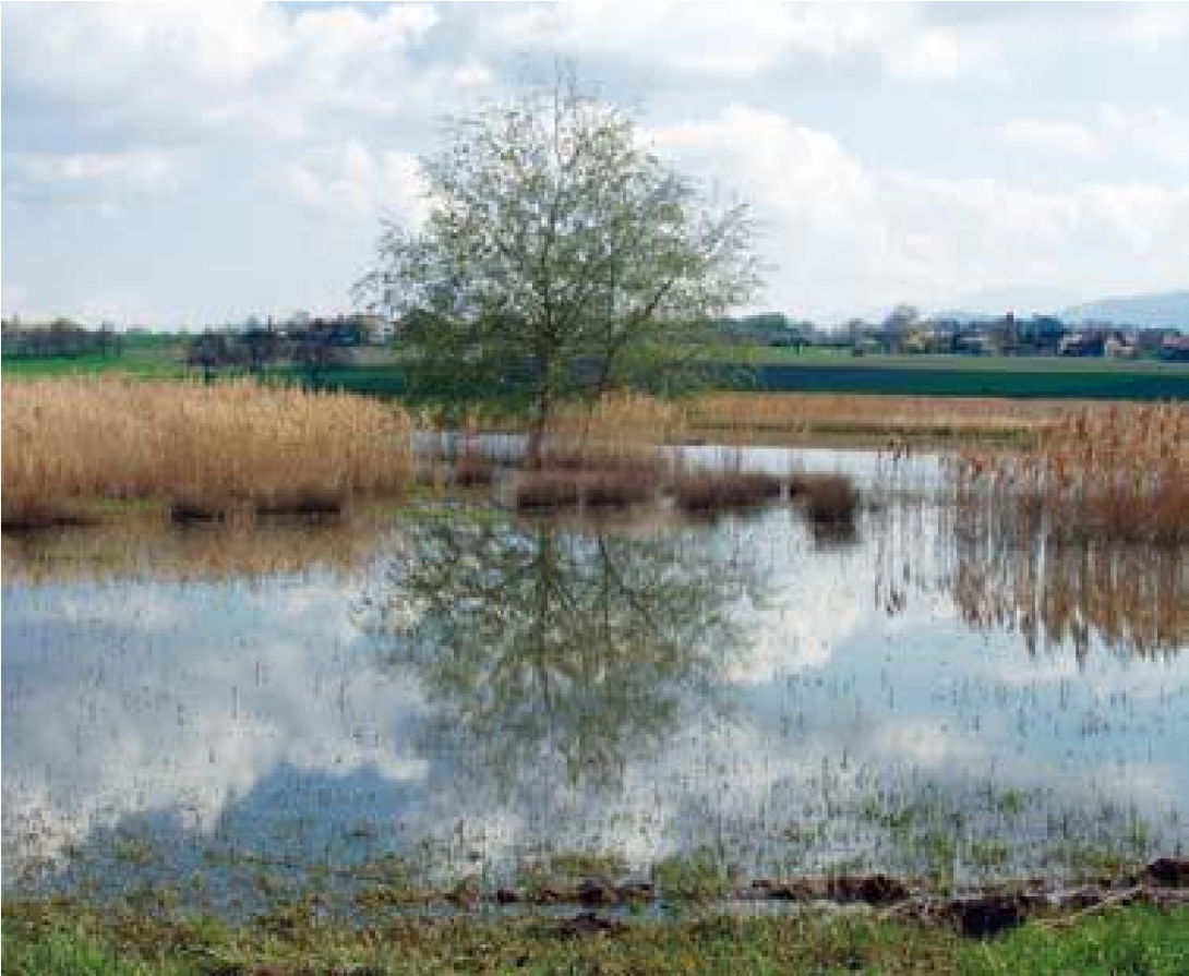
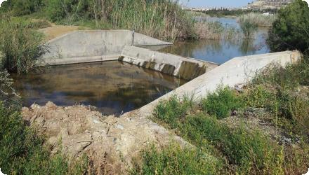
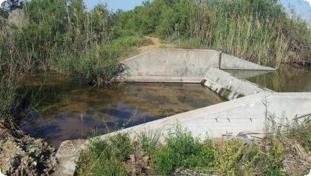
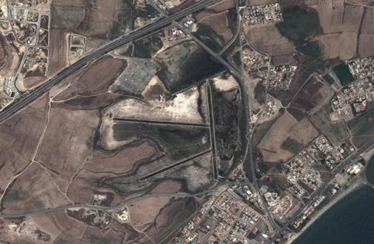
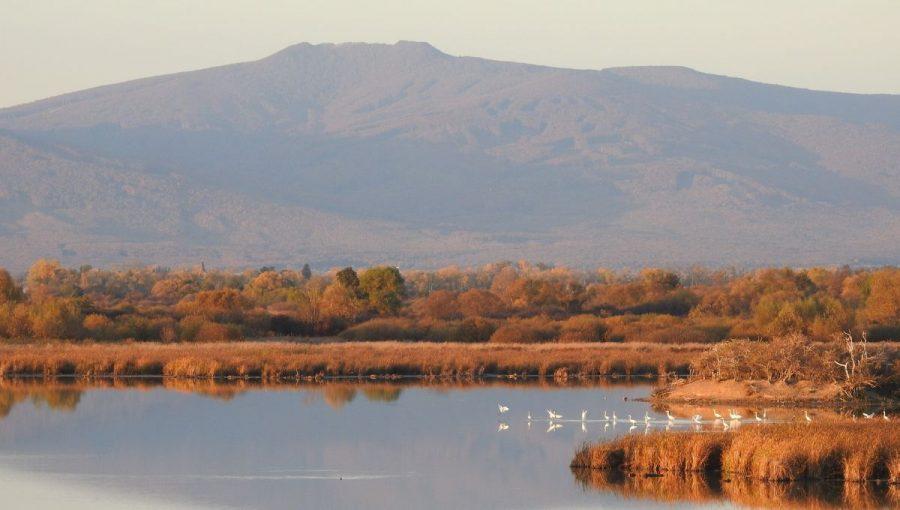
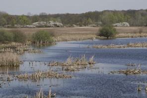
The action, led by the State Nature Conservancy of the Slovak Republic with NGO partners and funded by LIFE and national sources, set out to restore the favourable conservation status of breeding and migratory Birds/Habitats Directive species in the Senné (Senianske rybníky) and Medzibodrožie SPAs by improving key wetland habitats. Since then, conservation has continued under follow-on projects and plans. In Medzibodrožie, LIFE AYBOTCON (2011–2018) restored c.280 ha of water biotopes, created buffer zones, modified 1 770 m of power lines to reduce collisions, purchased land, and improved occurrences of bittern and ferruginous duck. In Senné, LIFE IPORSEN (2017–2027) focuses on hydrological restoration - repairing four sluice gates, 1.6 km of channels and 1 km of dykes, and reconnecting oxbow arms - alongside reedbed/grassland management, creation of nesting sites and small visitor infrastructure.
Both SPAs now have government-approved management plans for 2022–2051 that set long-term objectives, measures and indicative budgets for water-regime restoration and habitat management.
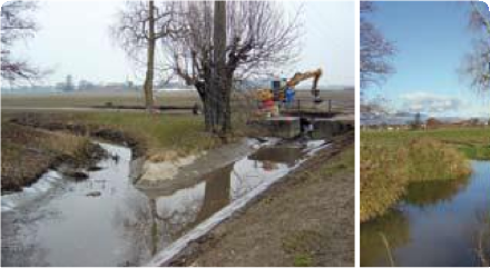
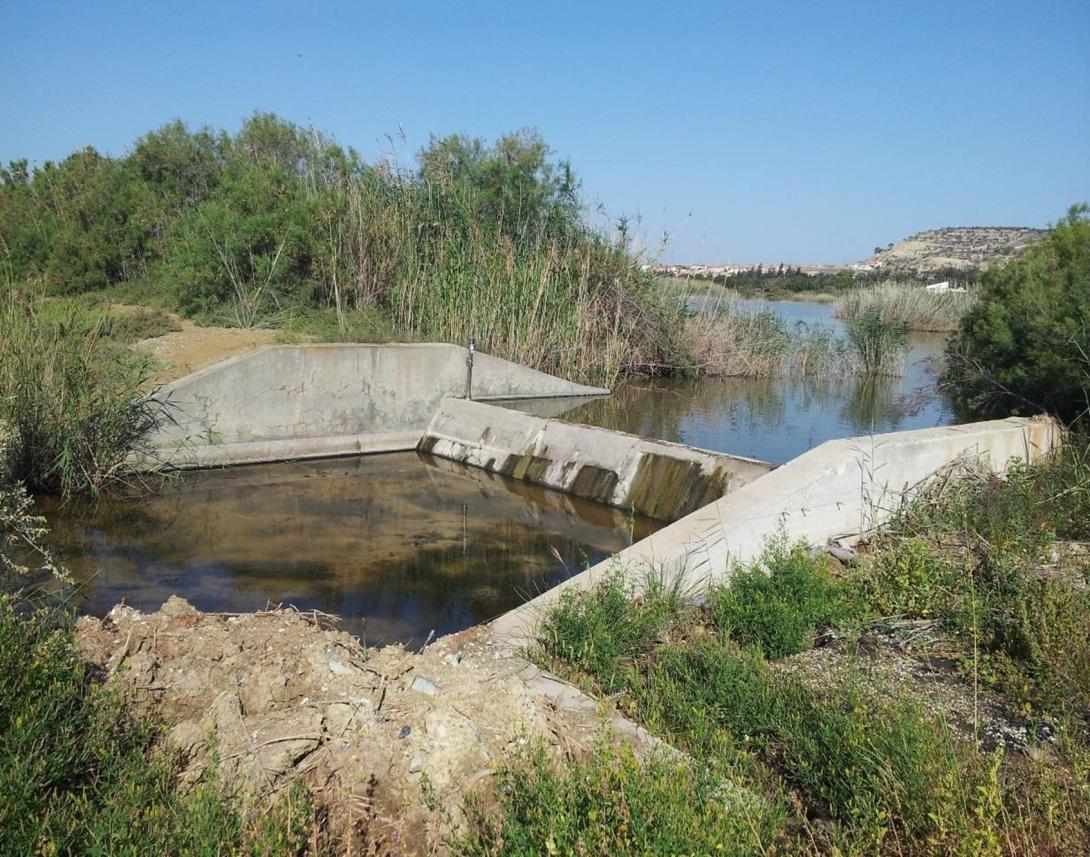
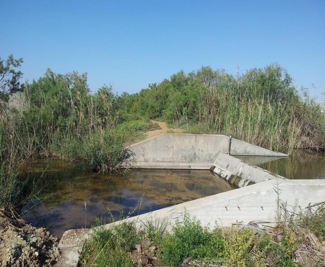
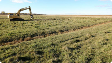
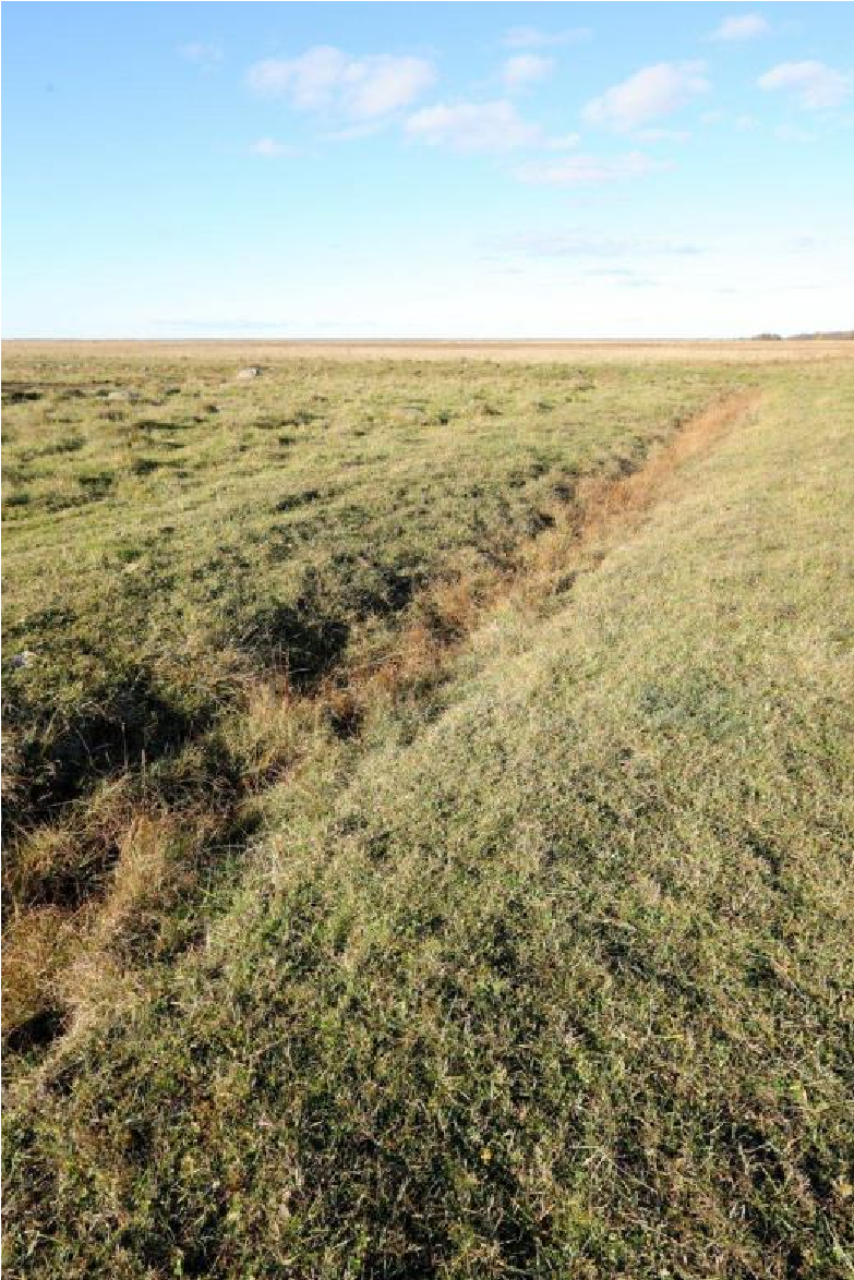
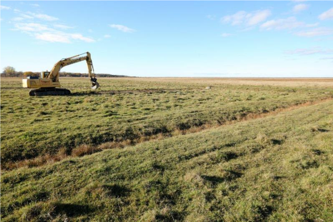
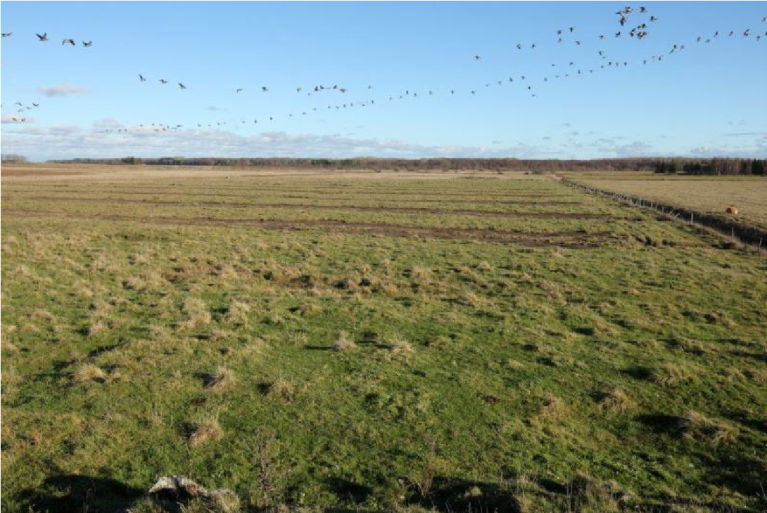
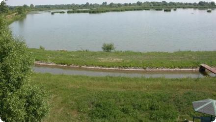
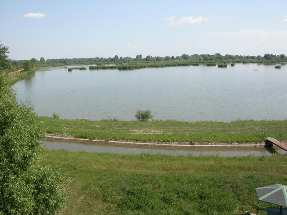
In 2023, IPORSEN works at Senné included repairing dikes and reconstructing the supply canal to secure water levels across the pond system.
Last update
2025
Summary
Restoration of two wetlands along the Danube River within Persina Nature Park, through engineering works including sluices, channels, dykes and access roads, enabling controlled flooding, water flow to former wetlands, nutrient retention, and recovery of biodiversity and fish populations. Baseline data on water, birds, fish, mammals, reptiles and vegetation were collected for monitoring.

Implemented 2002–2008 by the Bulgarian Ministry of Environment and Water, with main funding from the Global Environment Facility (GEF) via the World Bank, the project also covered the Kalimok-Brashlen and Belene Islands Complex. Works improved hydrological connectivity and reduced pollution, supported by WWF Bulgaria and local communities.

Subsequent initiatives have continued restoration and management, including sluice maintenance, construction of a pelican nesting platform, and reintroduction of the white water lily. In 2025, the Persina4Nature project, under the DANUBEPARKS network, was launched to promote citizen science for wetland conservation and monitoring, further enhancing ecological and community engagement outcomes.
Last update
2025
Summary
In the 1950s–60s, the Alzette floodplain was straightened for intensive agriculture, reducing water retention and ecological value. At Dumontshaff (Schifflange), the project set out to restore river-floodplain functioning (frequent overbanking, wetland habitat recovery) and to shift meadows to extensive management (late mowing, no fertiliser or biocides). After feasibility and land reallocation, works returned the river to its natural thalweg, widened and raised the bed, reactivated a secondary arm, and enabled floodplain and wetland restoration.
The main works on the Dumontshaff–Lameschmillen reach were completed in 2005 within a ~1.4 km section of the Alzette (plus ~600 m of the Kiemelbaach), with thalweg relocation and bed re-profiling; a dedicated project page reports a cost of ~€920k (excl. VAT). The wetland was formally designated as a National Nature Reserve in May 2023. Management now relies on year-round extensive grazing by Galloway cattle and water buffalo over >40 ha, and a nature trail (~4.4 km, 24 stations, observation tower) supports public access. Ecological outcomes include the return of Greater Spearwort (Ranunculus lingua) in 2009 and regular breeding of White Stork in the restored valley. Nearby, further renaturation on the Kiemelbaach was undertaken in 2020, while broader Alzette restoration continues upstream in separate projects.
Last update
2025
Summary
The River Tolka runs through Dublin, Ireland. In Tolka Valley Park, a suite of measures was implemented to slow flood flows, reduce pollution and support wildlife: runoff retention ponds, bank re-profiling to slow flows and prevent erosion, riparian tree planting, and integrated constructed wetlands (ICWs) to improve water quality (once leachate from a former landfill was detected). Later, a fountain and barley-straw bales were used to limit algal blooms, and invasive plants were managed with biodegradable matting and planting.

Built in two phases (1999–2001; 2009–2013 Greenway), the ICWs treat polluted stormwater from the Finglaswood Stream before it enters the Tolka. Since 2019, sources confirm the site remains operational and biodiversity-rich (reed/sedge swamps, breeding mute swan; spawning common frog). Dublin City Council reports active invasive-alien-species control in the park, and the Luas Finglas project includes remediation/mitigation works to the existing ICW, with design notes that low flows are routed through the ICW and higher flows bypass to the river. Governance/cost snapshots add context: the first ICW was relatively low-cost (~€40k) while the 2009–2013 phase exceeded €3 m. Tolka Valley Park is now ranked among Dublin’s most important biodiversity sites due to the river and wetland chain.
Last update
2025
Summary
In the framework of the large-scale nature conservation project "Lenzener Elbtalaue", a dyke along the river Elbe (in Germany) has been relocated. This created a new retention area with a diverse floodplain, including alluvial forests, half-open pasture landscapes and other typical habitats of lowland floodplains. With 420 ha it is the biggest application of this type of measure in Germany so far. The project successfully combines flood protection and nature conservation objectives. Since the cutting of the old dyke in 2009, the measure could proof its effectiveness during several high water events.
The specific measures applied include:
- Construction of a new, 6.1 km long dyke which has been shifted backward up to 1.3 km
- Opening of the old, 7.2 km long dyke, situated close to the river, in sections of 200-500 m length
- Planting of 160 ha of alluvial forest, with further 130 ha of succession areas for alluvial forests
- Establishment of half-open pasture landscapes on 85 ha
- Profiling of 45 ha of flood channels in the area concerned by the relocated dyke
- Implementation of a land re-organization process in order to make areas available for the project
Last update
2025
Summary
Located in eastern Geneva canton, the Seymaz renaturation replaces concrete channelization with a softer, wider river corridor and recreates marshland, under the canton’s long-running programme to improve ecological and landscape quality and reduce flood risk by managing peak flows. Governance has relied on the “Charte Seymaz” negotiation forum and a management group to coordinate local arrangements; land tenure and agricultural impacts were key constraints that required dialogue and compensation for farmers.

Since 2020 the canton has consolidated and showcased results (book + short film). In 2024–25 a new phase at Bel-Air (Vandœuvres–Thônex–Chêne-Bourg) removed illegal bank fill, narrowed the low-flow channel, installed terraces, root wads/blocks and fish shelters, and stabilized banks with bioengineering, while reorganising heavy recreational use along the riverside path. Client: Office cantonal de l’eau; engineering: Karakas & Français SA and EcoEng SA; works: SCRASA SA and SITEL Environnement-Paysage. Six months on, beaver activity is already structuring flows and habitat. Maintenance of the Haute-Seymaz wetlands and channel has been handled by SITEL since 2019 with local association oversight; mowing/faucardage is adapted to hydrological conditions. Coordination around Bel-Air also required short Greenway bridge closures in March 2024.
Last update
2025
Summary
A rain garden was installed along the verges of a residential road in Nottingham, England. The purpose of the rain garden was to control the rate of runoff and water quality reaching the downstream watercourse (Day Brook).
A total of 21 linear rain gardens were constructed within the grass verge of Ribblesdale Road, to manage surface water run off within the catchment of Day Brook. Water contained within the gardens soaks away rather than entering the local surface water sewer which flows to the Day Brook. Construction was completed in May 2013.

The Nottingham rain gardens reduced surface water runoff by up to 30%. They help lower local flood risk, reduce combined sewer overflow, and improve water quality through filtration. Over 150 rain gardens were installed, enhancing biodiversity, creating attractive green space, and supporting pollinators. Maintenance costs are low and community feedback has been positive. The project also contributes to climate resilience and urban cooling.
Last update
2025
Summary
Between 1990 and 2005, the River Quaggy programme in southeast London combined river restoration and flood management to address growing urban flood risk: de-culverting and reconnecting floodplain (notably at Sutcliffe Park), construction of detention basins, set-back defences and channel re-profiling. The scheme took a catchment-scale view, was delivered by a multi-disciplinary team, and drew heavily on community advocacy. Since then, the sites have been managed as long-term green infrastructure: Sutcliffe Park is a Local Nature Reserve with a 2019–24 management plan (updated 2022) to maintain flood-storage function and biodiversity. Lewisham’s 2022–27 Local Flood Risk Management Strategy adopts a “make space for water” approach and cites Quaggy/Sutcliffe Park as exemplars. Recent works extend benefits upstream at Chinbrook Meadows, where Thames21 and partners created new wetland cells (2023–24) to intercept the polluted Grove Park Ditch, improve water quality and habitat, slow flows and enhance community amenity; the wetlands opened to the public in September 2024. River status has also evolved: the Environment Agency now classifies the Quaggy water body as having Moderate ecological status (2025), with physical modification and point-source pollution remaining pressures.
Last update
2025
Summary
Oroklini Lake lies near Larnaca within Oroklini village. The wetland was modified in the mid-1940s to promote desiccation for health reasons. NWRM actions aimed to retain water and restore habitats for two key breeding species (Black-winged Stilt, Spur-winged Lapwing) and wider biodiversity, including small hydraulic works in the upper basin.
In 2012–2014 the LIFE “Oroklini” project restored and managed the site (water-level management, nesting islets, fencing and visitor facilities), and it was later recognised as a Best LIFE project (2018).
Since 2014, After-LIFE management continues: monthly waterbird counts and nesting surveys, predator monitoring, reed control, and operation of water-control structures to release excess water during floods; bird-collision “diverters” were also installed on power lines.
Recent science characterises Oroklini as a brackish lake (mean salinity ~7.4‰, ≤20‰) with occasional high phytoplankton abundance, influenced by catchment dominated by artificial and agricultural land uses, nformation valuable for water-level and vegetation management.
Under LIFE IP “Pandoteira” (2023–2029), measures relevant to Oroklini include access management to reduce disturbance, water-level plans, reed management and control of non-native predators.
A local issue flagged in late-2023 concerns an upstream runoff channel to the lake that has not been cleaned for decades, raising flood-risk and maintenance needs.
Last update
2025
Summary
The measure was implemented in 2013 in Matsalu National Park (Natura 2000, Ramsar), at a former coastal meadow beside the large Salmi complex. Old, non-functioning field ditches were closed and scraped to restore wetland hydrology and breeding/feeding habitat for waders and amphibians. Grazing continued as before, with better access to drinking water for cattle.
Since then, the site has been managed as part of the wider Keemu–Salmi coastal meadow system (~360 ha) within a park that maintains ~3,000 ha of coastal meadows, among the largest in Europe. National guidance and the 2021–2027 Action Plan for semi-natural grasslands reinforce long-term maintenance (grazing/mowing, shrub control) and allow restoration actions such as closing drainage to keep meadows wet.
For fauna, Salmi–Keemu is a priority area for the natterjack toad; the species plan recommends sustaining sufficient grazing to keep short-sward habitat and preserving shallow, temporary pools created by micro-relief. In response to very high nest predation on coastal meadows, a pilot predator-control programme (2021–2024) was introduced at Keemu and Salmi to improve wader breeding outcomes.
Overall, the 2013 hydrological works are now embedded in park- and nation-wide management that keeps the meadows open and wet while targeting key bird and amphibian conservation needs.
The project was a rather small-scale restoration effort, which was originally intended to be expanded, but for various reasons this did not take place. No monitoring activities have been carried out to assess the effectiveness of the restoration.
Last update
2025