
Completed

Summary
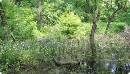
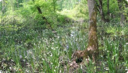
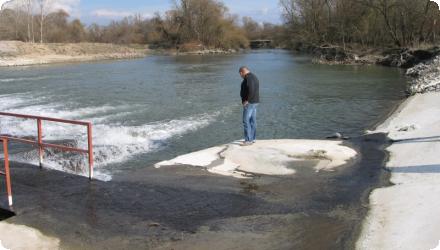
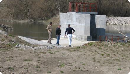
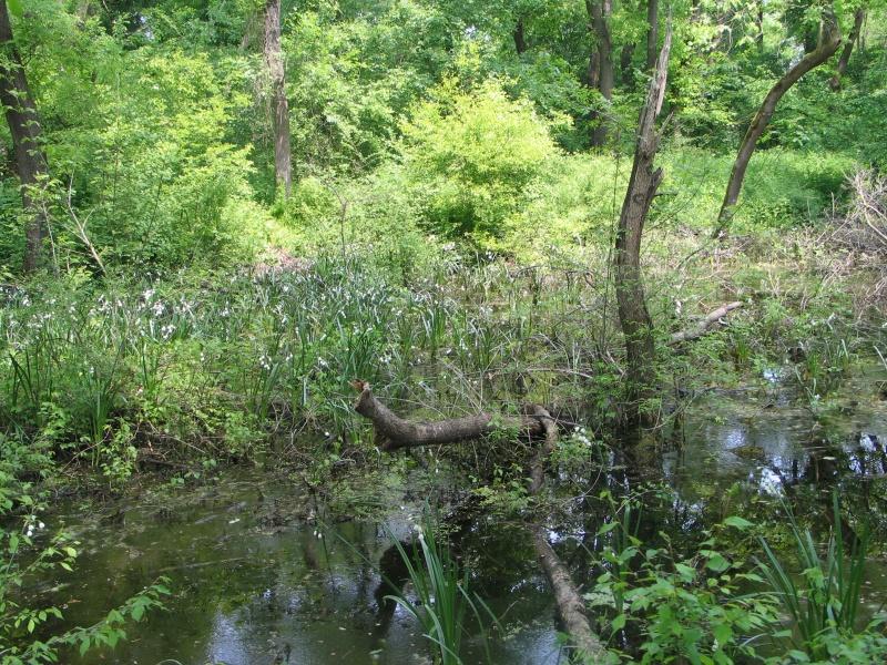
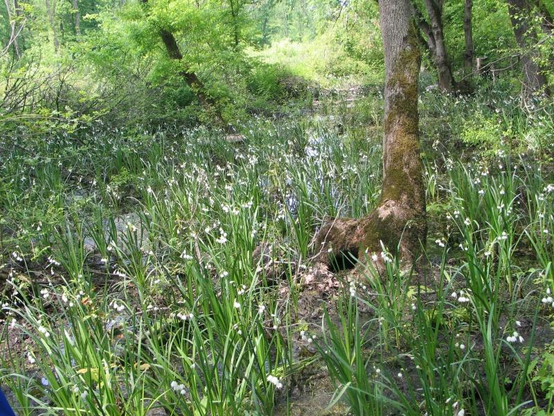
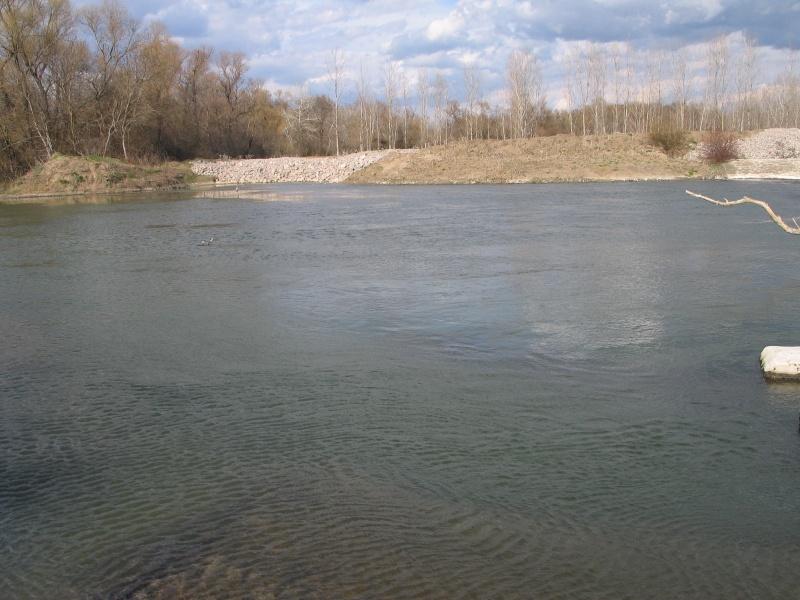
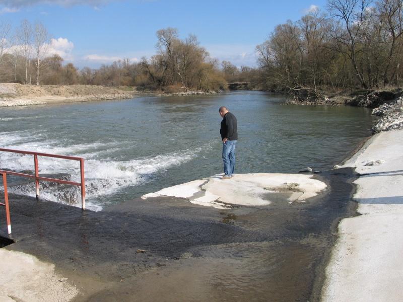
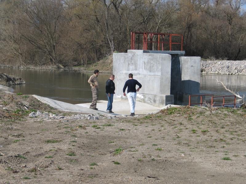
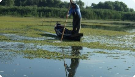
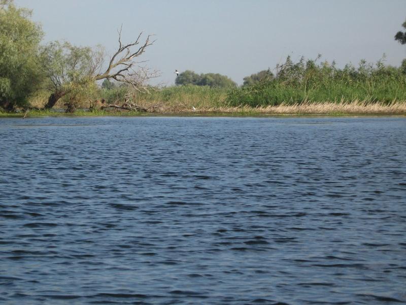
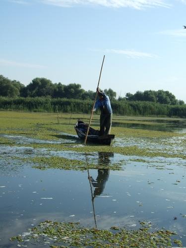
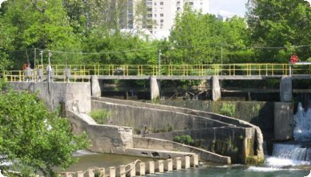
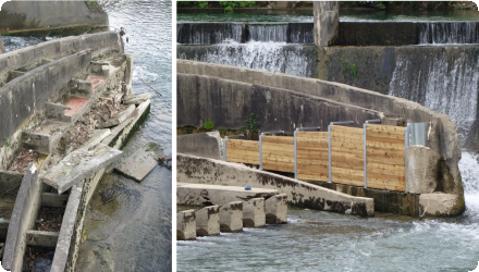
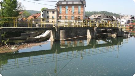
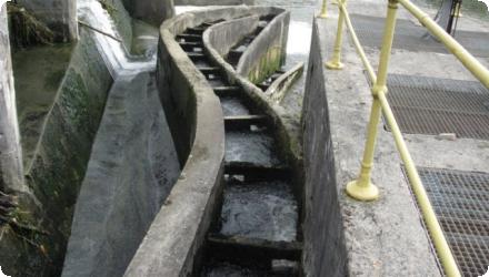
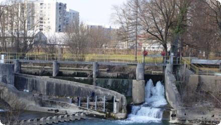
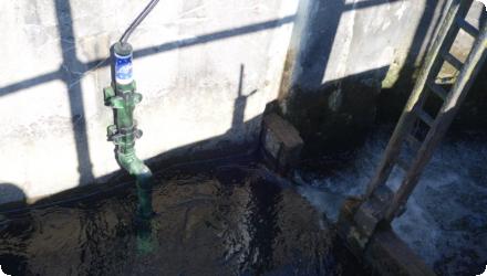
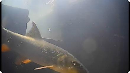
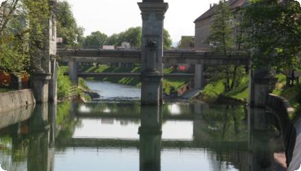
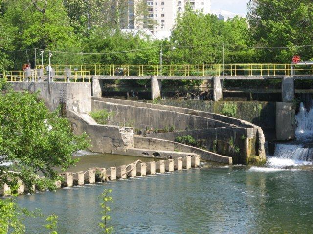
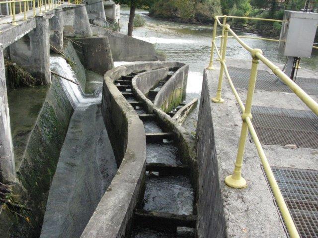
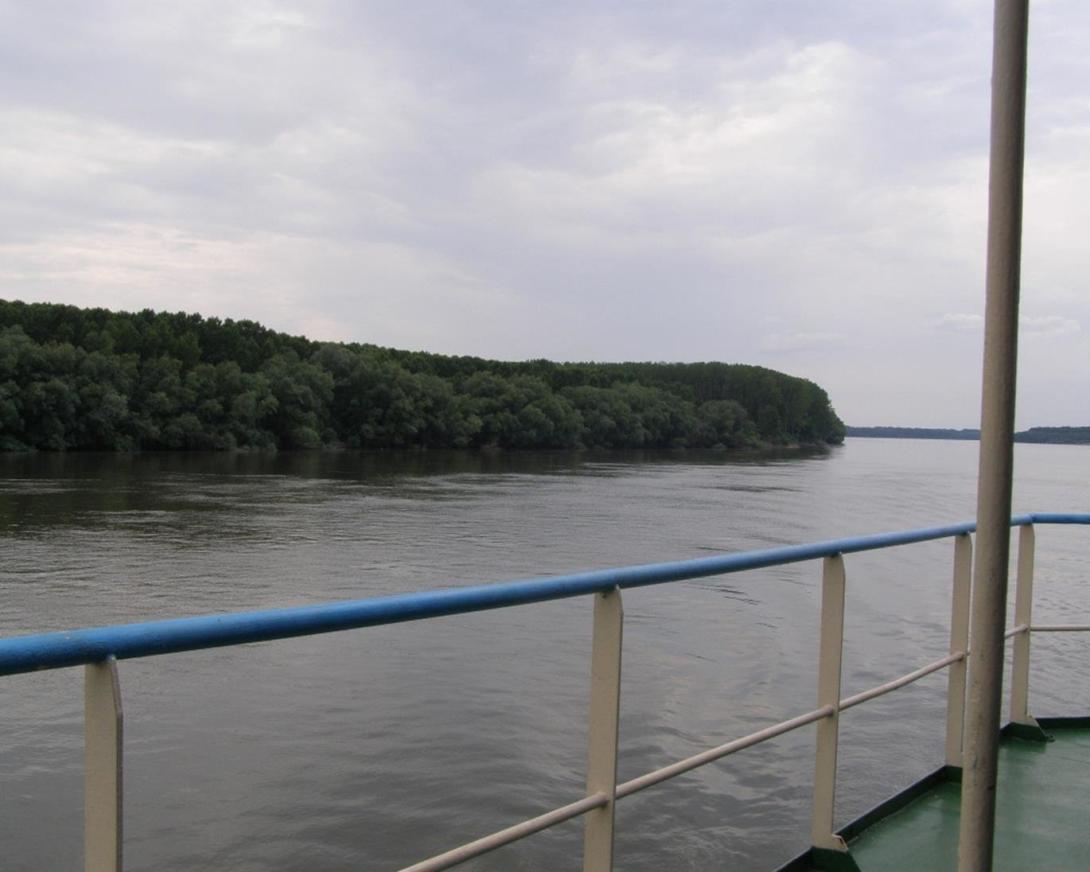
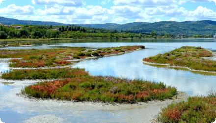
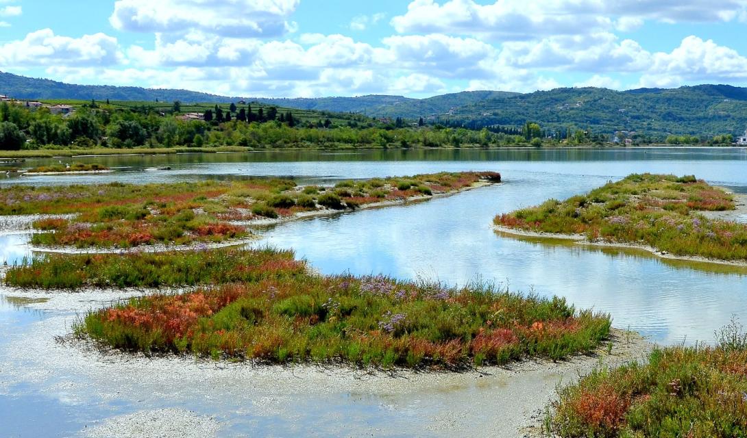
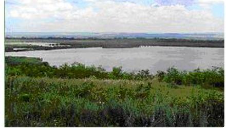
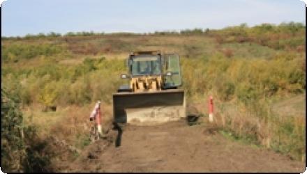
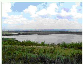
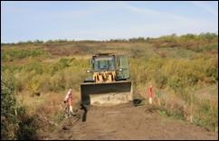
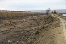
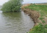
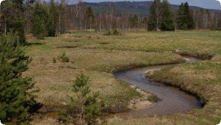
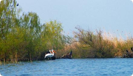
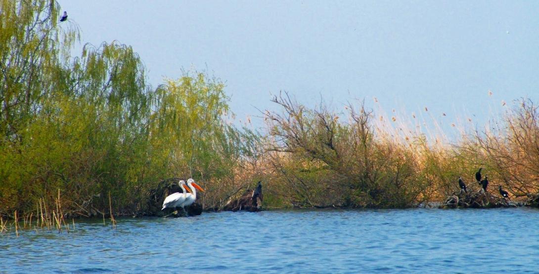
A linking canal with a lock, constructed in 1994, restored the hydrological connection between Srebarna Lake and the Danube, enabling an annual inflow of river water and preventing the lake’s isolation that began in 1949. This intervention improved water levels, reduced eutrophication trends and supported the recovery of biodiversity, notably the Dalmatian pelican colony. The site, inscribed on the UNESCO World Heritage List, is managed by the Ministry of Environment and Water through the Regional Inspectorate (RIEW) in Ruse, and has been part of Natura 2000 since 2008, with a 673-ha buffer zone.

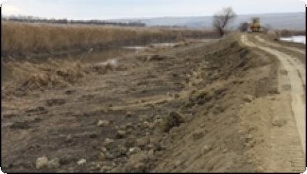
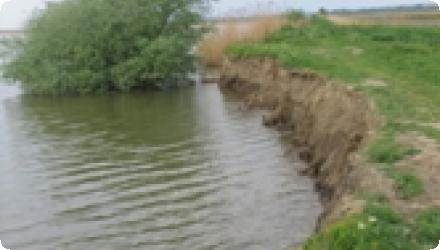
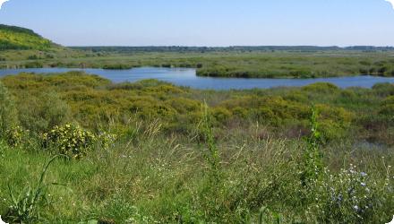
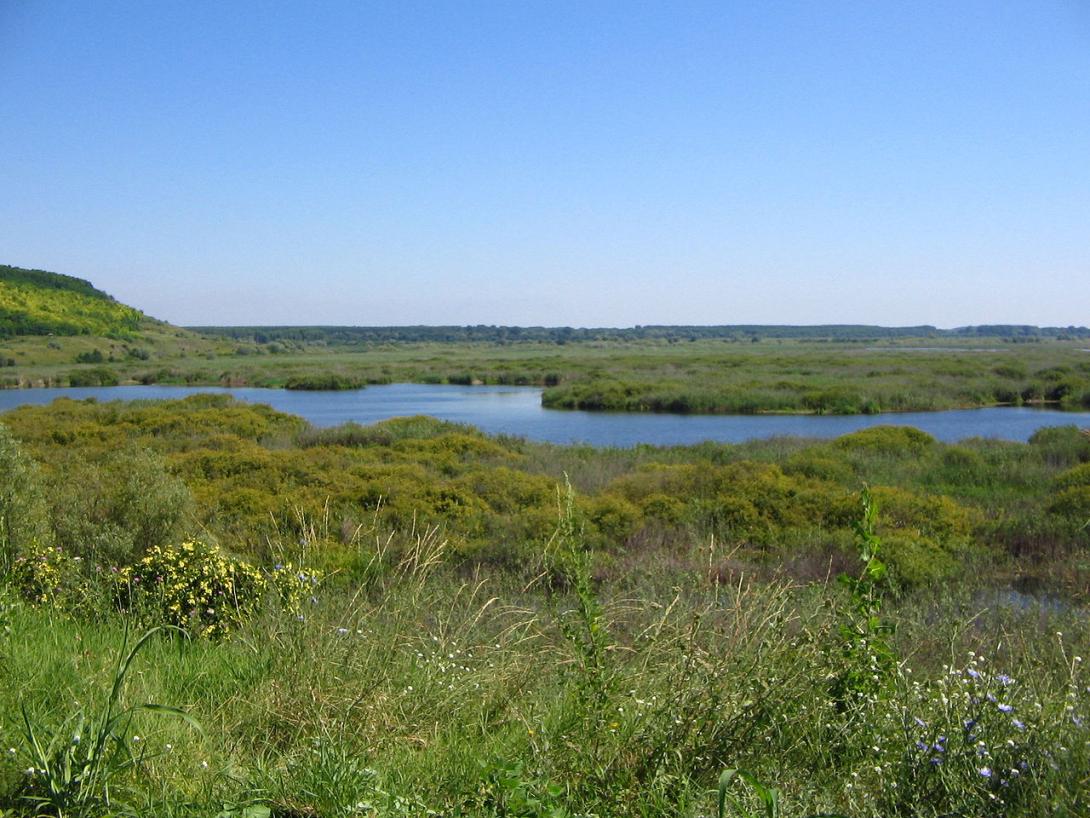
Recent UNESCO reporting (2024) confirmed the site’s official area at 638 ha after correcting a cartographic error from 2007. Management faces new challenges: predation of pelican eggs by invasive raccoon dogs and, more rarely, golden jackals, sometimes facilitated by late ice formation after mild winters. These factors have prompted measures such as protective fencing around nesting sites. The hydrological system and monitoring remain essential to maintain ecological values, while updated management planning and maintenance of hydraulic structures are priorities for sustaining the lake’s ecological health.
Last update
2025
Summary
The maintained reserve “Dolna Topchiya” (Natura 2000 BG0000195 “Reka Tundzha 2”) was restored by RIEW–Stara Zagora through a diversion weir and a ~900 m channel linking the River Tundzha to the Malka Tundzha, to rewet riparian floodplain forest (habitat 91F0). In 2018–2024 the scope expanded under OP Environment project BG16M1OP002-3.007-0010 to also restore the inundation regime of the adjacent maintained reserve “Balabana” (Elhovo Municipality). Main works delivered in 2023: at Balabana, a water intake on the Tundzha and reconstruction of irrigation canals “Iztochen” (1,897 m), “Popovska 1” (879 m) and “Popovska 2” (863 m); at Dolna Topchiya, three gabion weirs (“Dipsiza 1–3”) with crest lengths 14/10/12 m to raise soil moisture. Contractor: Technostroy-Engineering 99 AD; supervision: IVPI Consult OOD. Total budget BGN 1,489,422.96 (ERDF + national co-financing). Closing press event: 21 Nov 2023; administrative end: 26 Apr 2024. The objective is to sustain riparian forests (habitats 91F0, 92A0) by re-establishing periodic flooding and groundwater recharge.
Last update
2025
Summary
Executive Forest Agency (EFA) is the coordinating beneficiary and, with WWF, implements a project to protect and restore 11 riparian and wetland habitat types across ~21,000 ha in ten Bulgarian nature parks (Bulgarka, Vitosha, Vratsa Balkan, Golden Sands, Rila Monastery, Ruse Lom, Blue Rocks, Strandja, Shumen Plateau). Building on this, LIFE13 NAT/BG/000801 (Sept 2014–Feb 2019) targeted habitat 91E0* in two Natura 2000 sites—Maritza River (BG0000578) and Marten-Ryahovo (BG0000529)-with actions at Merich Orman and Gushterova Odaya (Maritsa) and on Aleko Island (Danube). In total, 48.1 ha of riparian forests were restored: 24.0 ha through afforestation with native species (e.g., Quercus robur, Ulmus spp., Fraxinus angustifolia, Alnus glutinosa, Populus nigra, Salix alba) and 24.1 ha enhanced using an adapted “Saarland method” to remove invasives and improve stand structure. Monitoring showed variable survival (c. 80% at Marten-Ryahovo; lower on Maritsa after the 2016 drought and riverbed lowering from aggregate extraction), prompting a shift to autumn replanting and adjusted species mixes. Long-term management is secured via 30-year agreements with site managers; national technical guidelines on riparian forest restoration were published in 2018, and follow-up maintenance continues with EFA and the Regional Forest Directorates.
Last update
2025
Summary
The Danube Delta Biosphere Reserve Authority’s Fortuna Wetland Restoration Project reconnected the 2,115-ha agricultural polder “Fortuna” to the Danube, restoring the hydrological regime and functions (works completed in 2004). Since then, restoration has scaled up across the Șontea–Fortuna complex. In 2015–2017, the EEA-funded RESTORATION-DD project dredged 13.56 km of secondary channels to re-establish habitat connectivity and migration routes, with monitoring and outcomes reported for c.7,000 ha within the 24,636-ha hydrographic unit. From 2021 onward, ARBDD is implementing a multi-site POIM project (SMIS 2014+ 120889) to improve hydrological conditions in Șontea–Fortuna, Matița–Merhei and Somova–Parcheș; planned works include the Fortuna Canal (5,176 m) among other links, with public communications indicating ~156 km of channels across the complexes. In 2024, environmental procedures were filed for desilting Lakes Fortuna and Uzlina, signalling continued management of water circulation and eutrophication control.
Last update
2025
Summary
Removing barriers to fish migration, enhancing and restoring habitats, improving water-management infrastructure, and establishing a monitoring system. Funded by LIFE+ and implemented by Purgator Engineering Ltd. under the responsibility of the University of Ljubljana (UL FGG), the 2012–2016 “Ljubljanica connects” project rebuilt two dysfunctional fish passes (Fužine weir and Ambrožev trg), modernised the lifting gates at Ambrožev trg, and raised the Zalog sill by 20 cm to improve levels and oxygenation in upstream oxbows. A low-cost IR “fishcam” system was installed in both passes, providing continuous, online monitoring and confirming passage of 12 fish species, including the target Hucho hucho, Rutilus pigus and Leuciscus souffia. An After-LIFE plan maintains monitoring and knowledge transfer. While urban-section connectivity improved, full longitudinal continuity to the Sava remains constrained: the paper-mill weir at Vevče is the first impassable barrier upstream from the confluence, and the Gruber Canal sluice lacks a fish pass; national planning documents list measures to establish passability at Gruber. Coordinator: University of Ljubljana; partners: Purgator and Geateh.
Last update
2025
Summary
The project aims to secure year-round Danube Commission fairway depths of 2.5 m between Călărași and Brăila, including during low flows. Since 2022 it has been reframed as “BALA II,” a combined navigation–environment scheme led by AFDJ Galați that restores and renaturalises the Bala bifurcation area. The solution raises the Bala bottom sill from 0 m to 6.5 m (MNC), re-activates an old bifurcation branch, and foresees complementary works on the Old Danube reach, in order to stabilise low-water hydraulics while limiting ecological impacts. Key permits and approvals have been obtained: water management approval (June 2022) and an environmental agreement from APM Călărași (Sept 2023). In Sept 2024 the Government approved the project’s techno-economic indicators (HG 1079/2024). Procurement for design and works was relaunched in 2025 (estimated value ~743.8 million RON; 96-month duration). As of August 2025, no award notice is publicly available.
Last update
2025
Summary
The project, part of a wider pollution-reduction programme, restored key habitats for bird conservation by improving lagoon water circulation, removing ~185 000 m³ of polluted sediments, creating a new freshwater marsh at Bertoška bonifika, flooding former farmland, and installing sluices to regulate marine and freshwater inflows. About 40 000 m³ of clean material was reused to form mudflats and nesting islets, enhancing habitats for species such as little bittern, great reed warbler, and little grebe. The restoration also included construction of visitor facilities and observation points (2009–2015), and establishment of a circular educational trail. Management is ongoing under DOPPS – BirdLife Slovenia, with adaptive measures such as late mowing and grazing by Istrian cattle and Camargue horses to maintain wet meadows. The reserve is involved in recent cross-border projects (e.g. POSEIDONE 2023–2025) promoting green and blue infrastructure, and continues active monitoring of birds, water quality, and hydrology.
Last update
2025
Summary
The project’s objective was to improve the conservation status of aquatic bird species in Lower Prut Floodplain Natural Park (Galați County, RO) through scientific inventory, monitoring, site restoration, awareness-raising, implementation of the park management plan, and the designation of Natura 2000 SPAs. Partners were the University of Bucharest, the Romanian Ornithological Society and Romsilva – Galați Forestry.

At Mața-Rădeanu, dykes were rebuilt to restore hydraulic control: a 1,800 m dyke separating Mața (Galați) from Cârja (Vaslui) and a 3,600 m dyke subdividing Mața; a birdwatching tower serves the complex. The area falls in SPA ROSPA0130 Mața-Cârja-Rădeanu and functions today as a large fish-farming/recreational fishing complex managed locally by AJVPS Galați; recent county risk documentation lists “Amenajarea Piscicolă Mața-Rădeanu.” In 2024, local press reported drought-related low water affecting this complex.
Last update
2025
Summary
The Ministry-coordinated programme in Šumava National Park restores natural (pre-drainage) water regimes to mires, stabilising water tables, reducing fluctuations, and re-starting peat-forming vegetation and processes while engaging the public. Design has been refined around the Target Water Table (TWT) and a micro-catchment approach to size/space peat and wooden dams, infill drains, and return small streams to near-natural courses; public outreach and monitoring are integral.
Since 1999 the programme has expanded far beyond early pilots: by 2024, 65 locations in the Šumava region had been hydrologically restored, totaling 2,718 ha, with ~296 km of drainage channels blocked, 36 km of streams and 28 spring areas restored.
Within LIFE for MIRES (2018–2024), the project delivered ~2,181 ha of restored wetlands, 212 km of ditches blocked, 35 km of restored streams, and 28 springs, supported by 1,840 volunteers, strengthening habitat for flagship species such as black grouse and improving landscape water retention.
Overall, Šumava’s mire restoration now couples targeted hydrological design with long-term monitoring and public involvement to secure biodiversity gains and climate-relevant water storage at landscape scale.
Last update
2025
Summary
The LivingFountains project, financed by the European Regional Development Fund and national funds, set out to restore and arrange 32 village water wells and ponds as cultural-heritage monuments in the Karst border area. At project closure, local press reported 34 wells and ponds restored across five cross-border municipalities, led by the Municipality of Miren–Kostanjevica; the three-year project involved 10 partners with a budget just over €825,000, and premiered the 42-minute documentary “Ujeta voda (Captured Water)” together with a public brochure/trail concept. In Šempeter-Vrtojba, four named wells were rehabilitated, Ulica 9. septembra, Krožna cesta, Zapučke, and Cesta na Čuklje ; and, with an additional €8,000 secured within the project, a fifth well at Cesta Prekomorskih brigad was also restored; the contractor was Remont d.o.o. (Ajdovščina).Today, interpretation continues via short themed trails in Miren Kras that tell the story of wells (štirne) and karst ponds (kali) around Kostanjevica na Krasu, Vojščica and Sela na Krasu, indicating ongoing local promotion and upkeep of these features.
Last update
2025