Climate-Proofing Social Housing Landscapes
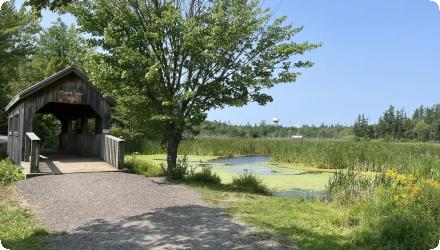
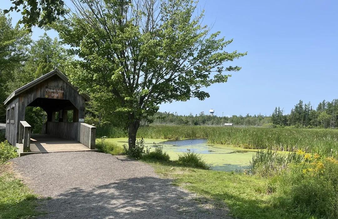
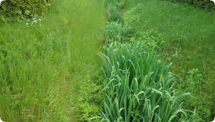
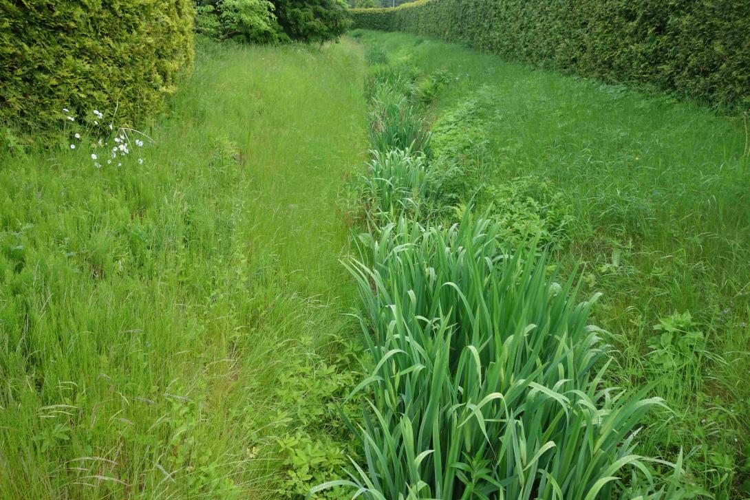
Photo gallery
Summary
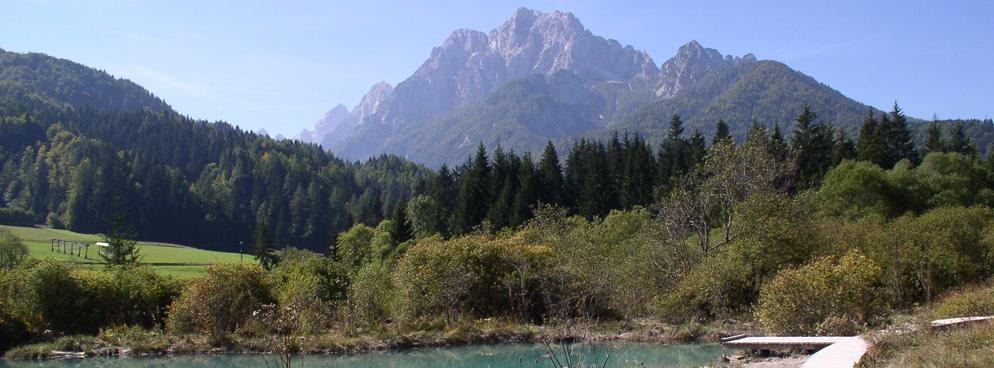
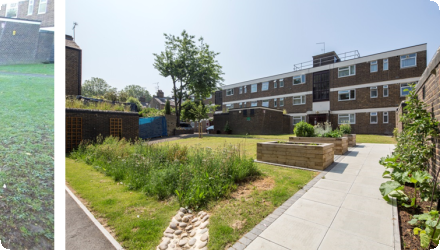
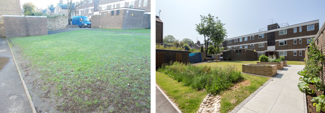
Groundwork London, with Hammersmith & Fulham Council, delivered the LIFE+ “Climate-Proofing Social Housing Landscapes” programme (2013–Sep 2016) across three estates (Queen Caroline, Cheeseman’s Terrace, and Cyril Thatcher/Eric MacDonald/Richard Knight) using affordable, light-engineering retrofits of blue-green infrastructure. The project coupled design with deep resident engagement and training for council staff and local apprentices.
Since completion, City Hall has published per-estate schemes and costs (Queen Caroline ~£254k; Cheeseman’s ~£117k; Cyril/Eric/Richard ~£79k) and a detailed measure matrix (e.g., Schotterrasen at Queen Caroline; trench tree pit at Richard Knight). Monitoring by the University of East London shows strong performance: 100% diversion of rainfall from 3,160 m² of impermeable areas into ground-level SuDS, up to 98% reduction in peak flows from pram-shed green roofs, notable roof-surface cooling during heat events, and ≈1.2 million litres of rainwater retained/diverted annually. Post-project, H&F reports continued roll-out of green roofs and SuDS across estates and highways, with mapping to target new sites. Recognition includes the Landscape Institute’s 2016 College of Fellows’ Award (plus a commendation) and susdrain’s 2018 SuDS Awards (Highly Commended).
Since completion, City Hall has published per-estate schemes and costs (Queen Caroline ~£254k; Cheeseman’s ~£117k; Cyril/Eric/Richard ~£79k) and a detailed measure matrix (e.g., Schotterrasen at Queen Caroline; trench tree pit at Richard Knight). Monitoring by the University of East London shows strong performance: 100% diversion of rainfall from 3,160 m² of impermeable areas into ground-level SuDS, up to 98% reduction in peak flows from pram-shed green roofs, notable roof-surface cooling during heat events, and ≈1.2 million litres of rainwater retained/diverted annually. Post-project, H&F reports continued roll-out of green roofs and SuDS across estates and highways, with mapping to target new sites. Recognition includes the Landscape Institute’s 2016 College of Fellows’ Award (plus a commendation) and susdrain’s 2018 SuDS Awards (Highly Commended).
Last update
2025