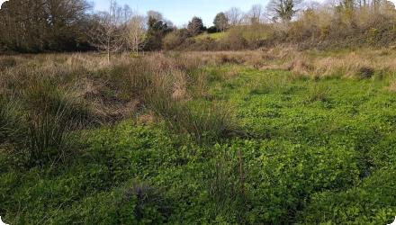
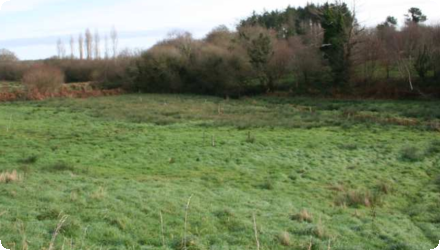
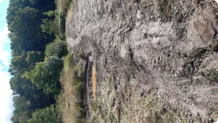
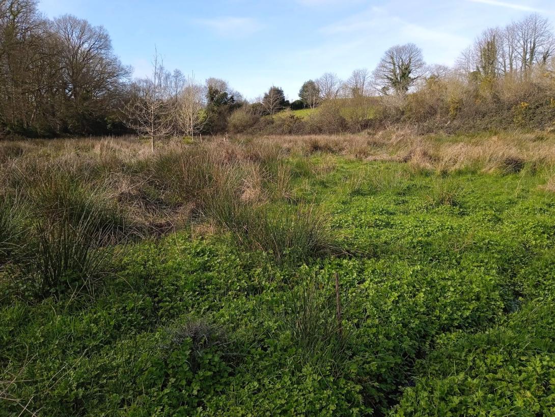
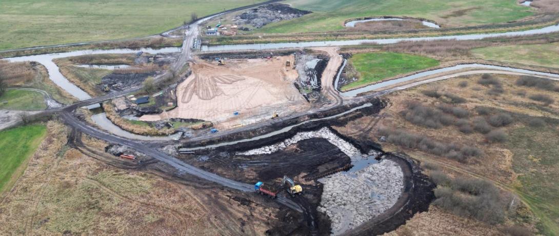
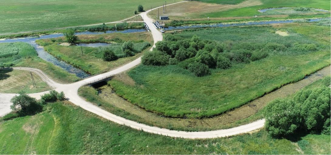
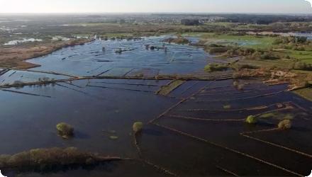
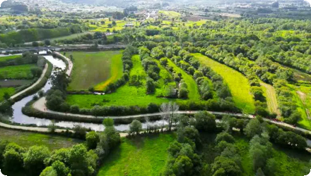
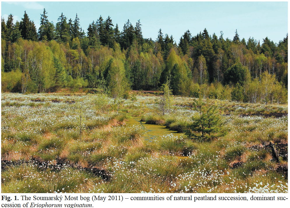
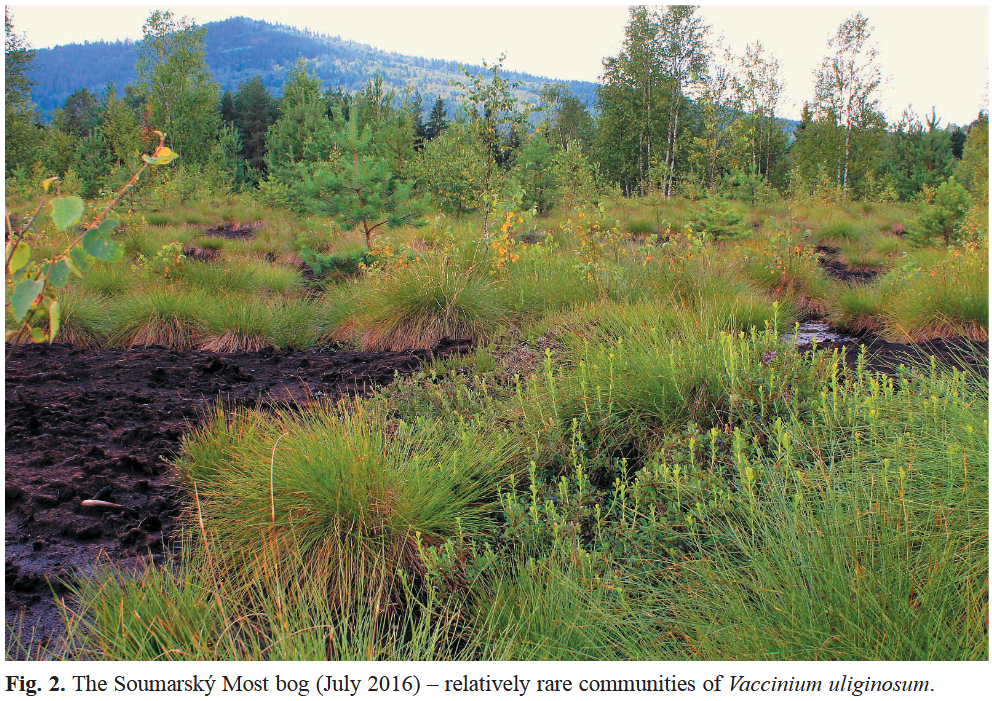
Ongoing

Reconstruction of the hedgerow on the Léguer basin

Summary
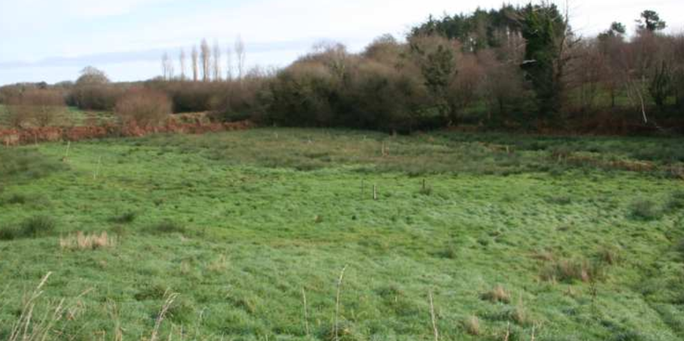
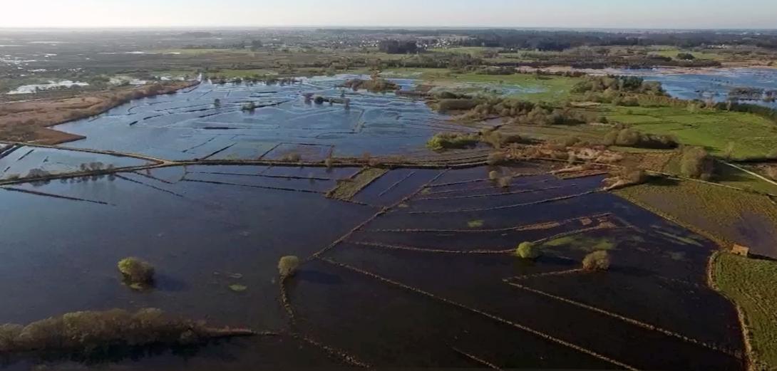
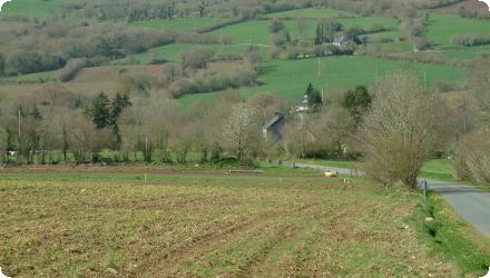
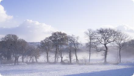
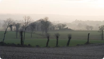
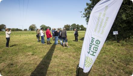
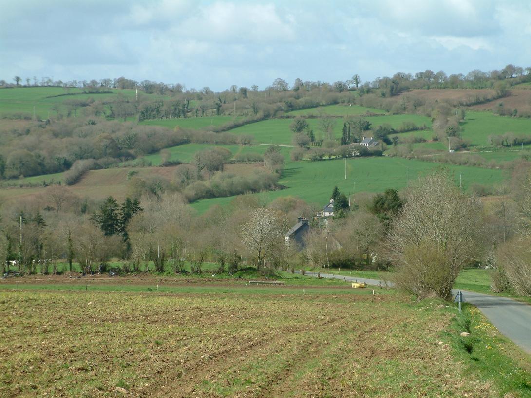
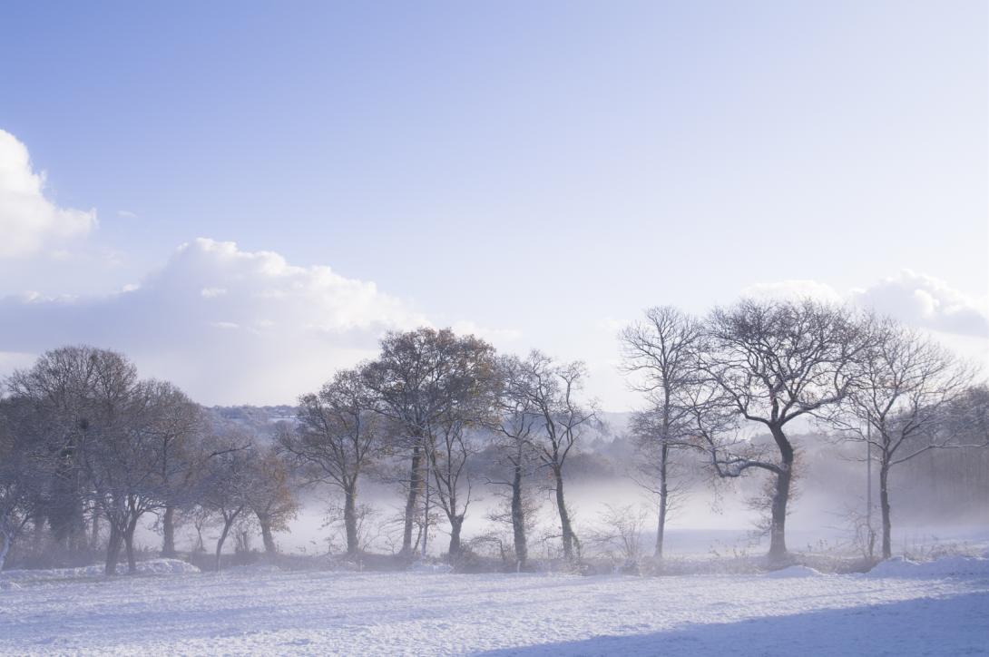
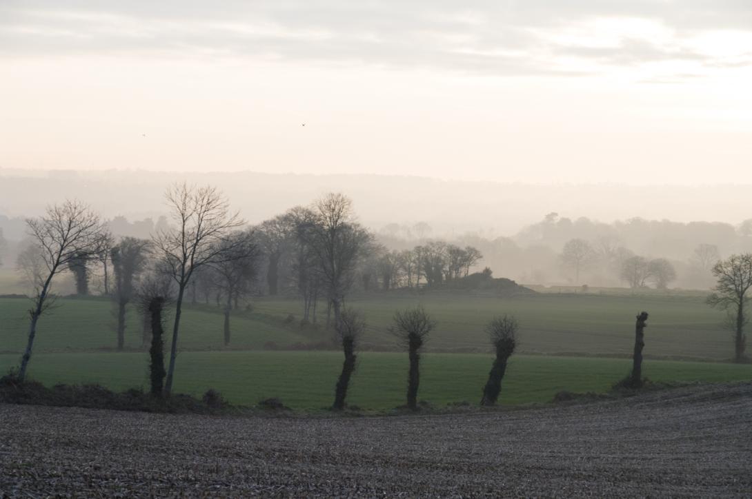
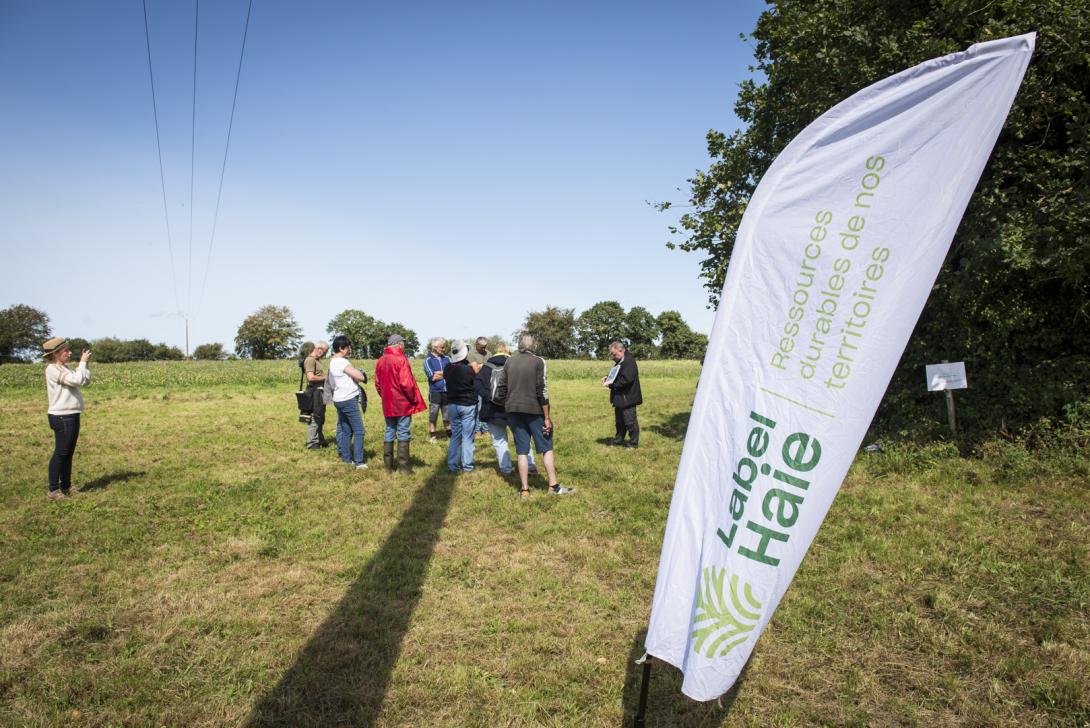
The Léguer River catchment is one of the most hedged areas in Brittany, but has suffered a decline in its hedgerow mesh as a result of agricultural mechanization and land consolidation operations. Faced with the degradation of the Leguer's water quality observed in the 1990s, elected officials in the watershed became aware of the need to preserve the hedgerow, and to consider its restoration to improve water quality. Since 1999, the Leguer's watershed committee undertook awareness-raising of the watershed population, before experimenting with the restoration of hedges and embankments in several pilot basins.

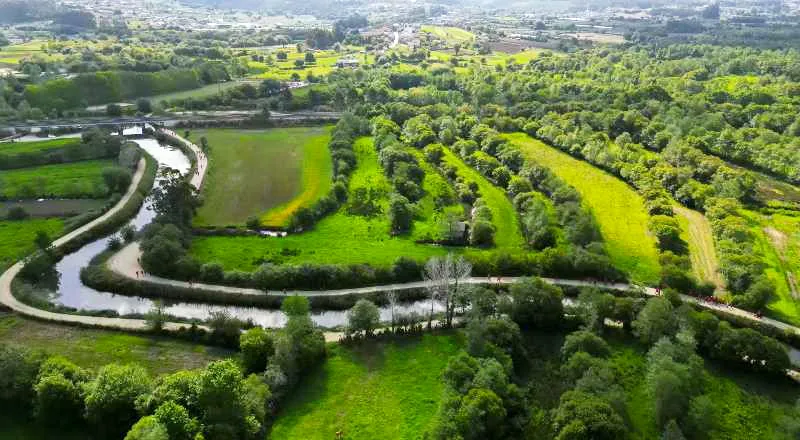
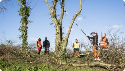
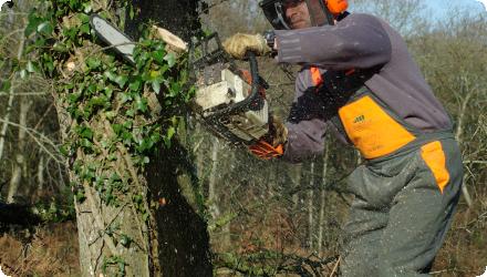
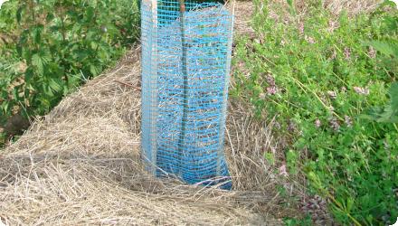
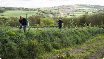
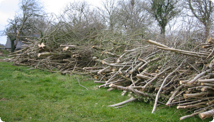
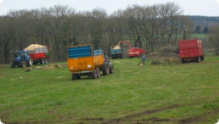
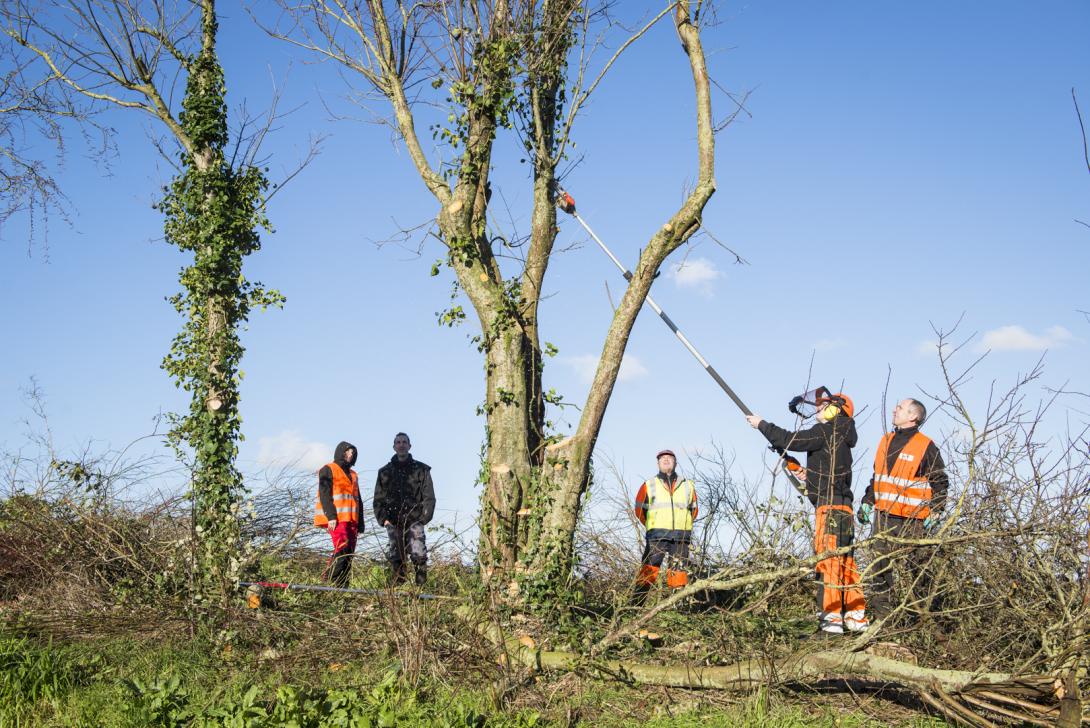
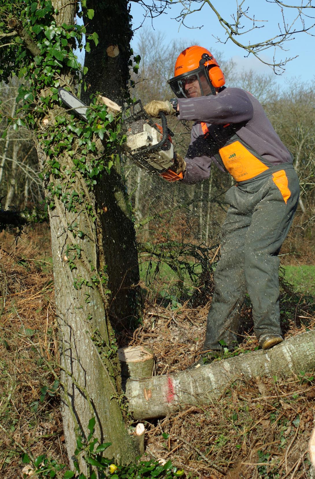
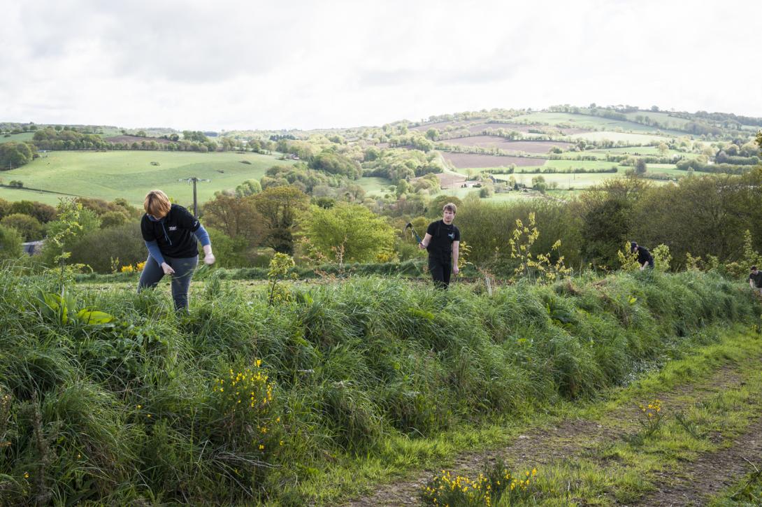
This work was then extended to the entire watershed, leading to the restoration of hundreds of kilometers of hedges and embankments. This action is still ongoing today (with new hedges planted every winter), however no longer managed at the whole basin scale but by different intermunicipalities.

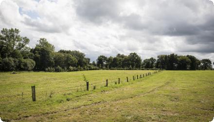
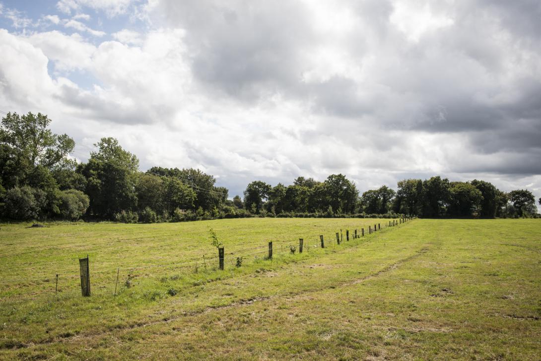
It aims in particular to ensure the sustainability of existing linear thanks to urban planning tools and the promotion of hedged farmland.

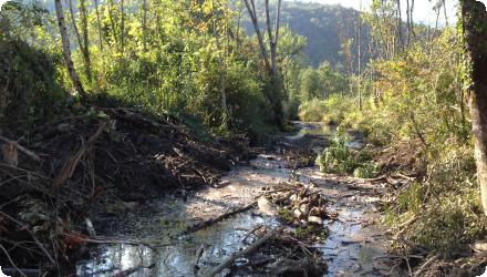
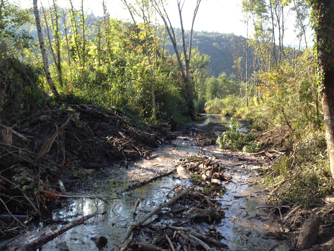
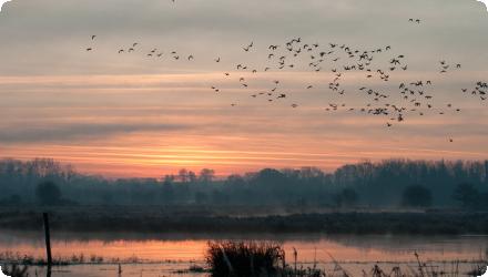
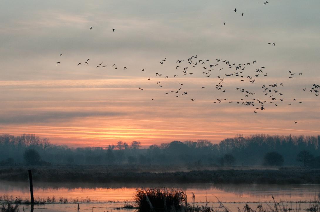
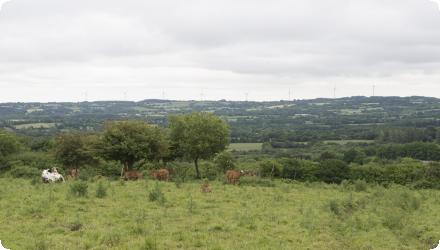
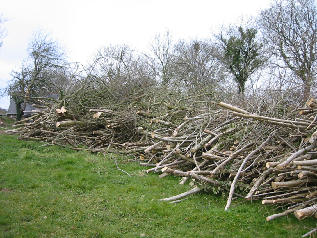
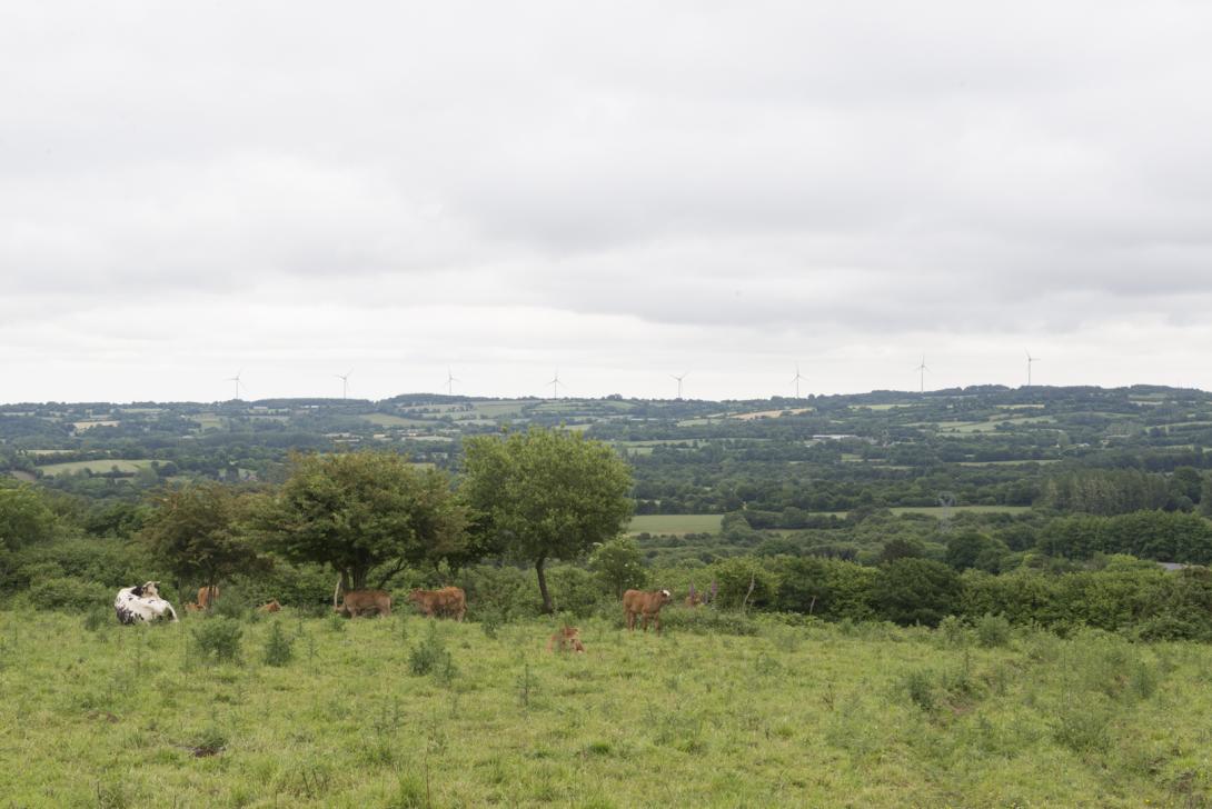
A complementary action comes with the river management (as the Léguer is labellized "Wild River"), which includes riparian forest restoration to create shade on the river and reduction of the risk of water heating, purification processes, biodiversity of the watercourse, etc.

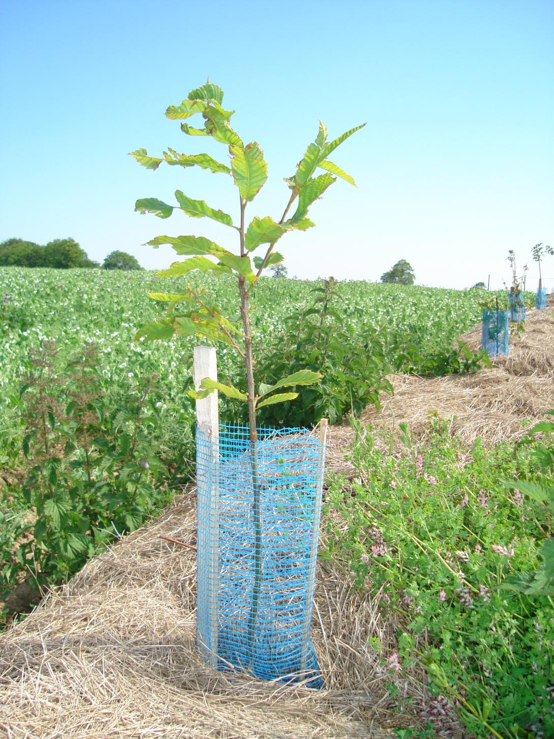
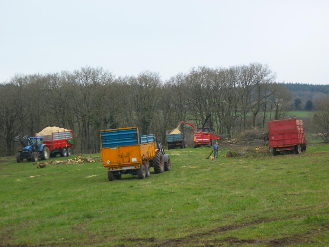
The developpment of agroforestry and intercropping is also being studied to further the agricultural practices evolution in the basin.
Last update
2025

Removal of drainage ditches on wet meadow on Coat Carriou

Summary
Headwater wet meadow (Saint-Évarzec, Finistère) where two drainage ditches short-circuited a hillside spring and routed nitrate-rich flows directly to the stream. In 2014, the ditches were infilled (north ditch partly to keep upstream runoff entering the meadow) and a small berm removed, with protected-species precautions. The short-circuit was eliminated: all slope water now crosses the wetland, maintaining high N removal; soil saturation increased and low-water levels rose slightly near the former ditch. Agricultural operability decreased (bearing capacity), so mowing is now feasible only in very dry years; the plot is used within a Brittany “pie-noir” grazing circuit.

However, the potential for agricultural exploitation since implementation is not as high as hoped, unlike the very satisfying hydrological effect : the meadow remans wet even during very dry years like 2022. The peaty wet part of the site is intentionally left to natural woodland succession (hoping for future understorey grazing), as it is not suitable for agricultural use otherwise.

The project owner/operator is the Communauté de communes du Pays Fouesnantais with RERZH technical support and monitoring. The costs were very low, an excavator hire for ~€560 and the rest of the works costs were included in the collectivity's budget (studies/monitoring covered by RERZH).

More recently, after the initial over-excavation and reuse of oxidised berms diverted part of the spring toward the southern sector, increasing waterlogging and limiting mowing, a corrective package created a small pond at the spring with overflow toward the peatier/northern side, resumed brush-cut mowing to restore a haying dynamic, and reinforced invasive nutria control in 2024.
Last update
2025

Functional restoration of the valley of Saint Ruph-Glière-Eau Morte

Summary
Due to major developments over the past two centuries, the Eau Morte Valley (a tributary of Annecy Lake) has a hydrosedimentary dysfunction with incised areas and areas with sediment excesses and an alluvial marsh disconnected from flooding. To reduce the impacts of the river's floods on uses, and to prevent the risk of urban areas flooding, a functional restoration programme for the valley has been developed by the federation of municipalities of Annecy lake sources. It was based on the renaturation of the Eau Morte bed, the functional restoration of the Giez marsh and the construction of crossing structures. This work has given the marsh a role as a flood expansion area. This project was also carried out by involving local residents in a process of territorial dialogue so that they themselves would be actors in the area and would participate in its management.
Last update
2025

Restoration of the Black Marsh of Saint-Coulban

Summary
Since 1984, the Ille-et-Vilaine Hunting Federation has been restoring a 550-ha peat marsh heavily drained and cropped in the 20th century. Maize fields were converted to hay meadows and pasture through agreements with farmers; a peat bog and a reedbed were restored; and water levels are artificially managed to enable winter flooding. The Méleuc was re-routed into a more natural course. The goals (improve staging conditions for migratory waterbirds and recover marsh functions (carbon sequestration, natural water purification)) have been met for bird use, while water-level management still needs optimisation. Recent sources add that the site forms part of the Ramsar “Bay of Mont-Saint-Michel” and its Natura 2000 network; roughly 380 ha are held by FDC35 and the Foundation for the Protection of Wildlife Habitats. A major reedbed project (“Bois de la Mare”) cleared poplar/spruce to restore ~16 ha of phragmites as compensation linked to the Mont-Saint-Michel maritime project, awarded France’s Ecological Engineering Prize in 2018. Management relies on mowing then grazing via agreements with about twenty farmers; hunting is excluded except targeted wild-boar control, and guided public activities are now offered. In 2021 the regional scientific council (CSRPN) issued a favourable opinion toward designation as a Regional Nature Reserve over a 768-ha perimeter (process ongoing). Winter counts report up to c. 6,000 anatids.
Last update
2025

Wetland biodiversity protection in Kamanos Strict Nature Reserve, Lithuania

Summary
Kamanos Strict Nature Reserve is the largest raised bog (2,434 ha) in the northern Lithuania region (a farming region) with ridge–pool complexes, numerous small lakes (over 120 pools each less than 2 ha in area) and surrounding wet forests. In 65 ha of selected bogs and meadows restored with 18.5 km of ditches dammed Kamanos Strict Nature Reserve. The measures were implemented in the frame of a larger UNDP-GEF project in 2004–2010. Further hydrological restoration was carried out under the LIFE WETLIFE2 project (2014–2018), blocking 37 km of drainage ditches and improving water conditions over 670 ha. These actions supported bog habitats and species like the Aquatic Warbler. The site is now part of the eLTER network, with ongoing ecological monitoring and climate data collection.
Last update
2025

Urban green roofs in Helsinki, Finland

Summary
A series of experiments, created by the University of Helsinki’s Fifth Dimension – Green Roofs in Urban Areas research programme. The green roofs are constructed in nine towns across Finland. The aim is to study green roofs from the perspectives of biodiversity and ecological, social and economic sustainability. A special cost–benefit case study was carried out for Helsinki in 2013. Since then, Helsinki has mainstreamed green roofs in policy and planning: the City’s Green Roof Policy (approved 19 Dec 2016) and a plot-specific Green Factor tool guide zoning and permits; citywide target levels entered into force on 1 Feb 2024 (excluding single/two-family plots). Stormwater management programmes further link green roofs to nature-based solutions. Research in the Helsinki region shows that substrate depth and roof age are key drivers of vegetation; meadow roofs retain and delay runoff in cold climates; vegetated roofs support biodiversity (incl. arthropods and rare snails); and biochar/substrate innovations are being tested with mixed or context-dependent effects. Recent builds in new districts (e.g., Jätkäsaari) demonstrate large, accessible roofs with social uses and ongoing monitoring.
Last update
2025

Restoration of hydrological system in the Middle basin of Biebrza Valley, Poland

Summary
The EC LIFE programme’s co-financed project aims to restore the hydrological system in the Middle Basin of the Biebrza Valley to support the conservation of water-dependent habitats and open marshland bird species. It focuses on controlled water management and re-irrigation to halt the degradation of peatlands within the water system of the Rudzki Canal, Ełk River, Jegrznia River, and Woźnawiejski Canal. Key measures include constructing water retention infrastructure to maintain wetland conditions, especially during dry years.

Phase I (LIFE09, completed in 2016) included redirection of water flows, construction of barrages and thresholds, partial riverbed restoration, land acquisition, and mowing of overgrown areas across 9,000 ha. Phase II (LIFE13) is ongoing and expands interventions to an additional 13,452 ha, aiming to further restore wetland hydrology while maintaining agricultural and tourism use.

Recent works include the construction of a new hydrological junction at Modzelówka, designed to direct approximately 80% of the Kuwaski Canal's flow toward the Rudzki Canal and 20% to the reactivated Ełk riverbed. In 2023, a high-durability PE-HD siphon system was installed to support this redistribution, designed for minimal ecological impact. These efforts have already shown benefits such as improved groundwater retention, reduced fire risk, and better conditions for both biodiversity and local agriculture. Full implementation of Phase II is expected by 2026–2027.
Last update
2025

Baixo Vouga Lagunar (BVL) bocage landscape, Portugal

Summary
This is a traditional practice in the Baixo Vouga Lagunar Area (Aveiro District, Vouga River Estuary, Portugal), since 19th century in order to protect BVL from the tidal floods. Baixo Vouga Lagunar represents a man-shaped landscape working in a dependent relationship between agricultural activities, wildlife and water regulation. BVL includes three main landscape units: bocage (smallholdings bounded by living-hedges and water ditches supplying water for crop and livestock production and also assure the drainage when there is water in excess in the fields), wetlands and open-fields.
In recent years, BVL has become a living lab for climate adaptation and resilience strategies, studied through projects such as ADAPT-MED and Man and Nature in the BVL. Local stakeholders recognize the protective role of tidal defense structures, though awareness of climate impacts remains limited. Efforts continue to promote synergies between nature conservation, agriculture and water management. The area is part of the Ria de Aveiro Natura 2000 site and hosts over 170 bird species, reinforcing its ecological value within a multifunctional landscape.
Last update
2025

Holbina-Dunavat Restoration Project, Romania

Summary
In the Danube Delta Biosphere Reserve, the ARBDD pursued ecological restoration by reconnecting the former Holbina–Dunavăț fish-farm basins to surrounding wetlands through breaches in the ring dikes, restoring natural hydrological exchange. The 5,630-ha complex was investigated from 1994, with works implemented in 2003–2004, and the project is recorded as complete. Post-restoration monitoring by the Danube Delta National Institute (2016–2017) in the Holbina 1 sector reported 25 fish species and a natural fish productivity of ~159 kg/ha/yr, indicating recovery of aquatic habitats. Today these areas are administered within the Biosphere Reserve and continue to appear in ARBDD annual activity reports (e.g., Holbina I, Holbina II, Dunavăț III). Socio-economic use has shifted towards regulated ecotourism and catch-and-release recreational fishing (e.g., Holbina – 3 Bibani), alongside traditional activities. Overall, the project has re-established wetland habitats, breeding grounds for fish and waterbird, and a sustainable local economy based on nature-compatible use.
Last update
2025

Restoration of the Sumava peatbog, Czech Republic

Summary
Soumarský Most (Šumava NP) is a raised bog once almost destroyed by industrial peat mining. In 2004, the park and local authorities restored the site with national funding, re-establishing wetland and peat-forming vegetation and improving the water regime; hydrology and vegetation were monitored from 2000–2011. Soumarský Most is the first former industrial restored bog in the Sumava region. Since then, outcomes are visible on the ground: a 1.5-km nature trail opened in 2012 to interpret the restoration, and in 2022 the boardwalk had to be rebuilt as groundwater has steadily risen for nearly two decades : evidence the rewetting is functioning. In June 2025 the wooden lookout tower was closed for safety and is being redesigned; the trail remains open. Biodiversity has responded: 371 moth and butterfly species were documented in 2011–2016, including bog specialists recolonising from nearby peatlands. Community involvement continues, e.g., volunteers built peat dams on drainage channels in 2019 to further raise water levels. Overall, Soumarský Most shows lasting hydrological recovery and conservation benefits following peatland restoration.
Last update
2025