Completed

Summary
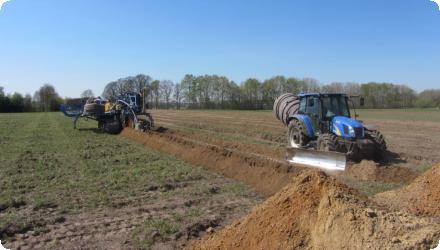
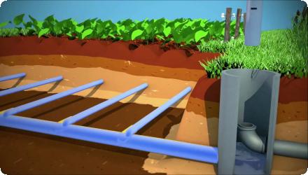
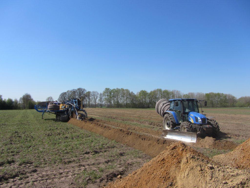
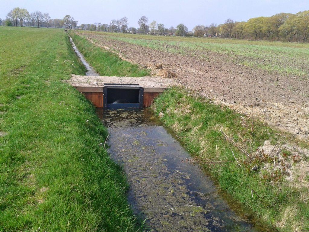
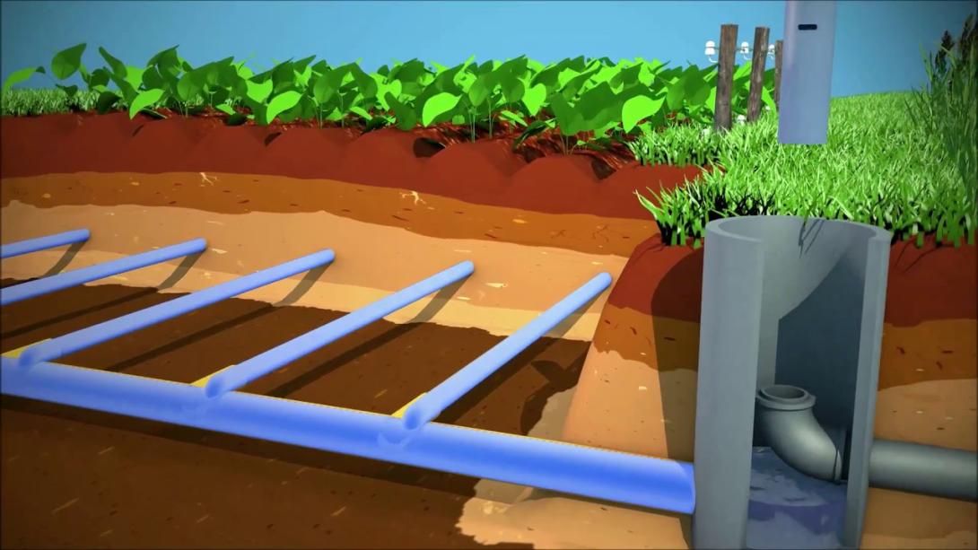
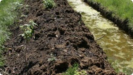
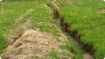
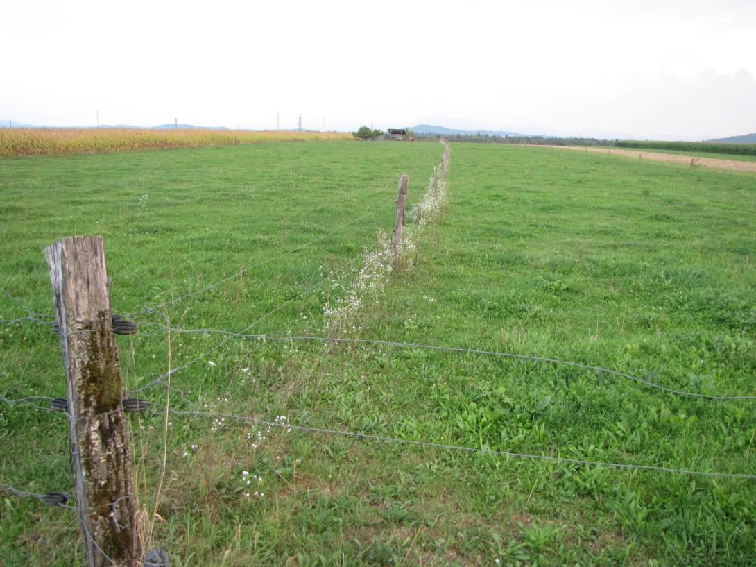
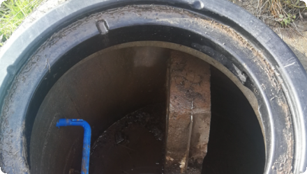
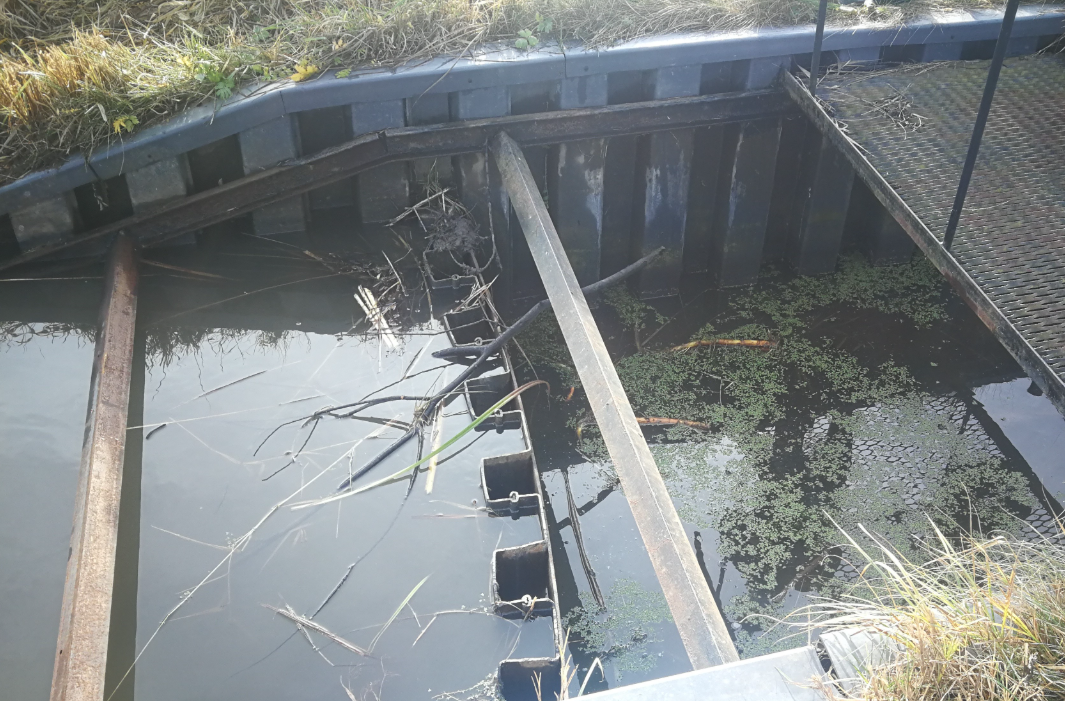
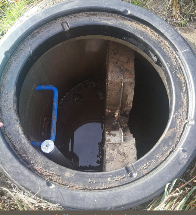
This case study documents applied research in Flanders that tested and scaled controlled drainage and simple adjustable weirs on arable land. The LEADER Drainage Plus pilot (2016 to 2019) converted nine parcels totalling 35 ha from conventional systems to level-controlled drainage, installing control pits and combining on-farm demonstrations with monitoring and modelling led with the Belgian Soil Service. The goal was to retain winter water in the root zone, reduce downstream peaks, and improve yields in a region facing summer drought and wetter winters. The project showed that, on suitable flat and permeable fields, controlled drainage increased crop growth, with income gains from about €100 up to several hundred euro per hectare depending on crop and year, and it triggered wider farmer uptake.
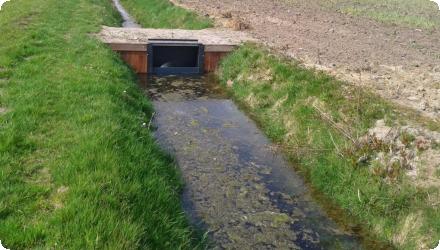
Follow-up regional work expanded monitoring and practical guidance (Van Landbouw tot Waterbouw) and OP-PEIL is mapping where conversion is technically and economically viable; weirs were promoted as fast, no-land-take devices to hold ditch water with siting criteria. Field rules of thumb were consolidated: a 10 cm groundwater rise can add roughly 30 to 35 mm evapotranspiration and about 1 t/ha dry matter; maize water stress can be postponed up to two weeks; indicative local storage is about 500 m³ per hectare. Barriers included permit complexity for each weir, costs and the legacy preference for fast evacuation. Typical costs reported are about €2,000 per hectare when reusing drains, about €4,500 per hectare for full renewal, and about €4,500 per weir. A major outcome was policy change: Flanders created a subsidy for controlled drainage (75 percent support up to €2,000 per hectare) and 100 percent subsidy for weirs with limited budgets, directly linked to the early pilots. Today the pilot is finished, follow-ups delivered monitoring and guidance, and conversions continue where site conditions and farmer motivation align.
Last update
2025
Summary
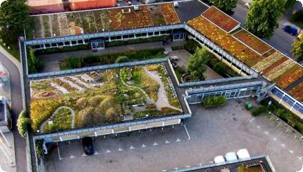
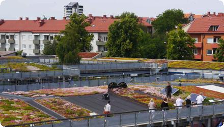
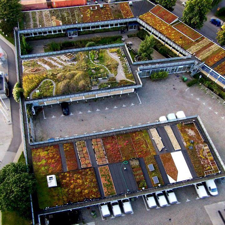
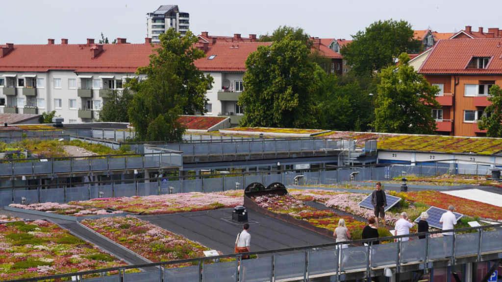
Augustenborg’s Botanical Roof Garden is a large, publicly accessible green roof complex built within the Eco-city Augustenborg regeneration in Malmö. It was created to reduce local flooding and to add green space and wellbeing benefits in a district facing social challenges. The City of Malmö led and funded the installation. The Scandinavian Green Roof Institute provided maintenance and outreach. SLU and Lund University carried out long-term monitoring.
About 9,500 m² of extensive roofs were implemented on buildings with low load capacity, following Agenda 21 principles for local stormwater management. The roof garden was tied to the wider Ekostaden programme alongside open stormwater elements at ground level.The botanical roof garden opened to the public in 2001 as part of the award-winning Eco-city Augustenborg project.
Hydrologic performance has been documented on thin sedum-moss systems typical of southern Sweden. Monthly water balance studies show much lower annual runoff than hard roofs due to evapotranspiration. Field capacity is about 9 mm. For peaks, a 1.5-year runoff corresponds to only a 0.4-year rain, indicating strong detention. At the district scale, the regeneration report states that green roofs intercept roughly half of total annual runoff.
Vegetation studies on similar Malmö-region roofs found sedum dominance and limited spontaneous diversity in unfertilised thin systems. Over 2 to 22 years, substrates accumulate nitrogen, with estimated gains around 2.9 g N/m²/yr, while plant biomass and diversity remain broadly stable.
Governance and financing sat with the City of Malmö, complemented by national funds, LIFE and research councils. Community discussions accompanied the broader open stormwater redevelopment, with some concerns about space use and perceived costs. A local assessment notes costs were not higher than rebuilding underground drainage, though operating costs can be higher and co-benefits are hard to monetise.
Today, formal maintenance is very limited and the roof garden project itself is reported as closed, while research on Augustenborg-type roofs continues through universities.
Last update
2025
Summary
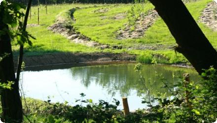
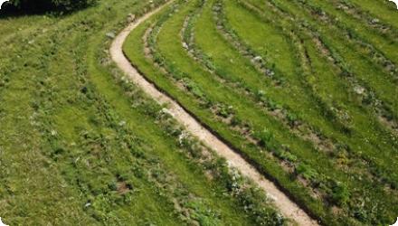
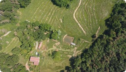
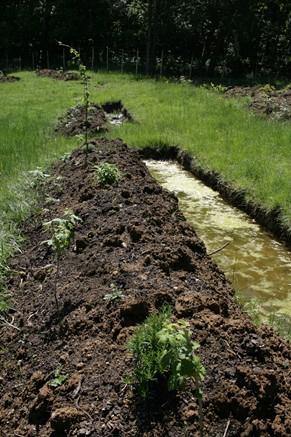
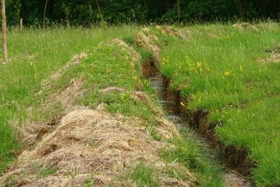
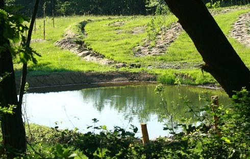
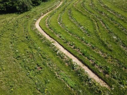
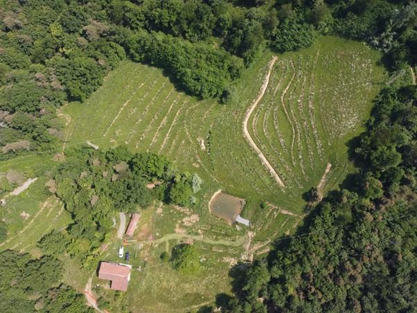
This project is a permaculture-based regenerative agroecological farm and agritourism initiative located in Cairo Montenotte, Italy. It integrates syntropic planting, swales, and keyline water management to create a resilient, productive farm that harmonizes with the natural Mediterranean mountain environment. The design focuses on water infiltration, soil fertility, biodiversity enhancement, and establishing a low-stress, small-scale business producing organic food and offering educational workshops.
Last update
2025
Summary
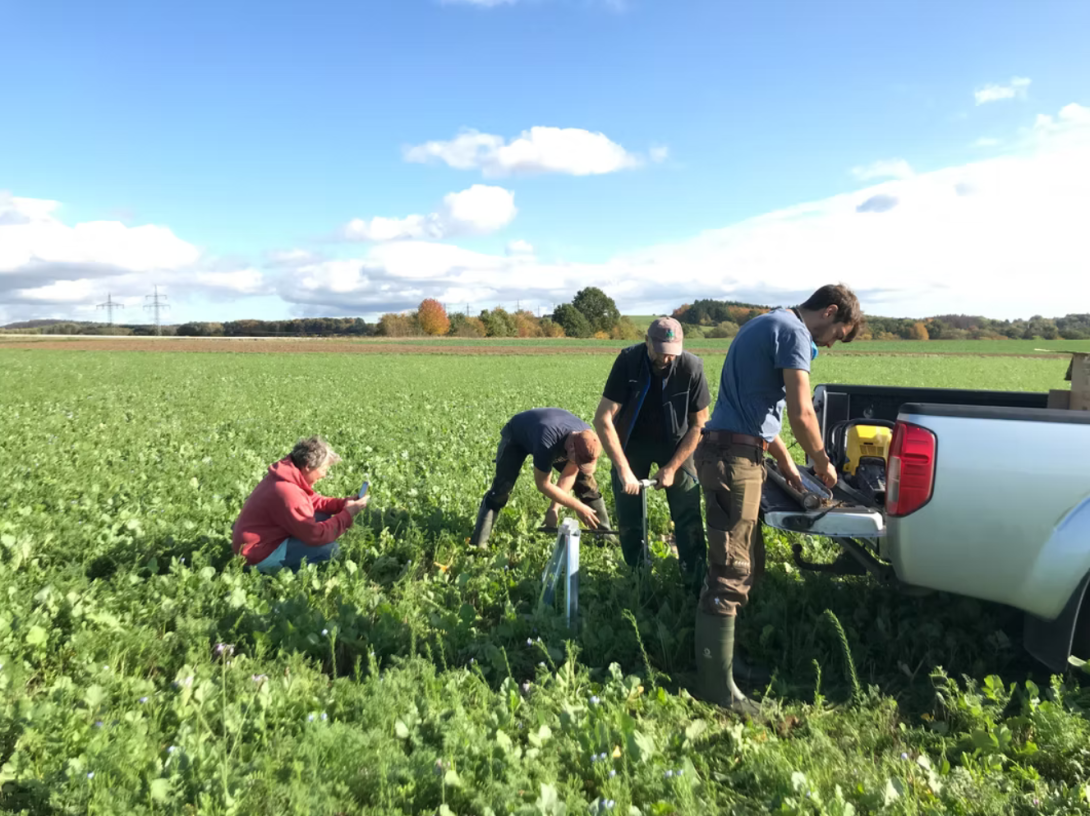
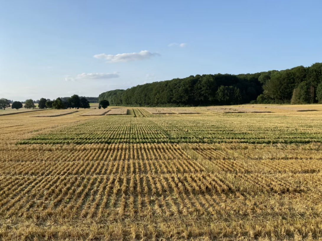
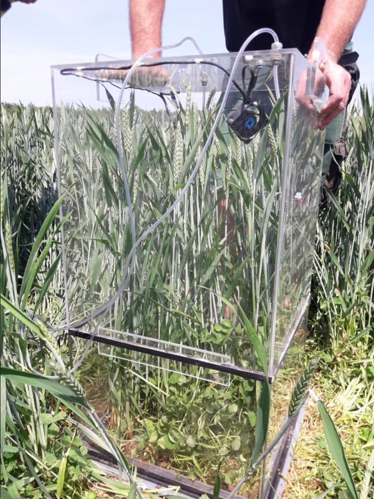
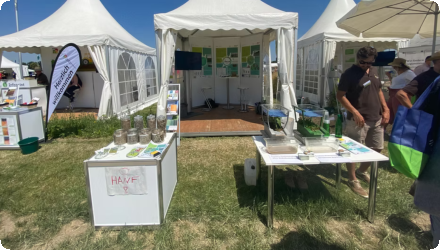
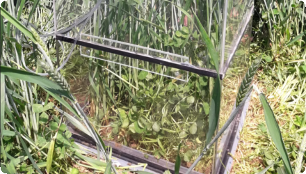
EIP-AGRI Operational Group “DaLeA” tested a clover-based permanent living mulch interplanted with arable main crops to suppress weeds, regulate soil temperature, retain water and minimise tillage, while assessing feasibility, transferability and economics across three years and three sites.
Last update
2025
Summary
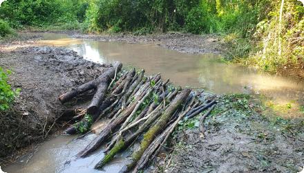
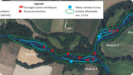
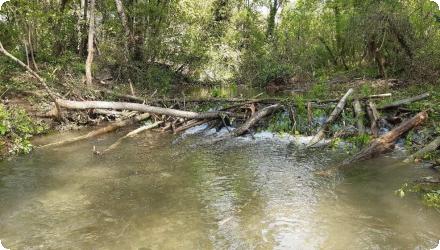
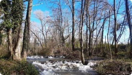
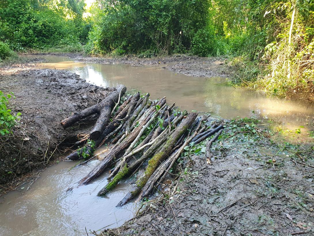
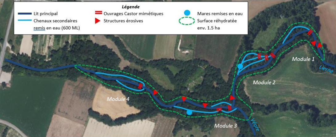
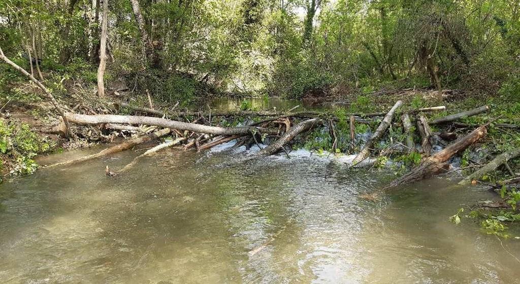
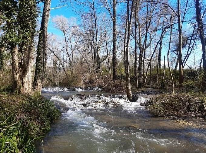
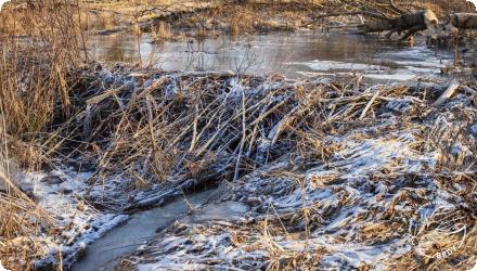
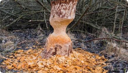
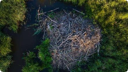
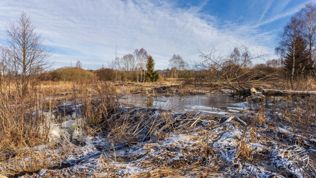
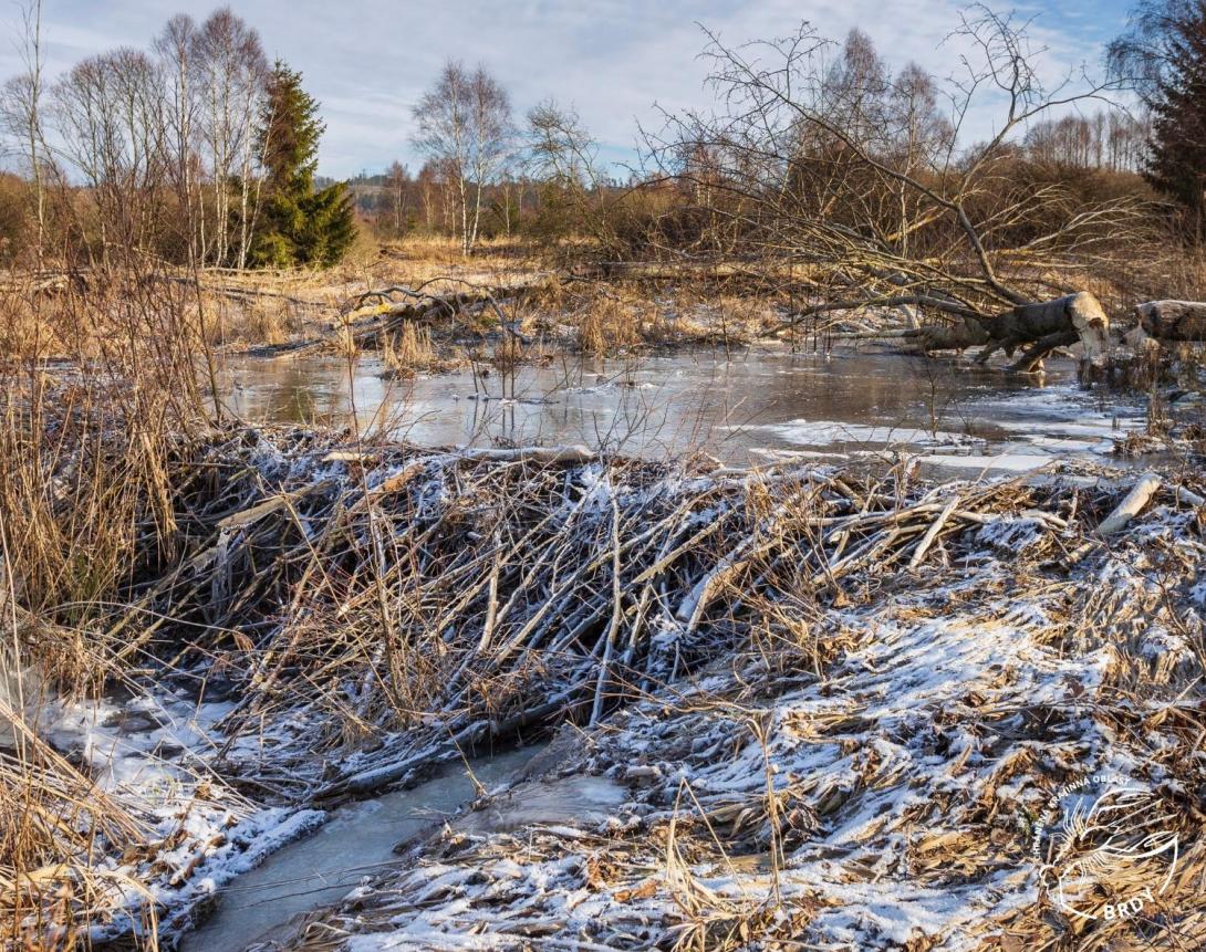
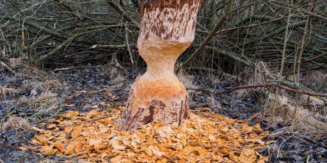
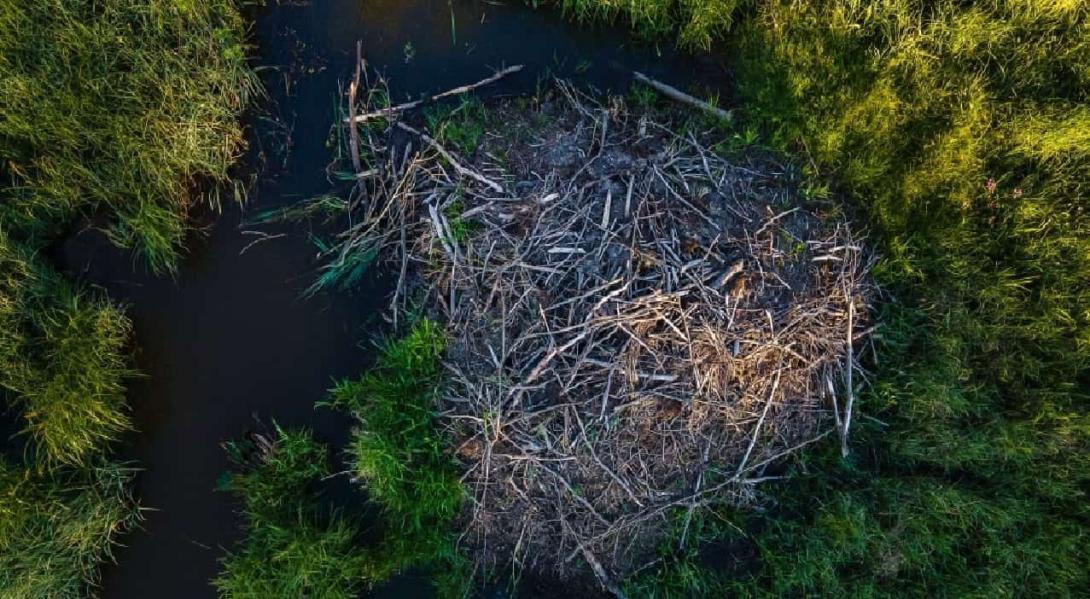
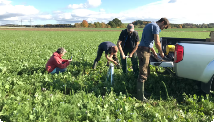
Low-tech regeneration of functional processes in waterways and wetlands based on beaver ecology and differentiated management of driftwood and woody debris. A gentle, non-intrusive, adaptable, and reversible operation. The project was carried out on the Lierne and Véore rivers (Drôme, France) to restore degraded river sections by using low-tech structures inspired by beaver dams. Over three one-week phases (spring 2023 and twice in spring 2024), river agents from Valence Romans Agglo built around fifteen structures using only local wood and hand tools. These interventions aimed to reconnect incised channels with their alluvial terraces and rehydrate former side channels. The works were performed without heavy machinery or imported materials, during a practical training led by Association Rivière Rhône Alpes Auvergne (ARRA²). Visible results include lateral river reactivation, aggradation of the riverbed, slower flows, and restored hydrological complexity. Several secondary channels and wetland areas have been permanently reconnected. The site now shows a clear diversification of aquatic, subaquatic, and wetland habitats, including backwaters, forest ponds, sediment deposits, and newly humidified vegetation zones.
Last update
2025
Summary
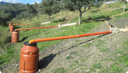
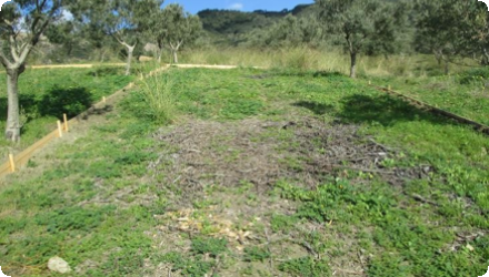
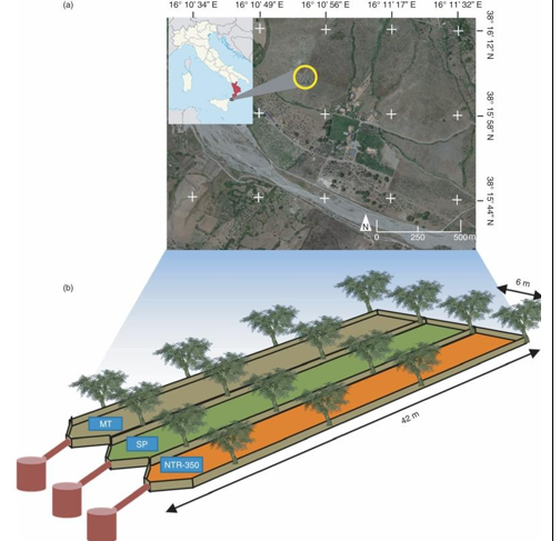
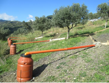
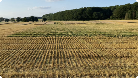
This study assessed saturated hydraulic conductivity (Ksat), surface runoff (SR) and soil erosion (SL) under rainfed conditions, at plot scale, over two years, under four different management practices: total soil cover with netting (SP), mechanical tillage (MT) and mulching with plant residues at doses of 3.5-10³ and 17.5-10³ kg ha-¹ of dry matter (NTR350 and NTR1750), in an olive grove in Calabria (Southern Italy). Overall, the results quantified the impact of mulching with pruning residues, applied at different doses, providing useful guidelines to control and mitigate the hydrological response of clay and sloping soils in Mediterranean olive groves, analysing the environmental benefits and associated economics.
Hypothesis – that not working the soil and mulching with pruning residues can significantly reduce runoff and water erosion and improve soil properties compared to conventional tillage – has been confirmed.
Last update
2025
Summary
Sponge Scapes case study UK 04

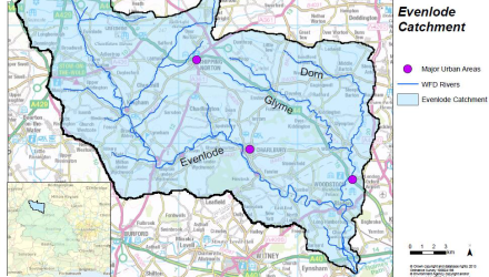
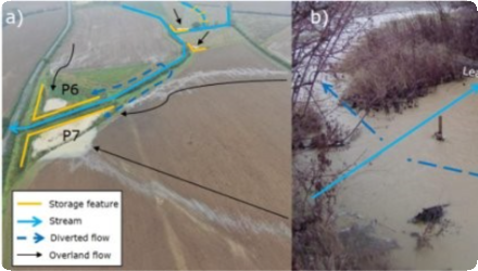
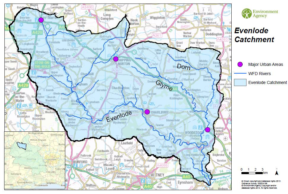
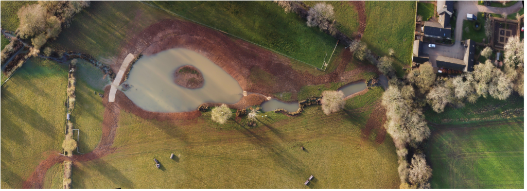
Natural Flood Management was trialled in Littlestock Brook (16 km²) in the Evenlode catchment during a 5-year project (2016-2021). It was one of the first of its kind in the Thames Basin.

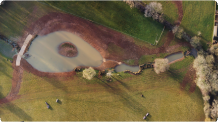
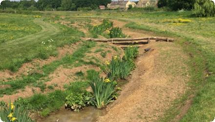
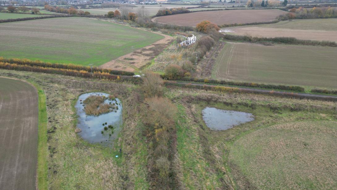
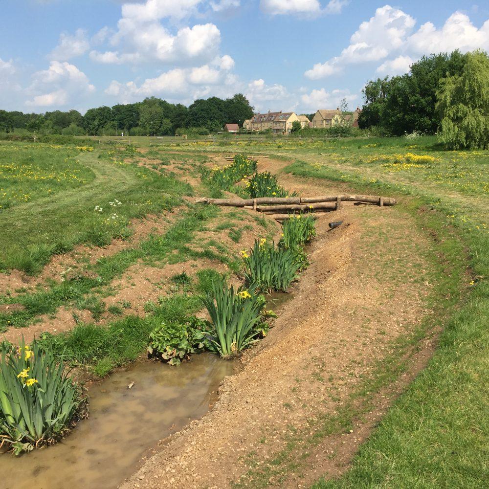
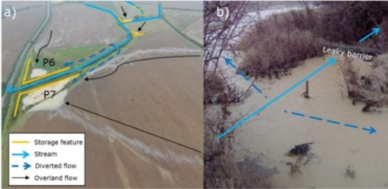
The measures aimed to retain and store more water across the catchment to slow the flow (through field corner bunds, woodland planting, leaky woody dams and inline ponds) and improve water quality, ecosystems services, habitats and carbon sequestration (through nutrient retention ponds, planting of riparian woodland, restoration of wetlands).


Within the broader Littlestock Brook (LB) Natural Flood Management (NFM) project started in 2017, SpongeScapes is monitoring in detail NFM measures in Zone A of the south branch of LB (LBSB).
Namely, we monitor a segment (zone A) of the LBSB that encompasses 4 field corner bunds, 3 inline ponds, plantations of wet woodland and 3 woody leaky dams, for understanding the integrated effect of all these measures together on downstream water level and flow. We also monitor water level and flow for overall LBSB and north branches (though not completely similar, they approximate to paired subcatchments where LBSB has the NFM measures while northern branch acts as comparison) just upstream of the village to study overall impact of the NFM project on flooding on homes.
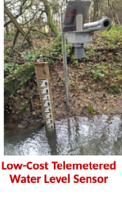
Even more specifically, we monitor the water level, aquatic macroinvertebrate and macrophyte families in two of the three inline ponds, the largest corner bund, and several reaches of the LBSB in Zone A. We also monitor water temperature and light in ponds, bund and stream, and sediment deposition in the 3 inline ponds and the largest bund.
There are rainfall gauges in Zone A upstream and by the village downstream.
Additionally -and to link to runoff from uplslope fields (and our other ag sites in the Thames basin)-, we monitor soil moisture hourly in vertical profiles in 3 locations, and do seasonal soil surveys (bulk density, soil organic matter, water retention characteristics, infiltration and percolation rates).
Last update
2026
Summary
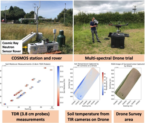
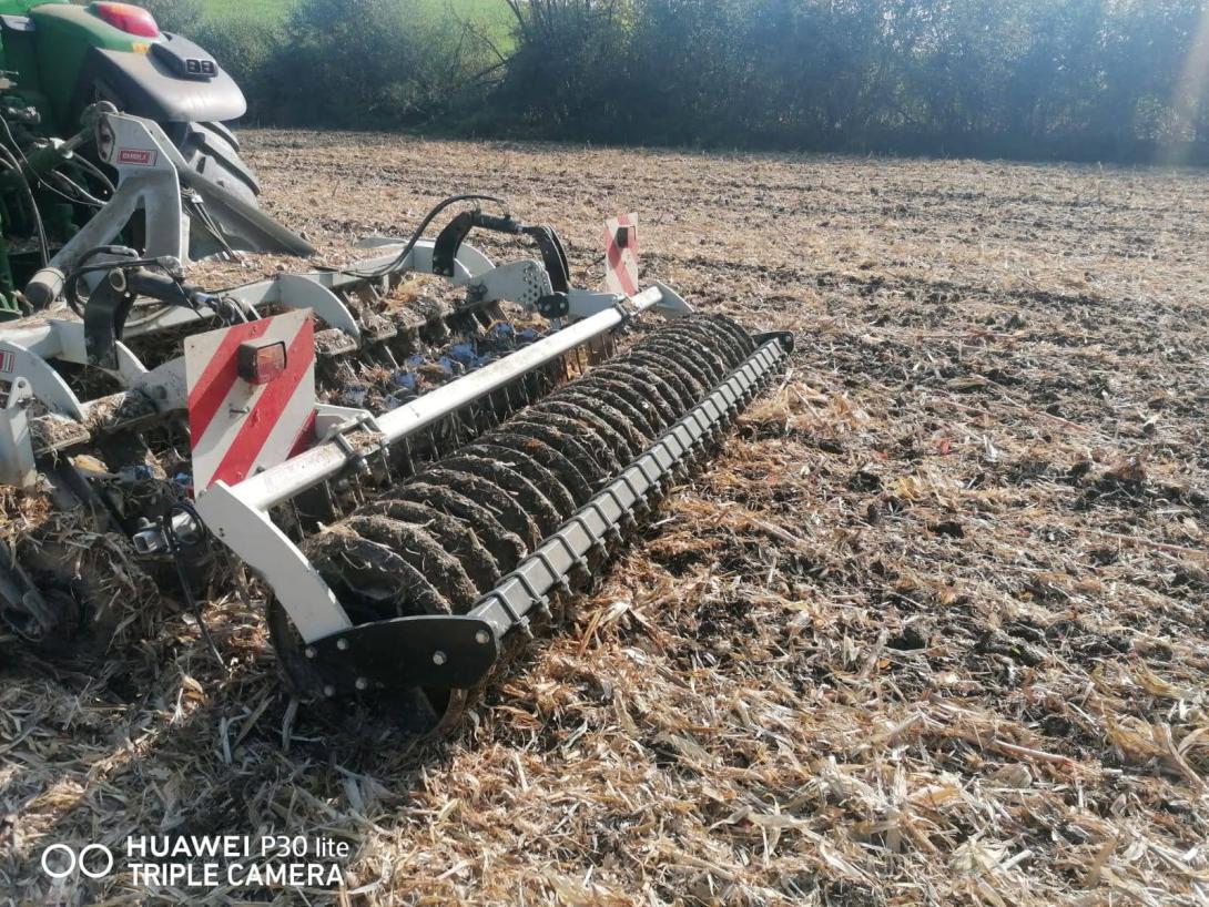
The Pesnica river catchment is characterized by intensive agricultural production, mainly cattle/pig breeding and arable farming. In spring and summer, the catchment is exposed to drought, while in autumn and winter to severe precipitation events. Soils with a high proportion of clay, which are subject to rapid surface runoff, erosion and nutrient leaching, are further contributing to unfavourable conditions. Market requirements regarding quality and reliability of production are leading towards changes in the tillage technology, but also towards searching for reliable water sources and economically efficient, yet sustainable measures for the longest possible retention of water in the soil.
Last update
2025
Summary
Dotnuvėlė river basin covers 192.7 km2. Four reservoirs are situated in the area: near Mantviliškis, Akademija, Dotnuva and near Kėdainiai. The Dotnuvėlė basin is in the Central Lowlands of Lithuania, which is rich in moist soils. Agricultural areas account for 69.2%, forests and other natural areas for 24.5%, artificial surfaces - 5.8%, and water bodies make up only 0.5%. State river monitoring is carried out for this river. The ecological status of the Dotnuvėlė river corresponds to poor (upstream) and medium (downstream) classes.

The OPTAIN project will support the case study team with identifying and developing efficient land management strategies and small technical solutions to improve the soils’ infiltration and water holding capacities as well as its capacity to filter, buffer and transform pollutants.
Last update
2025
Summary
Bas-Rhin is highly exposed to muddy runoff during spring–early-summer storms, impacting villages downstream of cropped slopes. Since 2008, the Chamber of Agriculture and local authorities diagnose erosion risk at commune scale and co-design preventive measures (concerted crop rotations, a gradual shift to no-till) and curative “soft hydraulics” (dense hedges and live/dead fascines, grass or miscanthus strips), implemented by municipalities or intermunicipal bodies.

Since 2018, the Eurométropole de Strasbourg holds competence for runoff/erosion control. With BRGM, it uses the WATERSED model to rank 96 catchments across 14 at-risk communes and update priorities each year; modelled sediment reductions are typically 50–95% (and >60% for a 10-year storm once devices are in place). Implementation is formalised through 10-year contracts with farmers, with standard annual compensation per area. By 2019–2023, about 129 devices (~9.9 km) were (re)installed under 53 conventions. Recent municipal programmes combine agronomy with hedges/fascines/miscanthus and resized swales (e.g., Eckwersheim), while other communes report site-specific packages (e.g., Lampertheim: 600 m of live fascines and 200 m of grass strips). Regional guidance (DREAL Grand Est) and AERM support frame the approach at departmental/basin scales.
Last update
2025