Photo gallery
Summary
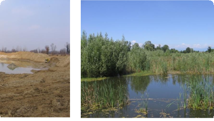
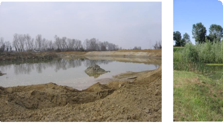
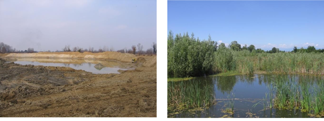
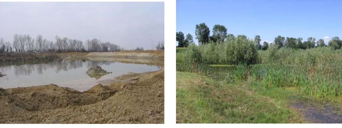
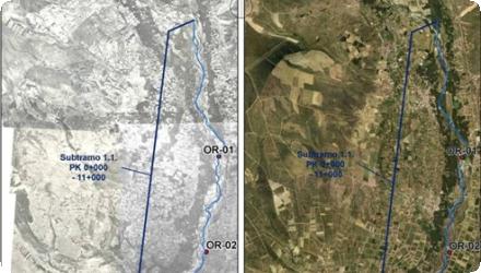
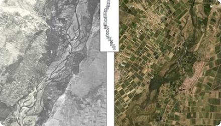
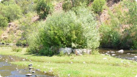
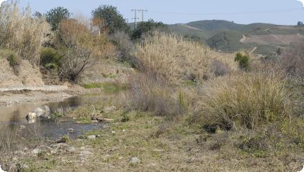
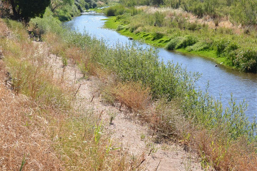
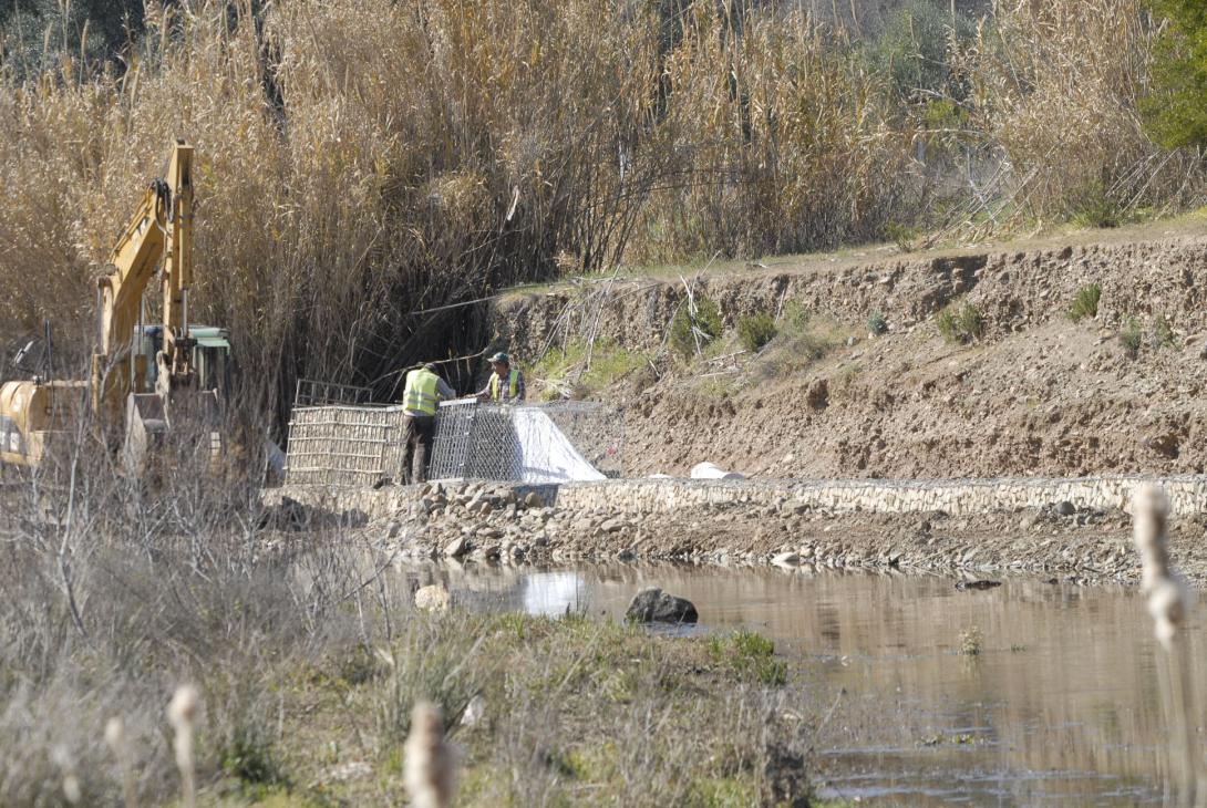
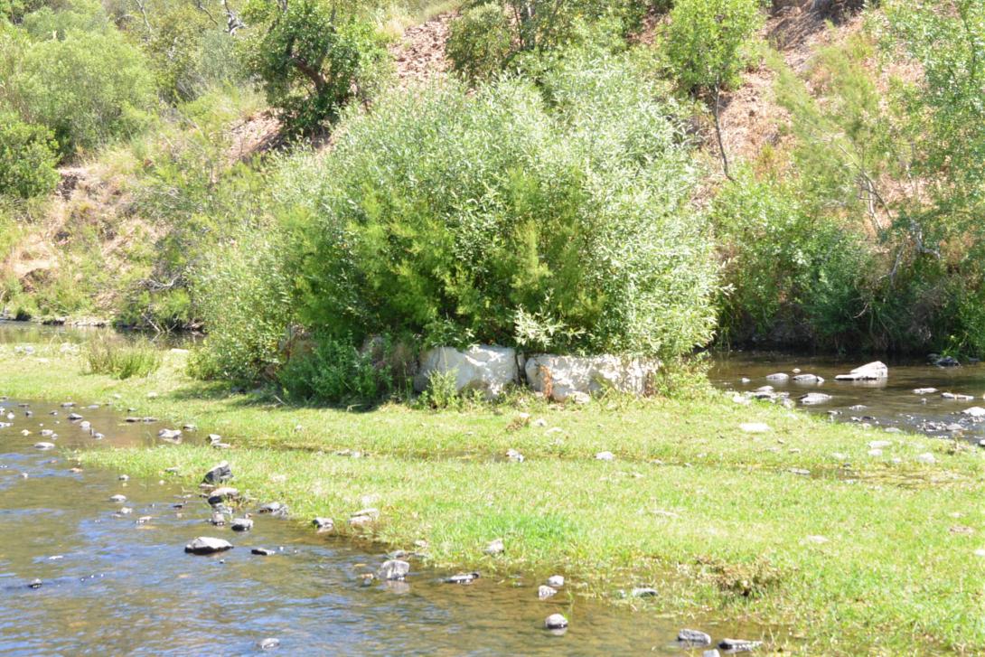
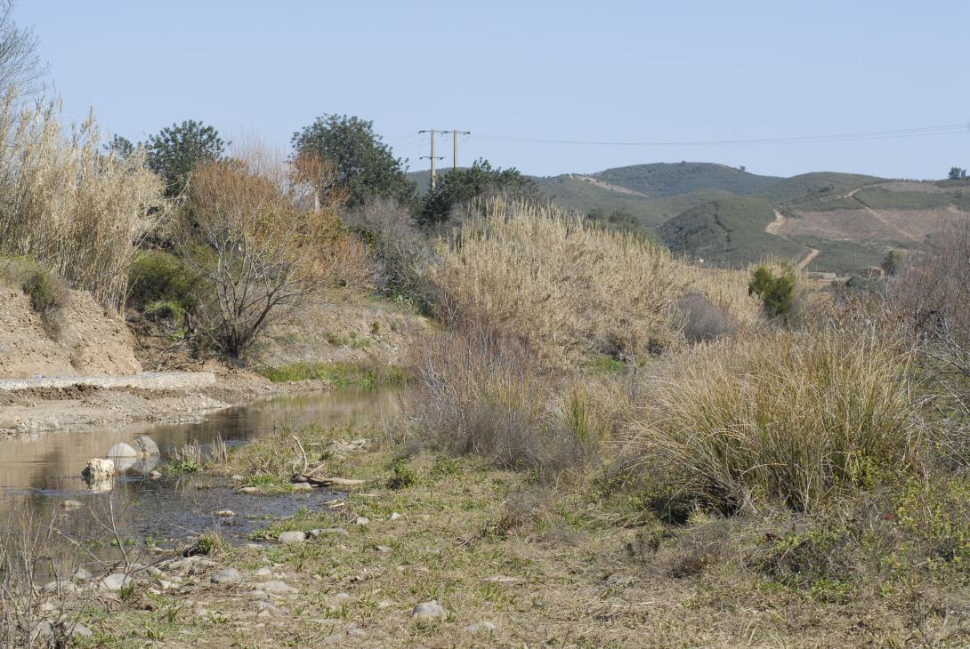
The Odelouca River: Natural bank stabilization and riparian buffer galleries as part of mitigation and compensatory measures and through the use of bio-engineering techniques.
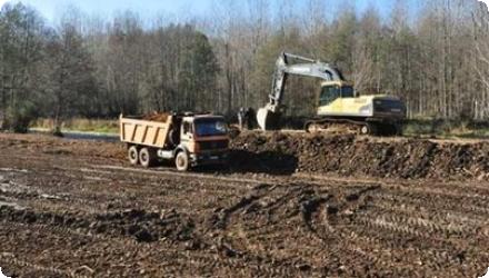
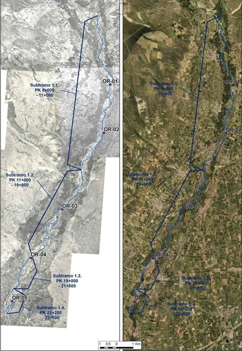
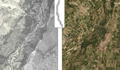
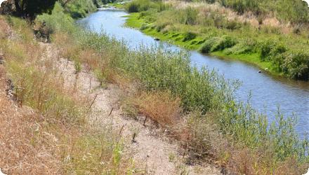
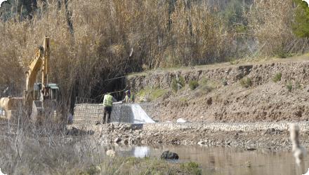
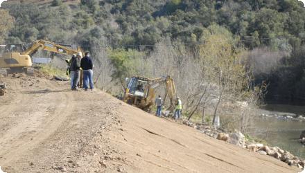
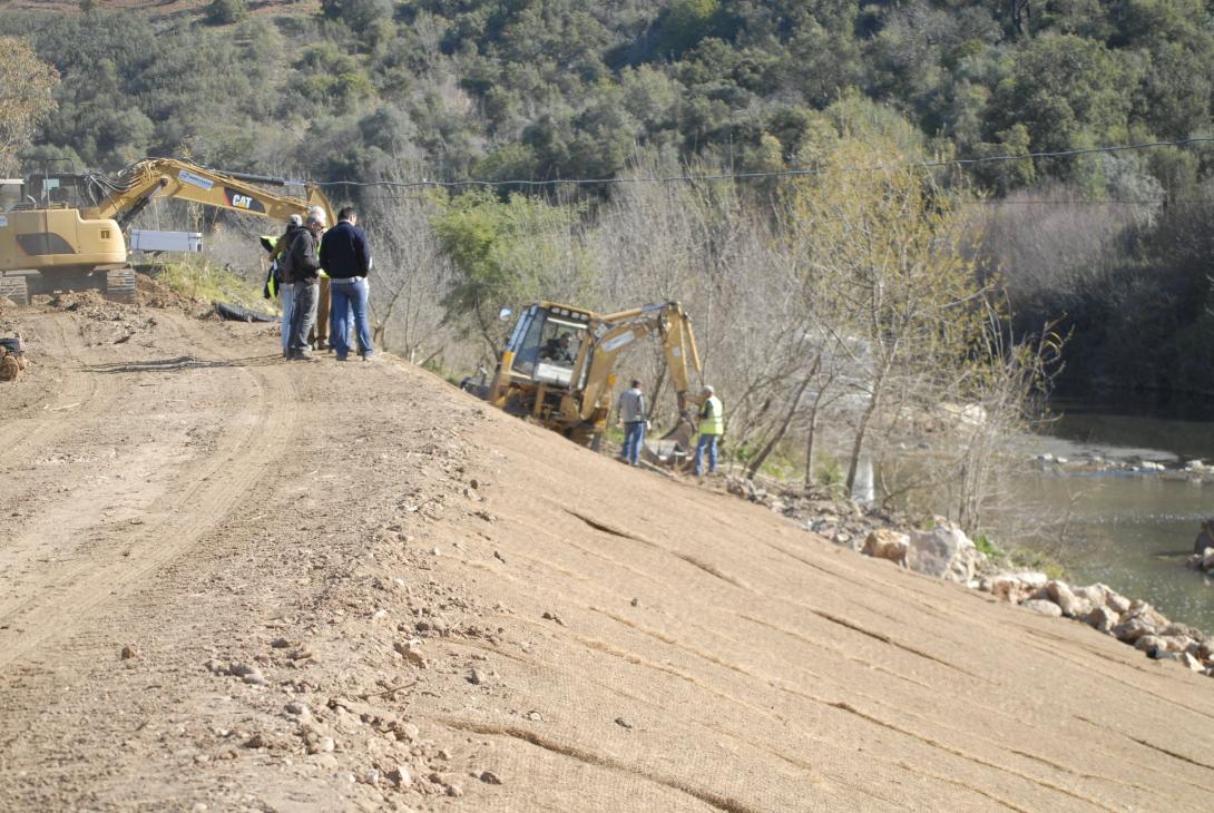
This project carried out in the Odelouca River (sub-catchment of the Arade River Basin, Algarve Region, South of Portugal) entailed the implementation of measures focused on the use of bio-engineering or natural techniques for rehabilitation of riparian buffer zones and river banks (such as river banks resectioning and placement of geotextile; live crib walls and vegetated gabions/rock armour construction and placement; planting of rehabilitated banks with native plant species; construction of artificial islands in the river channel, and clearance of invasive riparian plant species).
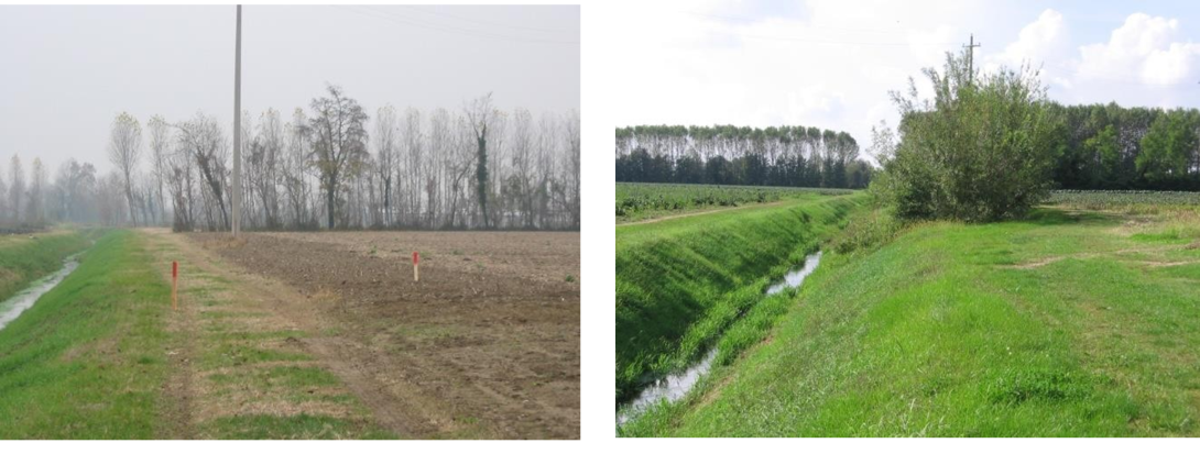
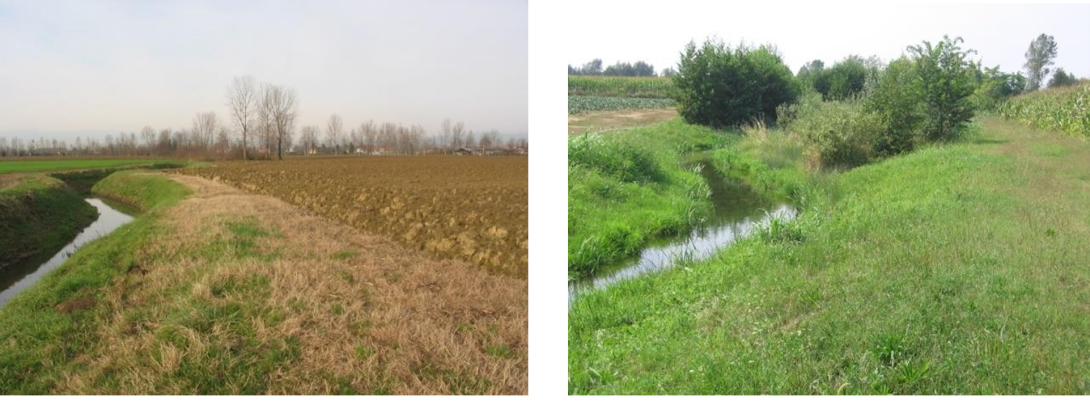
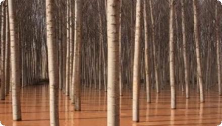
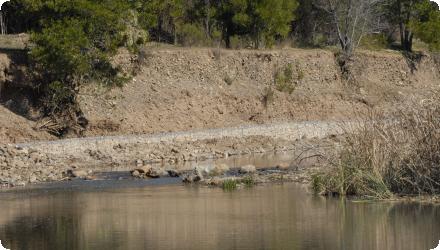
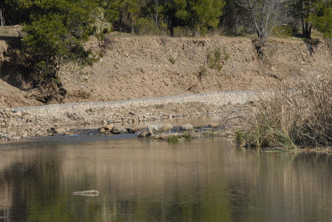
Today it remains a relevant and effective implementation. However it needs restoration, but there is apparently no intention to restart the project to the original goals.
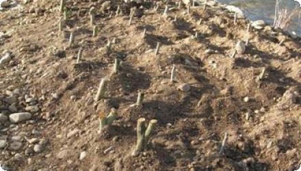
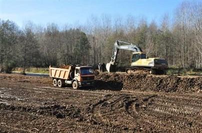
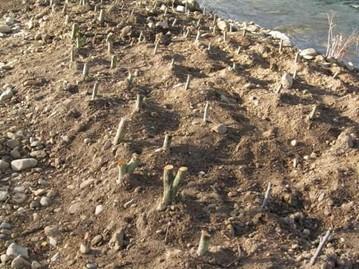
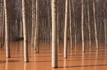
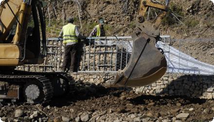
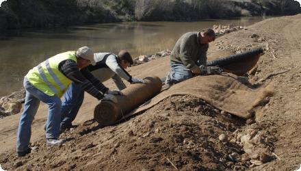
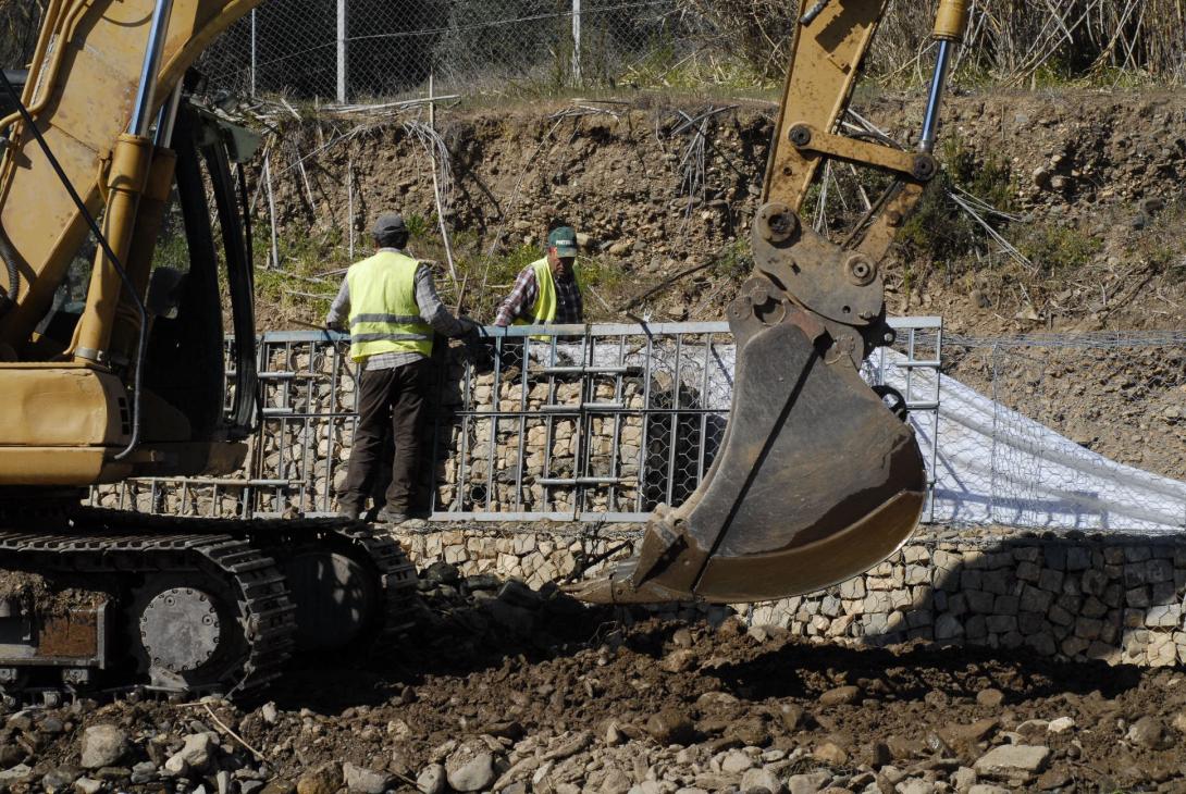
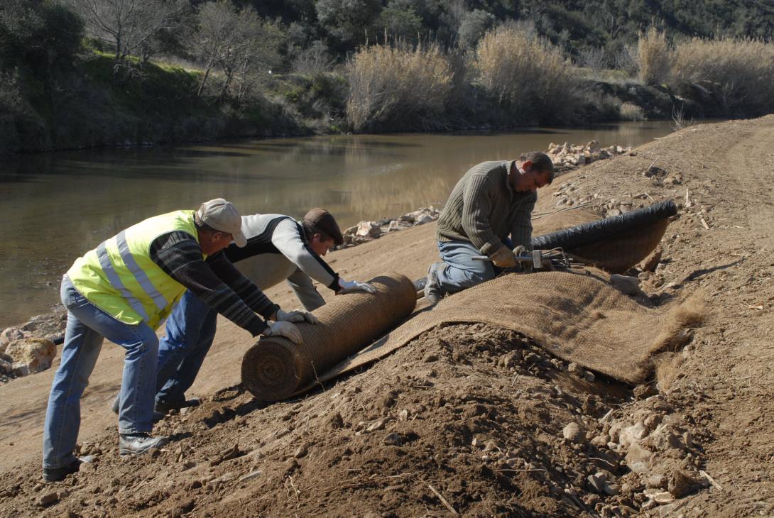
The measures implemented focus on the use of bio-engineering or natural techniques for rehabilitation of riparian buffer zones and river banks such as: i) resectioning of river banks and placement of geotextile to prevent erosion, retain soil moisture, prevent (re) growth of weeds and invasive plants and create favourable conditions for planted native plants (reed bed removal / placement of geotextile; 100% coco fibre with 2 polypropylene nets); ii) construction of a crib wall and placement of stone filled gabions to stabilise river banks (vegetated rock armour, live cribwalls (i.e Krainer wall), and vegetated gabions); iii) planting of rehabilitated banks with native plant species, collected from cuttings and seeds in the area and grown on in local nurseries (e.g. Tamarix, Oleander, buckthorn and ash); iv) construction of artificial islands in the river channel; v) clearance of invasive riparian plant species (Arundo donax and Acacia sp).
This project carried out in the Odelouca River (sub-catchment of the Arade River Basin, Algarve Region, South of Portugal) entailed the implementation of measures focused on the use of bio-engineering or natural techniques for rehabilitation of riparian buffer zones and river banks (such as river banks resectioning and placement of geotextile; live crib walls and vegetated gabions/rock armour construction and placement; planting of rehabilitated banks with native plant species; construction of artificial islands in the river channel, and clearance of invasive riparian plant species).
Today it remains a relevant and effective implementation. However it needs restoration, but there is apparently no intention to restart the project to the original goals.
The measures implemented focus on the use of bio-engineering or natural techniques for rehabilitation of riparian buffer zones and river banks such as: i) resectioning of river banks and placement of geotextile to prevent erosion, retain soil moisture, prevent (re) growth of weeds and invasive plants and create favourable conditions for planted native plants (reed bed removal / placement of geotextile; 100% coco fibre with 2 polypropylene nets); ii) construction of a crib wall and placement of stone filled gabions to stabilise river banks (vegetated rock armour, live cribwalls (i.e Krainer wall), and vegetated gabions); iii) planting of rehabilitated banks with native plant species, collected from cuttings and seeds in the area and grown on in local nurseries (e.g. Tamarix, Oleander, buckthorn and ash); iv) construction of artificial islands in the river channel; v) clearance of invasive riparian plant species (Arundo donax and Acacia sp).
Last update
2025