Photo gallery
Summary
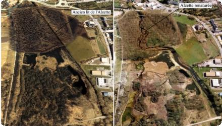
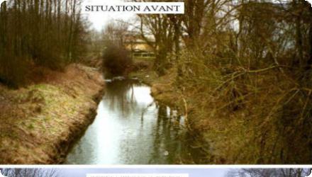
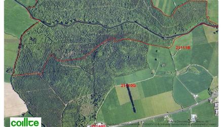
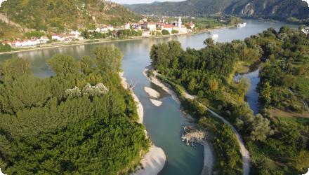
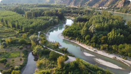
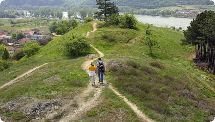
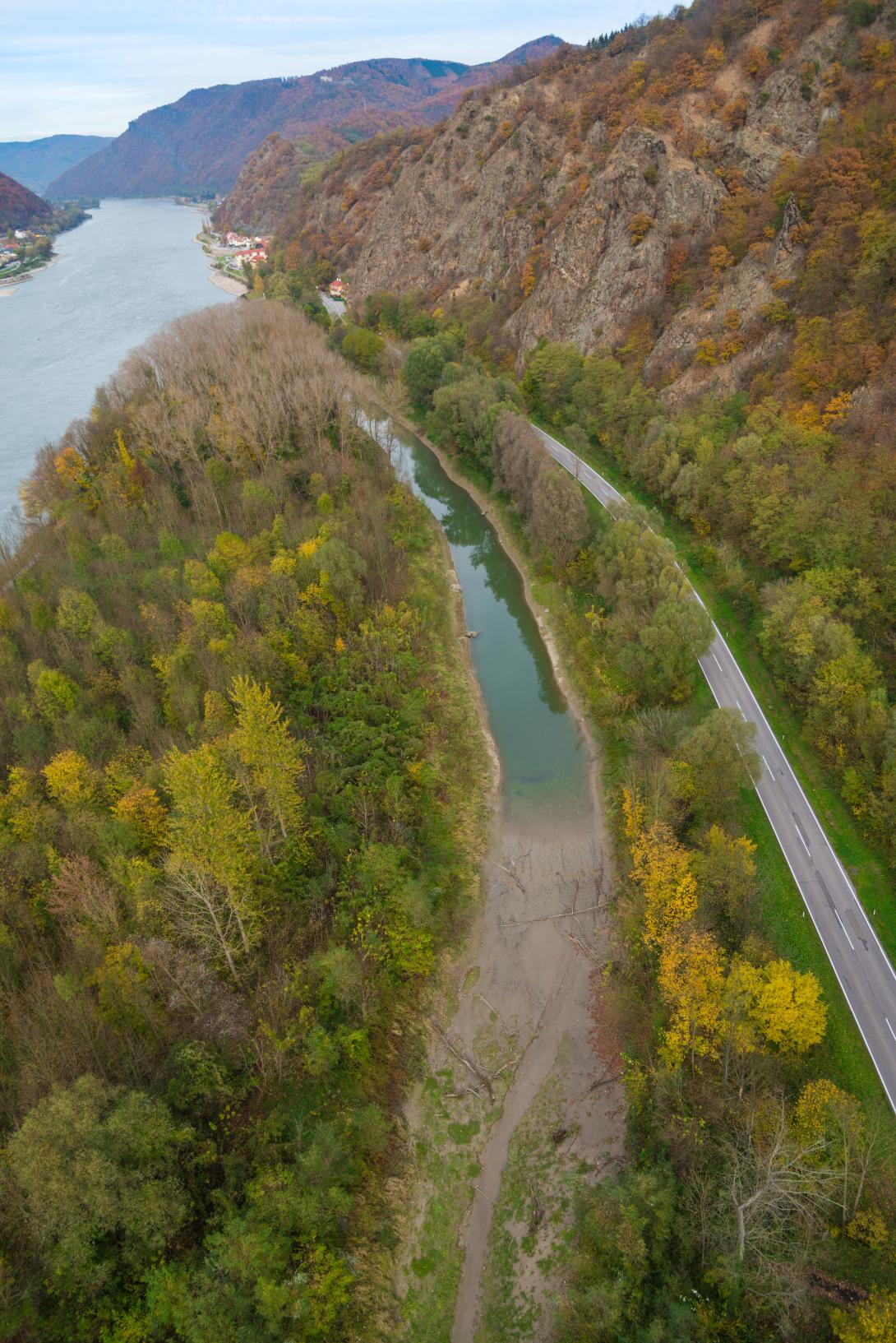
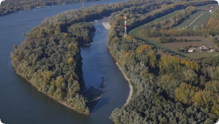
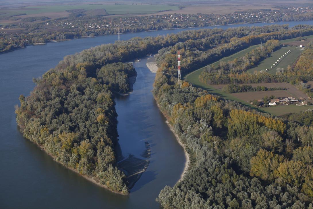
Liberty Island (Szabadság-sziget) lies north of Mohács on the Danube’s left bank; it is ~3 km long, 150–200 m wide and 47 ha, strictly protected within Danube–Drava National Park and the Natura 2000 network. Bank-filtered wells along this bank supply South Baranya settlements.
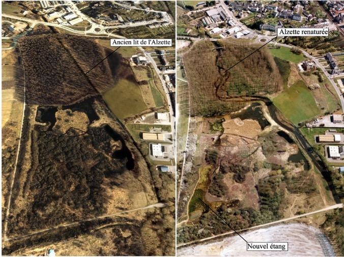
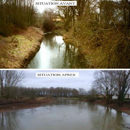
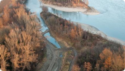
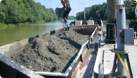
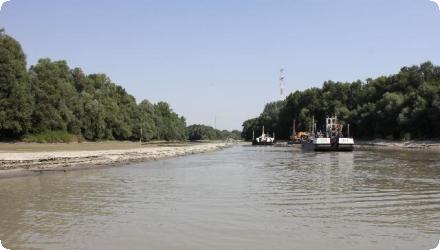
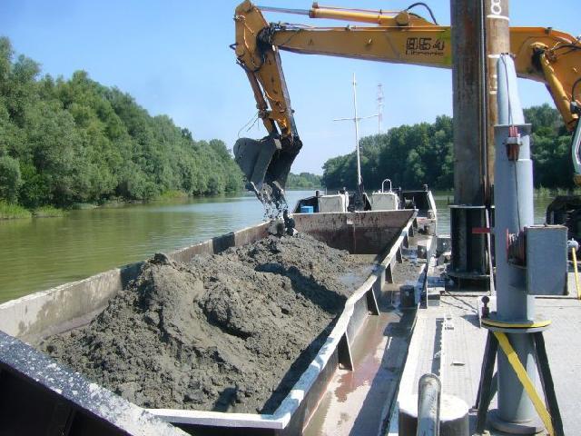
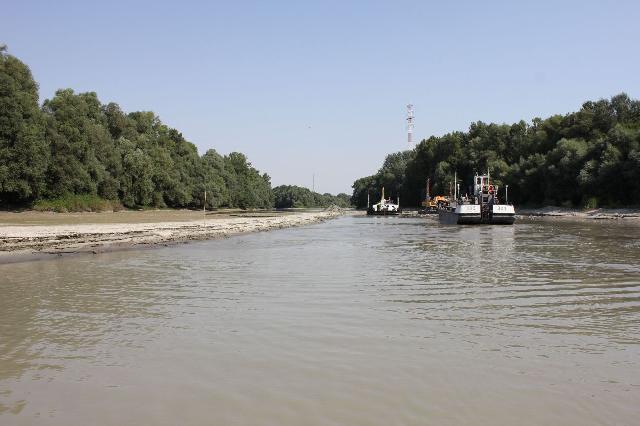
From 2009–2013 a LIFE+ project led by WWF Hungary with DDNP, the Lower-Danube Water Directorate and DRV Zrt. reopened the side-arm by partially removing the 1980s rock-fill dam, relocating the drinking-water pipe beneath the bed, and dredging ≈160,000 m³ of sediment; invasive trees were removed and native softwood floodplain forest restored.
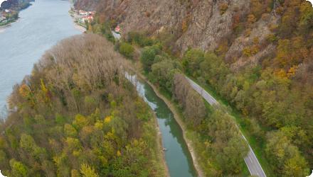
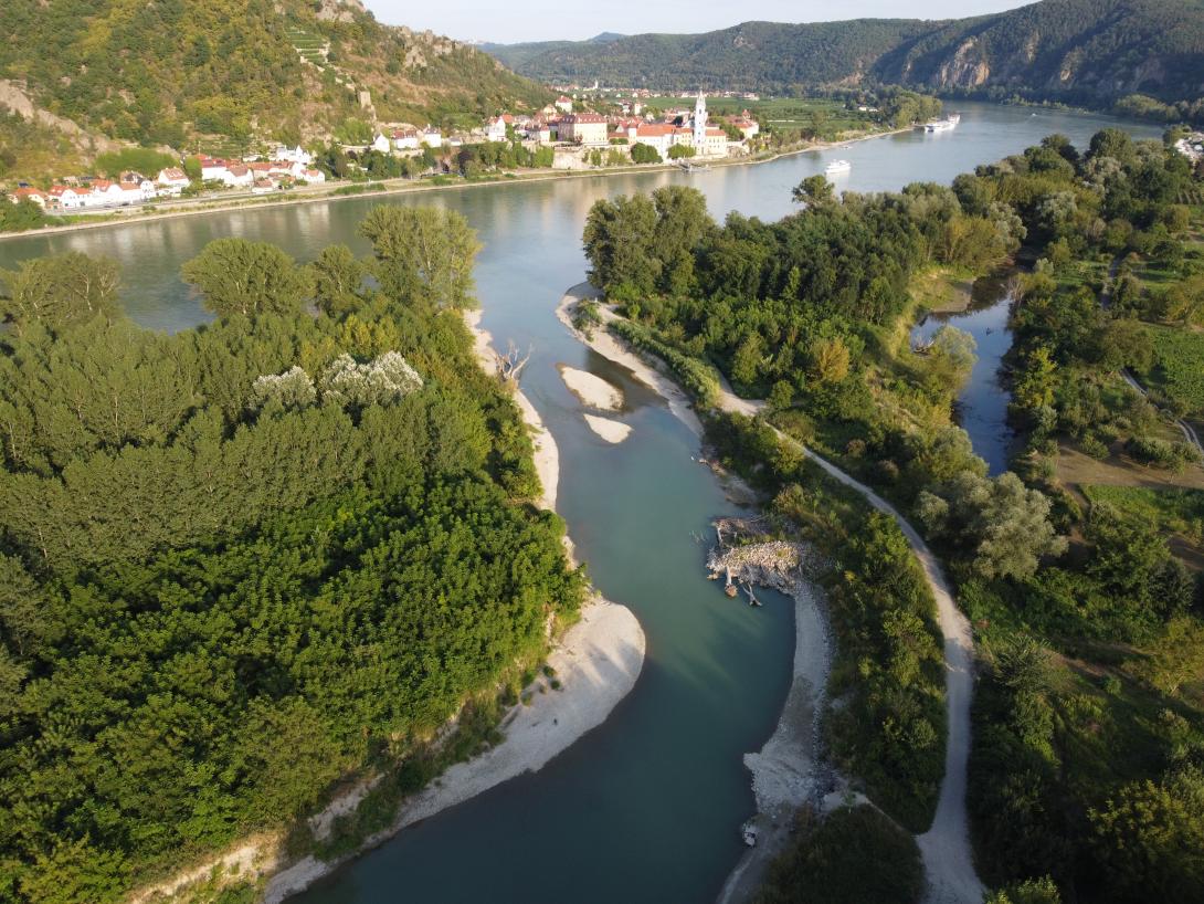
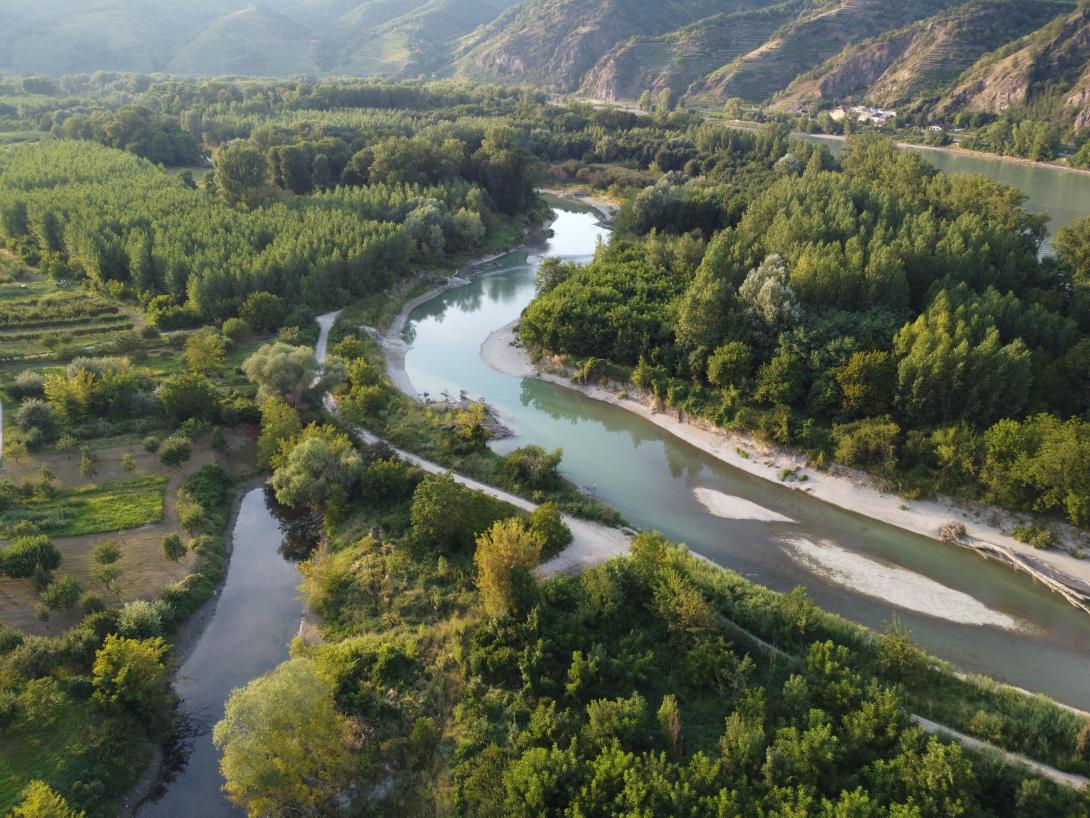
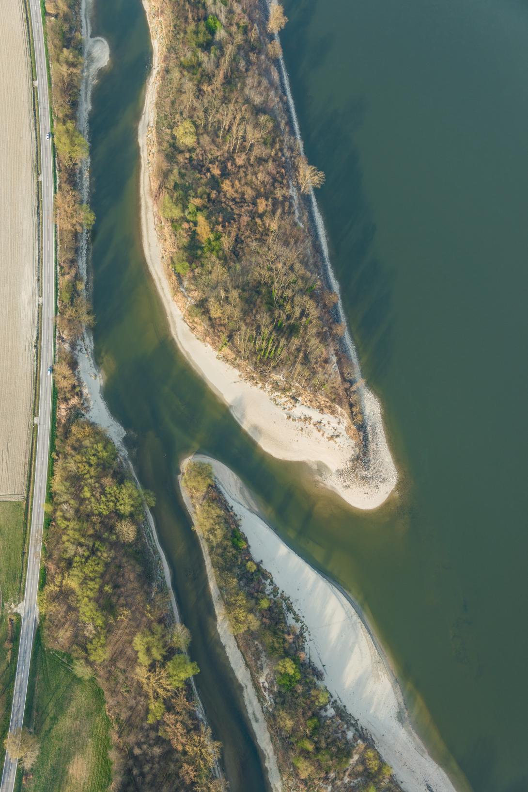
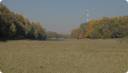
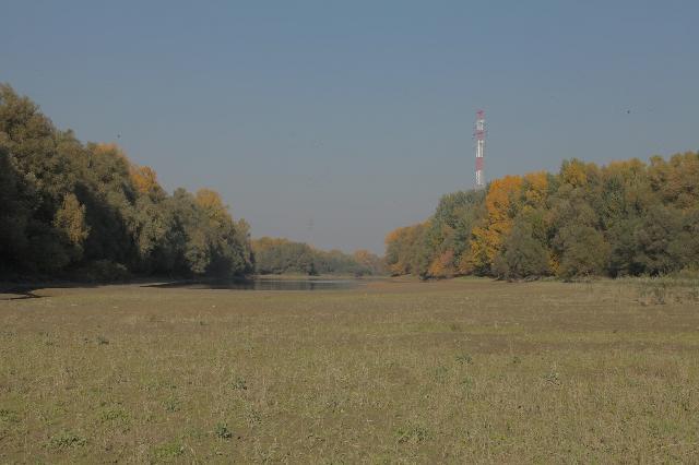
Since completion, the arm flows freely again (about 40–60 m wide and ~2 m deep even at low water), improving natural bank filtration and reducing treatment needs; a boat-accessible nature trail was created.
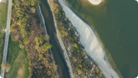
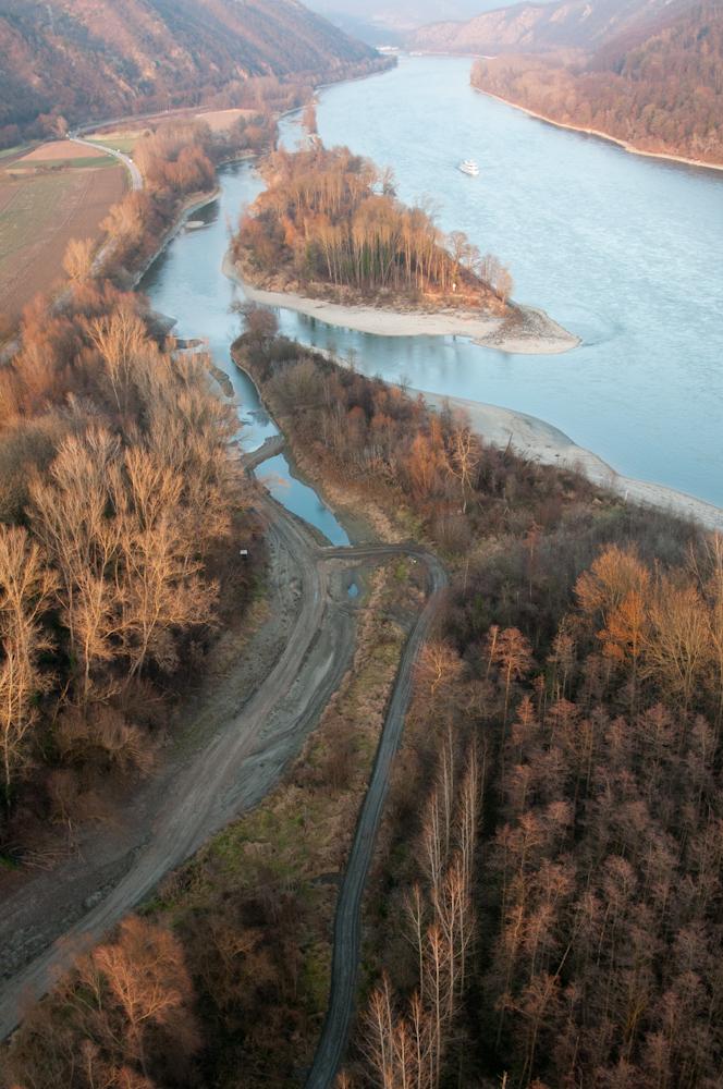
Post-project monitoring (2018–2020) found 35 fish species, including protected EU/HU taxa, and confirmed spawning use of the reconnected arm. Bathymetric observations indicate overall slowed infilling, though in very low flows upstream sections can still be intermittently disconnected by shoals/wood jams; management is guided by the Béda-Karapancsa Natura 2000 plan.
From 2009–2013 a LIFE+ project led by WWF Hungary with DDNP, the Lower-Danube Water Directorate and DRV Zrt. reopened the side-arm by partially removing the 1980s rock-fill dam, relocating the drinking-water pipe beneath the bed, and dredging ≈160,000 m³ of sediment; invasive trees were removed and native softwood floodplain forest restored.
Since completion, the arm flows freely again (about 40–60 m wide and ~2 m deep even at low water), improving natural bank filtration and reducing treatment needs; a boat-accessible nature trail was created.
Post-project monitoring (2018–2020) found 35 fish species, including protected EU/HU taxa, and confirmed spawning use of the reconnected arm. Bathymetric observations indicate overall slowed infilling, though in very low flows upstream sections can still be intermittently disconnected by shoals/wood jams; management is guided by the Béda-Karapancsa Natura 2000 plan.
Last update
2025