
Completed

Summary
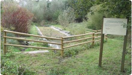
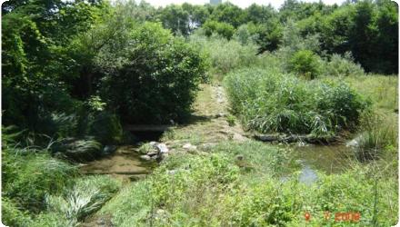
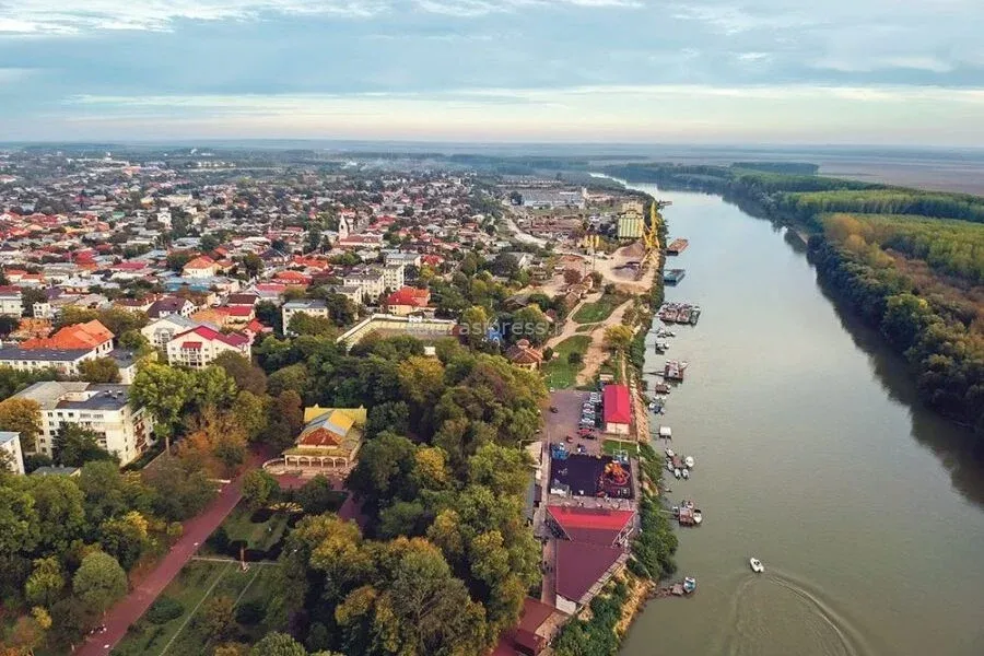
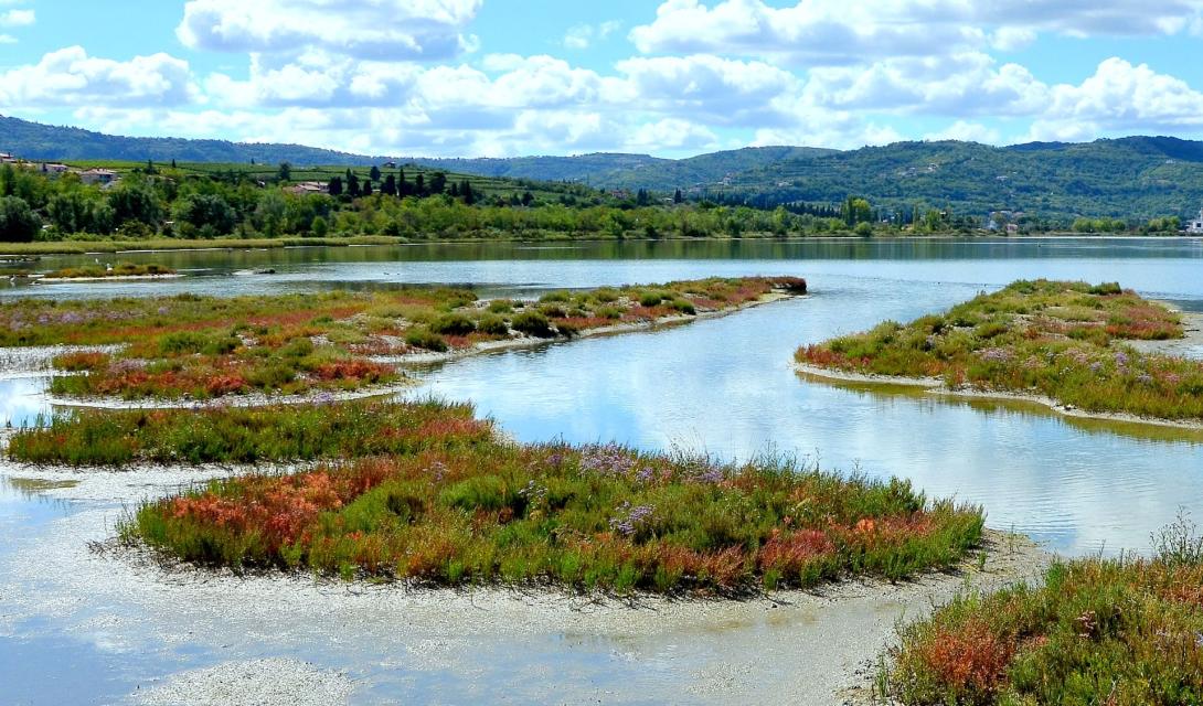
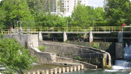
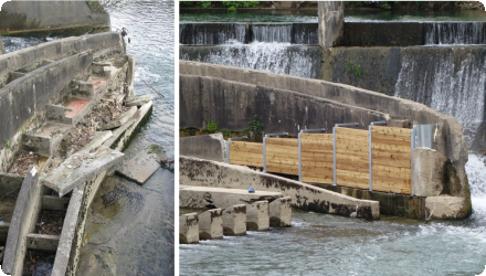
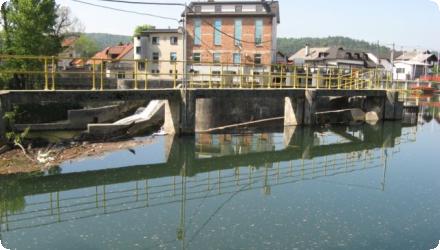
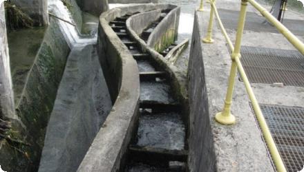
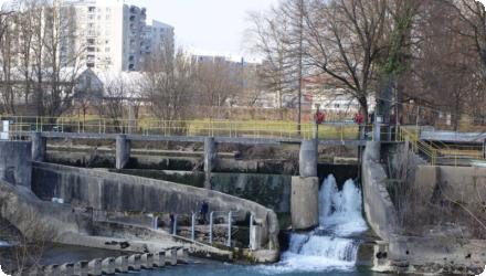
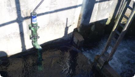
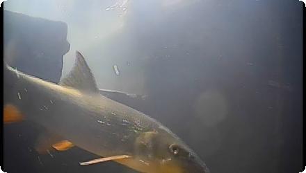
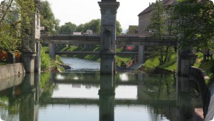
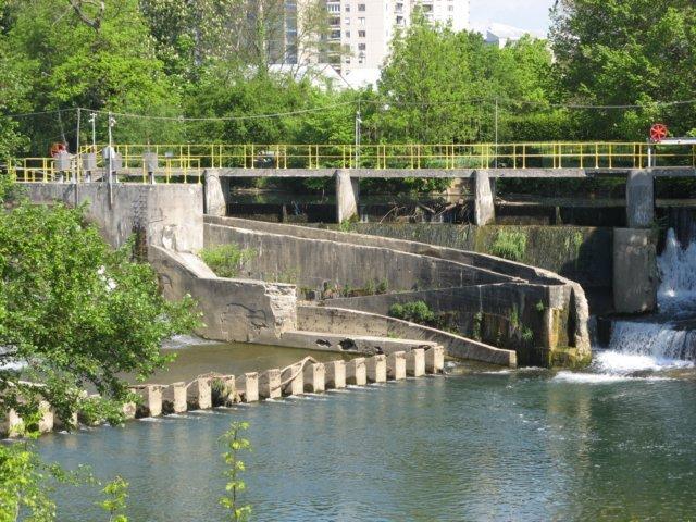
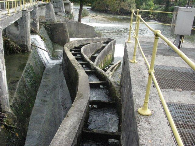
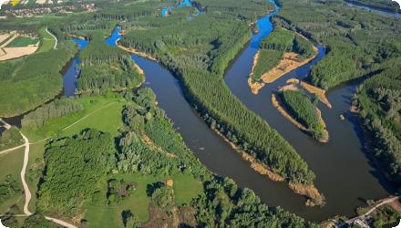
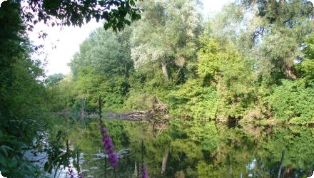
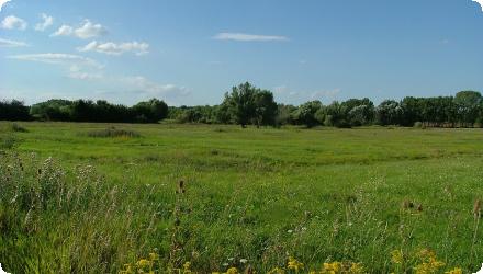
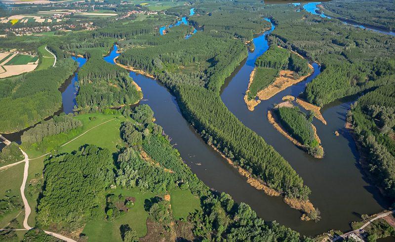
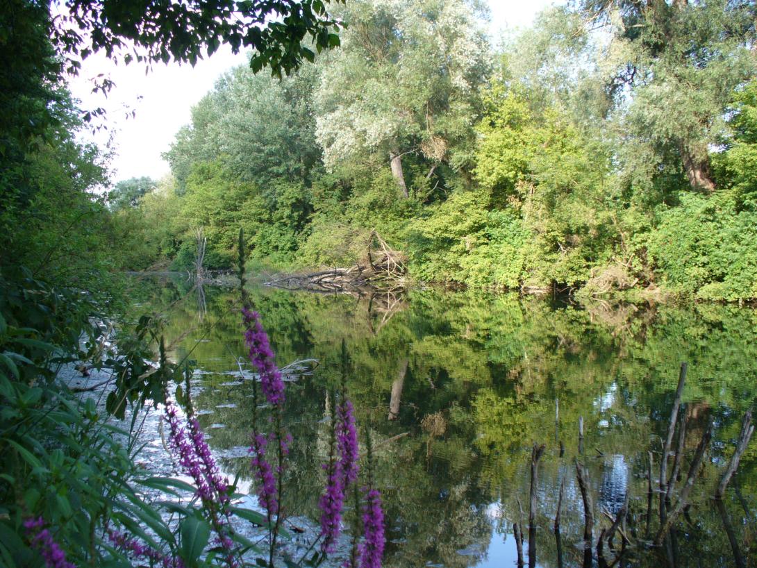
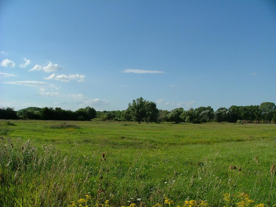
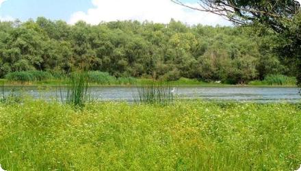
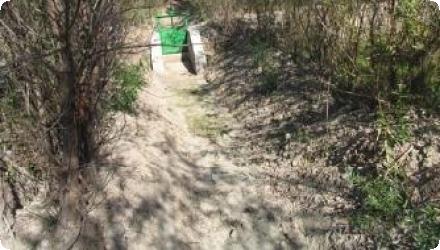
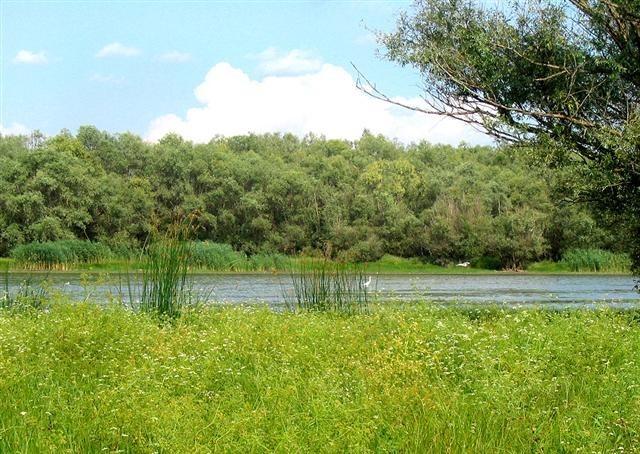
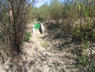
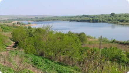
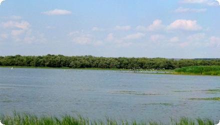
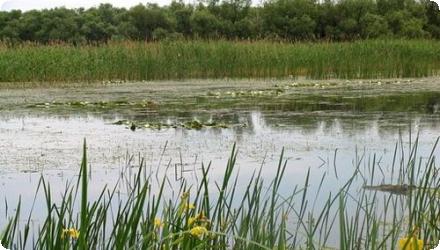
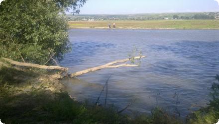
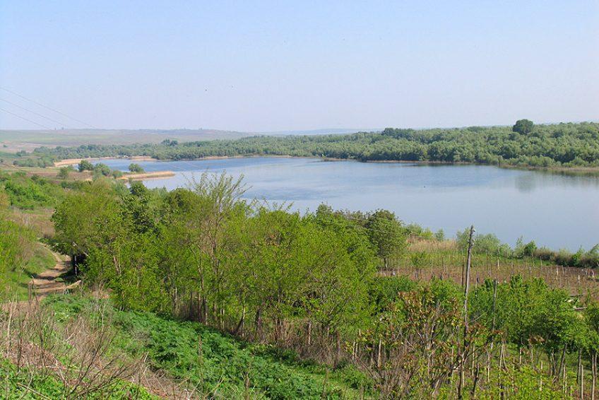
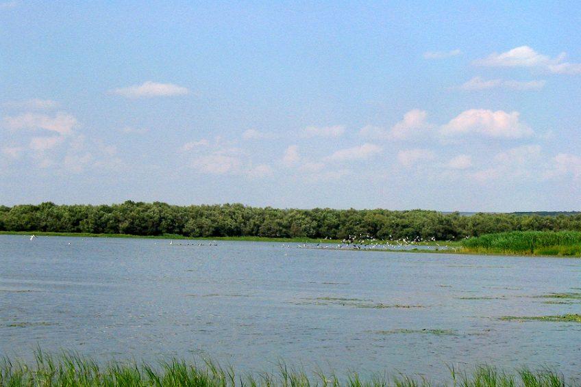
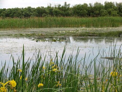
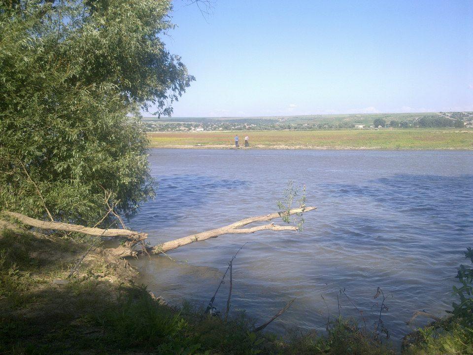
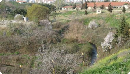
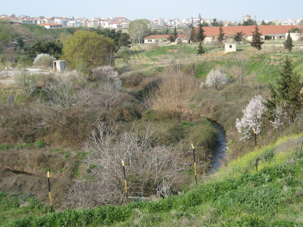
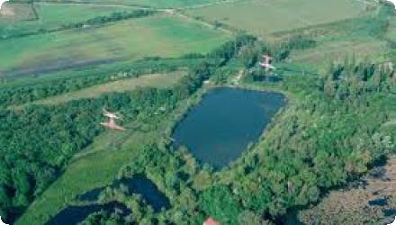
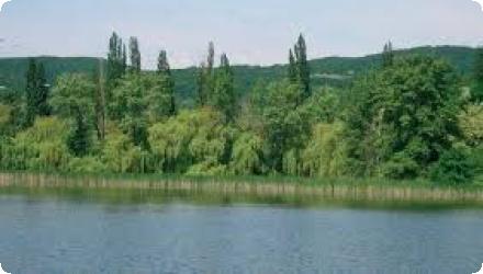
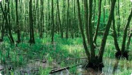
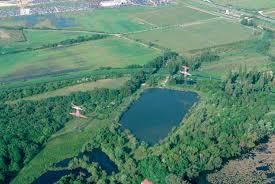
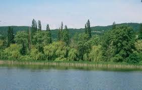
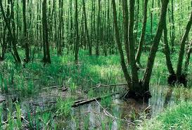
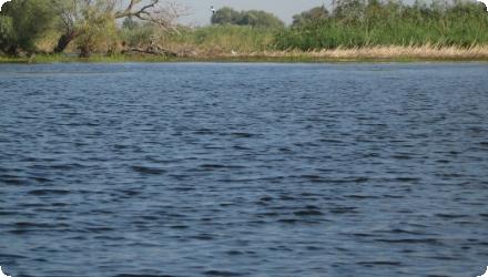
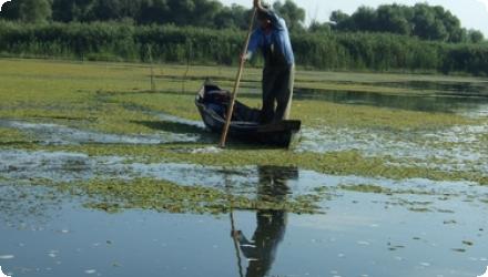
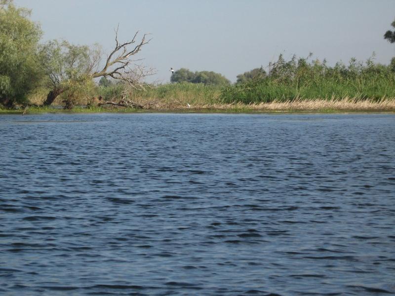
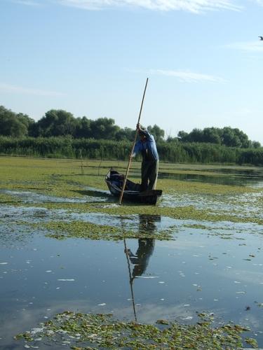
The Danube Delta Biosphere Reserve Authority’s Fortuna Wetland Restoration Project reconnected the 2,115-ha agricultural polder “Fortuna” to the Danube, restoring the hydrological regime and functions (works completed in 2004). Since then, restoration has scaled up across the Șontea–Fortuna complex. In 2015–2017, the EEA-funded RESTORATION-DD project dredged 13.56 km of secondary channels to re-establish habitat connectivity and migration routes, with monitoring and outcomes reported for c.7,000 ha within the 24,636-ha hydrographic unit. From 2021 onward, ARBDD is implementing a multi-site POIM project (SMIS 2014+ 120889) to improve hydrological conditions in Șontea–Fortuna, Matița–Merhei and Somova–Parcheș; planned works include the Fortuna Canal (5,176 m) among other links, with public communications indicating ~156 km of channels across the complexes. In 2024, environmental procedures were filed for desilting Lakes Fortuna and Uzlina, signalling continued management of water circulation and eutrophication control.
Last update
2025
Summary
Installed in 2006 by Limnos Ltd., the innovative ecoremediation (ERM) system on a polluted tributary of the Glinščica combines a sedimentation pond (to settle coarse particles and reduce flow velocity), a vegetated sand-filled drainage ditch with reeds, and a short meandered channel. Early monitoring (2008–2009) reported strong reductions in nutrients and suspended matter, with effectiveness sustained by routine maintenance (including sediment removal in 2008). The facility remains in place and in use, is maintained by the City of Ljubljana, and is incorporated into local educational activities; project managers confirm it has not been amended. Since installation, additional nature-based solutions for flood retention and stormwater management have been implemented elsewhere in the Glinščica catchment - most notably the Brdnikova dry retention reservoir and works at Podutik - which have helped mitigate recent heavy-rain events. In the technical literature the site is also referenced within a broader “Multifunctional Water Reservoir (MWR) Ljubljana,” where upgrades commissioned in 2014 enhanced ecological and educational functions without changing the ERM’s treatment role.
Last update
2025
Summary
The project aims to secure year-round Danube Commission fairway depths of 2.5 m between Călărași and Brăila, including during low flows. Since 2022 it has been reframed as “BALA II,” a combined navigation–environment scheme led by AFDJ Galați that restores and renaturalises the Bala bifurcation area. The solution raises the Bala bottom sill from 0 m to 6.5 m (MNC), re-activates an old bifurcation branch, and foresees complementary works on the Old Danube reach, in order to stabilise low-water hydraulics while limiting ecological impacts. Key permits and approvals have been obtained: water management approval (June 2022) and an environmental agreement from APM Călărași (Sept 2023). In Sept 2024 the Government approved the project’s techno-economic indicators (HG 1079/2024). Procurement for design and works was relaunched in 2025 (estimated value ~743.8 million RON; 96-month duration). As of August 2025, no award notice is publicly available.
Last update
2025
Summary
The project, part of a wider pollution-reduction programme, restored key habitats for bird conservation by improving lagoon water circulation, removing ~185 000 m³ of polluted sediments, creating a new freshwater marsh at Bertoška bonifika, flooding former farmland, and installing sluices to regulate marine and freshwater inflows. About 40 000 m³ of clean material was reused to form mudflats and nesting islets, enhancing habitats for species such as little bittern, great reed warbler, and little grebe. The restoration also included construction of visitor facilities and observation points (2009–2015), and establishment of a circular educational trail. Management is ongoing under DOPPS – BirdLife Slovenia, with adaptive measures such as late mowing and grazing by Istrian cattle and Camargue horses to maintain wet meadows. The reserve is involved in recent cross-border projects (e.g. POSEIDONE 2023–2025) promoting green and blue infrastructure, and continues active monitoring of birds, water quality, and hydrology.
Last update
2025
Summary
Removing barriers to fish migration, enhancing and restoring habitats, improving water-management infrastructure, and establishing a monitoring system. Funded by LIFE+ and implemented by Purgator Engineering Ltd. under the responsibility of the University of Ljubljana (UL FGG), the 2012–2016 “Ljubljanica connects” project rebuilt two dysfunctional fish passes (Fužine weir and Ambrožev trg), modernised the lifting gates at Ambrožev trg, and raised the Zalog sill by 20 cm to improve levels and oxygenation in upstream oxbows. A low-cost IR “fishcam” system was installed in both passes, providing continuous, online monitoring and confirming passage of 12 fish species, including the target Hucho hucho, Rutilus pigus and Leuciscus souffia. An After-LIFE plan maintains monitoring and knowledge transfer. While urban-section connectivity improved, full longitudinal continuity to the Sava remains constrained: the paper-mill weir at Vevče is the first impassable barrier upstream from the confluence, and the Gruber Canal sluice lacks a fish pass; national planning documents list measures to establish passability at Gruber. Coordinator: University of Ljubljana; partners: Purgator and Geateh.
Last update
2025
Summary
This project improves the conservation status of floodplain bird species protected in the Natura 2000 sites SPA Dunajské luhy (Slovakia) and SPA Szigetköz (Hungary). It is funded by the LIFE Programme. Since 2015, the follow-up LIFE Danube Floodplains (LIFE14 NAT/SK/001306) and partners have restored river connectivity and water regimes by reopening 18.5 km of tributaries, restoring >75 ha of wetlands and advancing earlier, better-timed simulated floods; water-regime improvement now covers ~1,805 ha. Recent actions in Slovakia include reopening 3.7 km of the lower Vojčianske side arm (2023–24), partial reconnection at Kráľovská lúka (2024) and re-excavation/reconnection of the Foki side arm in the Old Danube (~2.0 km; 2025). Monitoring reports note positive responses of rheophilic fish, amphibians and floodplain vegetation; hydromorphological works have restored extensive floodplain forest and riparian habitats (e.g., 482 ha of 91E0* and 115 ha of 91F0). In Hungary’s Szigetköz, the water-replenishment system was extended in 2014–15 and connectivity enhanced with fish passes at Dunasziget (1998), Ásványráró (2015) and at the Mosoni-Danube outlet in Vének (operational 2022).
Last update
2025
Summary
The project’s objective was to improve the conservation status of aquatic bird species in Lower Prut Floodplain Natural Park (Galați County, RO) through scientific inventory, monitoring, site restoration, awareness-raising, implementation of the park management plan, and the designation of Natura 2000 SPAs. Partners were the University of Bucharest, the Romanian Ornithological Society and Romsilva – Galați Forestry.

At Pochina, two Prut–lake channels were cleaned and re-profiled (supply L = 362 m; evacuation L = 235 m), with small dykes/footbridges to maintain levels and enable gravitational flushing of sediments; a birdwatching tower was installed. Pochina is a national natural reserve (RONPA0432, 74.8 ha) located near Rogojeni (Suceveni Commune) and lies within the park’s Natura 2000 framework.
Last update
2025
Summary
The project’s objective was to improve the conservation status of aquatic bird species in Lower Prut Floodplain Natural Park (Galați County, RO) through scientific inventory, monitoring, site restoration, awareness-raising, implementation of the park management plan, and the designation of Natura 2000 SPAs. Partners were the University of Bucharest, the Romanian Ornithological Society and Romsilva – Galați Forestry.

At Vlăscuța, connectivity with the Prut was re-established by de-clogging the access (366 m) and outflow (176 m) channels and installing two sluices to stabilise lake levels; a birdwatching tower was also built here. The site is a national natural reserve (RONPA0433, 41.8 ha) within the Natura 2000 network (park overlaps ROSCI0105 and SPAs including ROSPA0070). Recent management documents confirm these works and facilities.
Last update
2025
Summary
In the Xiropotamos River Basin, near the town of Naoussa in Central Macedonia, Greece, a set of natural water retention measures was implemented to address severe erosion, flash flooding, and reduced water availability. The area, affected by deforestation and land degradation, required restoration to stabilize soils and improve hydrological regulation.

The project, initiated in 2004 and approved under national environmental terms in 2013, combined afforestation, riverbed reshaping, and small-scale retention structures. Around 70 hectares of degraded land were reforested with native tree species to reduce runoff and increase infiltration. In parallel, a 2 km stretch of the river was reprofiled to reduce its slope, and a series of check-dams and retention basins were constructed to slow water flow and trap sediments.

Implementation was led by the Municipality of Naoussa with the support of a private contractor, and the public development agency AN.KO A.E. contributed to forest technical works in the mountainous upstream areas. The intervention stands out as one of the first in Greece to combine forest hydrological engineering with landscape restoration at basin scale.

The project helped decrease peak flows, reduce sediment transport, and improve local water retention. It also provided environmental co-benefits by restoring vegetation cover and stabilizing the catchment. Its approval under Greek environmental regulations highlights its formal recognition and alignment with national water and forest policy objectives.
Last update
2025
Summary
Reconstruction of dams and sluice gates, blocking of drainage ditches and creation of a hydrological network to route water from the Little Carpathians through the Šúr Fen National Nature Reserve (near Svätý Jur), funded by the LIFE programme (LIFE03 NAT/SK/000096). The works were prepared and initiated in 2003–2007 and complemented the intake built in 2001 on the Šúrsky Canal (rkm 10.197), which diverts water into the reserve when canal flow exceeds Q5 (up to ~7.4 m³/s). The Danube Flood Risk Management Plan (2015) describes a system of inverted siphons, canals and an aqueduct enabling year-round supply and water level management inside the fen. Project materials detail the refurbishment of control structures (e.g. on the Blahutov Canal), conversion of a drainage canal to irrigation, and raising water levels in the Čierna Voda to limit peat drawdown; interpretation and a nature trail were also delivered.
Since 2017–2018, management has reintroduced wood-pasture grazing in the Panónsky háj (southern part of the reserve) with local partners. Recent monitoring (2023–2024) reports marked increases in wild bee abundance in restored areas, indicating positive ecological response.
Last update
2025