Photo gallery
Summary
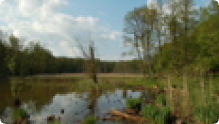
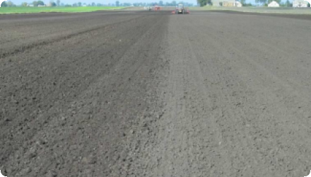
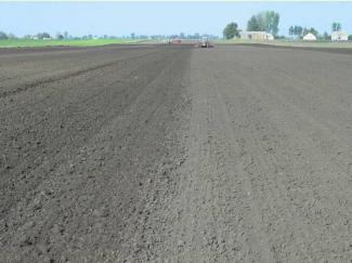
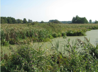
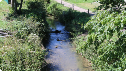
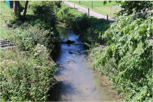
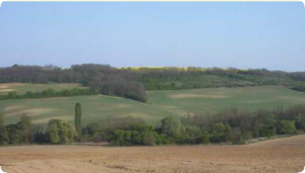
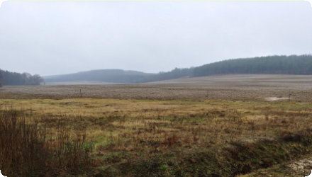
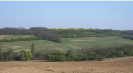
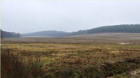
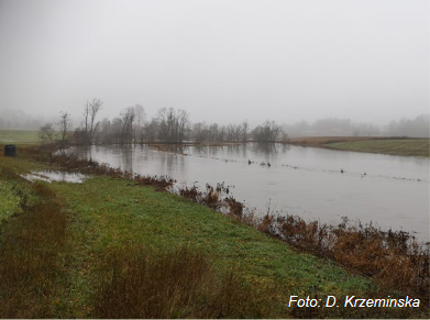
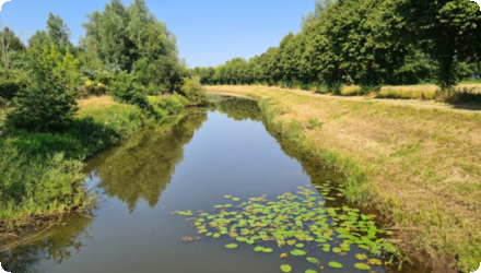
The Aa of Weerijs pilot tests how Nature-based Solutions can build drought resilience in a flat, sandy catchment between Flanders and Noord-Brabant. Led by IHE Delft within the EIFFEL H2020 program from 2021 to 2024, partners include Open University, the Province of Noord-Brabant and Water Board Brabantse Delta. The team co-designed a decision-support web app to compare options and support planning.
Models combine GEOSS and local datasets with KNMI’23 climate scenarios. KPIs track surface water availability, groundwater availability and soil moisture. Provincial opportunity maps and green-blue policy zones steer siting where benefits and feasibility align.
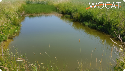
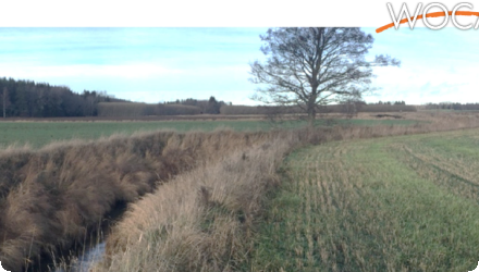
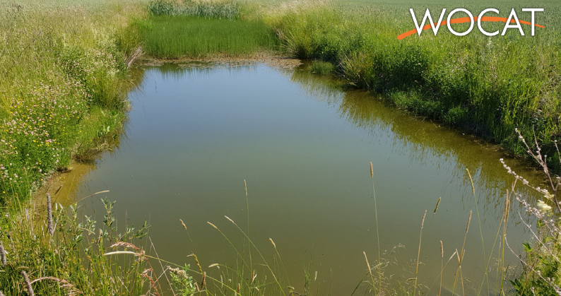
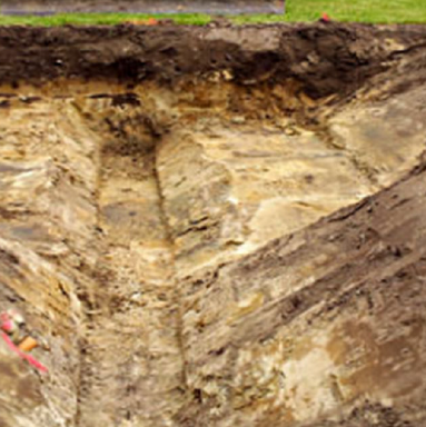
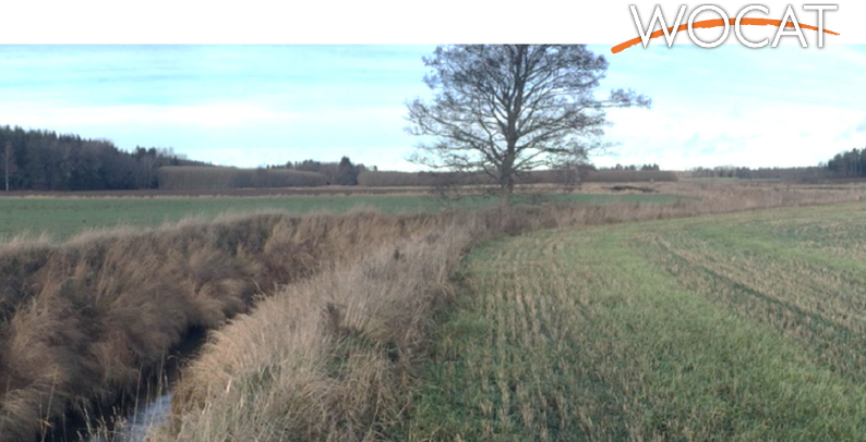
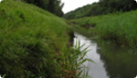
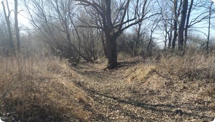
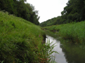
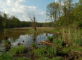
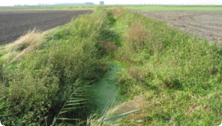
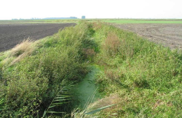
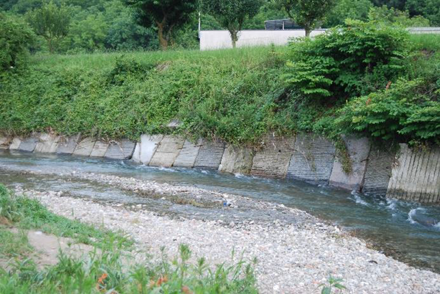
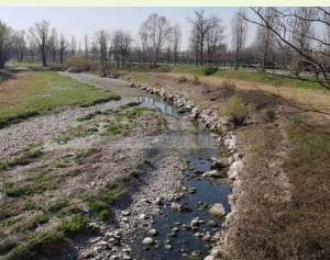
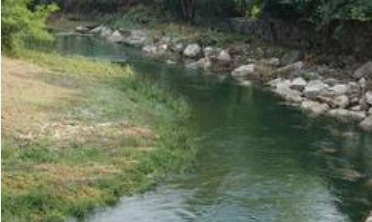
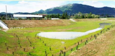
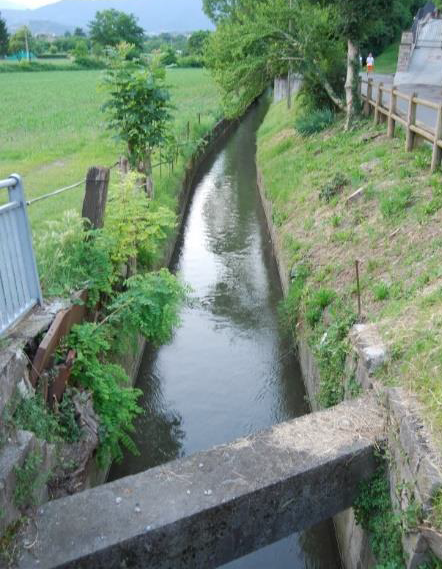
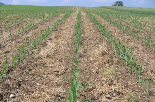
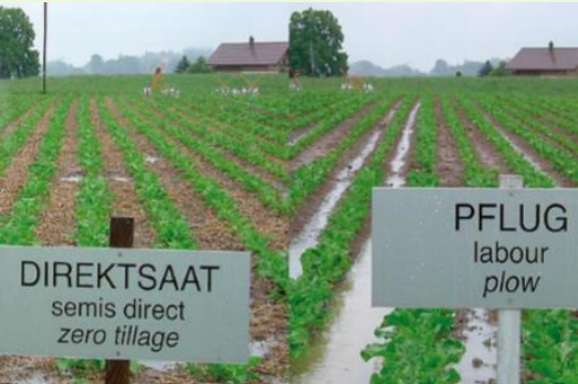
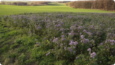
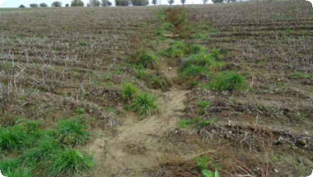
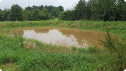
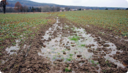
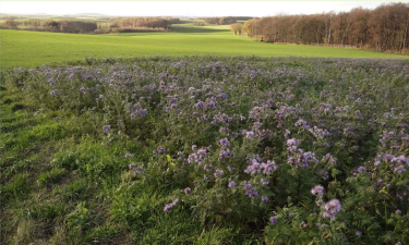
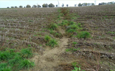
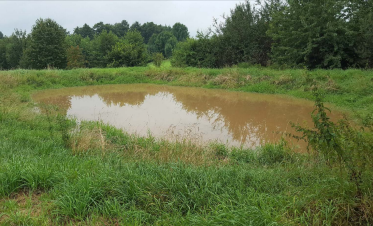
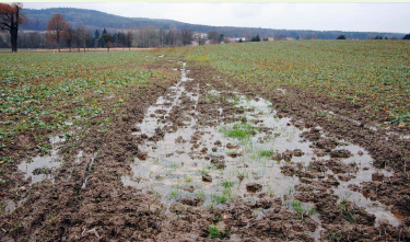
The strategies assessed cover ditch blocking, infiltration ponds, wetland restoration, heathland restoration, brook bed barriers and tree planting. Results indicate the strongest gains for groundwater and soil moisture from ditch blocking, infiltration ponds and heathland restoration. Wetland restoration and brook bed barriers show mixed performance across subareas. Tree planting often reduces drought indicators in some locations due to higher evapotranspiration.
Outputs include prioritised maps, combined strategies aligned with policy zones and agricultural areas, and a transparent web interface used in workshops. No physical works were built within the project window. The package readies local actors for investment and monitoring. The pilot links WFD objectives with provincial nature and water policies, including the Nature Management Plan and Green-Blue values layer, to scale NBS where they deliver multiple benefits. Cross-border hydrological controls, canalised networks and competing water uses remain constraints. Key lesson: in sandy lowland basins, infiltration-focused measures outperform planting for hydrological drought resilience. The toolset persists beyond the grant to support implementation and monitoring.
Models combine GEOSS and local datasets with KNMI’23 climate scenarios. KPIs track surface water availability, groundwater availability and soil moisture. Provincial opportunity maps and green-blue policy zones steer siting where benefits and feasibility align.
The strategies assessed cover ditch blocking, infiltration ponds, wetland restoration, heathland restoration, brook bed barriers and tree planting. Results indicate the strongest gains for groundwater and soil moisture from ditch blocking, infiltration ponds and heathland restoration. Wetland restoration and brook bed barriers show mixed performance across subareas. Tree planting often reduces drought indicators in some locations due to higher evapotranspiration.
Outputs include prioritised maps, combined strategies aligned with policy zones and agricultural areas, and a transparent web interface used in workshops. No physical works were built within the project window. The package readies local actors for investment and monitoring. The pilot links WFD objectives with provincial nature and water policies, including the Nature Management Plan and Green-Blue values layer, to scale NBS where they deliver multiple benefits. Cross-border hydrological controls, canalised networks and competing water uses remain constraints. Key lesson: in sandy lowland basins, infiltration-focused measures outperform planting for hydrological drought resilience. The toolset persists beyond the grant to support implementation and monitoring.
Last update
2025