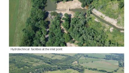
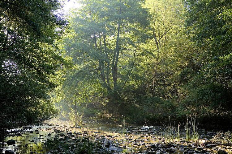
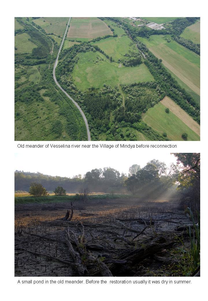
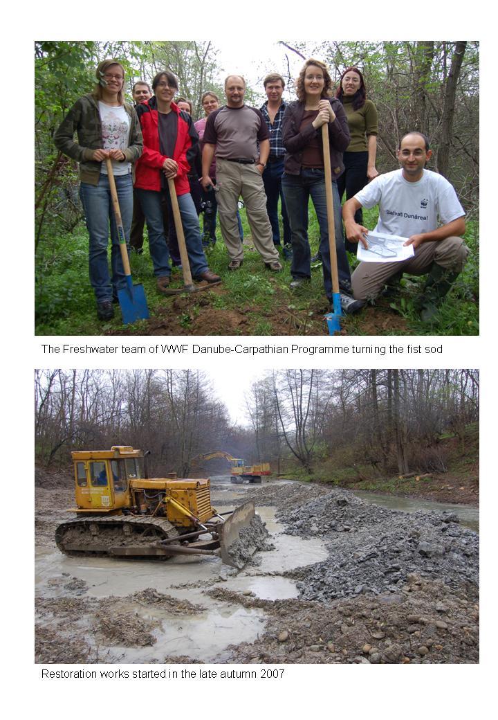
Completed

Summary
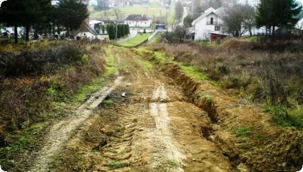
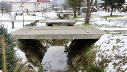
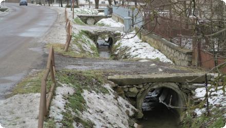
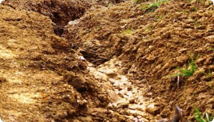
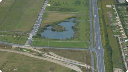
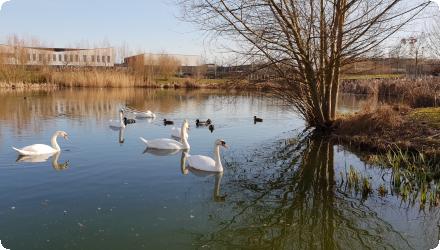
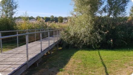
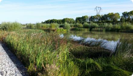
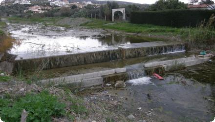
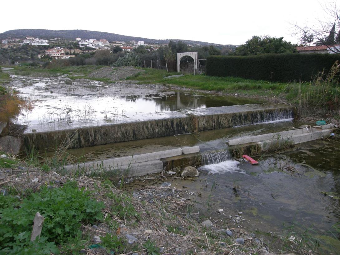
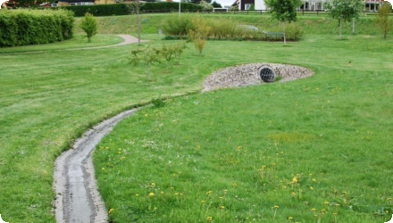
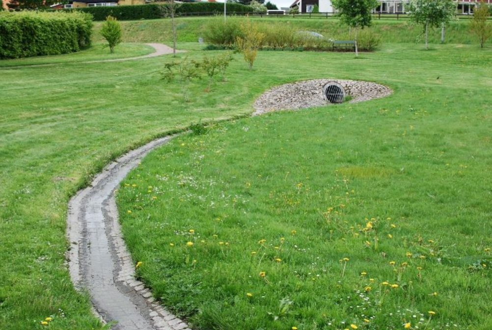
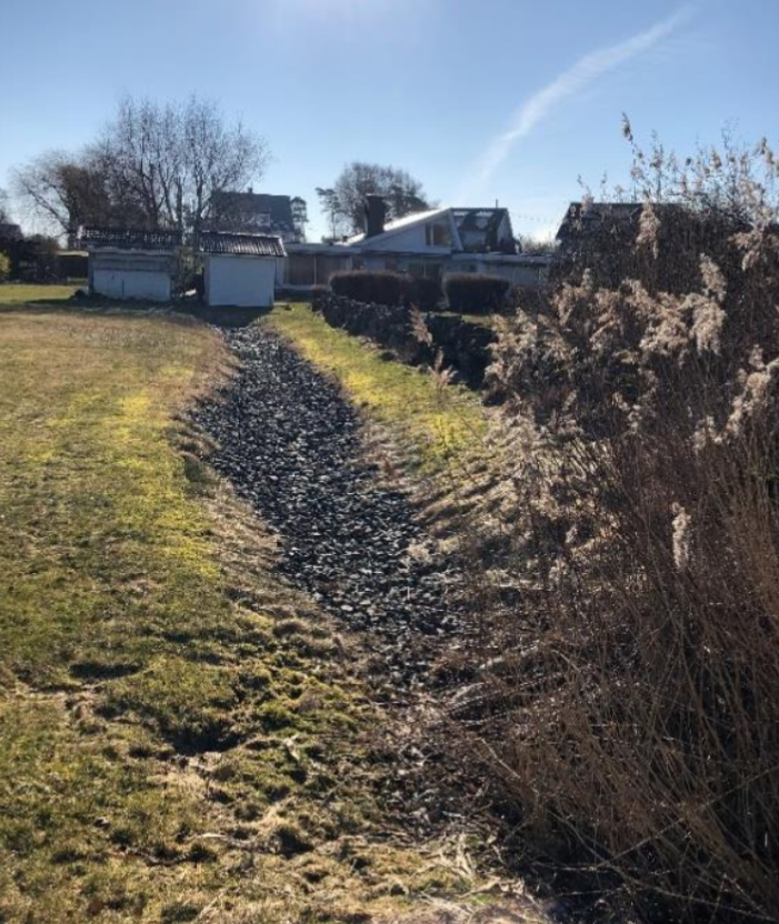
Flow-weighted sampling was performed at the inlet and outlet of one of the infiltration trenches beneath the parking lot of a supermarket in Kungsbacka, south of Gothenburg. Monitoring ran from April–June 2012 and five storm events were originally analysed. The trench is part of a larger system serving the Maxi ICA site (≈3.1 ha) with three subsurface macadam trenches; the monitored “trench 1” had ~176 m³ storage with a permitted outflow of 6.17 L s⁻¹ (site cap 15 L s⁻¹). Runoff passes an oil separator and then discharges to stormwater ponds located between the car park and the Björkris residential area (toward Björkrisån/Kungsbackaån). Reported pollutant removals were high for TSS and metals and moderate for nitrogen, alongside clear flow attenuation. A subsequent peer-reviewed paper expanded the dataset to seven events and confirmed these trends. More recent municipal stormwater guidance (2023) highlights the Björkris/Hede ponds as part of the local network; while this corroborates the downstream arrangement, publicly available sources do not document the current maintenance or operational status of the specific trenches.
Last update
2025
Summary
Integrated rainwater retention was applied to recover degraded landscapes and local climate in north-eastern Slovakia, using small check dams, retention ponds, rain gardens and re-cultivated logging roads. Coordinated by People & Water (Ľudia a voda) and co-financed by the LIFE programme (LIFE11 ENV/SK/001019), the project worked across the Ondávka micro-region (Humenné district; eight municipalities). Implemented from August 2012, it ended early in May 2015 after loss of co-financing. By closure, 1,148 small barriers, 7 rain gardens and ~1 km of logging roads had been built or re-profiled; planned fishponds were cancelled. Local reporting indicates the measures reduced flood peaks during intense storms in 2013–2014 and were estimated to enhance the “small water cycle” by ~140,000 m³/year. The project also created short-term jobs (e.g., 56 unemployed people engaged in 2013 via the Humenné Labour Office). Since 2015, similar water-retention approaches have been incorporated into regional plans (e.g., the Košice Region’s 2021–2030 landscape and river-basin restoration programme) and referenced in national flood-risk planning updates (2024) covering the area.
Last update
2025
Summary
The intensive urban development of the Bezannes joint development zone (ZAC), near Reims, has led to the artificialization of 172 hectares of land, along with a growing need for stormwater management. Vegetated swales were implemented in the southern part of the area, while in the north, stormwater is collected and directed to a facility that includes an artificial wetland, an artificial lagoon, and a reed bed filter.
The construction of this facility, initiated by the Greater Reims Urban Community (project owner) and Sinbio (project manager), aimed to incorporate a nature-based solution to manage stormwater inflows upstream of the Muire River, improve the quality of discharged water, and create a 5-hectare natural space that would benefit both local residents and biodiversity called Parc de la Roselière.

This project illustrates a shift from traditional civil engineering to ecological engineering, combining water regulation, pollution control, biodiversity enhancement, and public amenities.
Last update
2015
Summary
On the Lower Danube between Silistra and Brăila, the LIFE project RESTOREWETLANDS (LIFE06 NAT/RO/000172) ran from 2006–2011 (eligible budget €1,017,396; EU contribution €489,209) to preserve, restore and sustainably manage the Small Islands of Brăila. Targets covered ~2,949 ha: planting alluvial forest on 449 ha, removing Amorpha fruticosa (planned 212 ha; achieved 237 ha), and restoring the natural hydrological regime on ~2,500 ha (incl. 1,366 ha of lakes). Forest and invasive-species actions met goals; however, prolonged floods limited lake works—Fundu Mare was only partial and the Navodari action failed.
The hydrological concept envisaged keeping permanent water via sluices in two zones (Egreta, Fundu Mare) and de-silting in a third (Navodari), with later expansion to other lakes; the plan also set out monitoring of siltation, banks and habitats.
Post-project reviews note that dredged channels re-closed where maintenance lapsed, reducing connectivity—an unexpected negative outcome.
Follow-up at Fundu Mare under EEA/SEE funding installed two sluices and channel works serving four lakes (~837 ha of open water); the park also maintains two educational water routes through light de-silting and removal of floating invasive vegetation.
Governance and planning have been updated with a Management Plan published by the park administration in 2024.
Last update
2025
Summary
Along the lower ~8 km of the Ezousa riverbed near Paphos, a MAR/SAT scheme uses the aquifer as a natural reservoir: tertiary-treated effluent from the Paphos WWTP is conveyed to infiltration ponds in the riverbed, naturally filtered, stored and later abstracted for irrigation. Built in 2003, the system comprises five pond groups (23 basins in total) supplied by a 500-mm main, with a design capacity of roughly 9,000–12,000 m³/day. Annual recharge increased from ~1.63 Mm³ (2004) to 4.44 Mm³ (2015); WDD’s assessment (2006–2015) reported no adverse effects attributable to recharge, with only occasional chlorination by-products detected downstream. Research at the site indicates slight attenuation of nutrients and notes copper in groundwater exceeding EPA standards, likely of geogenic origin. Today, all reclaimed water produced in Paphos is routed to the Ezousa aquifer and then pumped and distributed for irrigation through the government network.
Since 2021, real-time sensors (water level, EC, temperature) linked to the INOWAS platform complement routine sampling, strengthening operational control.
Last update
2025
Summary
WWF’s Danube-Carpathian Programme, together with residents of Mindya (Veliko Tarnovo), reconnected the Veselina River to a former meander near the village. When the bend was cut off in the past the channel incised by ~150 cm, so a low sill was built (works 2007–2008) to raise water levels and route flow back into the old course.
The reconnection now creates slower, warmer waters that support breeding habitat for fish and birds and add retention during high flows.
Project timeline: initiated 2005, works completed April 2008; total cost ≈ €76 k funded by WWF and the DOEN Foundation. The reach lies on WFD water body BG1YN130R029, classified as HMWB.
In May 2012 the site was legally designated the “River Veselina” Protected Area, announced by the Ministry of Environment and Water on the International Day for Biological Diversity; the designation explicitly includes the restored meander. The protected area covers about 98.6 ha between Kapinovo and Mindya.
Since designation, local biodiversity work has documented amphibian and reptile assemblages within the protected area, adding evidence of habitat value.
Last update
2025
Summary
Germasogeia (Amathos) River crosses Yermasoyia municipality near Limassol. The measure, launched in 1982, restores natural purification and recharge of the Germasogeia alluvial aquifer, processes disrupted by the upstream dam. It works by gradual reservoir releases while maintaining the riverbed’s high transmissivity. Monitoring includes flows at four weirs, groundwater levels in observation wells and coastal salinity; pumped water supplies Limassol and nearby communities.

More recently, the Water Development Department (WDD) and academic partners developed and validated optimisation models (2016–2019) on WDD data to keep target water tables with lower release volumes, formalising the conjunctive-use operation. In 2015, a 1–1.5 m concrete weir on the Germasogeia was removed within a hydromorphological restoration project; it had reportedly been built to enhance recharge. In parallel, desalination capacity serving Limassol (e.g., Episkopi, Vasilikos, and new/expanded units) now provides a major share of potable supply, easing pressure on the aquifer in dry years. In the wider district, WDD also operates a separate MAR scheme at Akrotiri (17 recharge ponds, since 2016) using tertiary-treated effluent against seawater intrusion.

Overall, Germasogeia remains a long-running SAT/MAR scheme, now embedded in a diversified water-supply system and supported by modelling and river restoration actions.
Last update
2025
Summary
Located in Geneva, this case describes the long-running programme of green roofs at the University Hospitals of Geneva (HUG). The first roof (≈0.55 ha, 1993) was designed to retain ~30.25 m³/day; compared with a conventional roof it retains about 60% of runoff, while also recreating urban habitat. Since then the scheme has expanded: in 2023 HUG added 2,835 m² on three buildings (Maison de l’enfance et de l’adolescence, Adult Emergency extension, GIBOR). After a full inventory in 2024, HUG reports more than 11,900 m² of vegetated roofs across its sites.
Local monitoring in Geneva (TVEG/HEPIA) confirms hydrologic benefits beyond the original design assumptions: storm peaks are delayed and attenuated, with up to ~75% reduction for a summer event (and ~48% in winter), and a larger share of water returned by evapotranspiration (~61%) relative to a reference roof. The Canton’s “Nature en ville” programme documents biodiversity outcomes and provides up-to-date technical guidance; at cantonal level, compliant green roofs can lower stormwater fees.
Last update
2025
Summary
The Ernz Blanche (Luxembourg) river restoration sought to undo channelisation that had uniformised the river and increased downstream flooding. It relocated the watercourse into the thalweg, widened and/or raised the bed, re-meandered the channel, backfilled the former bed, restored adjacent streams, redesigned pipeline connections, and redeveloped areas around hydraulic structures.

After the 2002 feasibility, major works were delivered in 2010–2011 on the Koedange–Supp reach (~5 km), reducing flood peaks at Larochette (–3.8 m³/s; –25 cm) and creating ~110,000 m³ of storage (project cost ≈ €1.52 m). In 2016, longitudinal continuity downstream at Ernzen was restored via a pool-type fish pass at Wehnschelt and a rough ramp at Milleboesch. The project area has also been tied into the PC5 cycle path and Natura 2000 management.

Under Luxembourg’s 2021–2027 Flood Risk Management Plan, additional riverbed restoration and space-for-river measures are listed/advancing on several reaches, incl. 417 m at Larochette; 1,102 m along CR119 at Ernzen (in implementation); 2,739 m at Altlinster; and 629 m at Medernach. Recent 2025 decisions cover local flood-protection works and targeted sediment removal in Larochette, while continuous hydrometric monitoring at station “Larochette / Ernz Blanche” supports ongoing management.
Last update
2025
Summary
The main objective of the project is to conserve the biodiversity, the natural habitats, the wild species of flora and fauna and to assure an efficient management of protected natural areas, in particular, management of the ecological network Natura 2000 through reconstruction of Comana Wetland within Giurgiu County.
Comana Wetland restoration (2009–2011) in Comana Natural Park (Giurgiu County) built a small dam with sluice on the Neajlov and a fish pass, raised and stabilised water levels (~490 ha), set up ecological monitoring and visitor infrastructure, and supported Natura 2000 management and biodiversity gains. Since then, management has been updated: the park’s management plan was approved by ministerial order in May 2022. Navigation on Balta Comana/“Neajlov Delta” is now regulated (county regulation in 2022 and a national order in Feb 2024). The county also initiated a concept for a second restoration phase (“REBACO 2”, 2021) and launched feasibility/design steps. Recent monitoring and studies include a 2021 water-quality survey and analyses of ichthyofauna dynamics. In 2024, an exceptional drought led to near-complete drying of Balta Comana with short-term ecological and tourism impacts reported; local environmental press noted a return of water after autumn–winter rains in January 2025. These developments underline the need for continued maintenance of hydraulic works and adaptive, drought-resilient management.
Last update
2025