
Code
SA07
Sector
Agriculture
Year of Issue
2025
Summary

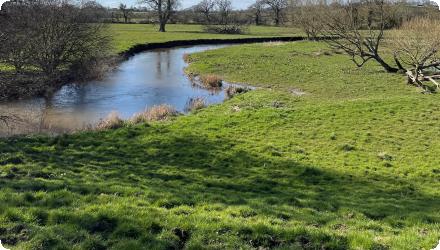
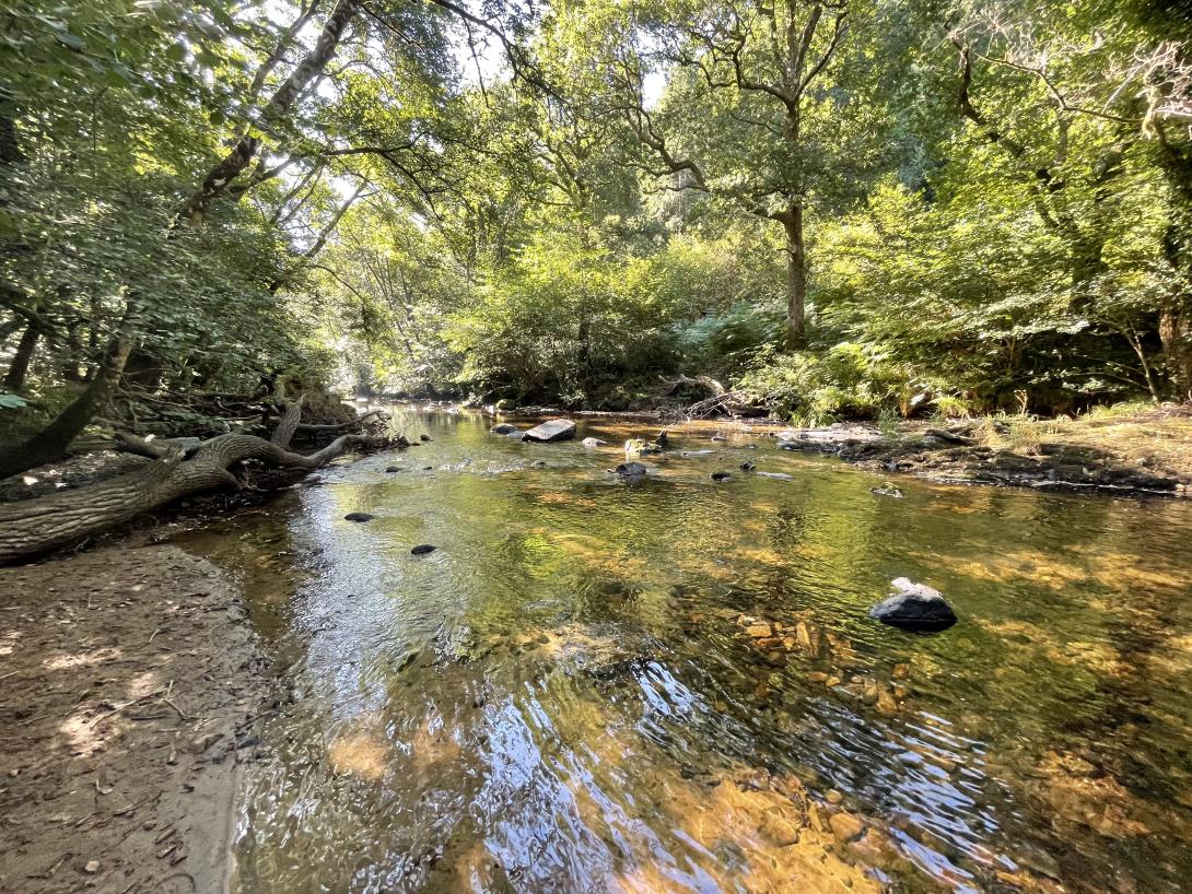
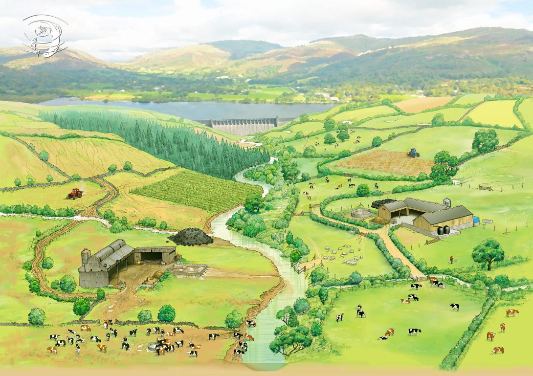
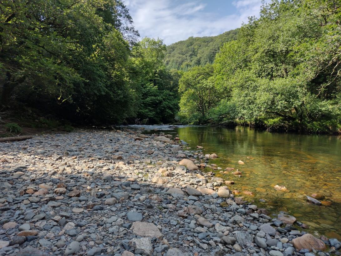
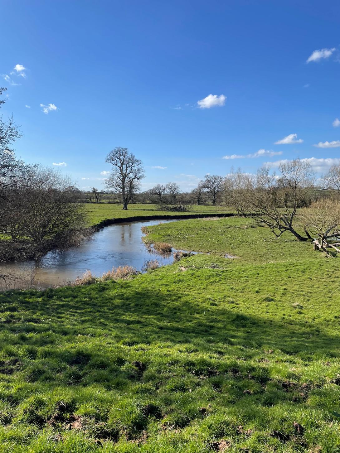
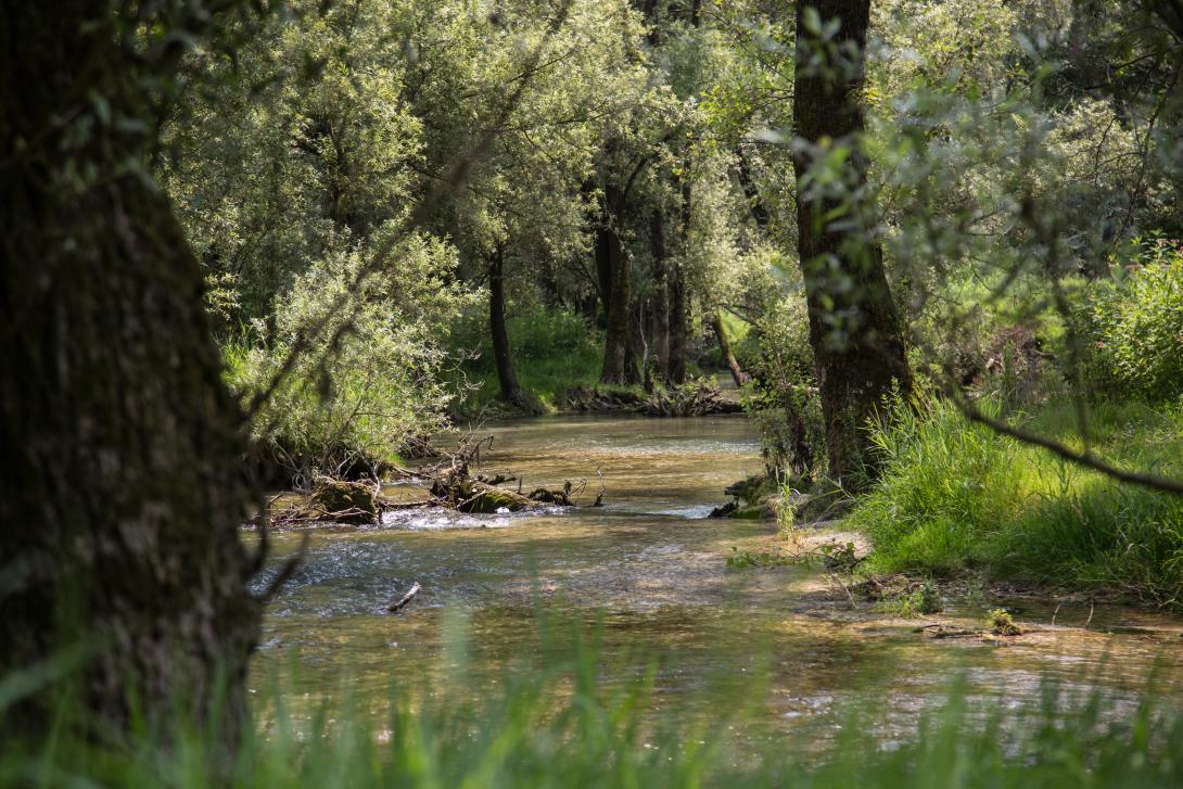
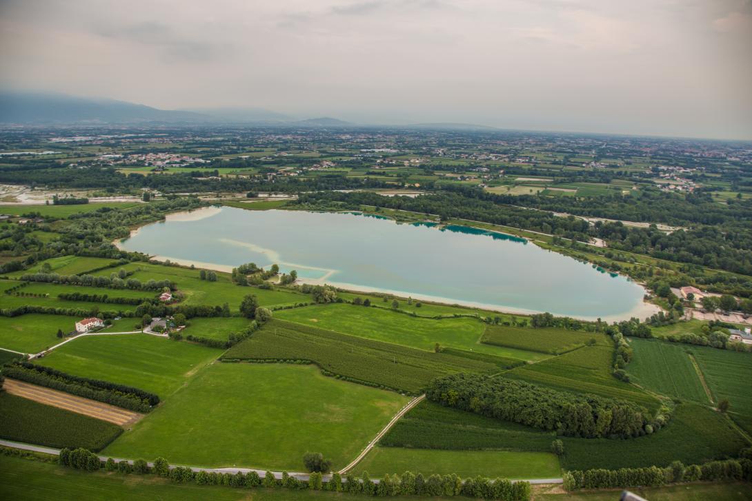
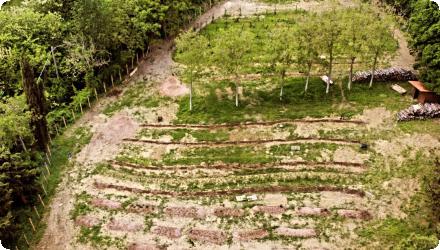
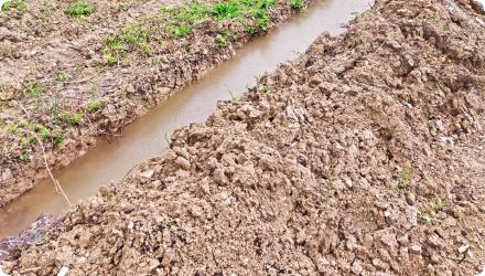
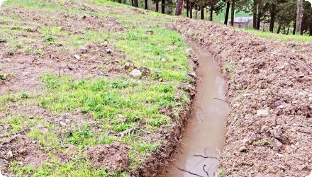
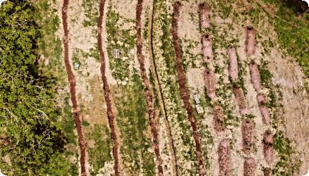
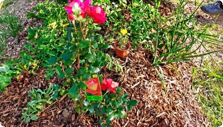
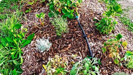
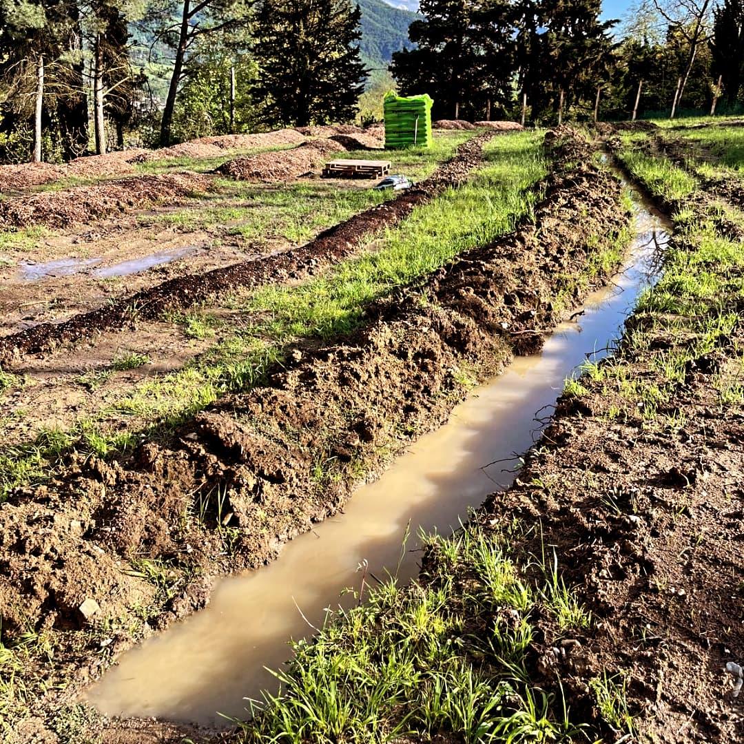
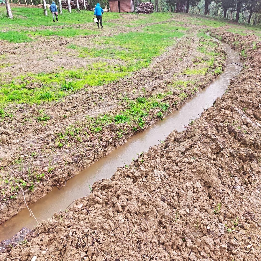
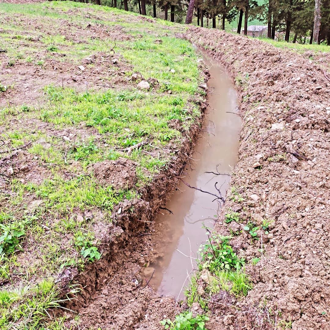
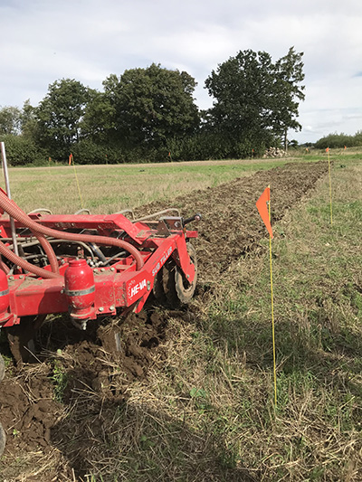
Deep, non-inversion loosening below plough depth using narrow or winged tines to fracture compacted layers that restrict infiltration and rooting. Applied selectively where a pan or dense subsoil is diagnosed, and timed when the target layer is dry enough to shatter. Fracturing restores vertical macropores, increases infiltration, and can reduce overland flow and erosion; it also enables deeper root water uptake. Effects may be short-lived if...

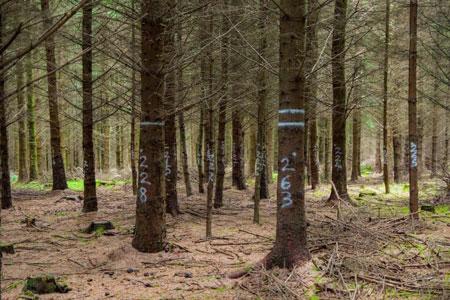
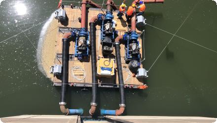
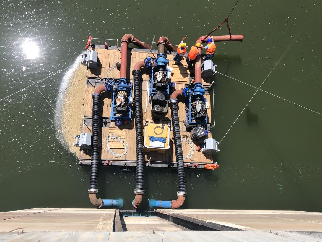
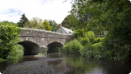
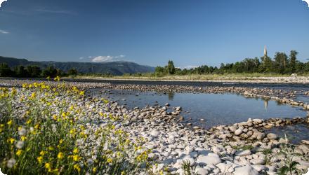
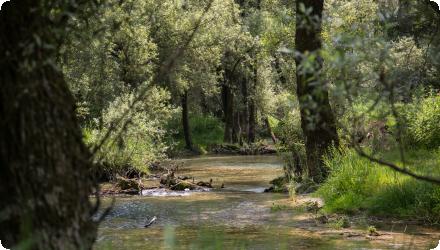
Sub-soil loosening with straw pellets in Orup, Sweden

Subsoiler in action
Possible benefits with level
Benefits Level
BP1 - Store runoff
Medium
BP2 - Slow runoff
High
BP6 - Increase infiltration and/or groundwater recharge
High
BP7 - Increase soil water retention
High
BP9 - Intercept pollution pathways
Low
BP10 - Reduce erosion and/or sediment delivery
Low
BP11 - Improve soils
Medium
ES1 - Water storage
Medium
ES6 - Groundwater/aquifer recharge
High
ES7 - Flood risk reduction
Medium
ES9 - Filtration of pollutants
Low
PO7 - Prevent surface water status deterioration
Low
PO9 - Take adequate and co-ordinated measures to reduce flood risks
Medium
PO14 - Prevention of biodiversity loss
High
Summary
This case study reports a 13-year management experiment on an oligotrophic mountain meadow in Šumava National Park, Czech Republic. After the end of hay-making and autumn grazing, three regimes were compared on permanent plots cut each July. Mulching left the cut biomass in place, mowing removed it, and fallow had no cutting. The site sits at 1160 m on acidic brown soils with cool, wet climate. Monitoring combined yearly vegetation surveys in nested 1 m² plots and pre-treatment biomass harvests.

Mulching maintained biomass while improving diversity and soil condition. Mean aboveground biomass averaged 319 g m⁻² under mulching, 301 g m⁻² under mowing, and 386 g m⁻² in fallow. Species richness in mulched plots increased from 11.2 to 18.6 species per m² between 1997 and 2009, with a shift from grass dominance to forb-rich swards. By year nine, soils in mulched plots showed higher pHKCl (3.8 to 4.4), organic matter (4.6–6.3%), total N (0.31–0.45%), and greater plant-available P, K, Mg and Ca.

Functional trait analyses revealed communities under mulching moved toward acquisitive strategies with higher SLA, LNC and LPC and lower LDMC, SDMC, C:N and plant height. Many trait diversities increased with mulching, although SLA diversity converged. In contrast, mowing alone tended to deplete nutrients and fallowing drove litter build-up and grass competition, both reducing diversity. Detectable ecological divergence among treatments appeared only after 5–6 years, reflecting slow responses in cold, acidic conditions. The authors conclude that annual mulching is a practical, biodiversity-friendly alternative where traditional grazing has ceased, provided site fertility remains low.
Last update
2025
Summary
Ireland is testing a practical pathway to move even-aged Sitka spruce away from clearfell toward Continuous Cover Forestry. ContinuFOR is a four-year collaboration led by UCD with Teagasc and Maynooth University, designed to quantify the synergies and trade-offs of this shift for timber, biodiversity, carbon and resilience. It builds on a decade of Irish work and is funded by the Department of Agriculture, Food and the Marine.
The project uses two long-term trial forests at Ballycullen, County Wicklow, and Fossy Hill, County Laois. These sites were first established under the LISS project, then advanced in the replicated TranSSFor experiment. Each site was divided into blocks and 50 × 50 m plots where three thinning pathways were randomly assigned and compared. The reference is Low thinning. Two transformation options are tested: Crown thinning that selects and releases quality “Q-trees”, and Graduated Density Thinning that opens the canopy more strongly near racks to create heterogeneous structure and regeneration opportunities.
By 2023 both sites had reached a fourth thinning, using marked extraction racks, mechanised harvesting and repeated measurements to track growth, stability, wood quality and regeneration. Field updates confirm the partnership with FERS Ltd for modelling and the continuing emphasis on knowledge transfer.
ContinuFOR operates within a national policy context that now provides practical support to owners who choose CCF. Under the Woodland Improvement Scheme 2023–2027, Element 3 offers fixed per-hectare grants for three CCF interventions and a Payment for Ecosystem Services premium when a CCF management plan is followed. The scheme acts as the scaling pathway from research plots to wider adoption.
Practice examples such as the Dunranhill case in County Wicklow illustrate how regular small harvests, careful timing and protection of regeneration can deliver transformation while maintaining cover. These lessons feed back into the project’s guidance and outreach.
Last update
2025
Summary
Low-lying agricultural region in the Hungarian Great Plain, where the Tisza River and Lake Tisza face recurrent floods, intensifying droughts and growing competition between agriculture, ecology, tourism, industry and drinking water. The pilot tests integrated water- and landscape-management methods, economic analysis and water-retention measures on farmland, supported by a multi-stakeholder pilot site community and the InnWater governance assessment tools.


Led by REKK&KÖTIVIZIG
Summary
Large coastal and rural region in South West England with extensive river networks, high-value bathing waters and increasing pressure from climate variability, agriculture and tourism. The pilot strengthens catchment partnerships, expands citizen science and tests governance diagnostic and data tools to improve coordination, water quality management and long-term resilience.


Led by WRT
Summary
Medium-sized Mediterranean city in Alt Empordà (Catalonia) with high-quality drinking water mostly supplied by the Boadella reservoir, but exposed to recurrent scarcity and strong seasonal peaks driven by tourism and irrigation. The pilot strengthens coordination between municipal, basin and regional actors, sets up a River Basin Water Forum and applies governance diagnostic tools to support more transparent, participatory allocation decisions in the Muga catchment.


Led by EUT and FIGUERES
Summary
River basin in the Veneto region (Italy) where drinking water for over 1.5 million people and irrigation for intensive agriculture rely mainly on groundwater and spring-fed wetlands. The pilot addresses groundwater decline, ecosystem pressures and fragmented responsibilities by combining ERC-based tariffs, digital monitoring tools and a new multi-actor governance committee.

An interactive calculator was developed with Etra SpA, the Consiglio di Bacino Brenta and the technical support of Etifor | Valuing Nature. The tool allows users to explore the annual cost of the integrated water service, compare their water consumption to the local average, and better understand how water tariffs are allocated.
Access the calculator here: https://etra.etifor.net/

Led by CBB and ETIFOR
Summary
At Locquirec’s Moulin de la Rive, the old aqueduct and undersized culvert on the Lapic blocked fish migration and sediment transport and created a drop that proved impassable, despite the site being a priority action zone for eel and sea trout. Rescue electrofishing during works confirmed the barrier effect, with far fewer eels and trout upstream than downstream. The project replaced the structure with a 20 m precast frame bridge set 60 cm lower than the former invert, restored a more natural bed with stone and blocks, and added a concrete control wall at the inlet so that high flows can safely spill into the upstream wetland reedbed. The design also integrates a faunal shelf for mammals and bat roosting blocks under the deck, and it secured vulnerable sewer lines that lay near the channel bed. Implementation required careful coordination around numerous underground utilities and a tight spring window to avoid the summer tourism season, combined with strong, proactive communication with residents, surfers and local associations. Traffic on RD64 was diverted from 17 March, and the route reopened ahead of schedule on 30 April 2025. Funding came from Agence de l’Eau Loire-Bretagne, Région Bretagne and Morlaix Communauté. Early observations show fish passage working, otter prints upstream and downstream, macrophyte recovery and rapid revegetation of disturbed zones. The project contributes to WFD ecological continuity targets in a basin facing multiple pressures, including agricultural pollution, hydrocarbons from runoff and intensive anthropogenic footprint.
Last update
2025
Summary
French outermost island with abundant but unevenly distributed water resources, ageing infrastructure and relatively high household bills under progressive block tariffs. The pilot applies economic and digital modelling tools, combined with structured stakeholder dialogue, to assess tariff scenarios, guide investment in leakage reduction and support more coherent, equitable water governance.


Led by University of La Reunion
Summary
On a 1.2 ha hillside near Travo (Piacenza), a privately funded permaculture retrofit in 2024 installed a contour-based water retention system to rehydrate compact loamy clays and stop erosion. Using site reconnaissance and a functional analysis, the design by the Italian Permaculture Institute placed several 50×50 cm swales on level curves along primary and secondary flow paths, paired with raised beds and berms. Syntropic tree lines, placentas and food-forest bombs introduce layered, successional plantings across fruit trees, a diversified vineyard, vegetables and aromatic herbs. Mulching with wood chips and composted manure protects the soil, reduces evaporation and feeds soil biology.

With 901 mm of annual rainfall and slopes around 10 to 19 degrees, the system is sized for passive capture and infiltration. A 45 m swale is estimated to store about 20,000 L per year, and the overall swale network at least 70,000 L per year, with safe gravity overflows directing surplus to the valley. Implementation emphasised simple earthworks, precise contouring and minimal mechanical inputs, with maintenance limited to grass cutting, light pruning every three years and periodic compost applications.

Early observations show swales performing as intended, no surface erosion or on-site flooding, improved soil moisture near tree lines and clear increases in insects, birds and herb diversity. Some uneven filling occurred during heavy rain and is being addressed through refinements of inlets and overflows. The project targets flood and drought mitigation at site scale, soil and water conservation, biodiversity gains and long service life of at least 50 years, with full retention potential expected within about five years.
Last update
2025