Ongoing

Summary
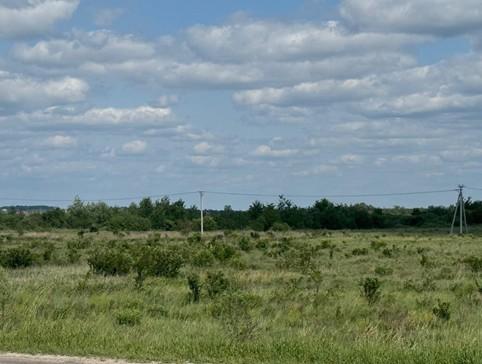
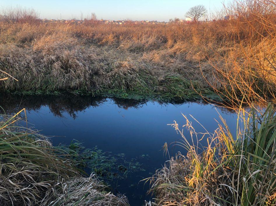
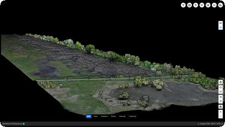
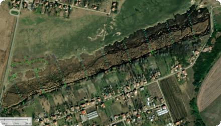
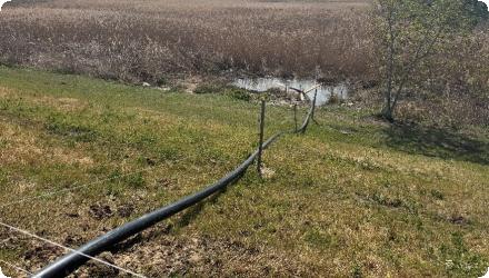
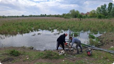
For this case study the core objective is how to enhance the sponge functioning in a modern, optimized drained landscape. The goal is to improve the understanding of the system to increase groundwater levels, seepage, and stream discharge during summer. Some of the aspects that will be further explored include: stimulating groundwater recharge through infiltration and reducing drainage throughout the catchment.
Last update
2026
Summary
For this case study the core objective is how to enhance the sponge functioning in a modern, optimized drained landscape. The goal is to improve the understanding of the system to increase groundwater levels, seepage, and stream discharge during summer. Some of the aspects that will be further explored include: stimulating groundwater recharge through infiltration and reducing drainage throughout the catchment.
Last update
2026
Summary
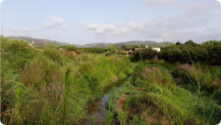
For this case study the core objective is how to enhance the sponge functioning in a modern, optimized drained landscape. The goal is to improve the understanding of the system to increase groundwater levels, seepage, and stream discharge during summer. Some of the aspects that will be further explored include: stimulating groundwater recharge through infiltration and reducing drainage throughout the catchment.
Last update
2026
Summary
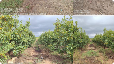
This case study reports a 13-year management experiment on an oligotrophic mountain meadow in Šumava National Park, Czech Republic. After the end of hay-making and autumn grazing, three regimes were compared on permanent plots cut each July. Mulching left the cut biomass in place, mowing removed it, and fallow had no cutting. The site sits at 1160 m on acidic brown soils with cool, wet climate. Monitoring combined yearly vegetation surveys in nested 1 m² plots and pre-treatment biomass harvests.

Mulching maintained biomass while improving diversity and soil condition. Mean aboveground biomass averaged 319 g m⁻² under mulching, 301 g m⁻² under mowing, and 386 g m⁻² in fallow. Species richness in mulched plots increased from 11.2 to 18.6 species per m² between 1997 and 2009, with a shift from grass dominance to forb-rich swards. By year nine, soils in mulched plots showed higher pHKCl (3.8 to 4.4), organic matter (4.6–6.3%), total N (0.31–0.45%), and greater plant-available P, K, Mg and Ca.

Functional trait analyses revealed communities under mulching moved toward acquisitive strategies with higher SLA, LNC and LPC and lower LDMC, SDMC, C:N and plant height. Many trait diversities increased with mulching, although SLA diversity converged. In contrast, mowing alone tended to deplete nutrients and fallowing drove litter build-up and grass competition, both reducing diversity. Detectable ecological divergence among treatments appeared only after 5–6 years, reflecting slow responses in cold, acidic conditions. The authors conclude that annual mulching is a practical, biodiversity-friendly alternative where traditional grazing has ceased, provided site fertility remains low.
Last update
2025
Summary
Ambrosia Forest in Villars-sur-Var is a Terre de Liens farm converting 3.7 ha of abandoned vineyard terraces into a regenerative fruit landscape. In 2024, farmers Morgane and Xavier began a sponge strategy to slow, spread and sink stormwater. Works include one pond, 253 m of contour swales in a keyline layout, new hedgerows and a multistrata syntropic plot with permanent mulches and green manures. Goals are to reduce erosion on steep clay soils, rebuild soil life and create productive habitat.

The project received 50,000 euros from the Festival de Cannes environmental call with Fondation Terre de Liens. Volunteers and schools support planting days with partners such as Des Enfants et des Arbres.

Site diagnosis showed compacted soils and fast runoff from terraces. During the October 2024 floods the swales and pond captured flows and no rilling was observed on treated plots. Maintenance includes post storm checks and mulch renewal. Microbial monitoring is planned.

Expected outcomes are higher infiltration, improved structure, more biodiversity and resilient fruit production. The approach is low tech and transferable to Mediterranean mountain farms with terraces when design follows local contours and storm sizing.
Last update
2025
Summary
Sponge Scapes case study UK 06

The New Forest Lymington Catchment Restoration began through the EU LIFE New Forest Wetland Restoration Project between 2002 and 2006. The project aimed to reverse more than a century of artificial drainage and channel modification that had altered the hydrology of the New Forest's river systems. Historic straightening and deepening of streams had disconnected rivers from their floodplains, lowered groundwater levels and degraded wetland habitats. Restoration works focused on infilling artificial drainage channels, reinstating historic meanders, reconnecting rivers with their floodplains and restoring natural geomorphological processes. More than 10km of river channel and over 600ha of wetland habitats were restored across the New Forest river basins. Subsequent restoration programmes have continued this work by re-meandering additional sections of the stream, introducing large woody material and heather bale installation, mire restoration and adaptive catchment management. ; The River Cole

Restoration was implemented between 1994 and 1996 as part of the European Union LIFE Demonstration Project to restore a heavily modified lowland river and demonstrate the benefits of nature-based river restoration. The project focused on a 2.5 km reach of the River Cole near Coleshill, Oxfordshire, where historical channel straightening had disrupted natural river processes, disconnected the river from its floodplain, and reduced habitat diversity.
Restoration works included re-meandering the river, re-establishing a more natural floodplain profile by insetting the floodplain, introducing large woody material to the upstream reaches, and creating reedbeds and backwaters to enhance habitat diversity. At the time, this was one of the largest river restoration projects undertaken in the UK and Europe, demonstrating the potential for restoring natural river processes as an alternative to traditional engineered river management.

Since its completion, the River Cole has become one of the UK's most influential river restoration demonstration sites and is featured within the River Restoration Centre (RRC) guidance and handbook. Long-term monitoring has documented sustained improvements in channel morphology, biodiversity, and floodplain connectivity. In 2023, the site became part of the SpongeScapes project, further reinforcing its role as an internationally recognised example of nature-based river restoration and an important reference for future river restoration initiatives across Europe.
Last update
2026
Summary
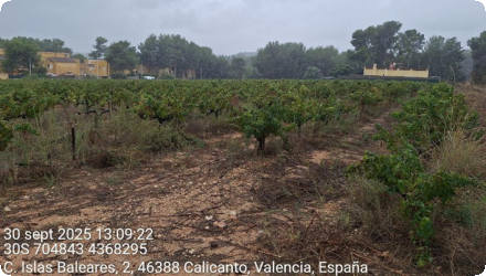
The Léguer River catchment is one of the most hedged areas in Brittany, but has suffered a decline in its hedgerow mesh as a result of agricultural mechanization and land consolidation operations. Faced with the degradation of the Leguer's water quality observed in the 1990s, elected officials in the watershed became aware of the need to preserve the hedgerow, and to consider its restoration to improve water quality. Since 1999, the Leguer's watershed committee undertook awareness-raising of the watershed population, before experimenting with the restoration of hedges and embankments in several pilot basins.

This work was then extended to the entire watershed, leading to the restoration of hundreds of kilometers of hedges and embankments. This action is still ongoing today (with new hedges planted every winter), however no longer managed at the whole basin scale but by different intermunicipalities.

It aims in particular to ensure the sustainability of existing linear thanks to urban planning tools and the promotion of hedged farmland.

A complementary action comes with the river management (as the Léguer is labellized "Wild River"), which includes riparian forest restoration to create shade on the river and reduction of the risk of water heating, purification processes, biodiversity of the watercourse, etc.

The developpment of agroforestry and intercropping is also being studied to further the agricultural practices evolution in the basin.
Last update
2025
Summary
Headwater wet meadow (Saint-Évarzec, Finistère) where two drainage ditches short-circuited a hillside spring and routed nitrate-rich flows directly to the stream. In 2014, the ditches were infilled (north ditch partly to keep upstream runoff entering the meadow) and a small berm removed, with protected-species precautions. The short-circuit was eliminated: all slope water now crosses the wetland, maintaining high N removal; soil saturation increased and low-water levels rose slightly near the former ditch. Agricultural operability decreased (bearing capacity), so mowing is now feasible only in very dry years; the plot is used within a Brittany “pie-noir” grazing circuit.

However, the potential for agricultural exploitation since implementation is not as high as hoped, unlike the very satisfying hydrological effect : the meadow remans wet even during very dry years like 2022. The peaty wet part of the site is intentionally left to natural woodland succession (hoping for future understorey grazing), as it is not suitable for agricultural use otherwise.

The project owner/operator is the Communauté de communes du Pays Fouesnantais with RERZH technical support and monitoring. The costs were very low, an excavator hire for ~€560 and the rest of the works costs were included in the collectivity's budget (studies/monitoring covered by RERZH).

More recently, after the initial over-excavation and reuse of oxidised berms diverted part of the spring toward the southern sector, increasing waterlogging and limiting mowing, a corrective package created a small pond at the spring with overflow toward the peatier/northern side, resumed brush-cut mowing to restore a haying dynamic, and reinforced invasive nutria control in 2024.
Last update
2025
Summary
Due to major developments over the past two centuries, the Eau Morte Valley (a tributary of Annecy Lake) has a hydrosedimentary dysfunction with incised areas and areas with sediment excesses and an alluvial marsh disconnected from flooding. To reduce the impacts of the river's floods on uses, and to prevent the risk of urban areas flooding, a functional restoration programme for the valley has been developed by the federation of municipalities of Annecy lake sources. It was based on the renaturation of the Eau Morte bed, the functional restoration of the Giez marsh and the construction of crossing structures. This work has given the marsh a role as a flood expansion area. This project was also carried out by involving local residents in a process of territorial dialogue so that they themselves would be actors in the area and would participate in its management.
Last update
2025
Summary
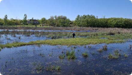
Since 1984, the Ille-et-Vilaine Hunting Federation has been restoring a 550-ha peat marsh heavily drained and cropped in the 20th century. Maize fields were converted to hay meadows and pasture through agreements with farmers; a peat bog and a reedbed were restored; and water levels are artificially managed to enable winter flooding. The Méleuc was re-routed into a more natural course. The goals (improve staging conditions for migratory waterbirds and recover marsh functions (carbon sequestration, natural water purification)) have been met for bird use, while water-level management still needs optimisation. Recent sources add that the site forms part of the Ramsar “Bay of Mont-Saint-Michel” and its Natura 2000 network; roughly 380 ha are held by FDC35 and the Foundation for the Protection of Wildlife Habitats. A major reedbed project (“Bois de la Mare”) cleared poplar/spruce to restore ~16 ha of phragmites as compensation linked to the Mont-Saint-Michel maritime project, awarded France’s Ecological Engineering Prize in 2018. Management relies on mowing then grazing via agreements with about twenty farmers; hunting is excluded except targeted wild-boar control, and guided public activities are now offered. In 2021 the regional scientific council (CSRPN) issued a favourable opinion toward designation as a Regional Nature Reserve over a 768-ha perimeter (process ongoing). Winter counts report up to c. 6,000 anatids.
Last update
2025